The best walks and hikes around Lettret
4.3
(339)
2,614
hikers
157
hikes
Hiking around Lettret offers a variety of trails through a landscape characterized by rolling hills and valleys, often featuring geological formations like the Châteauvieux Marls. The region's terrain includes moderate elevation changes, providing diverse experiences for hikers. These routes often connect small villages and offer views of the surrounding countryside.
Best hiking trails around Lettret
- The most popular hiking route is Magic – The Châteauvieux Marls loop from Tallard, a 7.1 miles (11.4 km) moderate trail that takes 3…
Last updated: October 12, 2026
4.7
(22)
87
hikers
11.4km
03:30
400m
400m
Moderate hike. Good fitness required. Easily-accessible paths. Suitable for all skill levels.
4.7
(18)
101
hikers
5.96km
01:39
100m
100m
Easy hike. Great for any fitness level. Easily-accessible paths. Suitable for all skill levels.

4.2
(6)
30
hikers
4.11km
01:10
100m
100m
Easy hike. Great for any fitness level. Easily-accessible paths. Suitable for all skill levels.
5.0
(2)
15
hikers
6.81km
02:05
220m
220m
Moderate hike. Good fitness required. Easily-accessible paths. Suitable for all skill levels.
5.0
(1)
9
hikers
6.56km
02:04
260m
260m
Moderate hike. Good fitness required. Easily-accessible paths. Suitable for all skill levels.
Get access to more routes and recommendations from other explorers.
Already have an account?
Our route recommendations are based on thousands of hikes, rides, and runs completed by other people on komoot.
Start today with a free account
Your next adventure awaits.

Tips from the Community

Tallard is a French commune with 1,996 inhabitants located in the Hautes-Alpes department in the Provence-Alpes-Côte d'Azur region. 570-1,121 m above sea level.
16
0


visit is of course subject to a fee
1
0

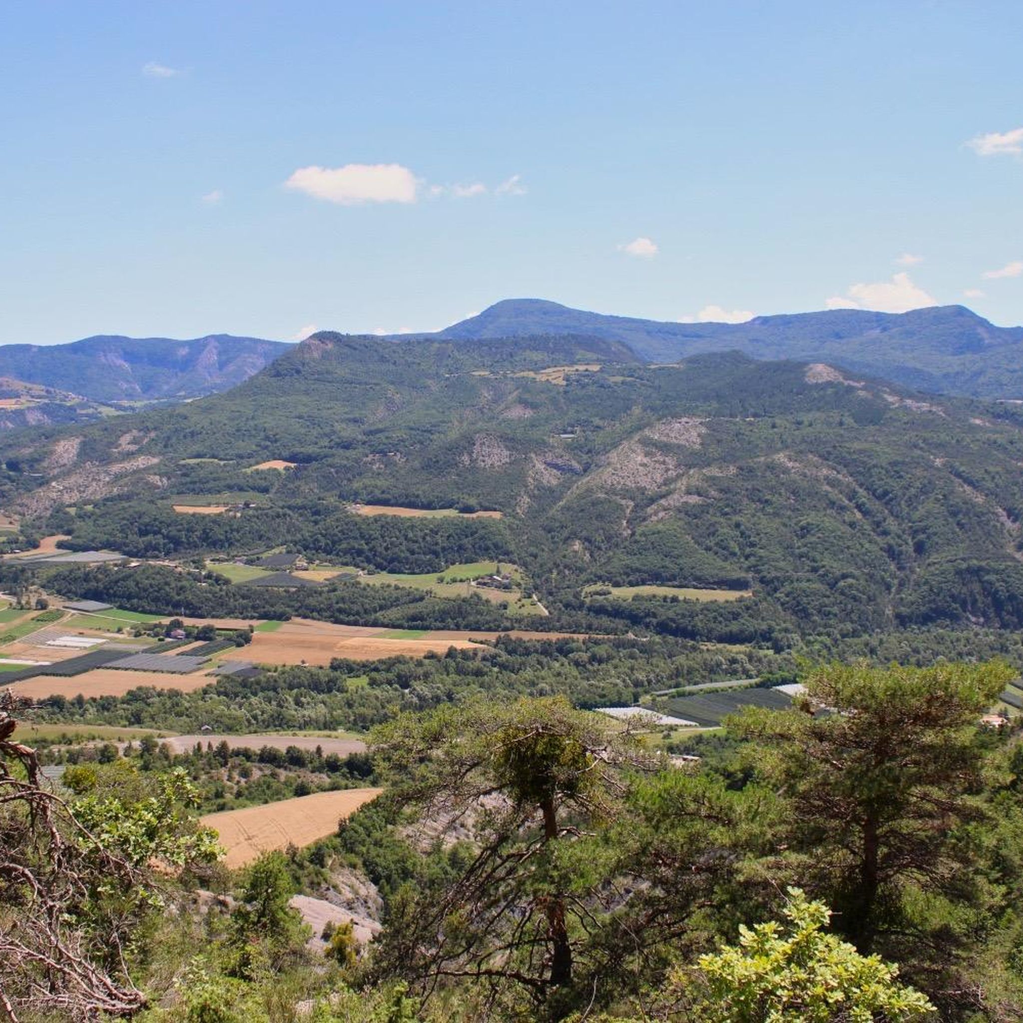
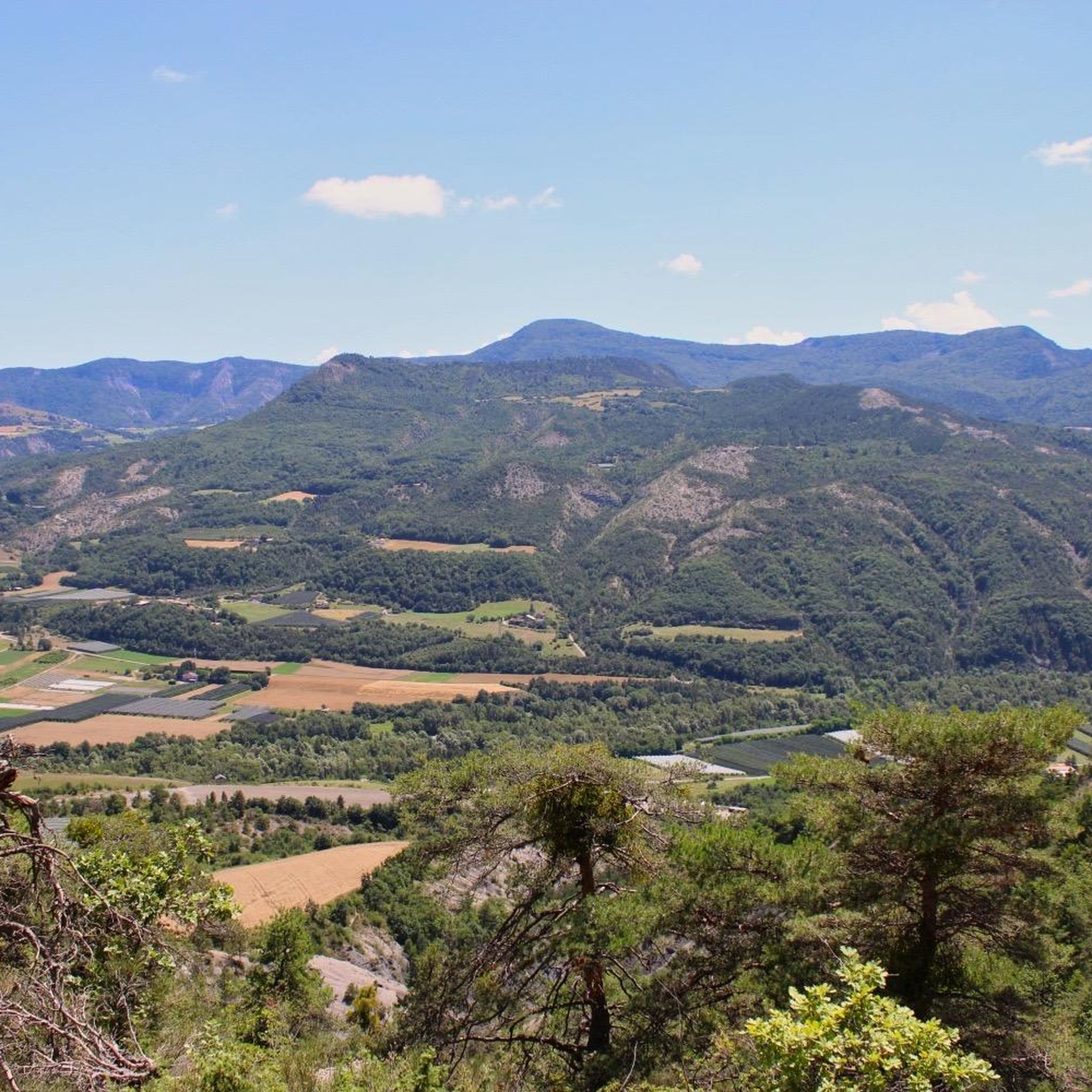
Beautiful panoramic view of Tallard
1
1

Tallard village is famous for its medieval heritage, particularly the 14th-16th century castle. The streets are narrow and winding and you can really feel the medieval heritage while walking or riding around.
1
0

The small streets of the town of Tallard lead to its 10th century castle. Its exceptional condition is a reference for all history and architecture enthusiasts.
1
1

Town with a beautiful castle. Good for a break
1
0
Frequently Asked Questions
How many hiking trails are available around Lettret?
There are over 160 hiking trails in the Lettret area, offering a wide range of options for different skill levels and preferences. This includes 59 easy routes, 97 moderate routes, and 7 more challenging trails.
What kind of terrain can I expect on hikes near Lettret?
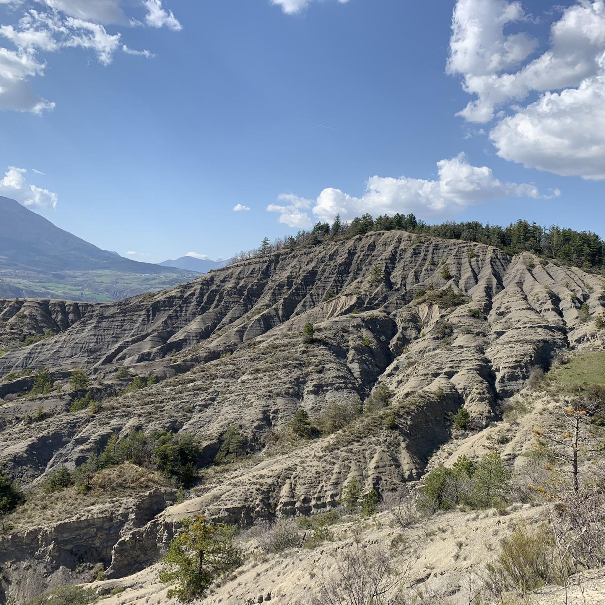
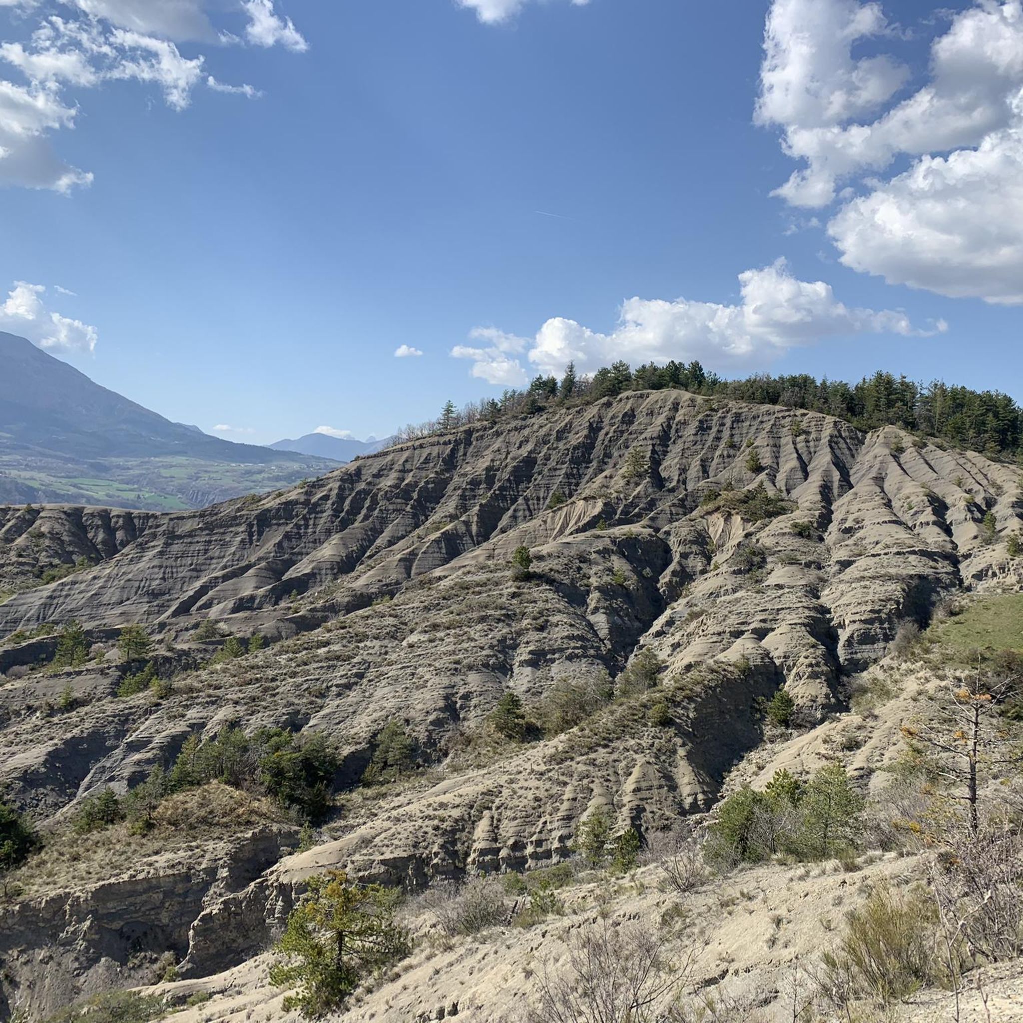
Hiking around Lettret features a landscape of rolling hills and valleys, often characterized by distinctive geological formations such as the Châteauvieux Marls. You'll encounter moderate elevation changes, providing diverse experiences, and many routes connect small villages with views of the surrounding countryside.
Are there easy hiking trails suitable for beginners in Lettret?
Yes, Lettret offers many easy trails perfect for beginners. For example, the Saint-Abdon – Tallard loop from Tallard is an easy 3.7-mile (6.0 km) path with gentle gradients. Another great option is the Saint-Abdon – Tallard Castle loop from Tallard, which is 2 miles (3.2 km) long and also considered easy.
Are there any challenging hikes around Lettret?
While most trails are easy to moderate, there are 7 routes classified as difficult for those seeking a greater challenge. These typically involve more significant elevation gains and longer distances. You can explore these options on komoot to find one that suits your fitness level.
Are there circular hiking routes available in Lettret?
Yes, many of the trails around Lettret are circular, allowing you to start and end in the same location. A popular example is the Magic – The Châteauvieux Marls loop from Tallard, a 7.1-mile (11.4 km) moderate trail exploring unique geological formations. Another option is the Orientation table – Panorama loop from Châteauvieux, a 2.5-mile (4.1 km) easy route.
What do other hikers say about the trails in Lettret?
The hiking routes in Lettret are highly rated by the komoot community, with an average score of 4.4 stars from over 260 reviews. Hikers often praise the diverse terrain, the scenic views of the marl landscapes, and the well-connected paths that lead through charming villages.
What interesting places can I explore near the hiking trails in Lettret?
Around Lettret, you can discover several interesting attractions. Consider visiting Tallard Castle, a historical site, or exploring the town of Gap. For natural landmarks, the Ceuze pike offers impressive views.
Are the hiking trails around Lettret suitable for families with children?
Many of the easier trails in Lettret are suitable for families. Routes with gentle gradients and shorter distances, like the 3.7-mile Saint-Abdon – Tallard loop from Tallard, are ideal for walks with children. The varied landscape also provides engaging scenery for younger hikers.
Can I bring my dog on the hiking trails in Lettret?
Generally, dogs are welcome on most hiking trails in the Lettret region. It's always recommended to keep your dog on a leash, especially in areas with livestock or near roads, and to clean up after them. Check specific trail regulations if you plan to visit nature reserves.
What is the best time of year to go hiking in Lettret?
The best time to hike in Lettret is typically during spring, summer, and early autumn. These seasons offer pleasant temperatures and vibrant scenery. Spring brings wildflowers, summer provides warm weather, and autumn showcases beautiful foliage. Winter hiking is also possible, but some trails might be muddy or require appropriate gear.
Are there any hikes with good viewpoints in Lettret?
Yes, several trails offer excellent viewpoints. The Orientation table – Panorama loop from Châteauvieux is specifically designed to lead to scenic overlooks. Many routes traversing the rolling hills and valleys will also provide expansive views of the surrounding countryside and geological formations.
Is there public transport access to the trailheads around Lettret?
Public transport options to specific trailheads around Lettret can be limited, as many routes start from smaller villages. It's advisable to check local bus schedules for connections to towns like Tallard or Châteauvieux, which serve as common starting points for several trails. Driving and parking are often the most convenient ways to access many routes.
Most popular attractions around Lettret

Get inspired with the komoot mobile app


Explore more
Browse the best Hikes in other regions.
