The best road cycling routes around Fouillouse
4.7
(106)
3,179
riders
64
rides
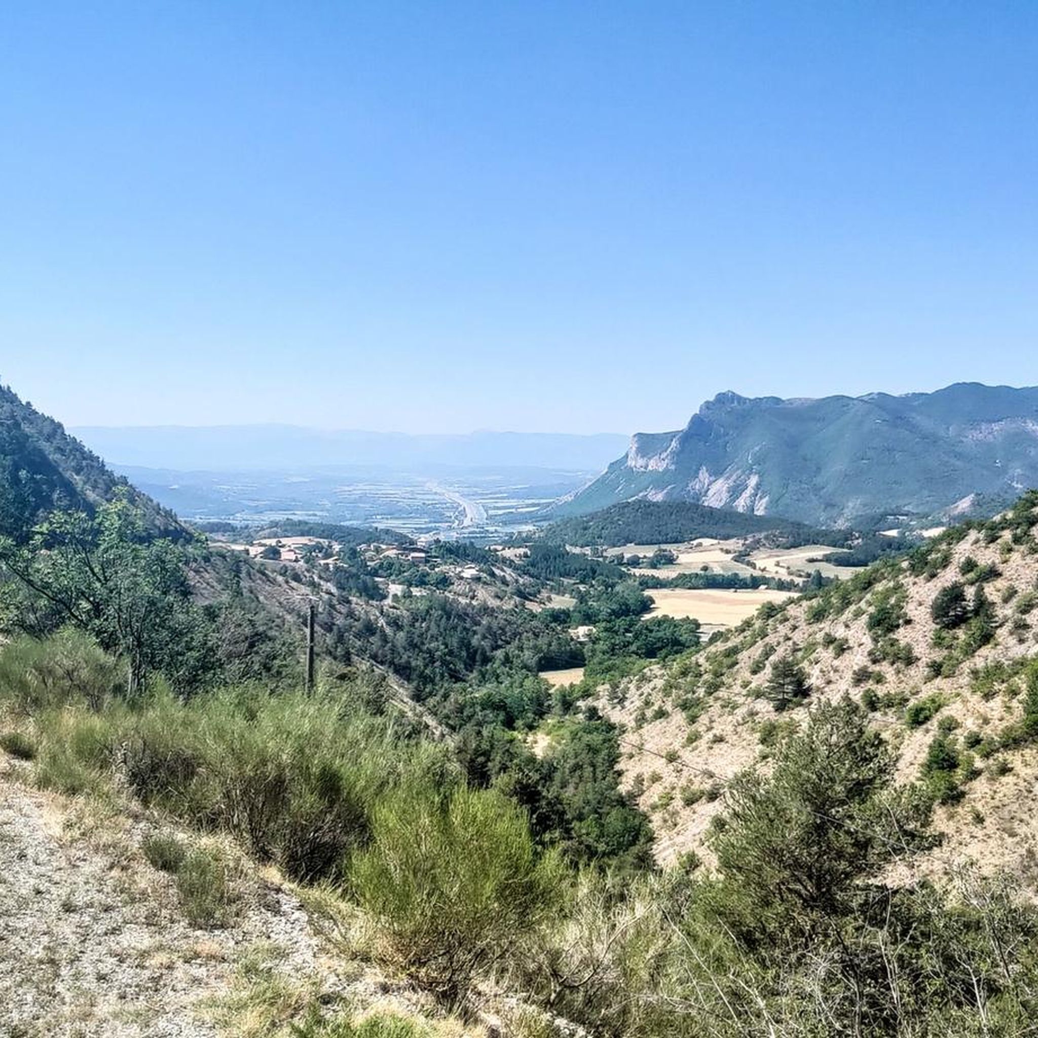
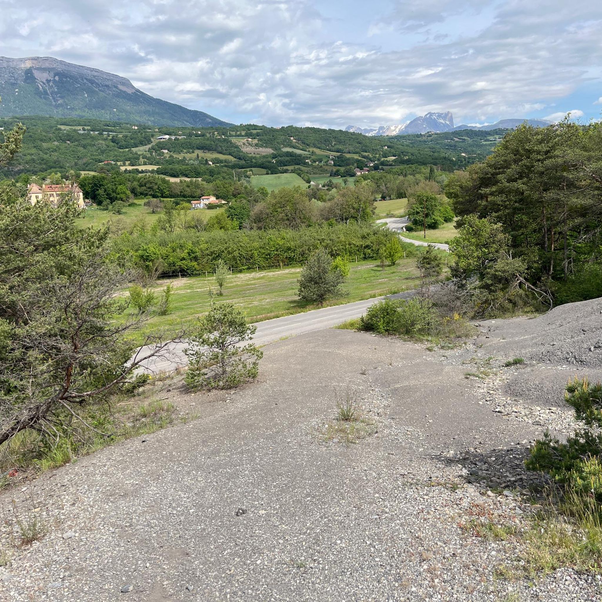
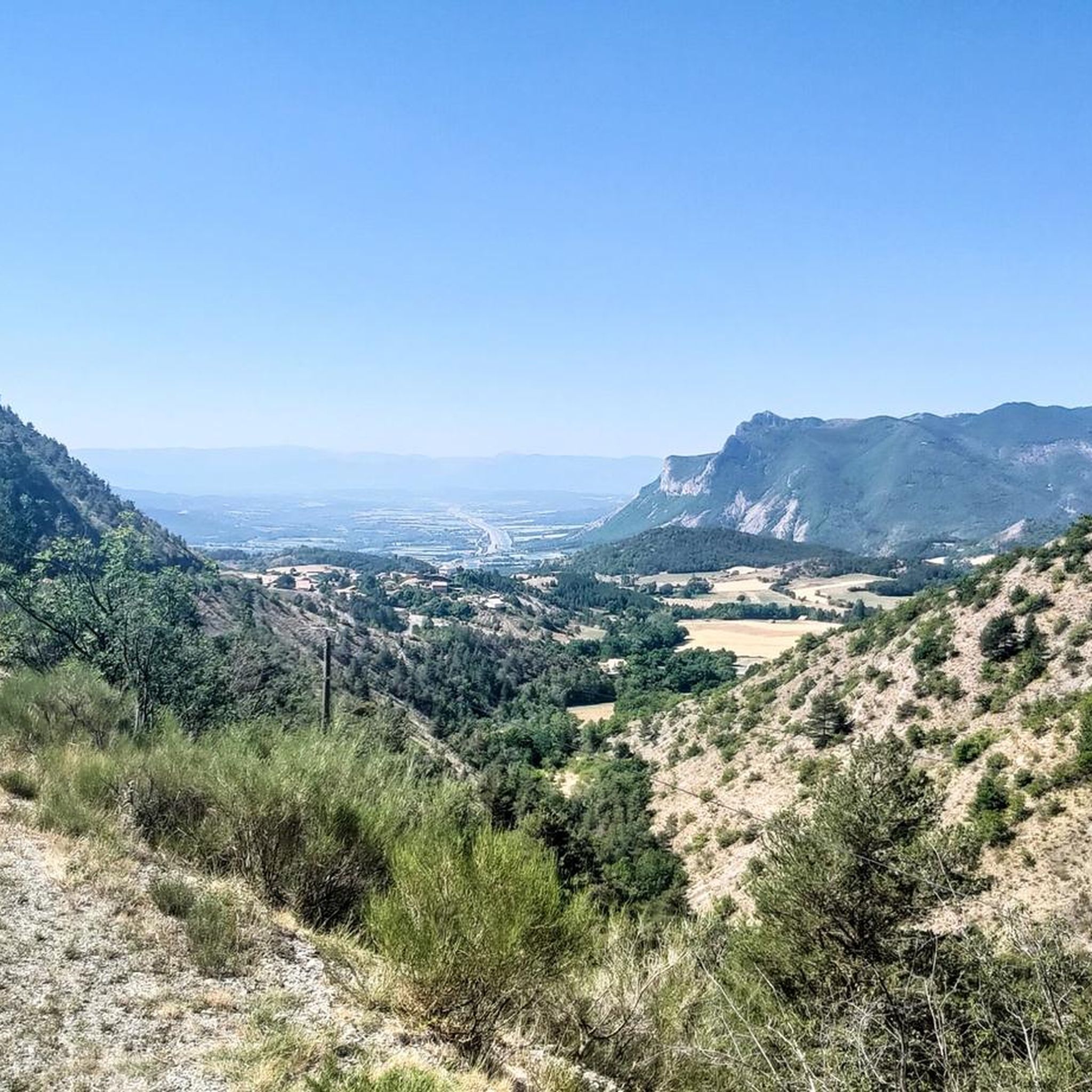
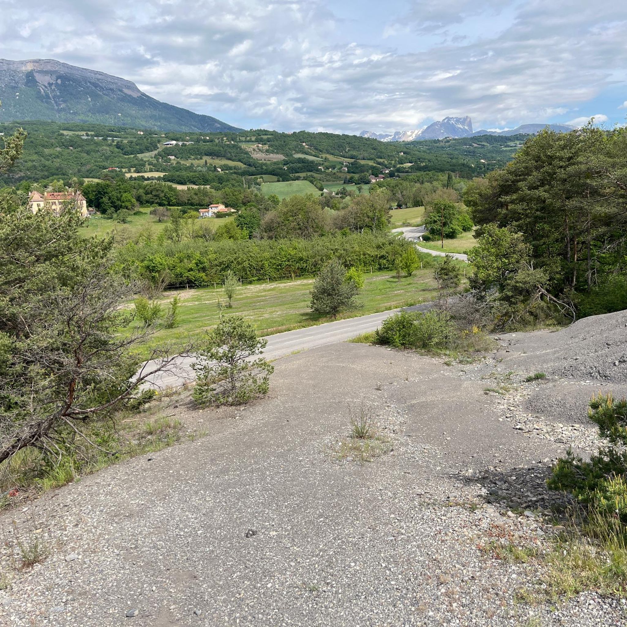
Road cycling routes around Fouillouse are situated in the Hautes-Alpes department of France, a region characterized by its alpine scenery and challenging mountain terrain. Nestled at an altitude of 1,900 meters, Fouillouse serves as a gateway to the Ubaye Massif, featuring unspoiled landscapes of forests, valleys, and high mountain passes. The area is renowned for its demanding climbs, with roads often leading to legendary passes exceeding 2,000 meters in altitude.
Best road cycling routes around Fouillouse
- The most popular road…
Last updated: September 6, 2026
4.4
(13)
243
riders
52.7km
02:46
910m
910m
Hard road ride. Very good fitness required. Mostly well-paved surfaces and easy to ride.
5.0
(1)
82
riders
56.1km
02:45
810m
810m
Moderate road ride. Good fitness required. Mostly well-paved surfaces and easy to ride.

Sign up for free
4.3
(4)
78
riders
34.7km
01:38
410m
410m
Moderate road ride. Good fitness required. Mostly well-paved surfaces and easy to ride.
32
riders
93.2km
04:31
1,360m
1,350m
Hard road ride. Very good fitness required. Mostly well-paved surfaces and easy to ride.
49
riders
81.8km
03:57
1,100m
1,100m
Hard road ride. Very good fitness required. Mostly well-paved surfaces and easy to ride.
Get access to more routes and recommendations from other explorers.
Sign up for free
Already have an account?
Our route recommendations are based on thousands of hikes, rides, and runs completed by other people on komoot.
Start today with a free account
Your next adventure awaits.
Login or Signup

Tips from the Community

Discovery of a small part of the loop. I really enjoyed this route and it made me want to discover the loop in its entirety.
0
0

Route with a good amount of positive elevation gain that is both rideable and sheltered from heavy traffic.
0
0

Great way to stay out of traffic.
16
0
Old wooden cart adorned with flowers.
10
0
The Haut-Buëch circuit is a 77 km loop around Veynes, which crosses several mountain passes. Classified as difficult, it mainly takes place on shared roads (100%), has an elevation gain of 827 meters, and is recommended for experienced cyclists. The estimated travel time is about 6 hours and 29 minutes. Points of interest along the route include the Veynes railway workers' ecomuseum and the castle of Aspremont.
7
0
Ancient building maintained in excellent condition.
7
0
The water here is very good and fresh.
17
0
You can safely drink the water here.
12
0
Frequently Asked Questions
How many road cycling routes are available around Fouillouse?
There are over 50 road cycling routes around Fouillouse, offering a wide range of experiences for different skill levels. The komoot community has explored more than 52 routes in the area.
What kind of terrain can I expect on road cycling routes in Fouillouse?
Fouillouse is characterized by challenging alpine scenery, demanding climbs, and high-altitude passes, often exceeding 2,000 meters. You'll encounter strenuous ascents, technical descents, and spectacular valley views with hairpin bends. The road surface on key climbs, like the one from Saint-Paul-sur-Ubaye to Fouillouse, is often described as excellent.
Are there any easy road cycling routes for beginners in Fouillouse?
While Fouillouse is known for its challenging terrain, there are 5 routes classified as easy. For example, the Tallard Castle – View of Château de Tallard loop from Fouillouse is a moderate 17.6 miles (28.4 km) trail that leads through varied terrain and is often completed in about 1 hour 32 minutes, offering a less strenuous option compared to the high mountain passes.
What are some notable landmarks or viewpoints along the road cycling routes?
Road cycling routes around Fouillouse offer stunning views of the Ubaye Massif and the Baragne River valley. You can encounter spectacular features like the Pont du Chatelet bridge on the climb from Saint-Paul-sur-Ubaye to Fouillouse. Additionally, nearby attractions include Espréaux Pass, Tallard Castle, and Pelleautier Lake, which can be incorporated into your rides.
What is the best time of year for road cycling in Fouillouse?
The best time for road cycling in Fouillouse is typically during the warmer months, from late spring to early autumn. Given its high altitude and challenging passes, some routes may be inaccessible due to snow outside of this period. Summer offers the most reliable weather for tackling the demanding climbs.
Are there any loop road cycling routes available?
Yes, many road cycling routes around Fouillouse are designed as loops. An example is the Along the canal – View of Château de Tallard loop from Fouillouse, a moderate 44.9 miles (72.2 km) path that follows canals and provides views of local châteaux.
What is the general difficulty level of road cycling in Fouillouse?
Road cycling in Fouillouse is generally considered challenging, with 14 routes classified as difficult and 33 as moderate. The region is famous for its demanding climbs to legendary passes exceeding 2,000 meters, making it ideal for experienced cyclists seeking strenuous ascents and technical descents.
What do other road cyclists say about the routes in Fouillouse?
The road cycling routes in Fouillouse are highly rated by the komoot community, with an average score of 4.5 stars from over 70 reviews. Cyclists often praise the stunning alpine scenery, the challenge of the high-altitude passes, and the excellent road surfaces on many of the climbs.
Are there any road cycling routes that follow canals or offer views of châteaux?
Yes, some routes offer scenic rides along canals and provide views of local châteaux. The Along the canal – View of Château de Tallard loop from Fouillouse is a prime example, offering a moderate ride with picturesque views.
Where can I find amenities like cafes or accommodation for cyclists in Fouillouse?
The small hamlet of Fouillouse itself possesses an authentic charm and offers amenities for visitors. You can find gîtes, refuges, bars, and restaurants within the village, providing convenient stops for refreshments or overnight stays during your cycling adventures.
What are some of the famous high-altitude passes accessible by road bike from Fouillouse?
Fouillouse provides access to several legendary high-altitude passes of the Southern French Alps, many exceeding 2,000 meters. These include well-known routes that have been featured in the Tour de France, such as the Izoard pass, Galibier pass, Lautaret pass, Bonette pass (reaching 2715 meters), Cayolle pass, Allos pass, Vars pass, and Champs pass.
Are there any routes suitable for a longer, more challenging day trip?
For a longer and more challenging day trip, consider routes like Sisteron Citadel – Place de la Fontaine, Die loop from Tallard. This 54.5 miles (87.8 km) trail takes approximately 3 hours 44 minutes to complete and offers a moderate challenge with significant elevation gain, perfect for an extended ride.
Most popular routes around Fouillouse
Most popular attractions around Fouillouse

Get inspired with the komoot mobile app


Explore more
Browse the best Road cycling routes in other regions.
