The best road cycling routes around Saint-Nizier-Du-Moucherotte
4.4
(2605)
49,732
riders
315
rides
Road cycling around Saint-Nizier-Du-Moucherotte is characterized by its mountainous terrain within the Vercors Regional Natural Park. The village, situated at an elevation of 1,100 meters, serves as a starting point for routes featuring significant ascents and descents. Cyclists encounter varied landscapes, including views over the Grenoble valley and the Belledonne Range, as well as the Vercors Plateau. The area offers a mix of challenging climbs and more gradual paths across its natural headlands and plateaus.
Best road cycling routes around…
Last updated: August 25, 2026
4.6
(40)
822
riders
65.5km
03:39
1,440m
1,430m
Hard road ride. Very good fitness required. Mostly well-paved surfaces and easy to ride.
5.0
(6)
136
riders
111km
06:50
3,090m
3,090m
Hard road ride. Very good fitness required. Mostly well-paved surfaces and easy to ride.

Sign up for free
4.9
(11)
299
riders
112km
05:46
1,940m
1,940m
Hard road ride. Very good fitness required. Mostly well-paved surfaces and easy to ride.
3.8
(4)
117
riders
Moderate road ride. Good fitness required. Mostly well-paved surfaces and easy to ride.
4.0
(4)
99
riders
22.8km
01:32
700m
700m
Moderate road ride. Good fitness required. Some segments of this route may be unpaved and difficult to ride.
Get access to more routes and recommendations from other explorers.
Sign up for free
Already have an account?
Our route recommendations are based on thousands of hikes, rides, and runs completed by other people on komoot.
Start today with a free account
Your next adventure awaits.
Login or Signup
Popular around Saint-Nizier-Du-Moucherotte
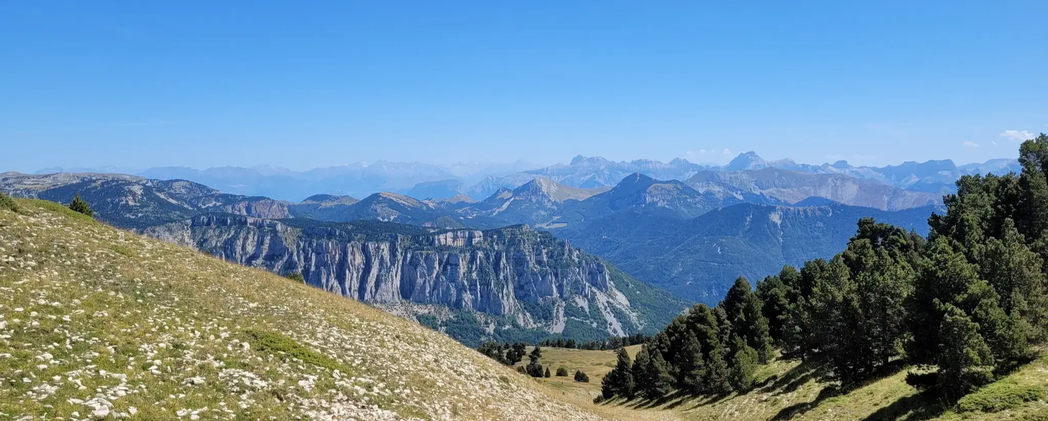
GR 91 - From the Vercors High Plateaux to Provence
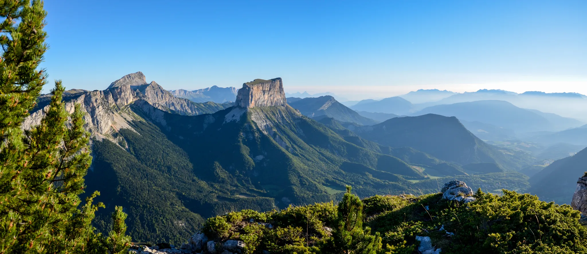
Grand Tour of the Vercors – first section
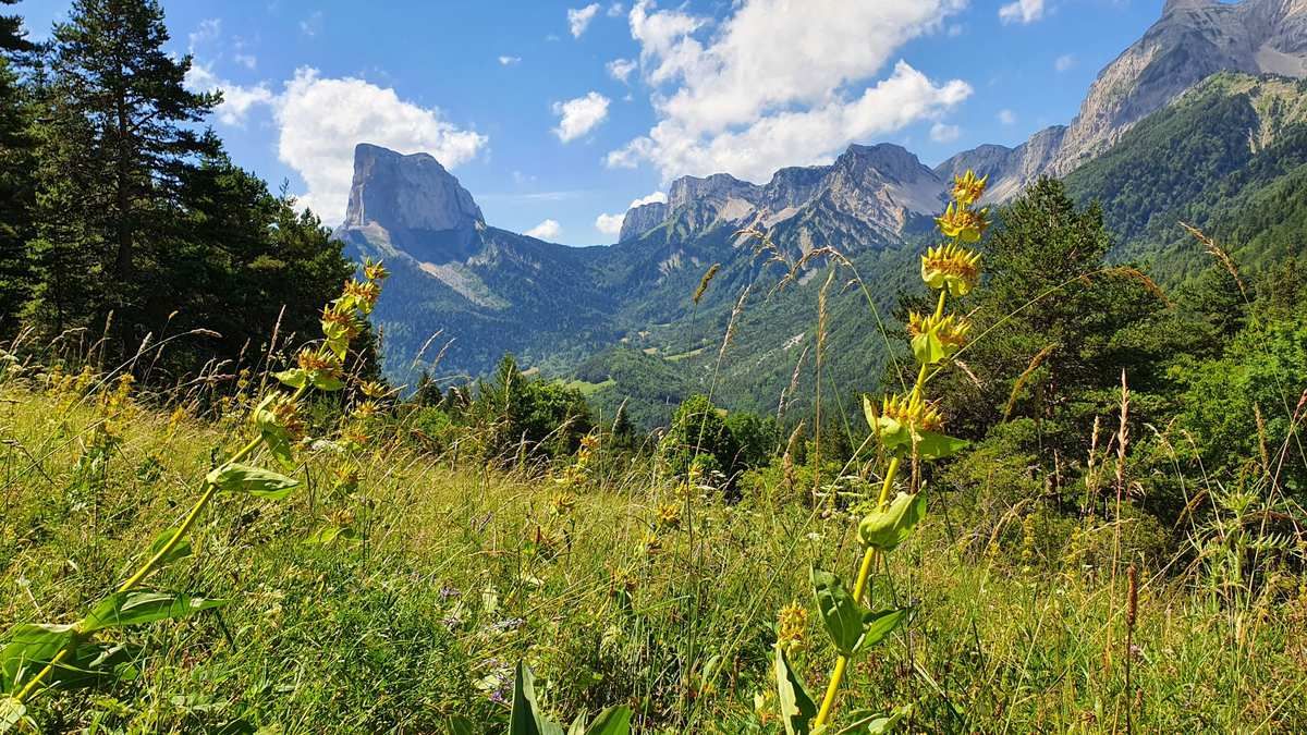
High altitude adventure — hiking across the high plateaus of the Vercors
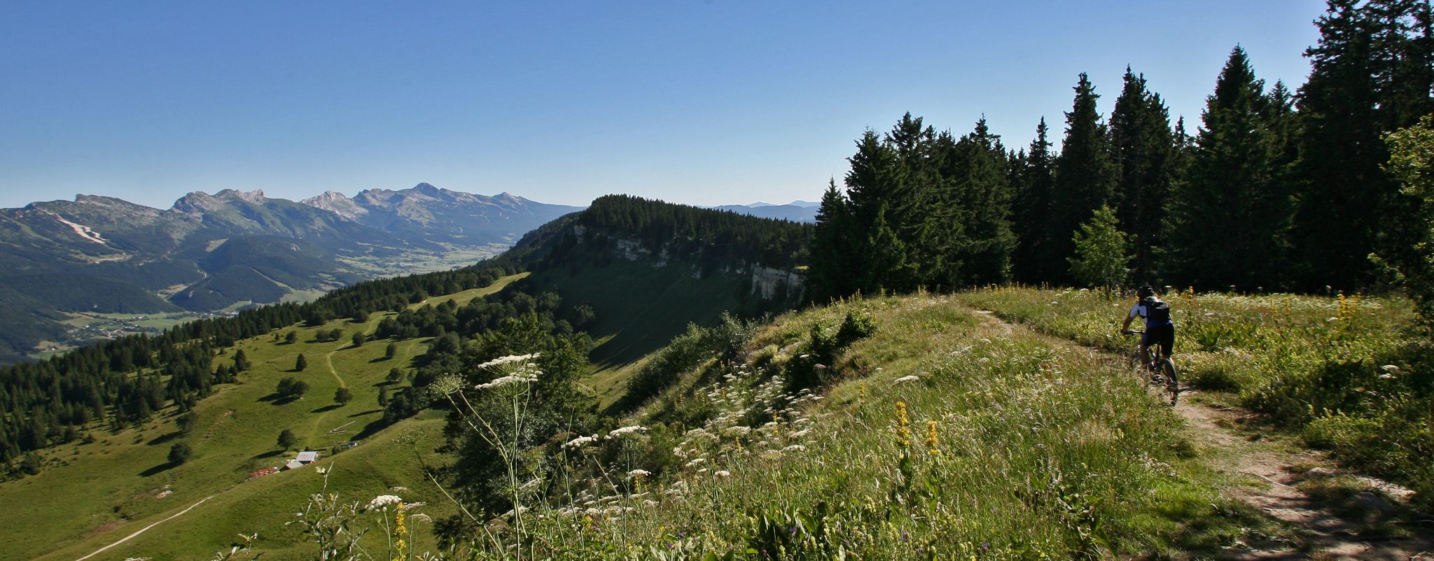
Legendary MTB routes in the bike paradise of Vercors Isère
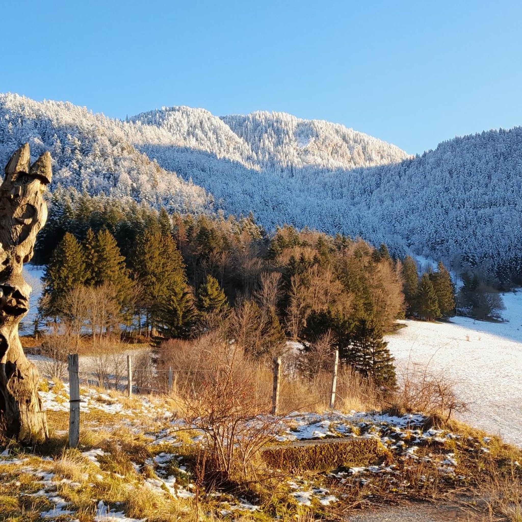
Cycling around Saint-Nizier-Du-Moucherotte
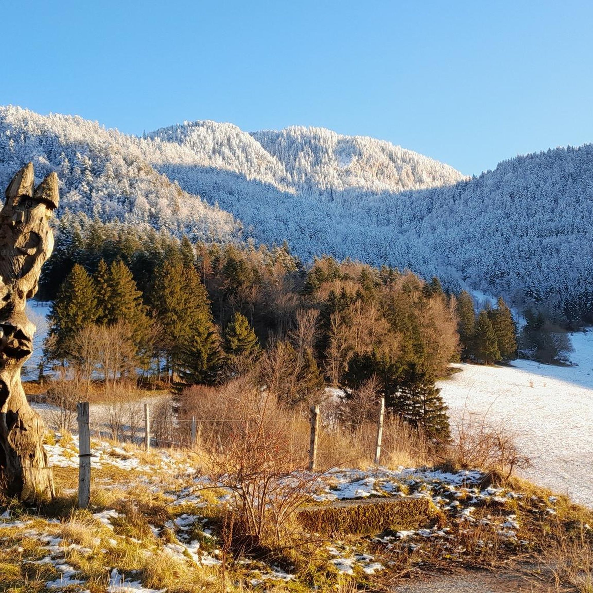
Hiking around Saint-Nizier-Du-Moucherotte
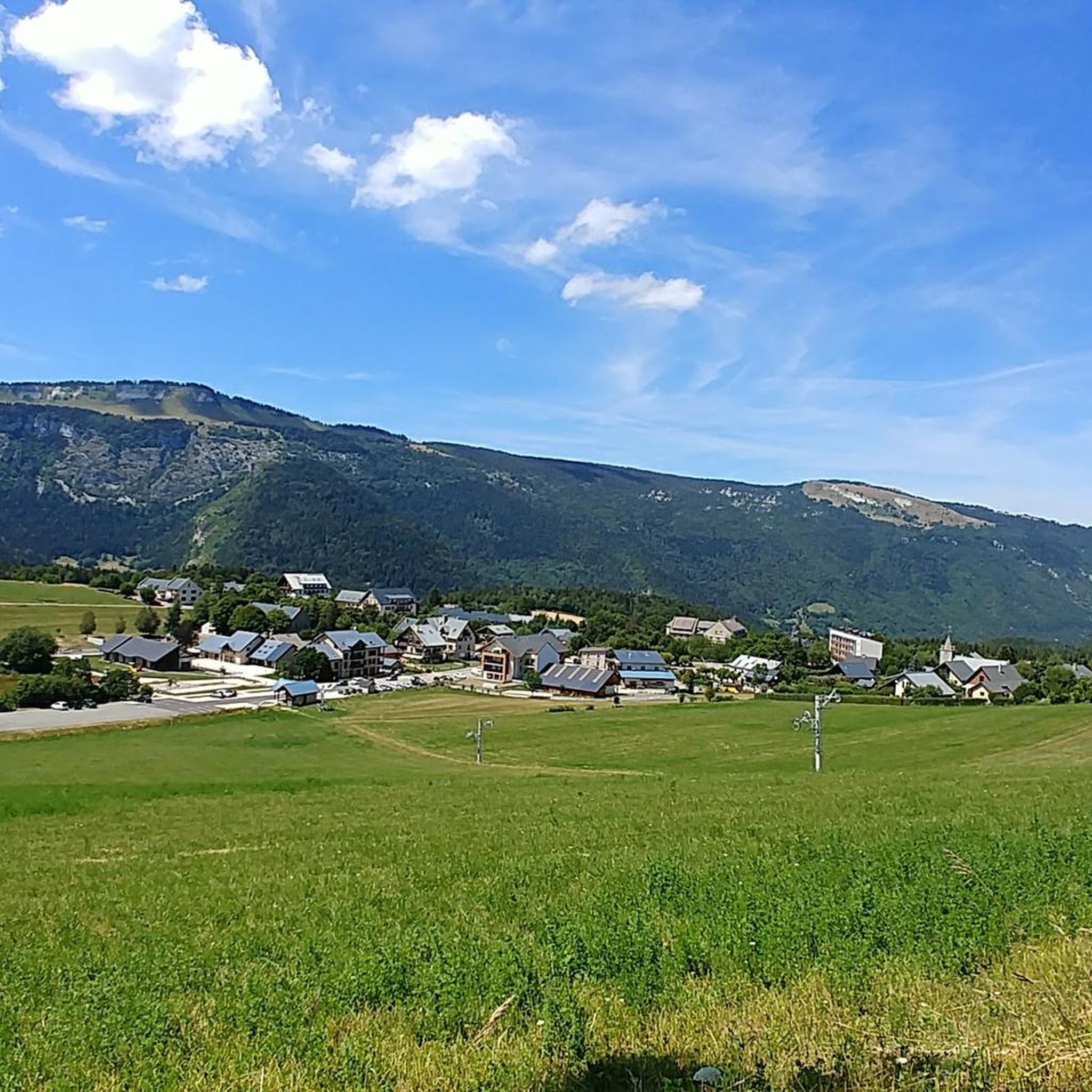
Running Trails around Saint-Nizier-Du-Moucherotte
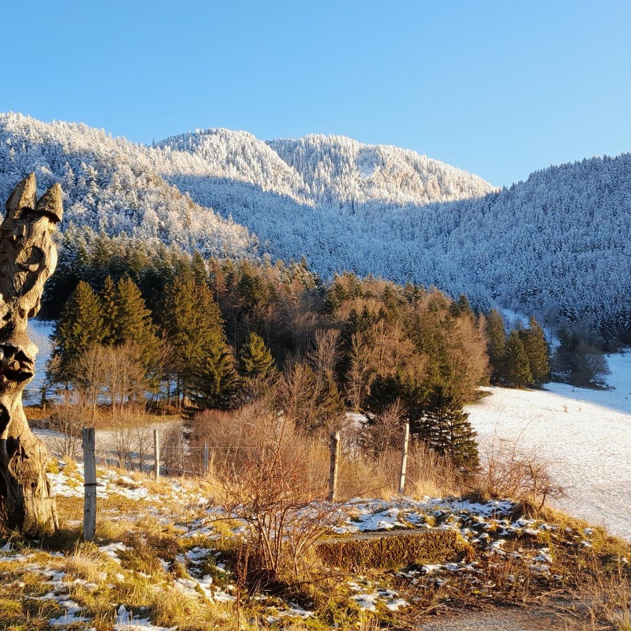
MTB Trails around Saint-Nizier-Du-Moucherotte
Mountain Hikes around Saint-Nizier-Du-Moucherotte
Gravel biking around Saint-Nizier-Du-Moucherotte
Other adventures around Saint-Nizier-Du-Moucherotte


Tips from the Community

Road immersed in nature.
8
0
One of the symbolic climbs of the Vercors. The road climbs through forests and rocky walls up to the pass, offering spectacular views of the Drôme valley. A very evocative climb, popular with cyclists, ideal for immersing yourself completely in the wild landscape of the Vercors.
8
0
Spectacular road carved into the rock in the heart of the Vercors. Vertical walls, numerous tunnels, and the Bourne stream accompany the route in a wild and evocative setting. One of the most scenic roads in the Vercors, not to be missed by bicycle.
9
0
🚴 Col du Rousset – Chamaloc side * Start: Chamaloc * Finish: Col du Rousset * Altitude: approx. 1,254 m * Length: approx. 11 km * Elevation gain: approx. 650 m * Average gradient: ~6% * Maximum gradients: around 9–10% * Surface: asphalted and generally in good condition
8
0

The col de la Croix Perrin, located at an altitude of 1218m on the border of the municipalities of Autrans-Méaudre en Vercors and Lans-en-Vercors, is a major site for forestry, hospitality, and history. Here you take the direction of the Espace Naturel Sensible de la Molière-Sornin. It is said that here, a certain Mr. Perrin had an unfortunate encounter with a bear, when they were still present in the Vercors.
0
0
Lans en Vercors is one of the main gateways to the Vercors Regional Natural Park, making this traditional village a family destination nestled in an accessible mountain.
0
0
The Via du Tram trail, from Grenoble to Saint-Nizier-du-Moucherotte, follows the historic route of the tramway line built in 1909. This path takes you on a discovery of the region's wonders and its rich history. From the Resistance and its partisans during World War II to the unique architecture of an old Olympic ski jump, you will visit, through fields, typical hamlets, and wooded valleys, environments with multiple points of interest. The trail's 1,200 meters of elevation gain will lead you to superb viewpoints.
0
0

This is a well-known spot for mushroom pickers. At the top of the pass, there is a very nice restaurant
0
0
Frequently Asked Questions
How many road cycling routes are available around Saint-Nizier-Du-Moucherotte?
There are over 300 road cycling routes available around Saint-Nizier-Du-Moucherotte, catering to various skill levels. This includes approximately 49 easy routes, 132 moderate routes, and 121 difficult routes, all within the stunning Vercors Regional Natural Park.
What is the typical terrain like for road cycling in this region?
Road cycling around Saint-Nizier-Du-Moucherotte is characterized by mountainous terrain with significant ascents and descents, as the village itself is perched at 1,100 meters. Cyclists can expect varied landscapes, from challenging climbs offering panoramic views over the Grenoble valley and the Belledonne Range, to more gradual paths across the Vercors Plateau.
When is the best time of year for road cycling around Saint-Nizier-Du-Moucherotte?
The best time for road cycling around Saint-Nizier-Du-Moucherotte is typically from late spring through early autumn (May to October). During these months, the weather is generally milder, and mountain passes are clear of snow, providing optimal conditions for enjoying the challenging climbs and scenic routes.
Are there road cycling routes suitable for beginners or families?
Yes, while the region is known for its challenging climbs, there are options for less experienced cyclists. The 'Via Vercors' is a gentler cycling route that offers a more accessible experience. You can also find around 49 easy routes listed, such as the Bon Repos Castle 🏰 – Étang de Haute-Jarrie loop from Pré Nouvel, which is a moderate 34 km trail.
What options are there for experienced road cyclists seeking a challenge?
Experienced road cyclists will find plenty of challenging routes, including demanding ascents that are part of the 'P'tites Routes du Soleil®'. Routes like the Lans-en-Vercors – Molière Plateau loop from Lans-en-Vercors offer significant elevation gain and stunning views, providing a rewarding experience for those looking for a difficult ride.
What scenic viewpoints can I expect to see while road cycling in the Vercors?
The region offers breathtaking panoramic views. From Saint-Nizier-Du-Moucherotte, you can see the Grenoble valley, the Belledonne, Chartreuse, Oisans, and Taillefer mountains, and even Mont Blanc on clear days. Specific viewpoints include La Molière Alpine Pasture and Panoramic View, which is often incorporated into routes.
Are there any historical or natural landmarks to explore along the routes?
Absolutely. Beyond the natural beauty of the Vercors Regional Natural Park, you can encounter landmarks such as the prominent peaks of The Moucherotte Summit and Les Trois Pucelles. The area also holds historical significance related to the Resistance during WWII, and you might spot the dilapidated Olympic ski jump from the 1968 Grenoble Winter Olympics.
Are there any circular road cycling routes available?
Yes, many road cycling routes in the area are designed as loops, allowing you to start and end in the same location. An example is the Bourne Gorge – Bourne Gorge loop from Lans-en-Vercors, a difficult 72.2 km path that navigates through the scenic Bourne Gorge.
Where can I find parking for road cycling routes in Saint-Nizier-Du-Moucherotte?
Saint-Nizier-Du-Moucherotte, being a peaceful village and a hub for outdoor activities, typically offers parking options within the village itself, especially near the main square or designated public parking areas. Many routes start directly from the village, making it a convenient base.
Is public transport an option to reach cycling starting points?
Saint-Nizier-Du-Moucherotte is accessible by public transport, particularly from Grenoble, which has good connections. Local bus services connect the village to surrounding areas, making it possible to reach various starting points for your road cycling adventures without a car.
What do other road cyclists enjoy most about the routes here?
The road cycling routes around Saint-Nizier-Du-Moucherotte are highly rated by the komoot community, with an average score of 4.4 stars from over 2,300 reviews. Cyclists frequently praise the challenging ascents, the expansive views over the Grenoble valley and the Alps, and the diverse landscapes of the Vercors Regional Natural Park.
Can you recommend a moderate road cycling route?
For a moderate challenge, consider the Clémencières Pass – Climb to the Col de Clémencières loop from Sassenage. This 24.6 km route involves a climb to the Clémencières Pass, offering a good workout with rewarding views without being overly strenuous.
Most popular routes around Saint-Nizier-Du-Moucherotte
Most popular attractions around Saint-Nizier-Du-Moucherotte

Get inspired with the komoot mobile app


Explore more
Browse the best Road cycling routes in other regions.
