The best road cycling routes around Bartholomä
4.5
(581)
7,195
riders
222
rides
Road cycling routes around Bartholomä traverse a landscape characterized by rolling hills and forested areas within the Swabian Alb region. The terrain includes gentle ascents and descents, with elevations typically under 200 meters. The area features a mix of open fields and dense woodlands, providing varied scenery for cyclists. Notable natural features include the Wental Felsenmeer, characterized by limestone formations, and the Brenztopf, a significant river source.
Best road cycling routes around Bartholomä
- The most popular road cycling route is Bartholomä Cycling Facility – Wental Rock Sea loop from Bartholomä, an easy 20.2 miles (32.6 km) trail that takes 1 hour 28 minutes to complete. This route explores Bartholomä Village and passes by the Wental Rock Sea.
- Another top favourite among local road cyclists is Wental Rock Sea – Landhotel Wental loop from Bartholomä, a moderate 29.1 miles (46.9 km) path. This route leads through the Wental Rock Sea area, offering views of unique limestone formations.
- Local road cyclists also love the Eyb spring – View of Weißenstein Castle loop from Kaltes Feld mit Hornberg, Galgenberg und Eierberg, a 24.3 miles (39.1 km) trail leading through varied landscapes, often completed in about 1 hour 45 minutes.
- Road cycling around Bartholomä is defined by rolling hills, forested sections, and open landscapes. The network offers options for different ability levels, from easy village loops to more challenging routes with greater elevation gain.
- The routes in Bartholomä are highly rated by the komoot community with an average score of 4.6 stars from over 400 reviews. More than 5000 road cyclists have used komoot to explore Bartholomä's varied terrain.
Last updated: October 8, 2026
4.4
(45)
277
riders
Moderate road ride. Good fitness required. Mostly well-paved surfaces and easy to ride.
5.0
(2)
26
riders
Moderate road ride. Good fitness required. Mostly well-paved surfaces and easy to ride.

23
riders
Moderate road ride. Good fitness required. Mostly well-paved surfaces and easy to ride.
4.0
(3)
22
riders
32.6km
01:28
280m
270m
Easy road ride. Great for any fitness level. Mostly well-paved surfaces and easy to ride.
3.0
(2)
30
riders
50.7km
02:16
380m
380m
Moderate road ride. Good fitness required. Some segments of this route may be unpaved and difficult to ride.
Get access to more routes and recommendations from other explorers.
Already have an account?
Our route recommendations are based on thousands of hikes, rides, and runs completed by other people on komoot.
Start today with a free account
Your next adventure awaits.

Tips from the Community

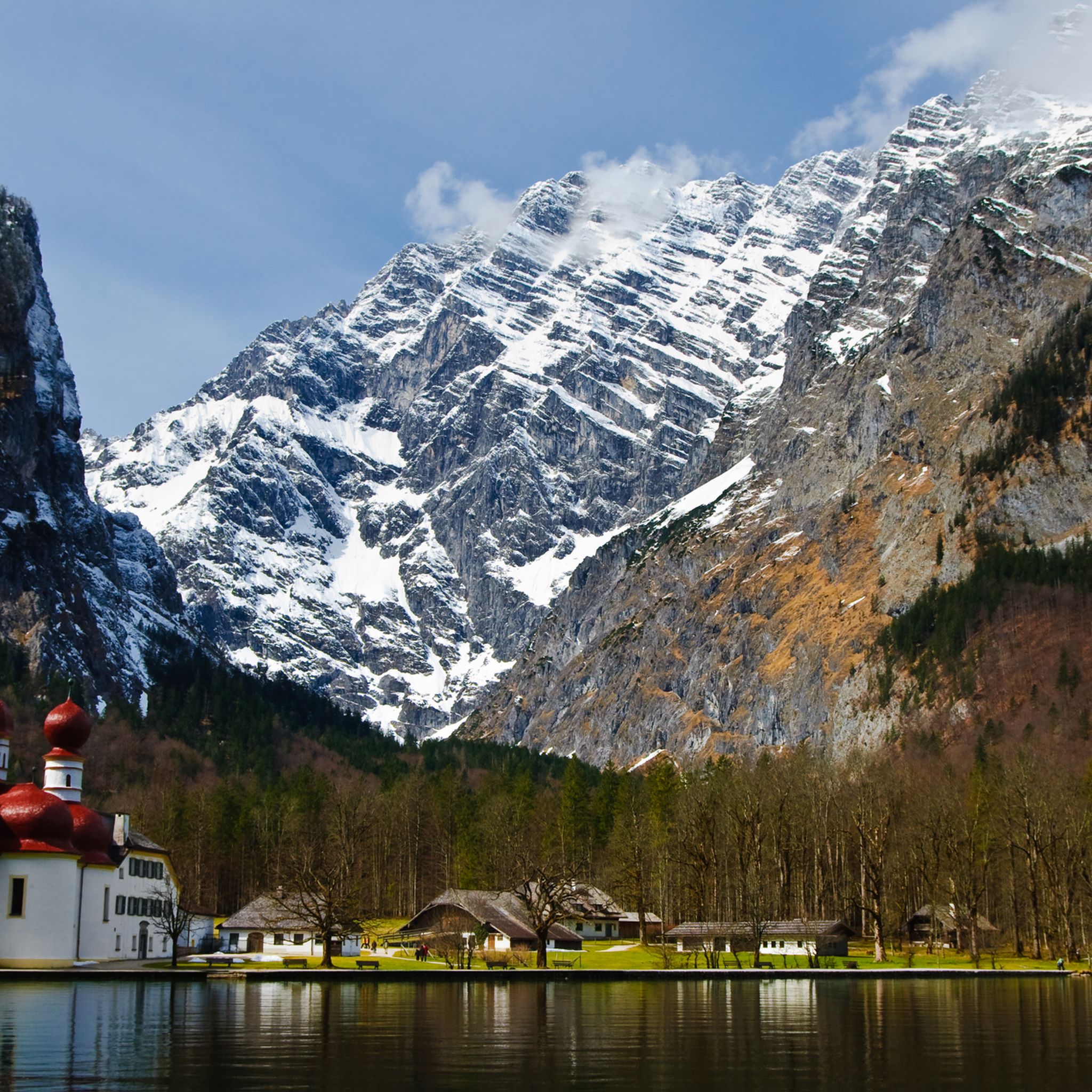
Don't be put off by the large parking lots on both sides. Hiking through this geological highlight is a great experience.
3
0
The Felsenmeer is very exciting and a geological highlight.
3
0
You don't see it quite as impressively from the cycle path, as you are standing directly underneath it. A very impressive building ensemble.
2
0
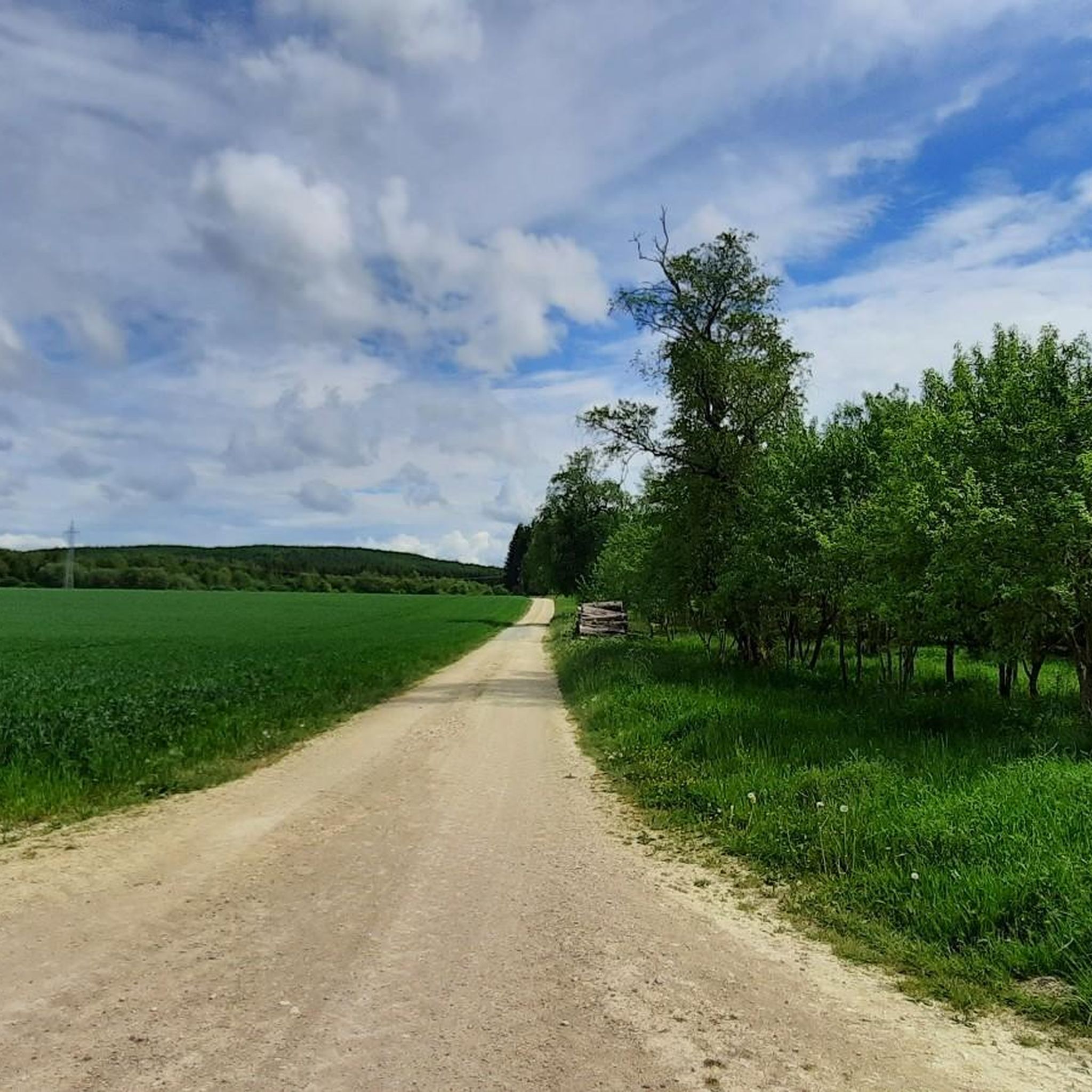
Beautiful and easy-to-ride cycle route with a gentle incline.
3
0

Wonderful rocks, paths, barbecue areas and everything else is very well maintained here. A must to explore the valley and the area here
0
0

Quiet cycle path along the water
1
0
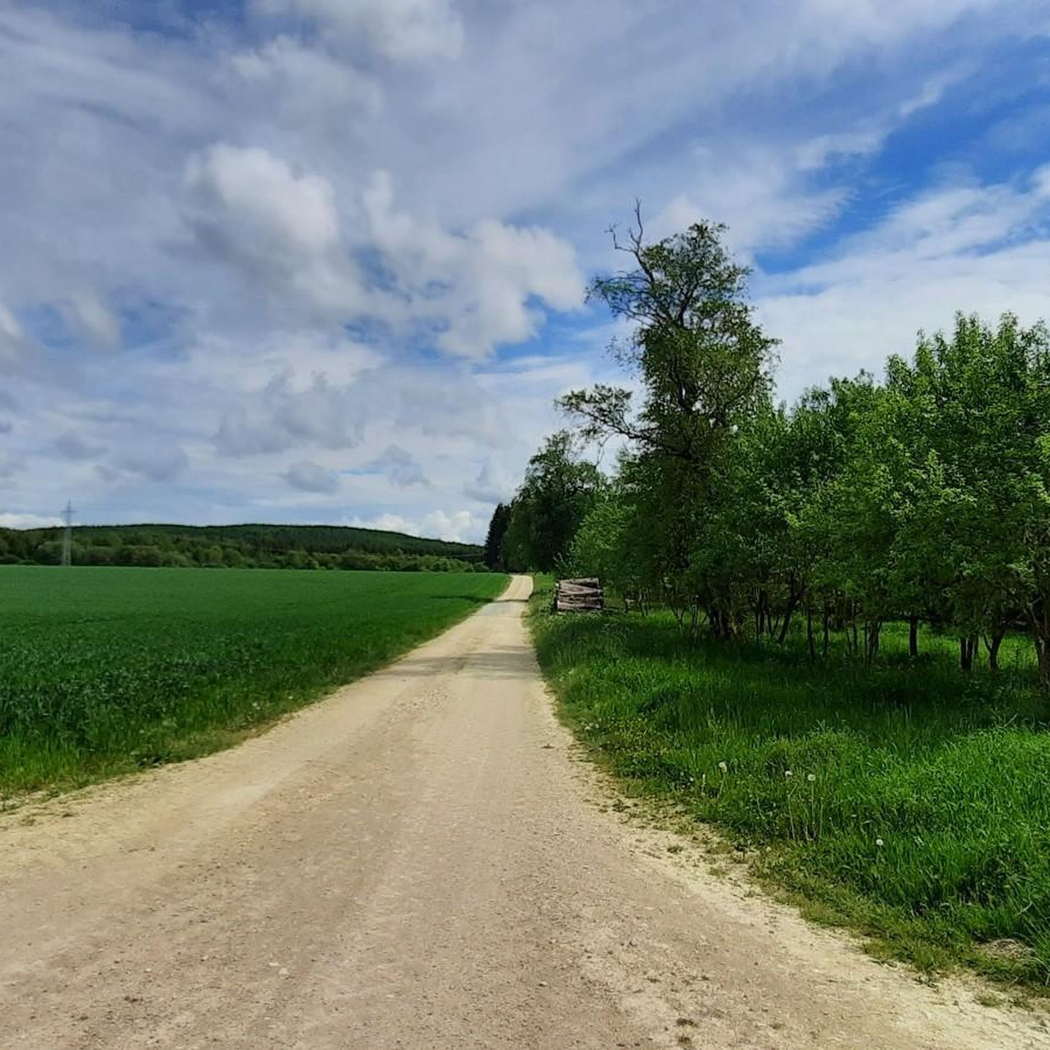
Cycle path between the fields
1
0

Frequently Asked Questions
What are the typical difficulty levels for road cycling routes around Bartholomä?
Road cycling routes around Bartholomä cater to various skill levels. You'll find 1 easy route, 10 moderate routes, and 2 more challenging routes. The terrain generally features rolling hills and forested areas, with elevations typically under 200 meters, making it suitable for most road cyclists.
How long are the road cycling routes in the Bartholomä area?
The routes vary in length, offering options for different preferences. For example, the Bartholomä Village – Wental Rock Sea loop from Bartholomä is about 20.3 miles (32.7 km), while the Wental Rock Sea – Furtlepass (630 m) loop from Bartholomä extends to approximately 47.5 miles (76.5 km).
Are there any beginner-friendly road cycling routes near Bartholomä?
Yes, there is an easy route available. The Bartholomä Village – Wental Rock Sea loop from Bartholomä is an excellent option for beginners, covering 20.3 miles (32.7 km) with manageable elevation changes, allowing you to explore the village and the unique Wental Rock Sea.
What are some challenging road cycling routes around Bartholomä?
For those seeking a challenge, there are 2 difficult routes in the area. Routes like the Wental Rock Sea – Furtlepass (630 m) loop from Bartholomä, which includes significant elevation gain over 47.5 miles (76.5 km), offer a more demanding experience.
What is the best season for road cycling in Bartholomä?
The Swabian Alb region, including Bartholomä, is generally best for road cycling from spring through autumn. During these seasons, the weather is typically mild, and the forested sections and open fields provide pleasant scenery. Summer offers warmer temperatures, while spring and autumn bring vibrant colors.
Are there scenic viewpoints or natural landmarks along the road cycling routes?
Absolutely. Many routes offer picturesque views and pass by notable landmarks. You can enjoy views of Furtlepass (630 m) or explore the unique geological formations of the Wental Rock Sea. Other highlights in the broader region include the Volkmarsberg Observation Tower and the Stuifen Summit.
What do other road cyclists enjoy the most about road cycling in Bartholomä?
The komoot community highly rates road cycling in Bartholomä, with an average score of 4.6 stars from over 400 reviews. Cyclists often praise the varied terrain, which includes rolling hills, forested sections, and open landscapes, as well as the well-maintained routes that connect charming villages and natural landmarks.
Are there any circular road cycling routes available?
Yes, all the featured routes are designed as loops, allowing you to start and end your ride in Bartholomä. Examples include the View of Weißenstein Castle – Furtlepass (630 m) loop from Bartholomä and the Wental Rock Sea – Landhotel Wental loop from Bartholomä.
What kind of landscape can I expect while road cycling around Bartholomä?
The landscape around Bartholomä is characteristic of the Swabian Alb, featuring a mix of rolling hills, dense forested areas, and open fields. You'll experience gentle ascents and descents, providing varied scenery throughout your ride. Routes often connect small villages and natural attractions.
Are there any specific attractions or points of interest to look out for on the routes?
Beyond the natural beauty, routes may pass by cultural or historical points. For instance, the View of Weißenstein Castle – Furtlepass (630 m) loop from Bartholomä offers views of Weißenstein Castle. Other regional highlights include the Reiterles Chapel and the Pilgrimage Church of St. Mary on Hohenrechberg.
How many road cycling routes are available in Bartholomä?
There are 13 road cycling routes documented around Bartholomä, offering a diverse selection for cyclists of all levels. These routes have been explored by over 5000 road cyclists using komoot.
Most popular routes around Bartholomä
Most popular attractions around Bartholomä

Get inspired with the komoot mobile app


Explore more
Browse the best Road cycling routes in other regions.
