The best walks and hikes around Saint-Genis-Les-Ollières
4.5
(1950)
16,550
hikers
753
hikes
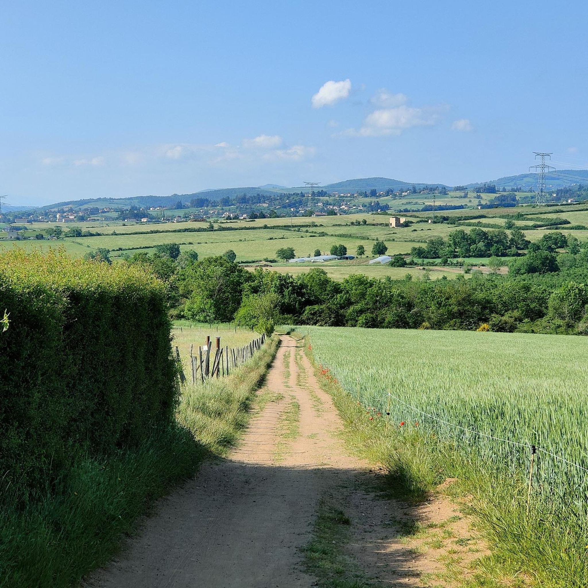
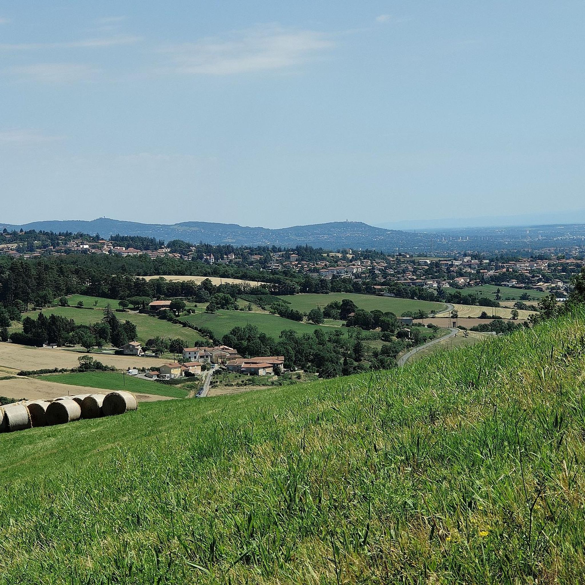
Hiking around Saint-Genis-Les-Ollières offers exploration of a hilly plateau morphology situated on the foothills of the Monts du Lyonnais. The area features diverse natural spaces, including 42 hectares of classified woodland and 90 hectares of natural areas. Three streams—the Ratier, the Ribes, and the Méginand—traverse the landscape, contributing to its varied terrain. This region provides a mix of gentle slopes and more challenging ascents for hikers.
Best hiking trails around Saint-Genis-Les-Ollières
- The most popular hiking route is Attention ! loop…
Last updated: July 5, 2026
4.4
(12)
53
hikers
7.75km
02:05
100m
100m
Moderate hike. Good fitness required. Easily-accessible paths. Suitable for all skill levels.
4.8
(4)
31
hikers
11.2km
03:00
120m
120m
Moderate hike. Good fitness required. Easily-accessible paths. Suitable for all skill levels.

Sign up for free
3.5
(2)
32
hikers
7.55km
02:03
100m
100m
Moderate hike. Good fitness required. Easily-accessible paths. Suitable for all skill levels.
12
hikers
5.62km
01:31
70m
70m
Easy hike. Great for any fitness level. Easily-accessible paths. Suitable for all skill levels.
4.0
(3)
6
hikers
17.3km
04:39
210m
210m
Moderate hike. Good fitness required. Easily-accessible paths. Suitable for all skill levels.
Get access to more routes and recommendations from other explorers.
Sign up for free
Already have an account?
Our route recommendations are based on thousands of hikes, rides, and runs completed by other people on komoot.
Start today with a free account
Your next adventure awaits.
Login or Signup

Tips from the Community

Beautiful and easy..in good weather
0
0

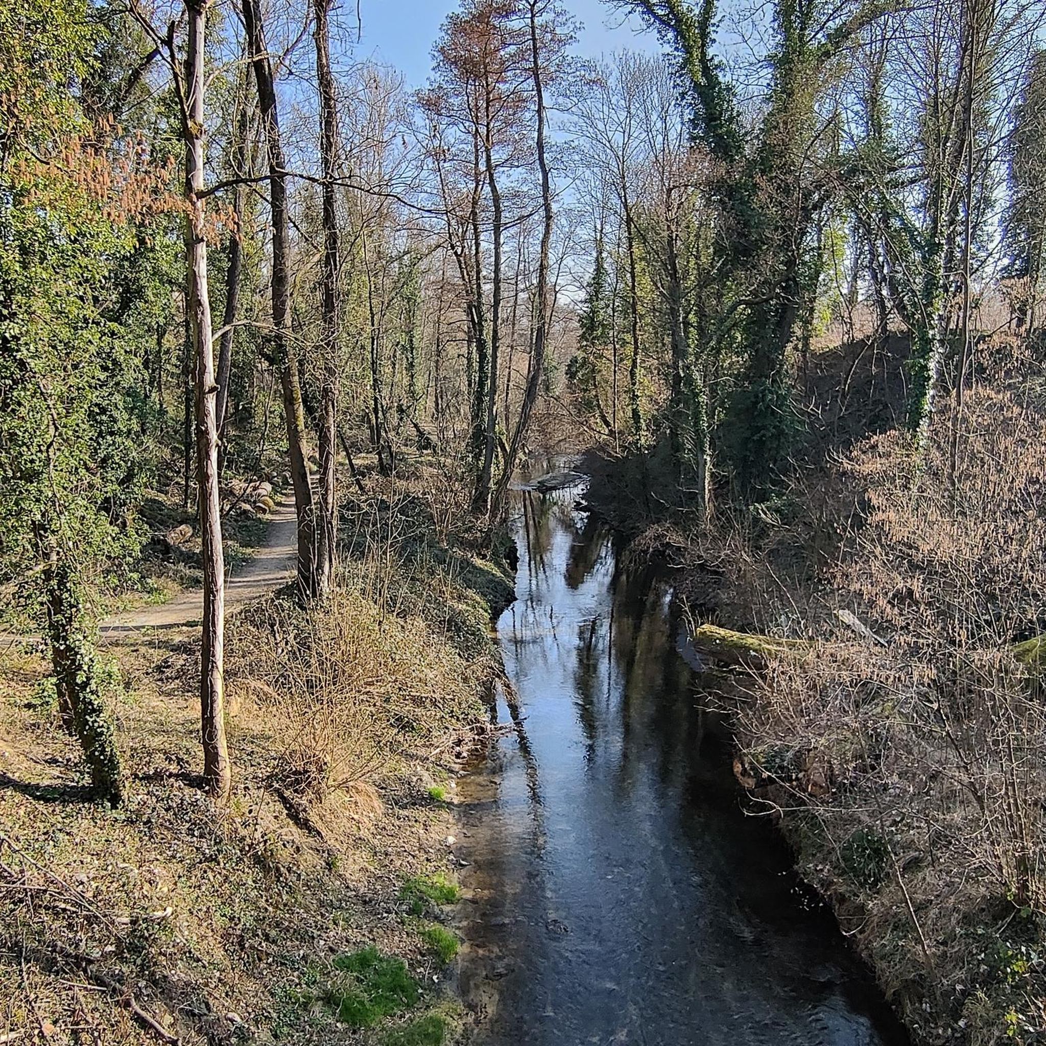
This thematic trail relates the close links between man and the river, based on the traces left by millers, bleachers and fishermen.
0
0
Lacroix-Laval is a natural space crisscrossed with paths, valleys, meadows, undergrowth. Views of the Château whose foundations date from the 12th century and of the vegetable garden.
0
0
Nice place, here we enjoy the calm and the sounds of nature (birds singing, rustling leaves in the trees...)
0
0

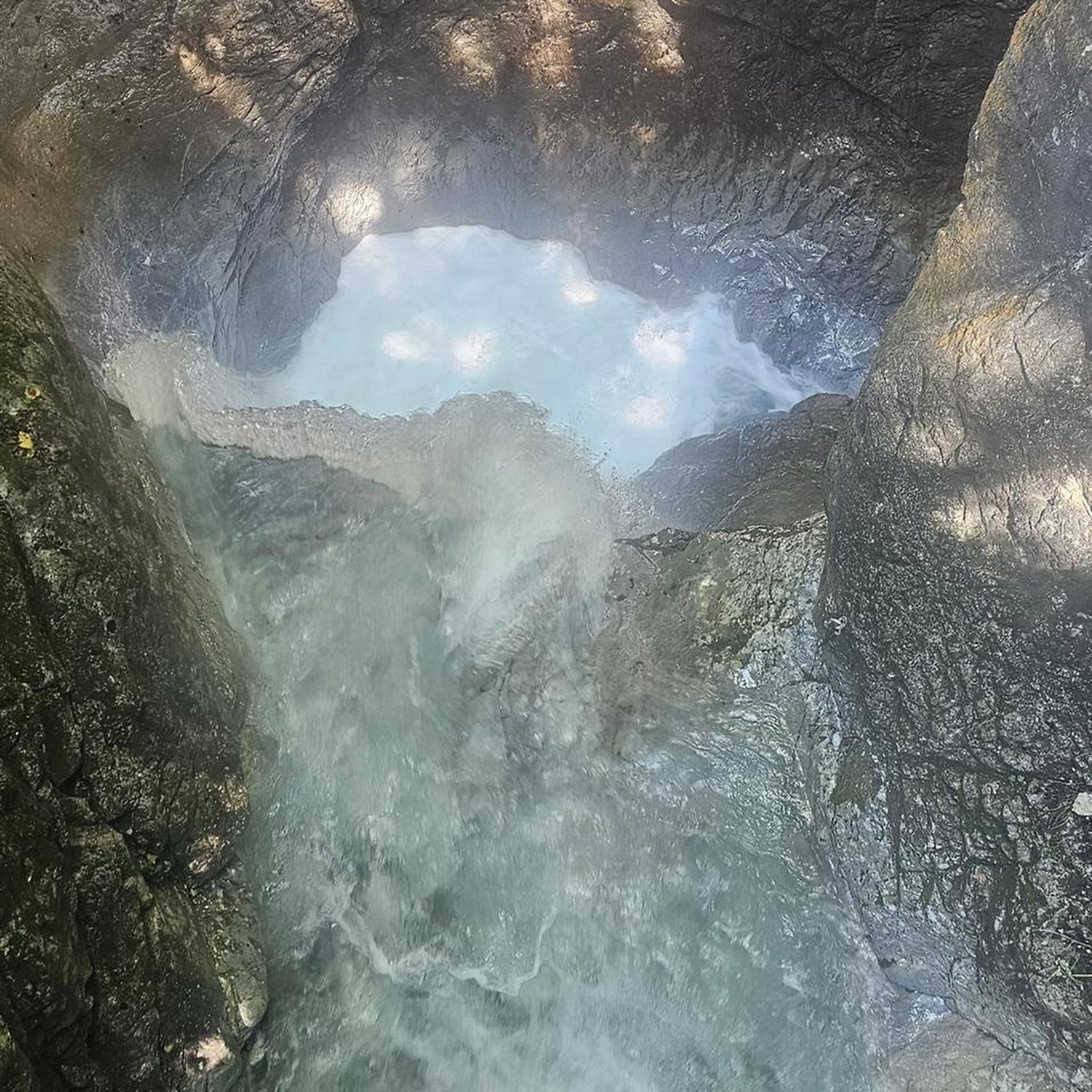
This path takes you through forests and natural springs, offering insight into the ecological and historical richness of the region.
0
0

Really nice mountain bike ride
1
0
Frequently Asked Questions
How many hiking trails are available around Saint-Genis-Les-Ollières?
There are over 770 hiking routes in the Saint-Genis-Les-Ollières area, catering to various skill levels. This includes nearly 400 easy trails, over 340 moderate routes, and about 35 more challenging options.
Are there easy hiking trails suitable for beginners or families?
Yes, Saint-Genis-Les-Ollières offers many easy trails perfect for beginners or families. For example, the Hiking loop from Craponne is an easy option. The region's hilly plateau also features leisurely strolls through lush woodlands, such as the 'Sentier du Bois des Roches' mentioned in local research, providing gentle slopes and scenic views.
What kind of natural features can I expect to see on hikes in this region?
The area is rich in natural beauty, characterized by a hilly plateau and diverse natural spaces. You'll encounter 42 hectares of classified woodland and 90 hectares of natural areas. Three streams—the Ratier, the Ribes, and the Méginand—traverse the landscape, offering picturesque scenes with educational ponds and unique rock formations. The foothills of the Monts du Lyonnais provide varied terrain and scenic views.
Are there any circular hiking routes in Saint-Genis-Les-Ollières?
Yes, many routes in the area are circular. A popular moderate circular trail is the Attention ! loop from Saint-Genis-les-Ollières, which takes about 2 hours to complete. Another option is the Attention ! – Saint Genis les Ollieres loop from Saint-Genis-les-Ollières, leading through woodlands and open landscapes.
What do other hikers enjoy most about the trails in Saint-Genis-Les-Ollières?
The trails in Saint-Genis-Les-Ollières are highly rated by the komoot community, with an average score of 4.5 stars from over 1,700 reviews. Hikers often praise the varied terrain, the peaceful woodlands, and the well-maintained paths that offer a mix of gentle and more challenging ascents.
Are there any trails that offer panoramic views?
Yes, the hilly topography of Saint-Genis-Les-Ollières provides several trails with spectacular panoramic views. From higher points, you can enjoy breathtaking outlooks towards Lyon in the distance and the Rhône valley. The 'Sentier des Crêtes' is noted for its steep climbs and rewarding vistas.
Can I hike along rivers or streams in the area?
Absolutely. The village is bordered by three streams: the Ratier, the Ribes, and the Méginand. Trails like 'Les Trois ruisseaux à Saint-Genis-les-Ollières' allow you to discover educational ponds and walk under large trees along these waterways. The Glade by the river – Chemin de la source loop from Tassin-la-Demi-Lune also follows the course of local streams.
What are some notable landmarks or attractions near the hiking routes?
While hiking, you can explore several interesting points. The Col de la Luère and Malval Pass (732 m) are nearby mountain passes. For scenic views, consider visiting Mont Thou or Mount Cindre. The Plateau de Méginand is also a sensitive natural area with unique flora and fauna, which you can learn about via information terminals along the Ribes stream.
What is the best time of year to go hiking in Saint-Genis-Les-Ollières?
The diverse landscapes of Saint-Genis-Les-Ollières make it suitable for hiking across multiple seasons. Spring and autumn offer pleasant temperatures and vibrant scenery, with colorful fields and fragrant air, as described by the 'Lavender Trail'. Summer is also enjoyable, especially in the shaded woodlands, while winter can provide a different, serene experience, though conditions may vary.
Are there any longer, more challenging trails for experienced hikers?
Yes, for experienced hikers seeking more demanding itineraries, the region offers trails with steep climbs. The 'Sentier des Crêtes' is an example of a route that features challenging ascents and rewards hikers with spectacular views over the Rhône valley from its summit.
Are there opportunities for combining hiking with an overnight stay?
Some trails in the broader Monts du Lyonnais area, such as the 'Sentier du Mont Pilat', offer the option to combine hiking with an overnight stay in a comfortable gîte or a wilderness refuge. This allows for a deeper immersion in the natural surroundings and a blend of physical activity with local cultural exploration.
What kind of wildlife might I encounter on the trails?
The rich flora and fauna of the area mean you might encounter a diverse range of wildlife. Hikers have the chance to spot deer, wild boar, and various birds of prey, especially in the more secluded woodland and natural areas.
Most popular routes around Saint-Genis-Les-Ollières
Most popular attractions around Saint-Genis-Les-Ollières

Get inspired with the komoot mobile app


Explore more
Browse the best Hikes in other regions.
