The best MTB trails around Charbonnières-Les-Bains
4.2
(1370)
6,166
riders
15
rides
Mountain bike trails Charbonnières-Les-Bains are set within the diverse natural landscapes at the foothills of the Monts du Lyonnais. The area features extensive wooded valleys, including Bois de Serres and Bois de la Lune, which provide shaded routes. Streams like the Ruisseau du Méginand carve through the terrain, adding to the scenic beauty and varied features for mountain biking. This topographical diversity offers both gentle slopes and more challenging ascents and descents.
Best mountain bike trails around Charbonnières-Les-Bains
- The most…
Last updated: July 6, 2026
4.6
(28)
82
riders
36.2km
03:31
870m
870m
Hard mountain bike ride. Good fitness required. Advanced riding skills necessary. Some portions of the route may require you to push your bike.
4.1
(15)
87
riders
44.7km
03:53
960m
960m
Hard mountain bike ride. Very good fitness required. Advanced riding skills necessary.

Sign up for free
3.5
(2)
33
riders
Hard mountain bike ride. Very good fitness required. Advanced riding skills necessary. Some portions of the route may require you to push your bike.
4.6
(5)
170
riders
44.3km
04:12
1,130m
1,130m
Hard mountain bike ride. Very good fitness required. Advanced riding skills necessary. Some portions of the route may require you to push your bike.
4.0
(7)
10
riders
29.6km
02:25
440m
440m
Moderate mountain bike ride. Good fitness required. Suitable for all skill levels.
Get access to more routes and recommendations from other explorers.
Sign up for free
Already have an account?
Our route recommendations are based on thousands of hikes, rides, and runs completed by other people on komoot.
Start today with a free account
Your next adventure awaits.
Login or Signup
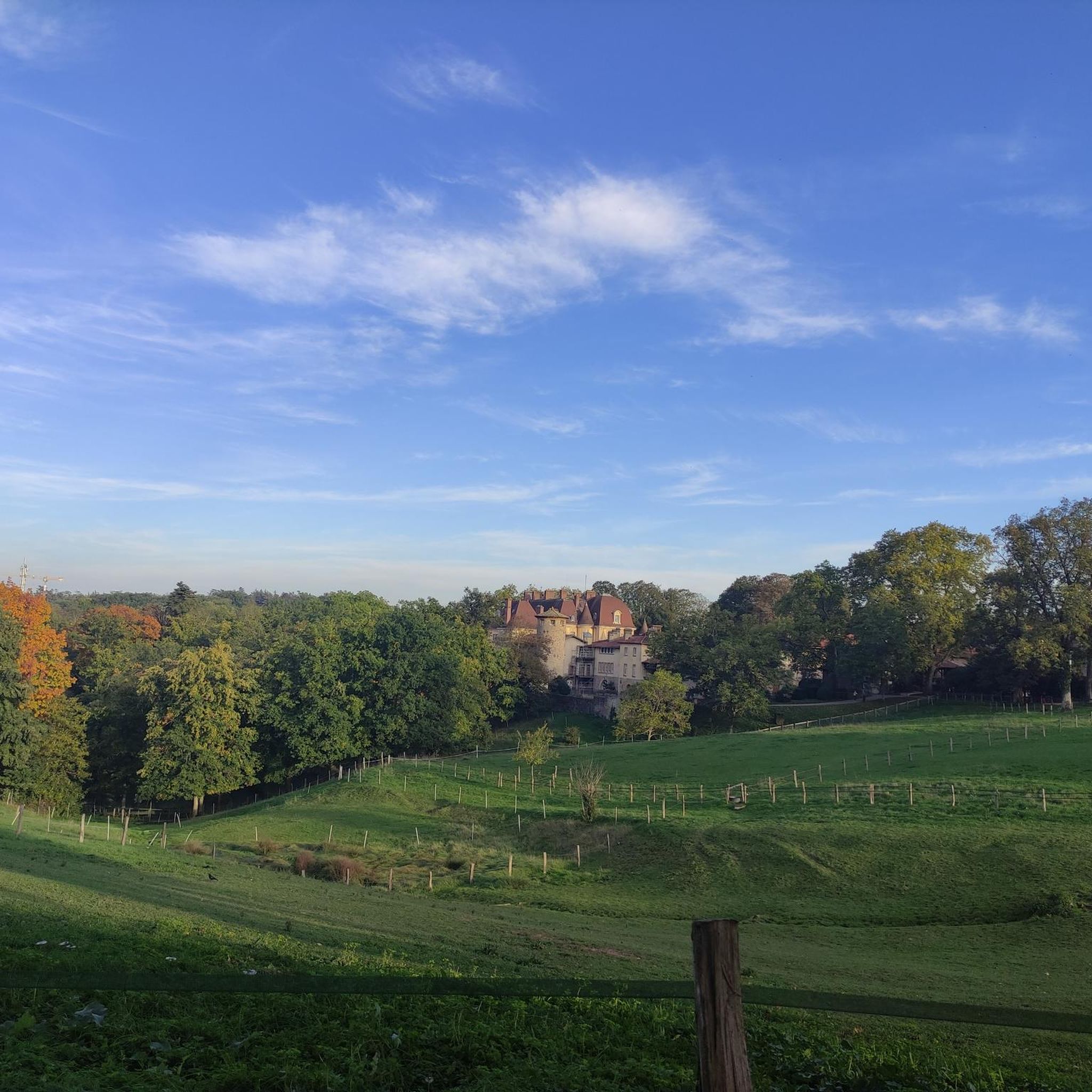
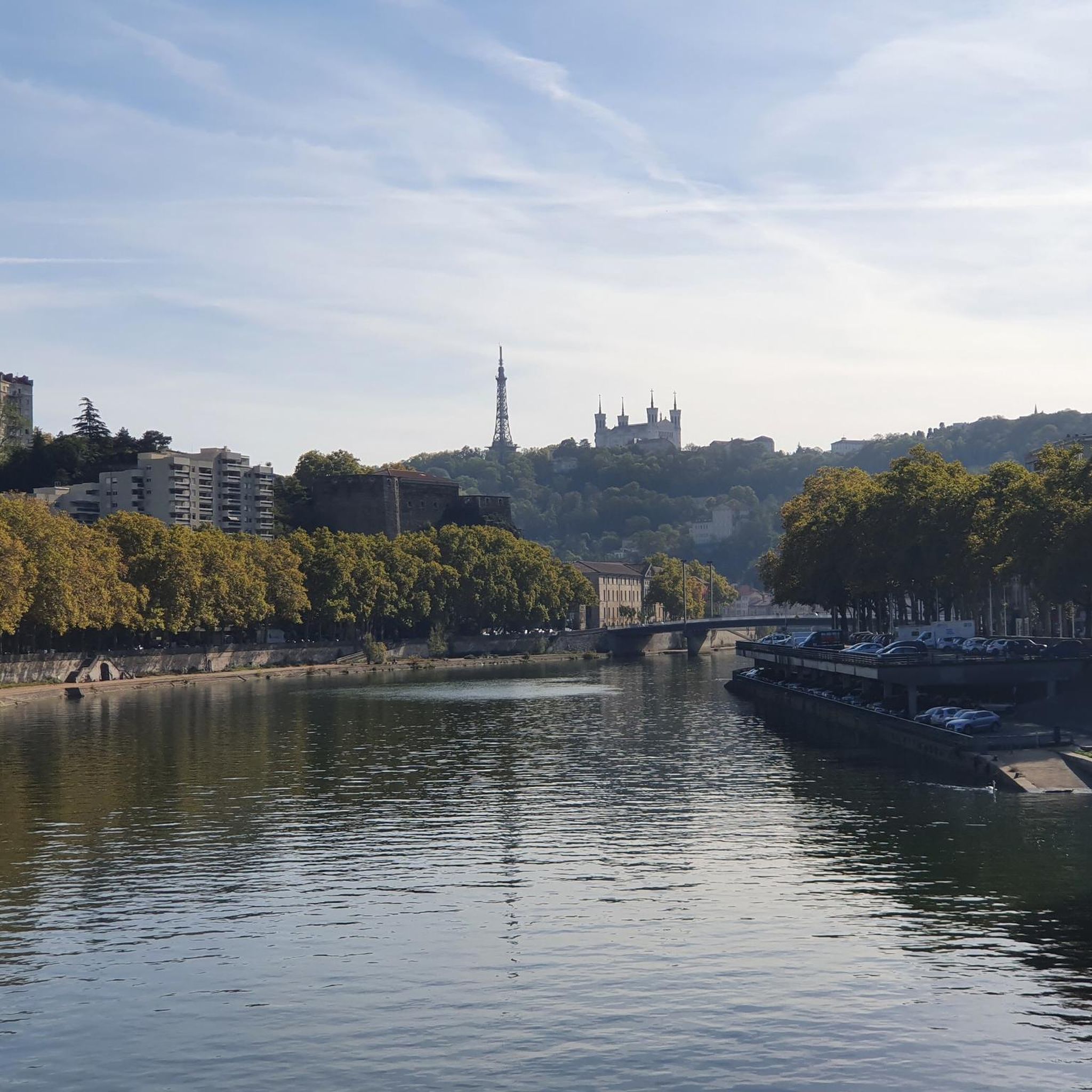
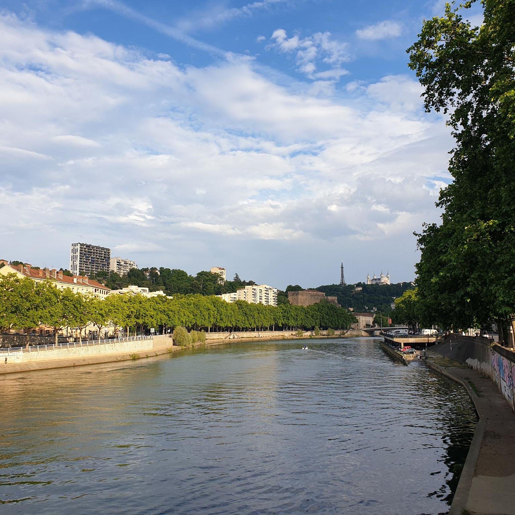

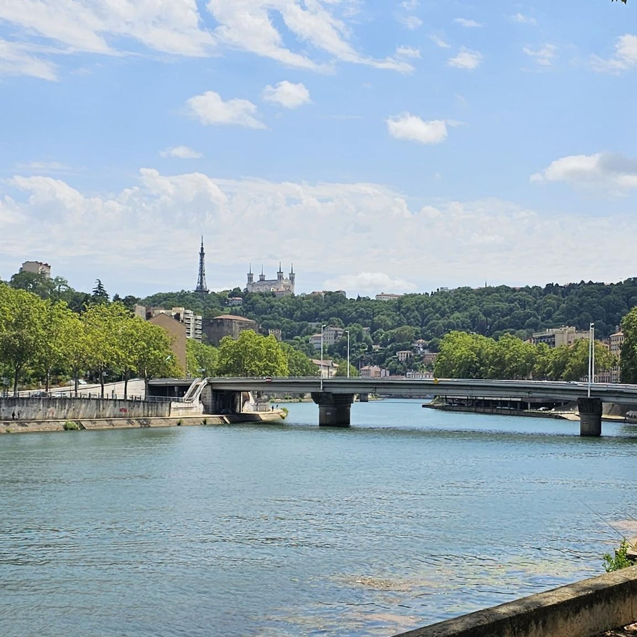
Tips from the Community

The path is not always easy, especially uphill. Quite rough.
0
0

Very nice the 2 tracks made by the Digdesmonts association
0
0

Please note: the restaurant is no longer available! It's best to plan ahead and bring your own supplies.
0
0

depending on the weather we can be treated to a sea of clouds
0
0

Departure of the two tracks (the commu and the slabs) built by the association dig des monts. The one on the right (the commu) is more rolling, with curved turns and drops. The one on the left, the slabs, is more technical. Do not start without looking at the track a first time if you are a beginner!
0
0
2 DH trails with a view of Mont Blanc, just great with an entry and exit door!
0
0

As you climb the challenging Col de la Croix du Ban, you’ll be rewarded with breathtaking panoramic views of the city of Lyon. This iconic vantage point offers stunning views of the city’s skyline, with its historic buildings, modern skyscrapers, and the confluence of the Rhone and Saone rivers.
0
0

The Col de Malval, in the Monts du Lyonnais, rises to an altitude of 732 metres. Even though the climb is mainly through forest, a few clearings allow you to enjoy the views of Lyon and the Alps.
1
0
Frequently Asked Questions
How many mountain bike trails are available around Charbonnières-Les-Bains?
There are over 360 mountain bike trails in the Charbonnières-Les-Bains area, catering to various skill levels. This includes approximately 80 easy routes, 190 moderate routes, and 90 difficult routes.
What types of terrain can I expect on the mountain bike trails in Charbonnières-Les-Bains?
The trails in Charbonnières-Les-Bains offer diverse terrain, from extensive wooded valleys like the Bois de Serres and Bois de la Lune, providing shaded routes, to the varied topography of the Monts du Lyonnais foothills. You'll encounter both gentle slopes and more challenging ascents and descents, often alongside streams such as the Ruisseau du Méginand.
Are there any easy or family-friendly mountain bike trails in Charbonnières-Les-Bains?
Yes, Charbonnières-Les-Bains offers around 80 easy mountain bike routes suitable for beginners or families. These trails typically feature minimal elevation gain and are designed for a more relaxed experience. While specific family-friendly routes aren't highlighted in the data, the easy routes are a great starting point.
What are some challenging mountain bike trails in the area?
For experienced riders seeking a challenge, there are approximately 90 difficult routes. One such route is the Malval Pass – Col de la Croix du Ban loop from Casino-Lacroix-Laval, which covers 45.6 km with over 1,100 meters of elevation gain, typically taking around 4 hours 15 minutes to complete.
What do other mountain bikers say about the trails in Charbonnières-Les-Bains?
The mountain bike trails in Charbonnières-Les-Bains are highly rated by the komoot community, with an average score of 4.3 stars from over 1,600 reviews. Riders often praise the diverse natural landscapes, the network of well-maintained trails, and the blend of wooded valleys and challenging ascents.
Are there any shorter mountain bike routes available, perhaps under 3 hours?
Yes, many of the 360+ routes in the area can be completed in under 3 hours, especially among the 80 easy and 190 moderate trails. For example, the Serres Wood – viaduct climbing site loop from Tassin is a moderate 28.9 km path that typically takes around 2 hours 11 minutes.
What natural attractions or landmarks can I see along the mountain bike trails?
While riding, you can explore various natural features such as the extensive Bois de Serres and Bois de la Lune forests. For specific points of interest, consider routes that pass near Lacroix-Laval Park or offer views of the Monts du Lyonnais. You might also encounter streams like the Ruisseau du Méginand, adding to the scenic beauty.
Is it possible to access mountain bike trails using public transport?
Charbonnières-Les-Bains is located near Lyon, and efforts are being made to improve cycling infrastructure, including planned bike paths that will enhance access to natural areas. While direct public transport links to specific trailheads might vary, the region's proximity to urban centers suggests some accessibility. It's advisable to check local public transport options to specific starting points like Casino-Lacroix-Laval or Tassin.
Where can I find parking for mountain biking near Charbonnières-Les-Bains?
Many popular routes, such as those starting from Casino-Lacroix-Laval or Tassin, likely have designated parking areas nearby. Given the popularity of outdoor activities, you can generally find parking at common starting points for trails. Always check local signage for specific parking regulations.
What is the best season for mountain biking in Charbonnières-Les-Bains?
The region's wooded valleys provide shaded trails, making spring, summer, and autumn pleasant for riding. The diverse terrain means trails can be enjoyed across different seasons, though checking local weather conditions is always recommended, especially after heavy rain, which might affect trail surfaces.
Are there any circular mountain bike routes in Charbonnières-Les-Bains?
Yes, many of the routes in Charbonnières-Les-Bains are designed as loops, allowing you to start and end at the same point. Examples include the Single fendard – Serres Wood loop from Casino-Lacroix-Laval and the Malval Pass – Col de la Croix du Ban loop from Tassin.
Are dogs allowed on the mountain bike trails?
While the region is rich in natural areas like the Bois de Serres, which are home to diverse wildlife, specific regulations regarding dogs on mountain bike trails can vary. It's generally recommended to keep dogs on a leash to protect local wildlife and ensure the safety of other trail users. Always check local park or forest regulations before heading out with your dog.
Most popular routes around Charbonnières-Les-Bains
Most popular attractions around Charbonnières-Les-Bains

Get inspired with the komoot mobile app


Explore more
Browse the best MTB trails in other regions.
