The best walks and hikes around La Tour-De-Salvagny
4.4
(1619)
10,167
hikers
16
hikes
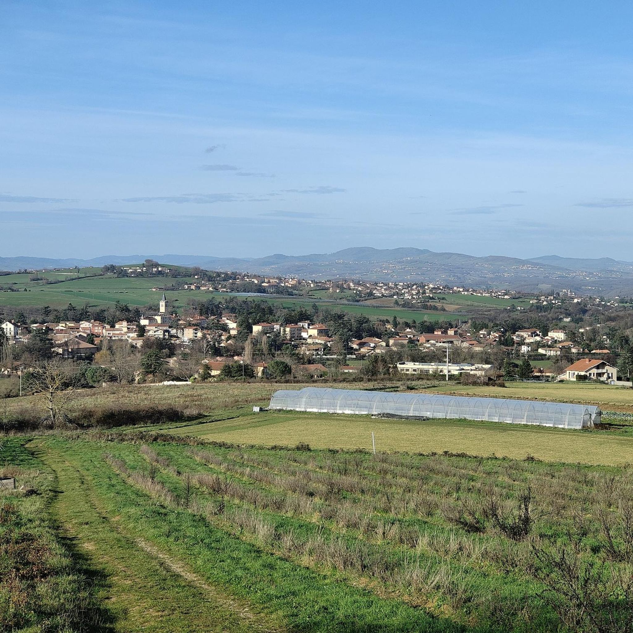
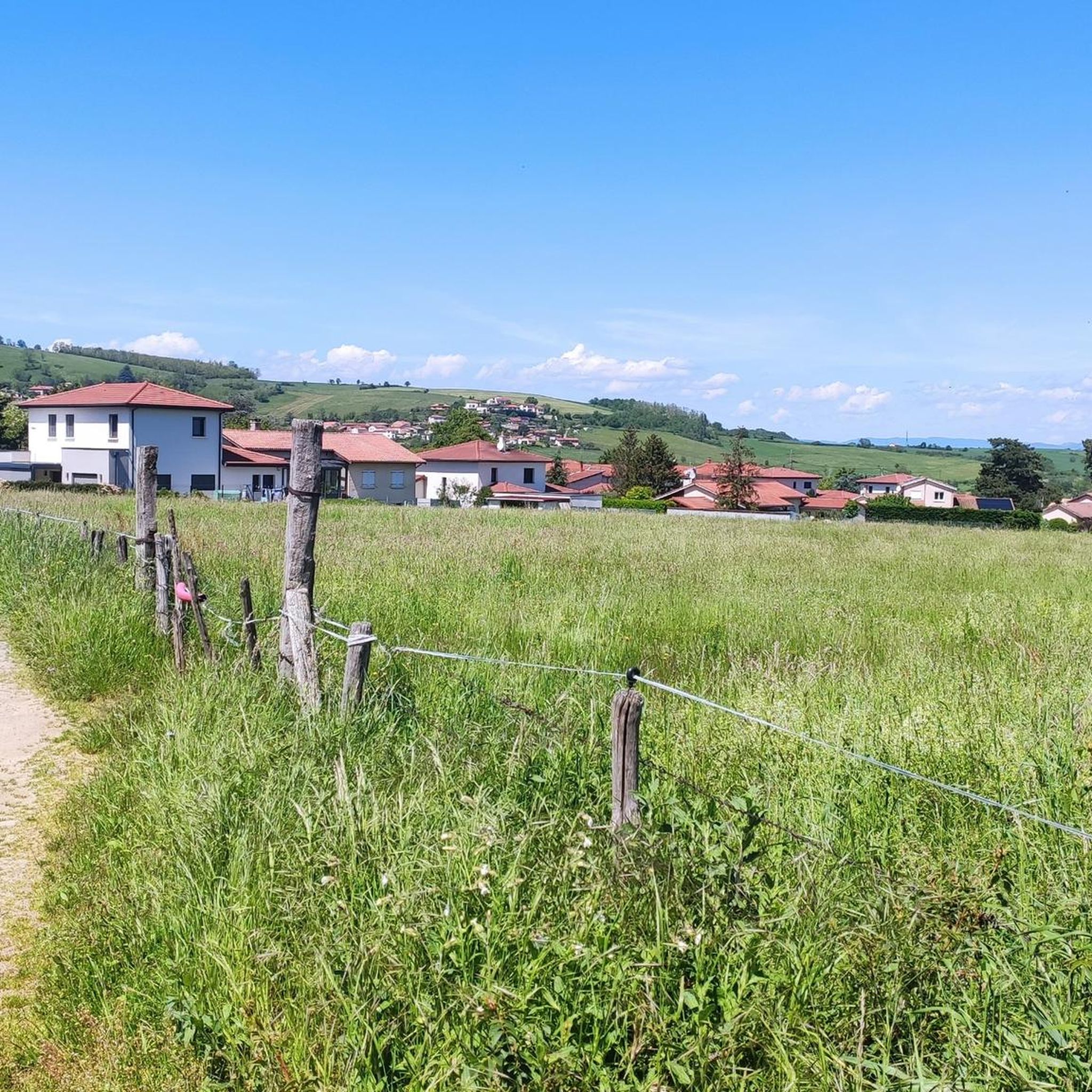
Hiking around La Tour-De-Salvagny offers access to a landscape characterized by gently rolling hills and extensive green terrain. The region features numerous forests, wooded areas, and agricultural lands, providing varied topography. Situated at the northern edge of the Coteaux du Lyonnais, it acts as a gateway to the Beaujolais region. Two-thirds of its territory is classified as natural and agricultural land, offering diverse natural features for exploration.
Best hiking trails around La Tour-De-Salvagny
- The most popular hiking route is Chemin…
Last updated: July 9, 2026
4.6
(7)
42
hikers
8.83km
02:22
110m
110m
Moderate hike. Good fitness required. Easily-accessible paths. Suitable for all skill levels.
4.6
(9)
28
hikers
Moderate hike. Good fitness required. Easily-accessible paths. Suitable for all skill levels.

Sign up for free
4.0
(2)
5
hikers
12.5km
03:29
240m
240m
Moderate hike. Good fitness required. Easily-accessible paths. Suitable for all skill levels.
4.5
(2)
7
hikers
7.98km
02:11
120m
120m
Moderate hike. Good fitness required. Easily-accessible paths. Suitable for all skill levels.
4.0
(2)
5
hikers
Hard hike. Very good fitness required. Easily-accessible paths. Suitable for all skill levels.
Get access to more routes and recommendations from other explorers.
Sign up for free
Already have an account?
Our route recommendations are based on thousands of hikes, rides, and runs completed by other people on komoot.
Start today with a free account
Your next adventure awaits.
Login or Signup

Tips from the Community

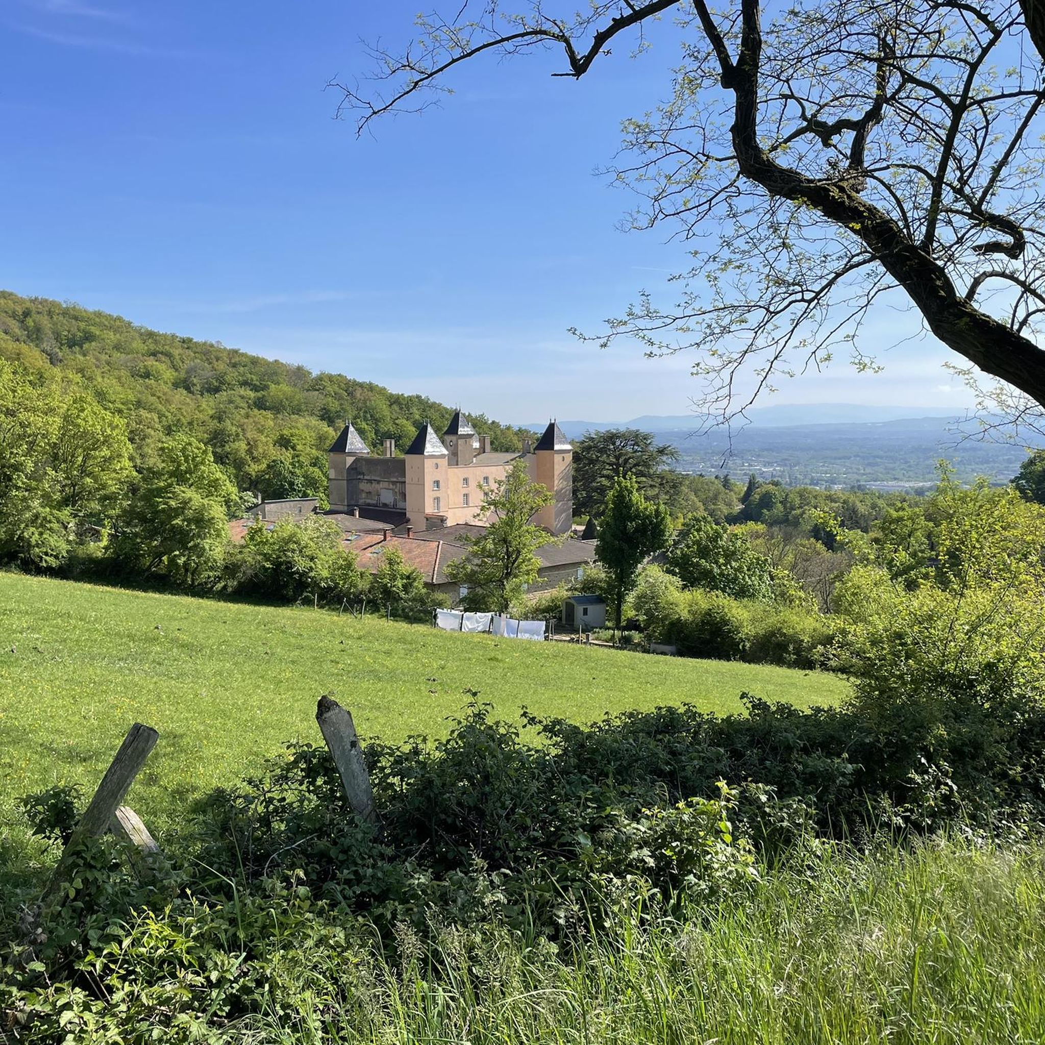
Built between 1883 and 1886, Fort du Paillet was part of the fortified belt of Lyon. This well-preserved site housed up to 400 soldiers and controlled the strategic routes to Paris. Decommissioned in 1899, it was an internment center during the Second World War. Today, a trail allows you to discover its 35 hexagonal markers and its rich military past. A place combining history and nature, perfect for a break on your trail or hike.
0
0

Hidden in the vegetation at the side of the road. There are two benches.
0
0

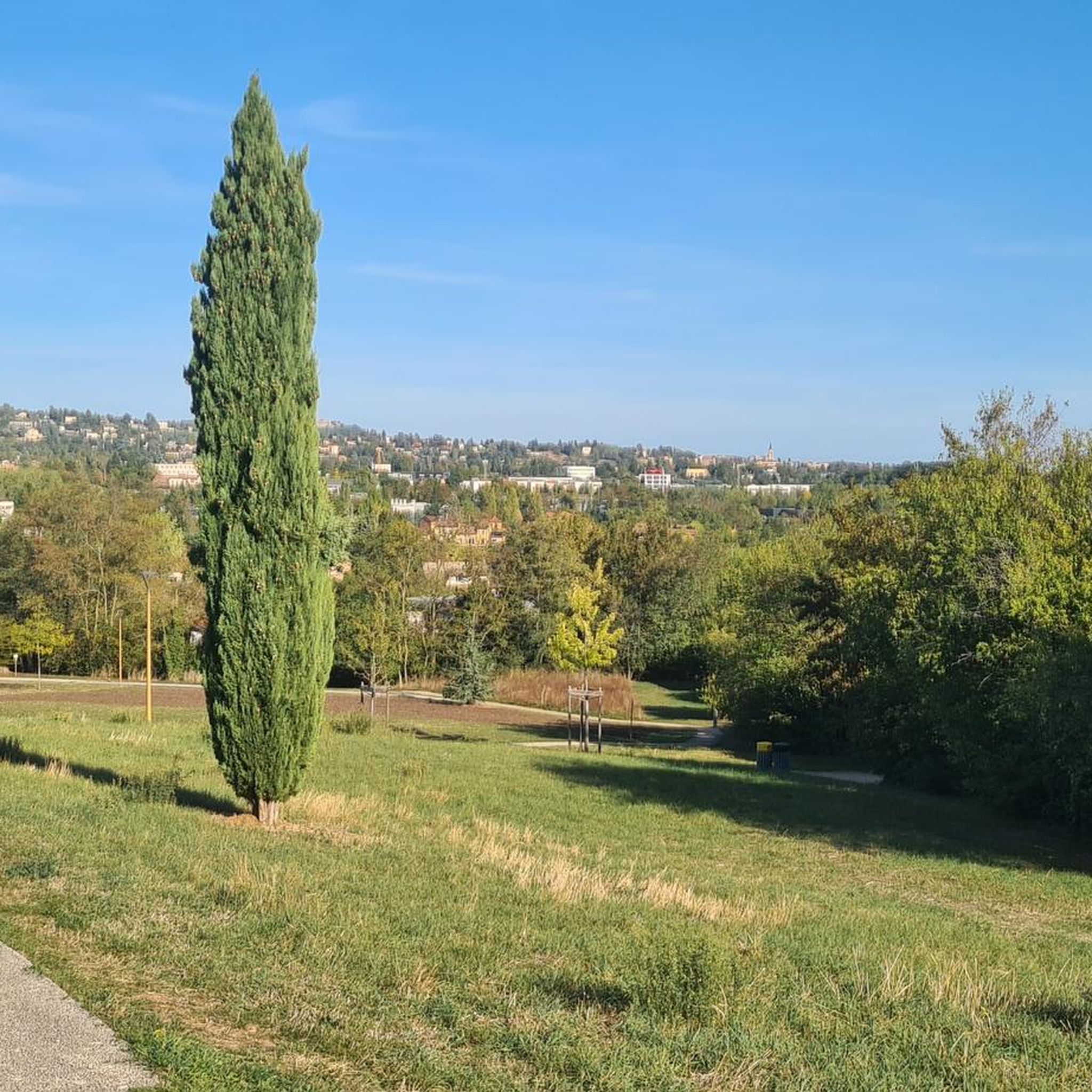
The Fort du Paillet, located in the Monts du Lyonnais, is a historic site surrounded by nature offering a breathtaking view of the surrounding region. This fort, once strategic, is today a peaceful place where vegetation has regained its rights, creating a unique setting for a walk.
0
0

Built in 1872 by the architect François Merlin, the Saint-Roch church is oriented North-South unlike most churches which are oriented East-West. Inside, magnificent stained glass windows are to be admired. They were made at the end of the 19th century by the famous stained glass artist Louis Bégule.
0
0
Built between 1883 and 1886 as part of the protection of Lyon, this fort could shelter up to 300 men. Today the walk around the fort is most pleasant when the weather is nice.
0
0
This small Romanesque church has a Comtois bell tower recognizable by its bell tower-porch aspect which is surmounted by an imperial dome.
0
0

Magnificent woods along the Beffe, leading to the Pré Magnin fishing pond and the former Hippodrome de la Tour de Salvagny. Be careful you may come across horses as well as archers on part of the wood
0
0

Part of the belt of forts surrounding Lyon, built after the war of 1870. The collaborators were imprisoned there during the Liberation.
0
0
Frequently Asked Questions
How many hiking trails are available around La Tour-de-Salvagny?
There are over 15 hiking routes in the La Tour-de-Salvagny area, catering to various skill levels. These include 5 easy, 11 moderate, and 1 difficult trail, offering a diverse range of outdoor experiences.
What kind of terrain can I expect on hikes in La Tour-de-Salvagny?
The region is characterized by gently rolling hills and verdant landscapes, with a significant portion classified as natural and agricultural land. You'll find trails winding through numerous forests and wooded areas, providing varied topography and shaded paths.
Are there any easy hiking routes suitable for beginners or families?
Yes, La Tour-de-Salvagny offers 5 easy routes perfect for beginners or families. These trails provide pleasant walks through the area's green terrain without significant elevation changes, allowing everyone to enjoy the natural surroundings.
Are there any circular walks or loop trails in the area?
Many of the trails around La Tour-de-Salvagny are designed as loops, allowing you to start and end at the same point. For example, the La Tour-de-Salvagny loop is a pleasant 7.98 km option, and the Chemin des Mouchettes – La Beffe Farm View loop is another popular choice.
What are some notable landmarks or points of interest to see while hiking?
While hiking, you can explore historical sites like the Fort du Paillet, which offers
breathtaking views of the surrounding region
. The area also features picturesque spots like Château le Poirier. For broader views, consider visiting Mont Thou or Mount Cindre, which are nearby highlights offering panoramic vistas.What do other hikers say about the trails in La Tour-de-Salvagny?
The hiking routes in La Tour-de-Salvagny are highly rated by the komoot community, with an average score of 4.4 stars from over 1,400 reviews. Hikers often praise the area's diverse terrain, well-maintained paths, and the peaceful, green environment.
Are there any longer or more challenging hikes for experienced trekkers?
Yes, for those seeking a longer challenge, the Ecully Malatray via Poirier – Château le Poirier loop is a moderate 15.2 km trail that takes over 4 hours to complete, leading through rural settings and past historic points. There is also one difficult trail available for experienced trekkers.
Can I find hikes that offer good viewpoints?
Absolutely. The hilly landscape of La Tour-de-Salvagny naturally provides several elevated spots. The historic Fort du Paillet, for instance, is known for its
breathtaking views of the surrounding region
. Nearby peaks like Mont Thou also offer excellent panoramic vistas.What is the best time of year to go hiking in La Tour-de-Salvagny?
The region's verdant landscapes and wooded areas make it enjoyable for hiking throughout much of the year. Spring and autumn offer pleasant temperatures and beautiful scenery, while summer provides shaded trails in the forests. Even winter can be suitable for walks, though conditions may vary.
Are there any specific trails that pass through forests or wooded areas?
Many trails in La Tour-de-Salvagny traverse the region's numerous forests and wooded areas. The La Beffe Farm View – Bois de la Lune loop, for example, specifically winds through wooded sections, offering a refreshing experience amidst nature.
Is there public transport access to hiking trailheads?
La Tour-de-Salvagny is conveniently located just 15 minutes from Lyon, suggesting good connectivity. While specific public transport details for trailheads aren't provided, its proximity to a major city often implies accessible options. It's advisable to check local transport schedules for routes connecting to the starting points of your chosen hikes.
Most popular routes around La Tour-De-Salvagny
Most popular attractions around La Tour-De-Salvagny

Get inspired with the komoot mobile app


Explore more
Browse the best Hikes in other regions.
