The best walks and hikes around Sourcieux-Les-Mines
4.6
(327)
1,738
hikers
18
hikes
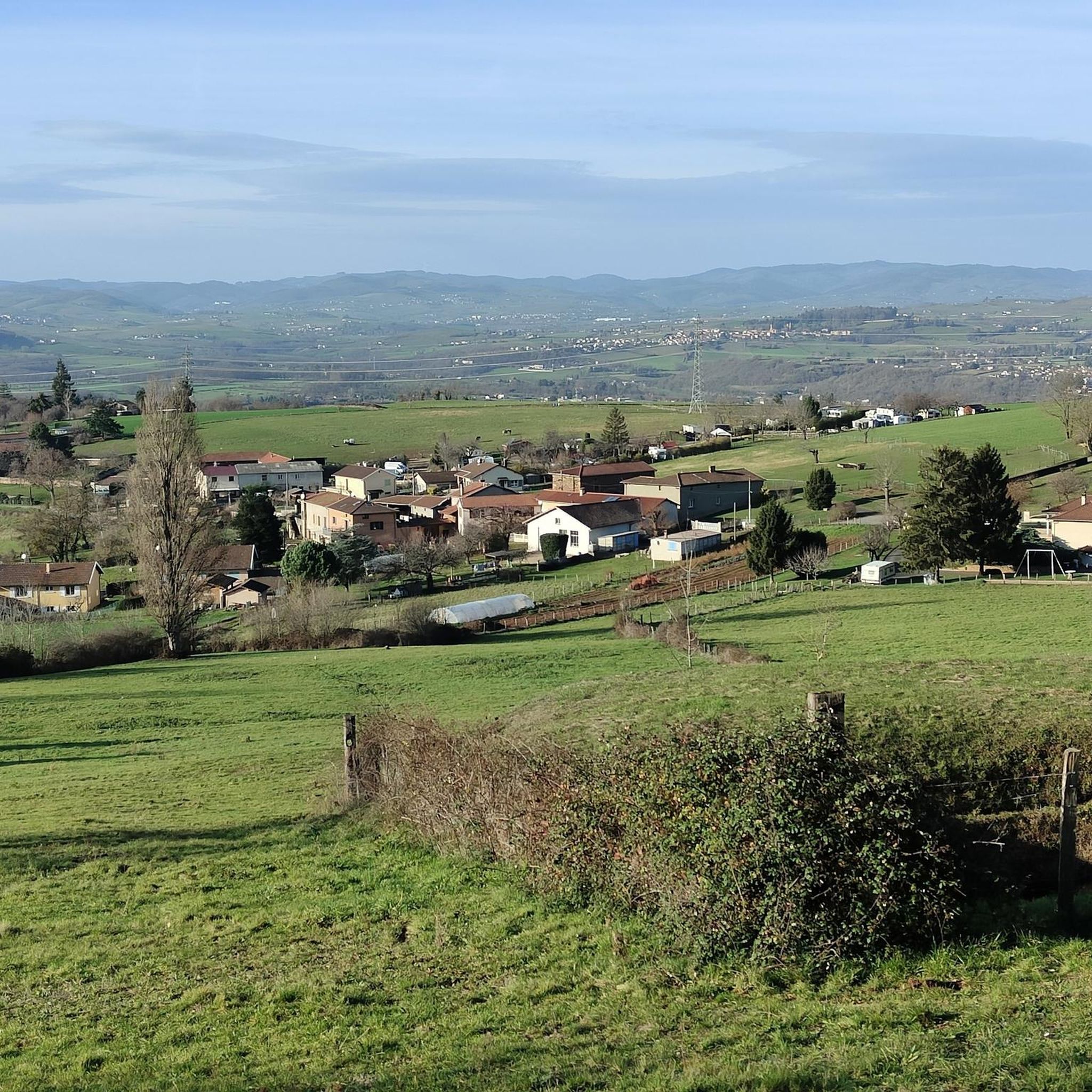
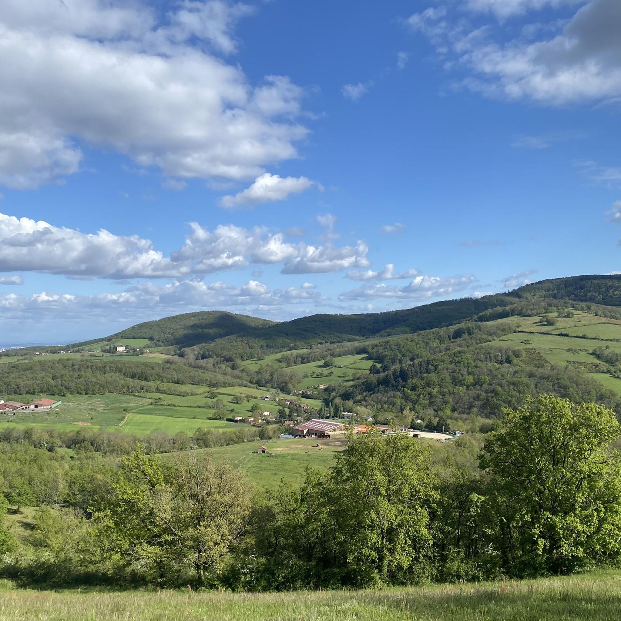
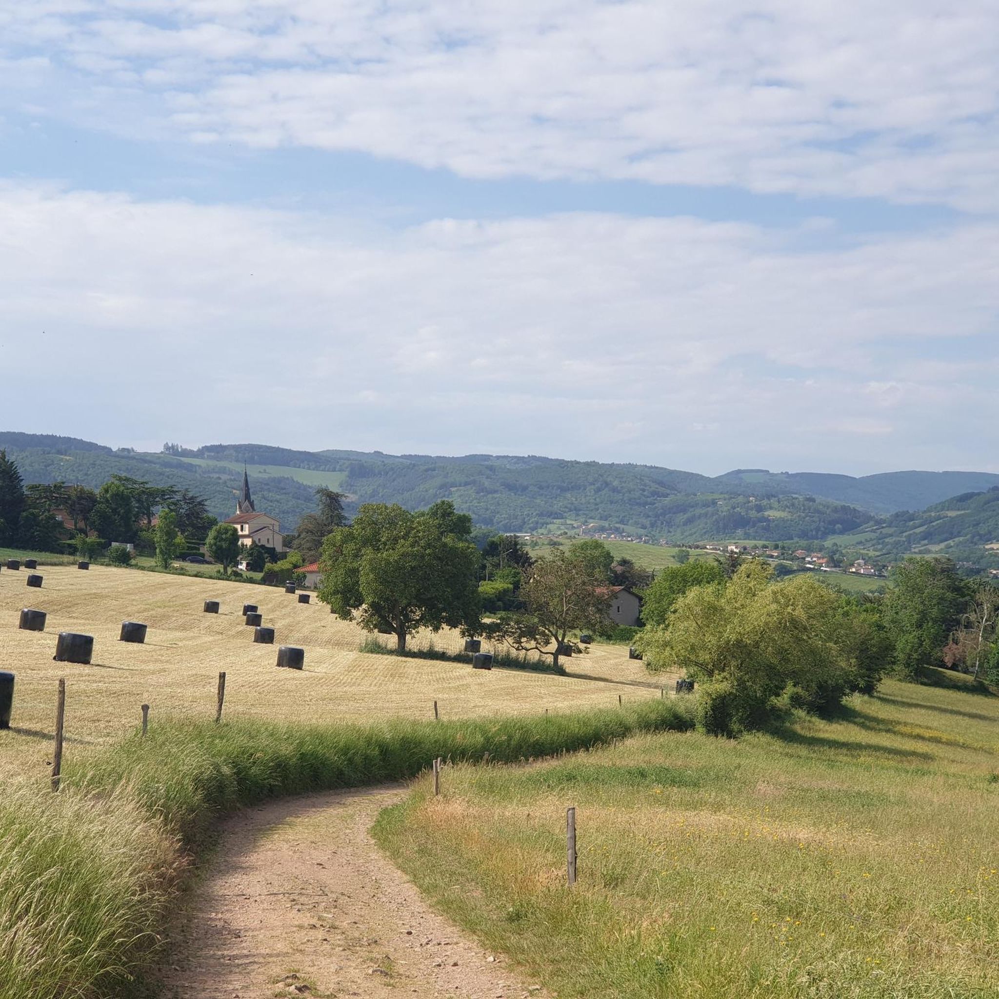
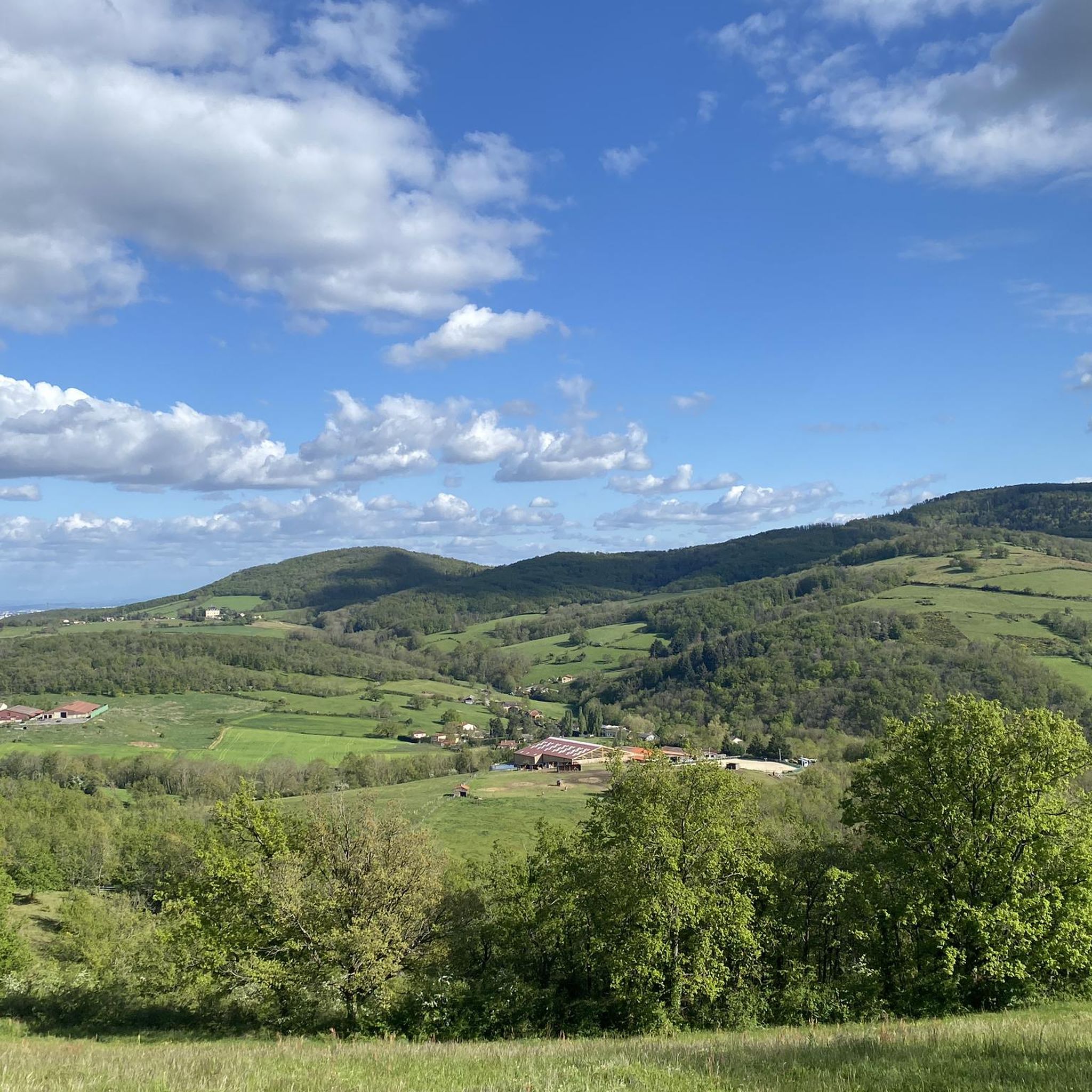
Hiking around Sourcieux-Les-Mines offers diverse trails through a landscape characterized by hills, passes, and natural reserves. The region features varied elevations, including the Col de la Croix du Ban at 602 meters, and areas like the Réserve naturelle de la mine du Verdy. Hikers can explore a mix of open terrain and potentially forested sections, with routes often connecting historical or natural landmarks.
Best hiking trails around Sourcieux-Les-Mines
- The most popular hiking route is Col de la Croix du Ban…
Last updated: October 22, 2026
4.6
(16)
68
hikers
Moderate hike. Good fitness required. Easily-accessible paths. Suitable for all skill levels.
3.5
(2)
24
hikers
5.07km
01:31
170m
170m
Easy hike. Great for any fitness level. Easily-accessible paths. Suitable for all skill levels.

5.0
(1)
10
hikers
13.1km
04:03
500m
510m
Moderate hike. Good fitness required. Easily-accessible paths. Suitable for all skill levels.
4.3
(3)
35
hikers
9.38km
02:50
300m
300m
Moderate hike. Good fitness required. Easily-accessible paths. Suitable for all skill levels.
5.0
(4)
17
hikers
7.99km
02:19
220m
210m
Moderate hike. Good fitness required. Easily-accessible paths. Suitable for all skill levels.
Get access to more routes and recommendations from other explorers.
Already have an account?
Our route recommendations are based on thousands of hikes, rides, and runs completed by other people on komoot.
Start today with a free account
Your next adventure awaits.
Tips from the Community

worth a small detour but accessible on foot or by mountain bike
0
0


The descent is really cool on the Chevinay side
1
0

As you climb the challenging Col de la Croix du Ban, you’ll be rewarded with breathtaking panoramic views of the city of Lyon. This iconic vantage point offers stunning views of the city’s skyline, with its historic buildings, modern skyscrapers, and the confluence of the Rhone and Saone rivers.
0
0
A scenic hike to Chapelle de Fouillet combines history and nature. The trail winds through rolling hills and lush forests, offering a peaceful environment and occasional panoramic views. As you approach the charming stone chapel, you’ll discover that it’s perched atop a hill, offering a serene resting place. The chapel itself is a tranquil retreat, with the surrounding countryside as a backdrop and an information board to help you appreciate the view.
2
0

The Col de la Croix du Ban, in the Monts du Lyonnais, can be approached either from Saint-Pierre-la-Palud or from Poulionnay. In the first case, it is a six-kilometre climb, in the second it is only three. In both cases, the average gradient is 6%.
0
1
The Croix du Ban pass is a delightful challenge for bikepacking enthusiasts, offering a rewarding climb through the lush, wooded landscapes of the Monts du Lyonnais. The ascent is steady to the summit, from where you will have a breathtaking view of the surrounding valleys and hills.
1
1

I confirm, gate closed, it is better to follow the road just above the field, then left to arrive at the convent.
0
0
Frequently Asked Questions
How many hiking trails are available in Sourcieux-Les-Mines?
There are over 18 hiking trails around Sourcieux-Les-Mines, offering a diverse range of experiences through hills, passes, and natural reserves. These routes are highly rated by the komoot community, with an average score of 4.6 stars.
Are there easy hiking trails suitable for beginners in Sourcieux-Les-Mines?
Yes, Sourcieux-Les-Mines offers 8 easy hiking trails. An excellent option for a shorter, accessible loop is the Croix du Ban Pass – Col de la Croix du Ban (602 m) loop from Mercruy, which is 3.1 miles (5.1 km) long.
What kind of terrain can I expect on hikes around Sourcieux-Les-Mines?
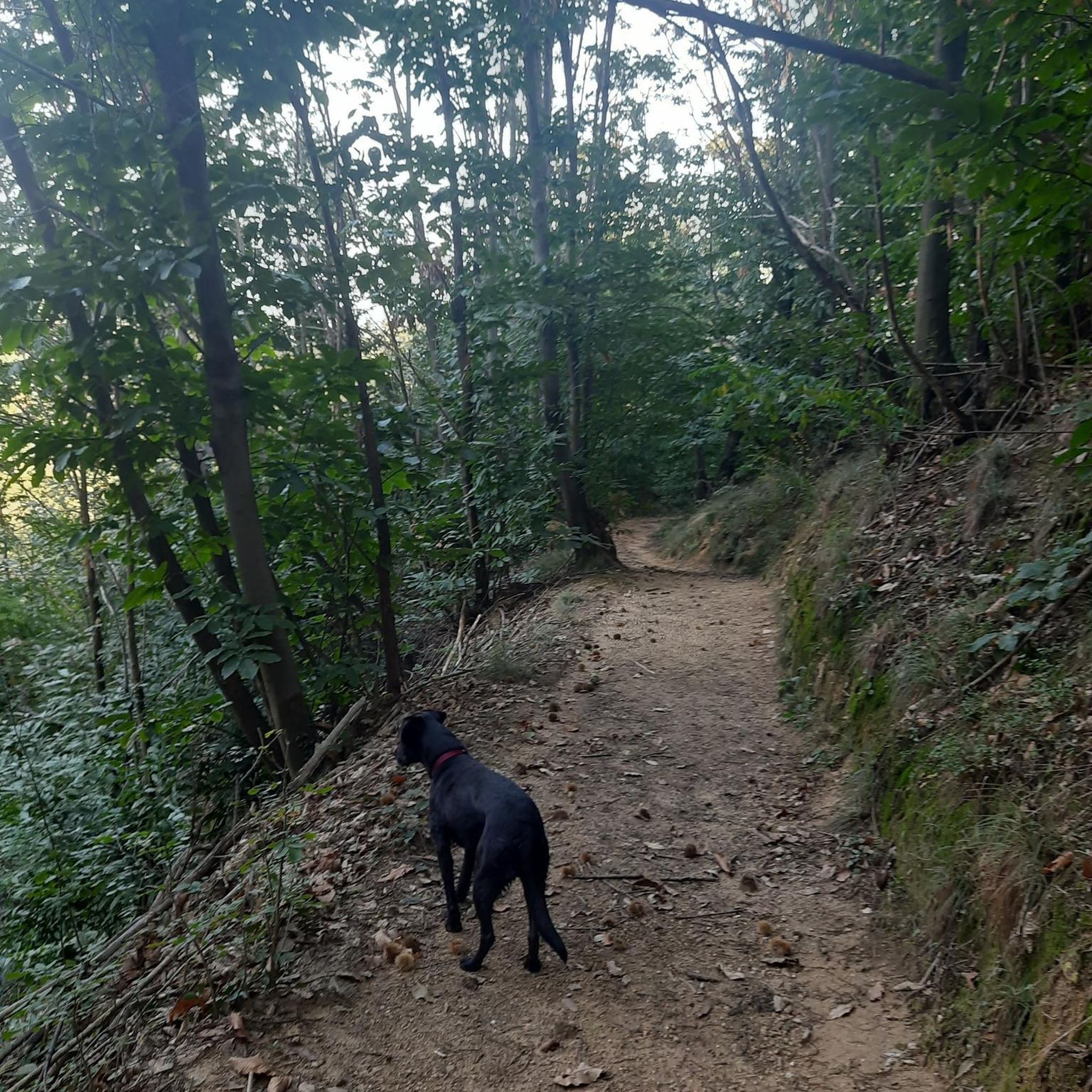
The terrain around Sourcieux-Les-Mines is characterized by a network of hill passes and varied elevations, including the Col de la Croix du Ban at 602 meters. You'll find a mix of open areas and potentially forested sections, often connecting historical or natural landmarks.
Are there any family-friendly hiking routes in the area?
Many of the easy and moderate trails are suitable for families, depending on their experience. The Croix du Ban Pass – Col de la Croix du Ban (602 m) loop from Mercruy is an easy 3.1-mile (5.1 km) path that could be a good choice for a family outing.
Are there any circular hiking routes in Sourcieux-Les-Mines?
Yes, many routes in the region are circular. For example, the popular Col de la Croix du Ban (602 m) – Col de la Luère loop from Réserve naturelle de la mine du Verdy is a 4.2-mile (6.7 km) moderate loop. Another option is the longer Col de la Croix du Ban (602 m) – Col de la Luère loop from Sourcieux-les-Mines, an 8.0-mile (12.9 km) trail.
What are some notable landmarks or attractions I can see while hiking?
While hiking, you can explore various points of interest. The region features mountain passes like Col de la Luère and historical sites such as the Old Col de la Croix du Ban. You might also encounter the Path of the Yzeron Spring.
Are there any castles or historical sites near the hiking trails?
Yes, the area around Sourcieux-Les-Mines is rich in history. You can find the Saint-Bonnet-le-Froid Castle and Church, or explore the charming Charnay Village and Castle. Other historical sites include Fort du Paillet and Fort de Bruissin.
What is the longest hiking trail in Sourcieux-Les-Mines?
Among the listed routes, the Col de la Croix du Ban (602 m) – Col de la Luère loop from Sourcieux-les-Mines is one of the longer options, covering 8.0 miles (12.9 km) and typically taking around 4 hours to complete.
What do other hikers enjoy most about hiking in Sourcieux-Les-Mines?
The area is highly rated by the komoot community, with an average score of 4.6 stars from over 270 reviews. Hikers often praise the diverse terrain, the network of hill passes, and the natural reserves that offer varied options for different ability levels.
Are there any challenging routes for experienced hikers?
Yes, for experienced hikers seeking a challenge, there is at least 1 difficult trail available. The region's varied elevations and numerous passes provide opportunities for more strenuous ascents and longer distances.
Can I find routes that connect multiple passes or natural areas?
Absolutely. Many routes are designed to connect significant features. For instance, the Col de la Croix du Ban (602 m) – Col de la Luère loop from Réserve naturelle de la mine du Verdy explores a nature reserve and two prominent passes, offering a comprehensive experience of the local landscape.
What is the typical duration for a moderate hike in this region?
Moderate hikes vary in length and duration. For example, the Col de la Croix du Ban (602 m) – Col de la Luère loop from Réserve naturelle de la mine du Verdy, a 4.2-mile (6.7 km) moderate trail, typically takes around 2 hours and 8 minutes to complete.
Most popular routes around Sourcieux-Les-Mines
Most popular attractions around Sourcieux-Les-Mines

Get inspired with the komoot mobile app


Explore more
Browse the best Hikes in other regions.
