The best road cycling routes around Mayres-Savel
4.6
(224)
4,504
riders
95
rides
Road cycling around Mayres-Savel features routes characterized by significant elevation changes, often following river valleys and ascending to mountain passes. The landscape includes corniche roads offering views over water bodies and through varied terrain. This region provides a network of roads suitable for different levels of road cycling experience.
Best road cycling routes around Mayres-Savel
- The most popular road cycling route is Collet of Sinard, 900 m – Col de l'Allimas loop from Treffort, a 33.9 miles (54.5 km)…
Last updated: October 18, 2026
4.9
(10)
168
riders
54.6km
03:12
1,270m
1,270m
Hard road ride. Very good fitness required. Mostly well-paved surfaces and easy to ride.
4.5
(2)
22
riders
20.7km
01:19
570m
580m
Moderate road ride. Good fitness required. Mostly well-paved surfaces and easy to ride.

19
riders
53.2km
02:43
870m
870m
Moderate road ride. Good fitness required. Mostly well-paved surfaces and easy to ride.
26
riders
41.6km
02:23
980m
980m
Hard road ride. Very good fitness required. Mostly well-paved surfaces and easy to ride.
5.0
(1)
13
riders
39.7km
02:21
960m
960m
Hard road ride. Very good fitness required. Mostly well-paved surfaces and easy to ride.
Get access to more routes and recommendations from other explorers.
Already have an account?
Our route recommendations are based on thousands of hikes, rides, and runs completed by other people on komoot.
Start today with a free account
Your next adventure awaits.


Tips from the Community

October 2026 Napoleon also arrived in front of La Mairie in La Mure, having breakfast.
0
0

In the afternoon heat on the south-facing slope, very little shade. The last 3km are steep. Warning, no water at La Bâtie (cemetery gate locked), refill well before!
0
0

From Saint-Michel-les-Portes, it's about 7 km at an average gradient of 8%. The last few kilometers often reach double digits. A cruel climb if it's the last one of your day...
0
0
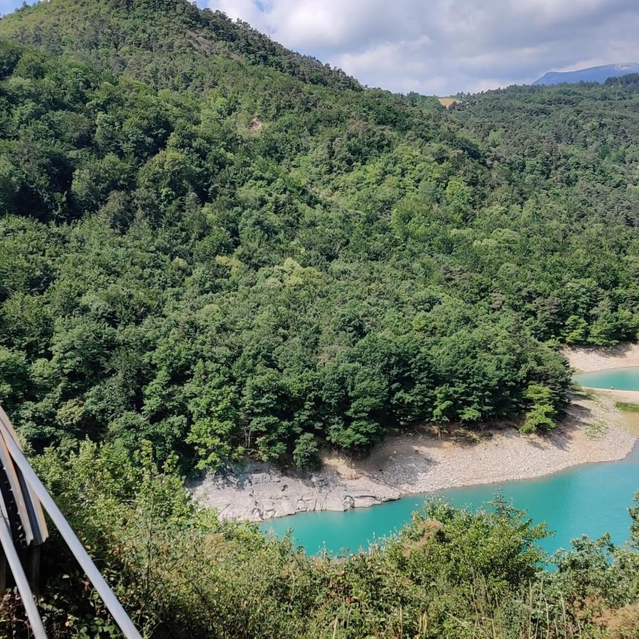
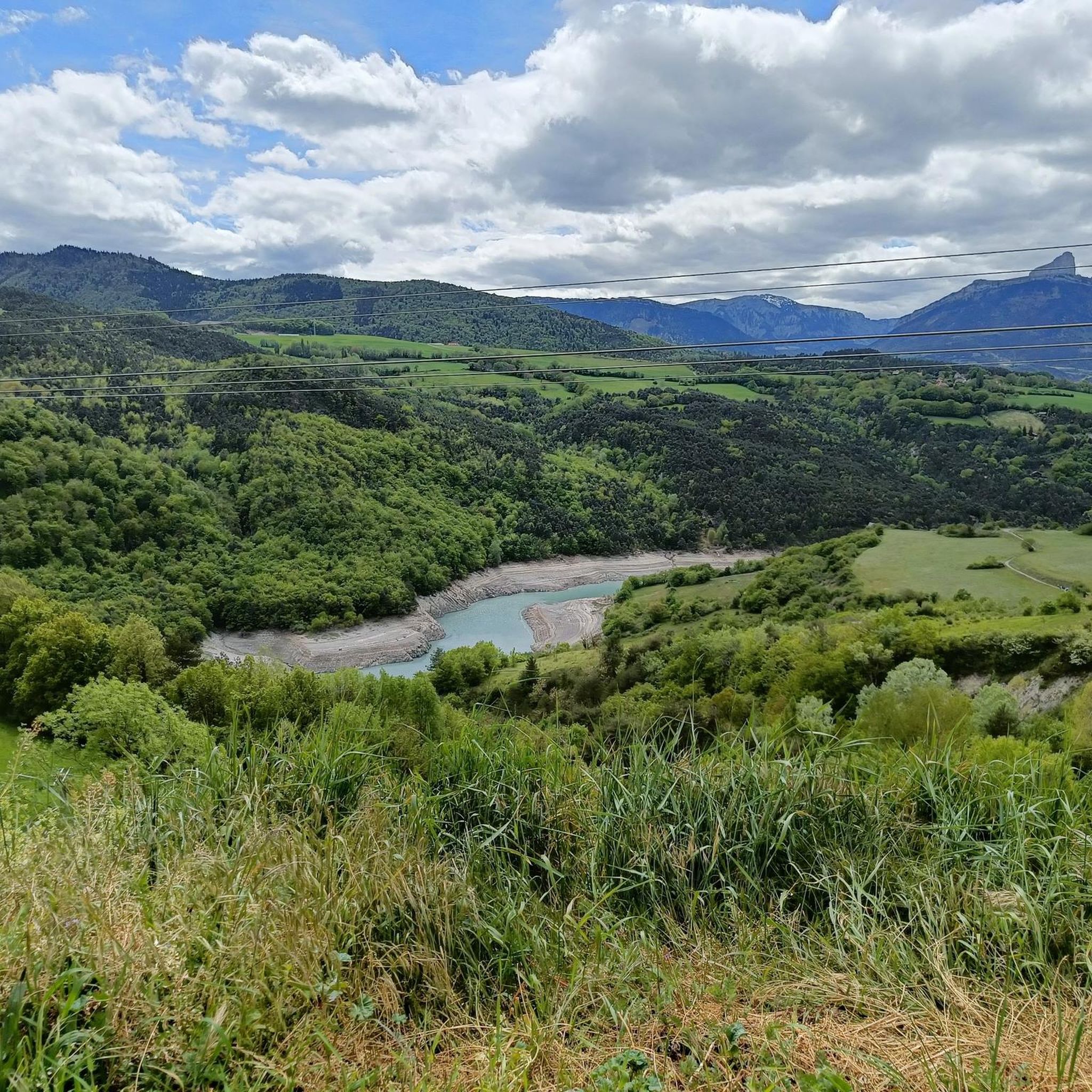
Beautiful view of the steep banks of Lake Monteynard-Avignonet.
0
0

Beautiful view and nice place with a table
0
0

fairly easy, very nice views, quiet roads.
0
0

The Brion Bridge is a suspension bridge over the Hebron River, connecting the towns of Roissard and Lavars. The bridge has only one lane.
0
0
This is one of three mine shafts in the Mure basin. The shaft at La Motte d'Aveillans was closed in 1956. Today, it is a museum that traces the history of coal mining in La Mûre.
0
0
Frequently Asked Questions
How many road cycling routes are available around Mayres-Savel?
There are over 80 road cycling routes available in the Mayres-Savel area. These routes are characterized by significant elevation changes, often following river valleys and ascending to mountain passes, with options for various skill levels.
Are there road cycling routes suitable for beginners or families in Mayres-Savel?
Yes, Mayres-Savel offers a few routes suitable for beginners or those looking for an easier ride. There are 4 easy routes and 42 moderate routes. While specific 'family-friendly' routes are not explicitly categorized, the moderate routes, such as the Hydraulic dam wall loop from Treffort, offer less strenuous options.
What are the most challenging road cycling routes in Mayres-Savel?
For experienced cyclists seeking a challenge, Mayres-Savel features 41 difficult routes. A notable challenging option is the Collet of Sinard, 900 m – Pont de Brion loop from Treffort, which involves significant climbing and covers over 41 kilometers.
What kind of views or natural attractions can I expect along the road cycling routes?
Road cycling routes in Mayres-Savel often provide stunning views of the region's natural beauty. You can expect corniche roads offering vistas over water bodies, river valleys, and mountain landscapes. Highlights include the Col de l'Allimas and the View of Mont Aiguille from Col de l'Allimas. You might also encounter unique geological formations like La Pierre Percée.
Are there any loop road cycling routes in Mayres-Savel?
Yes, many of the road cycling routes in Mayres-Savel are designed as loops, allowing you to start and finish in the same location. Examples include the Hydraulic dam wall loop from Treffort and The Drac Corniche loop from Plage de Mayres Savel.
What is the typical length and duration of road cycling routes in this area?
Route lengths vary significantly. You'll find shorter loops around 20 kilometers, like the Hydraulic dam wall loop from Treffort (20.4 km, approx. 1 hour 17 minutes), up to longer, more demanding rides such as the Collet of Sinard, 900 m – Col de l'Allimas loop from Treffort (54.5 km, approx. 3 hours 12 minutes).
What do other road cyclists say about the routes in Mayres-Savel?
The road cycling routes in Mayres-Savel are highly regarded by the komoot community, with an average rating of 4.6 stars from over 160 reviews. Cyclists often praise the varied terrain, the challenging climbs, and the scenic corniche roads.
Are there any specific landmarks or points of interest to look out for?
Beyond the natural landscapes, you can encounter interesting structures like the Ebron Footbridge and the Drac Footbridge. Mountain passes like Serpaton Pass are also notable points along many routes.
What are the road conditions like for cycling in Mayres-Savel?
The roads in Mayres-Savel are generally well-maintained, suitable for road cycling. However, given the mountainous and corniche nature of the region, cyclists should be prepared for winding roads, varying surfaces, and potential exposure to elements, especially on higher passes.
Is there parking available at the trailheads?
While specific parking information for every trailhead isn't detailed, popular starting points like Treffort and Plage de Mayres Savel typically offer parking facilities. It's advisable to check local maps or komoot route details for specific parking recommendations for your chosen route.
Are there any less-known or 'hidden gem' road cycling routes in the area?
Beyond the most popular options, routes like the Cognet bridge loop from Chardeau offer a challenging experience with significant elevation gain, providing a different perspective on the region's diverse terrain away from the most frequented paths.
Most popular routes around Mayres-Savel
Most popular attractions around Mayres-Savel

Get inspired with the komoot mobile app


Explore more
Browse the best Road cycling routes in other regions.
