The best running trails around Montbazin
4.4
(274)
9,592
runners
510
runs
Jogging around Montbazin offers a diverse landscape for runners. The region features a mix of rolling hills, open plains, and areas with natural rock formations, providing varied terrain for different running preferences. Many routes offer views across the surrounding countryside, with some paths winding through agricultural lands and others ascending to higher ground. The area's topography supports a range of running experiences, from gentle paths to more challenging ascents.
Best jogging routes around Montbazin
- The most popular jogging route is…
Last updated: October 8, 2026
113
runners
20.1km
02:15
320m
320m
Hard run. Very good fitness required. Mostly paved surfaces. Suitable for all skill levels.
35
runners
23.7km
02:52
450m
450m
Hard run. Very good fitness required. Mostly paved surfaces. Suitable for all skill levels.

32
runners
14.9km
01:39
240m
240m
Moderate run. Good fitness required. Mostly paved surfaces. Suitable for all skill levels.
4.0
(1)
23
runners
10.2km
01:16
160m
160m
Moderate run. Good fitness required. Mostly paved surfaces. Suitable for all skill levels.
5.0
(1)
22
runners
6.12km
00:41
60m
60m
Moderate run. Good fitness required. Mostly paved surfaces. Suitable for all skill levels.
Get access to more routes and recommendations from other explorers.
Already have an account?
Our route recommendations are based on thousands of hikes, rides, and runs completed by other people on komoot.
Start today with a free account
Your next adventure awaits.

Tips from the Community

At Plan de Lacan, at the crossroads of several Gardiole trails, these cisterns intended for forest fire defense have been transformed into true works of street art as part of the Cit’Art project, led by the Département de l’Hérault. Since 2017, twelve cisterns in the massif have served as canvases for the creations of several artists from the Line Up collective.
0
0
At an altitude of 224 m, the Pioch de Camille is one of the main peaks of the Gardiole massif. A watchtower occupies its summit and the view extends widely over the surrounding reliefs, the Hérault plain and, to the south, the Mediterranean coast. This limestone relief, which today dominates the plains and the coast, was formed in the Jurassic period in a former shallow sea. The limestone layers thus deposited were then uplifted and deformed by tectonic movements, before being shaped by erosion to give the massif its current form.
0
0
At the place called “ Le Badaud ”, several Gardiole trails converge around this cistern, a true landmark in the heart of the garrigue. From this crossroads, the trails allow access to different sectors of the massif: to the north, the Saint-Félix-de-Montceau abbey; to the south, the ridges overlooking the coast and the Vic-la-Gardiole lagoon.
1
0
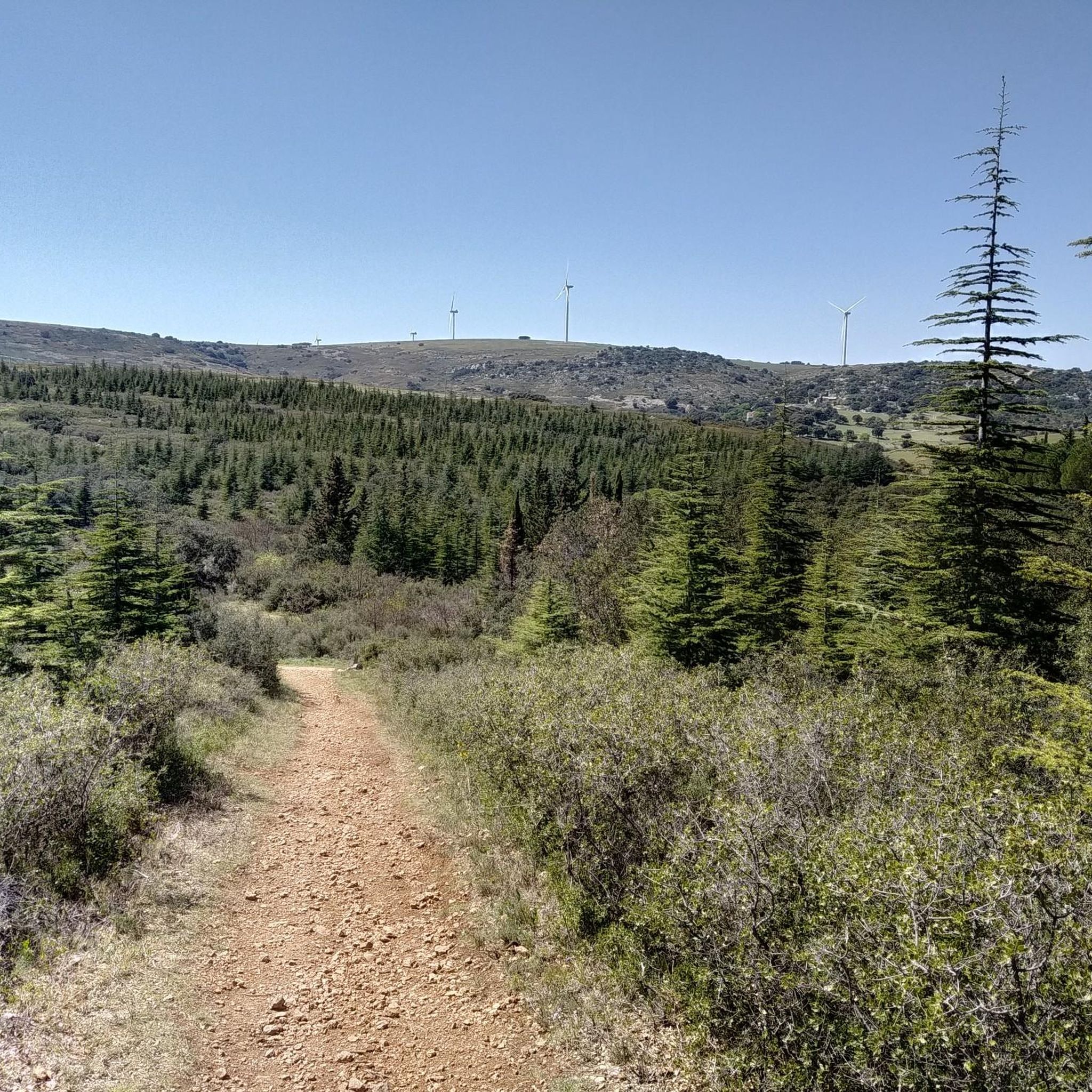
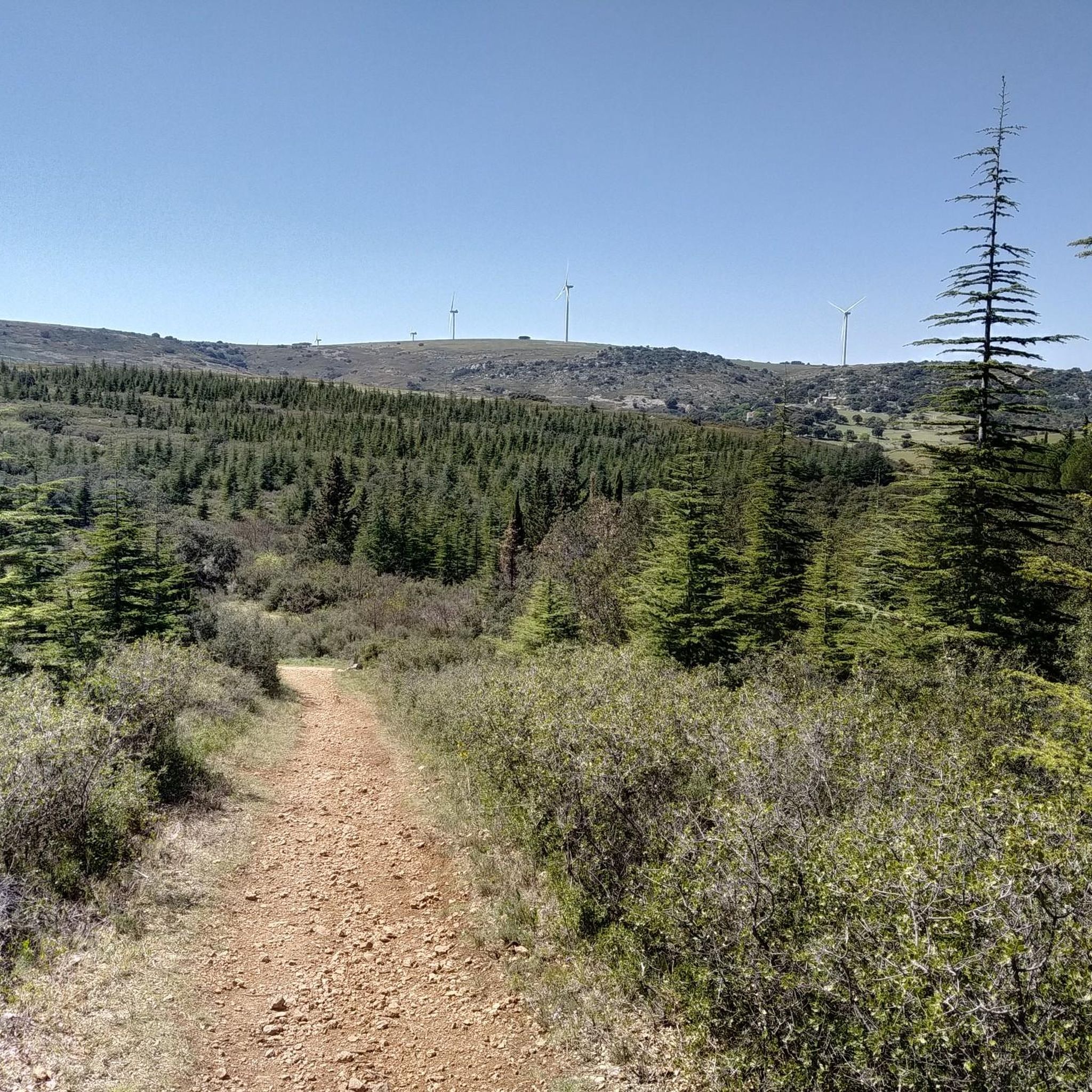
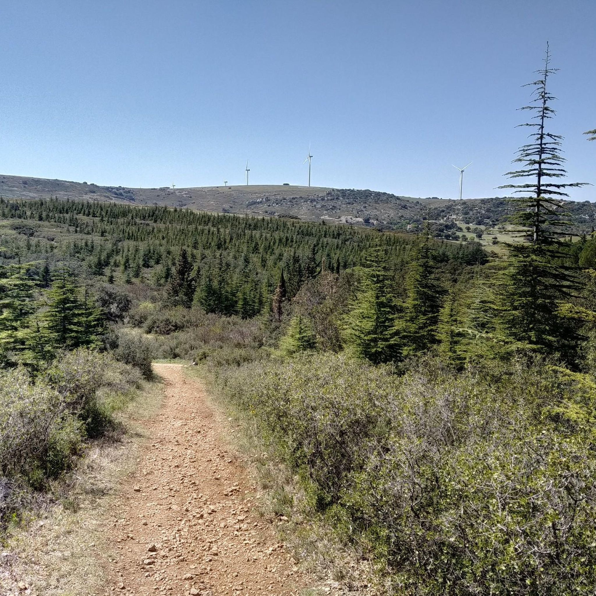
From this path, the view descends towards Vic-la-Gardiole and its pond.
0
0
This sector offers a climb on a limestone ground characteristic of the massif. The view opens up magnificently over the Thau lagoon and its shellfish farming tables. On a clear day, you can also enjoy a panorama of the Combe de Saint-Félix and the ruins of the ancient Benedictine abbey of Saint-Félix-de-Montceau.
0
0

Very long but nice climb 👍
0
0
Very long but nice climb
0
0
Magnificent viewpoint 👍
0
0
Frequently Asked Questions
How many running routes are available around Montbazin?
There are nearly 500 running routes around Montbazin, offering a wide variety of distances and difficulty levels. This includes 41 easy routes, 362 moderate routes, and 95 difficult routes, ensuring options for every runner.
Are there any easy jogging routes suitable for beginners in Montbazin?
Yes, Montbazin offers 41 easy running routes perfect for beginners or those looking for a relaxed jog. These paths typically feature gentler terrain and shorter distances. A good option to start with is the Running loop from Montbazin, which is a moderate 6.1 km trail.
What kind of terrain can I expect on jogging trails in Montbazin?
The jogging trails around Montbazin feature a diverse landscape, including rolling hills, open plains, and areas with natural rock formations. You'll find paths winding through agricultural lands, offering views across the countryside, and some routes with more challenging ascents.
Are there any circular running paths in the Montbazin area?
Yes, many of the running routes in Montbazin are circular, allowing you to start and finish at the same point. For example, the View of Vic-la-Gardiole loop from Gigean is a moderate 14.9 km circular trail through open countryside.
What do other runners say about the trails in Montbazin?
The running trails in Montbazin are highly rated by the komoot community, with an average score of 4.5 stars from over 170 reviews. More than 7,800 runners have explored the varied terrain, often praising the scenic views and diverse running experiences.
Are there any scenic viewpoints along the running routes in Montbazin?
Absolutely. Many routes offer expansive views across the landscape. For instance, the La cabane de la Gardiole – View of Vic-la-Gardiole loop from Gigean provides stunning vistas. You can also find highlights like the Stunning view of the Thau Lagoon and Sète or the View of the Étangs and Coastline from La Gardiole near some trails.
What natural attractions can I see while running near Montbazin?
The region boasts several natural attractions. You might encounter the Salines de Villeneuve Nature Reserve, Vic Pond, or even a remarkable geological formation. Some routes, like the Grotte du Col de Gigean – From abbey to cave loop from Gigean, will take you past interesting natural features.
Are there any longer, more challenging running routes in Montbazin?
Yes, for experienced runners seeking a challenge, there are 95 difficult routes. The View of Vic-la-Gardiole – Col de Gigean Grotto loop from Gigean is a demanding 20.1 km trail with significant elevation gain, offering a robust workout.
Can I find trails that pass by lakes or water bodies in the Montbazin area?
Yes, the region around Montbazin is known for its proximity to various water bodies. You can find routes that offer views of the Vic Pond, the Étang de Thau, or even the Lake Cambelliès. These provide a refreshing change of scenery during your run.
What is the best time of year for running in Montbazin?
Montbazin generally enjoys a Mediterranean climate. Spring and autumn offer pleasant temperatures, making them ideal for running. Summers can be hot, so early morning or late evening runs are recommended. Winters are typically mild, allowing for year-round running, though some paths might be muddy after rain.
Are there any specific trails that offer a mix of natural beauty and historical interest?
While the primary focus is natural beauty, some routes might pass by areas with historical significance. For example, the Grotte du Col de Gigean – From abbey to cave loop from Gigean hints at historical elements, combining natural formations with potential glimpses of the region's past.
Most popular attractions around Montbazin

Get inspired with the komoot mobile app


Explore more
Browse the best Running Trails & Routes in other regions.
