The best walks and hikes around Barnstorf-Warle
4.6
(6882)
23,708
hikers
687
hikes
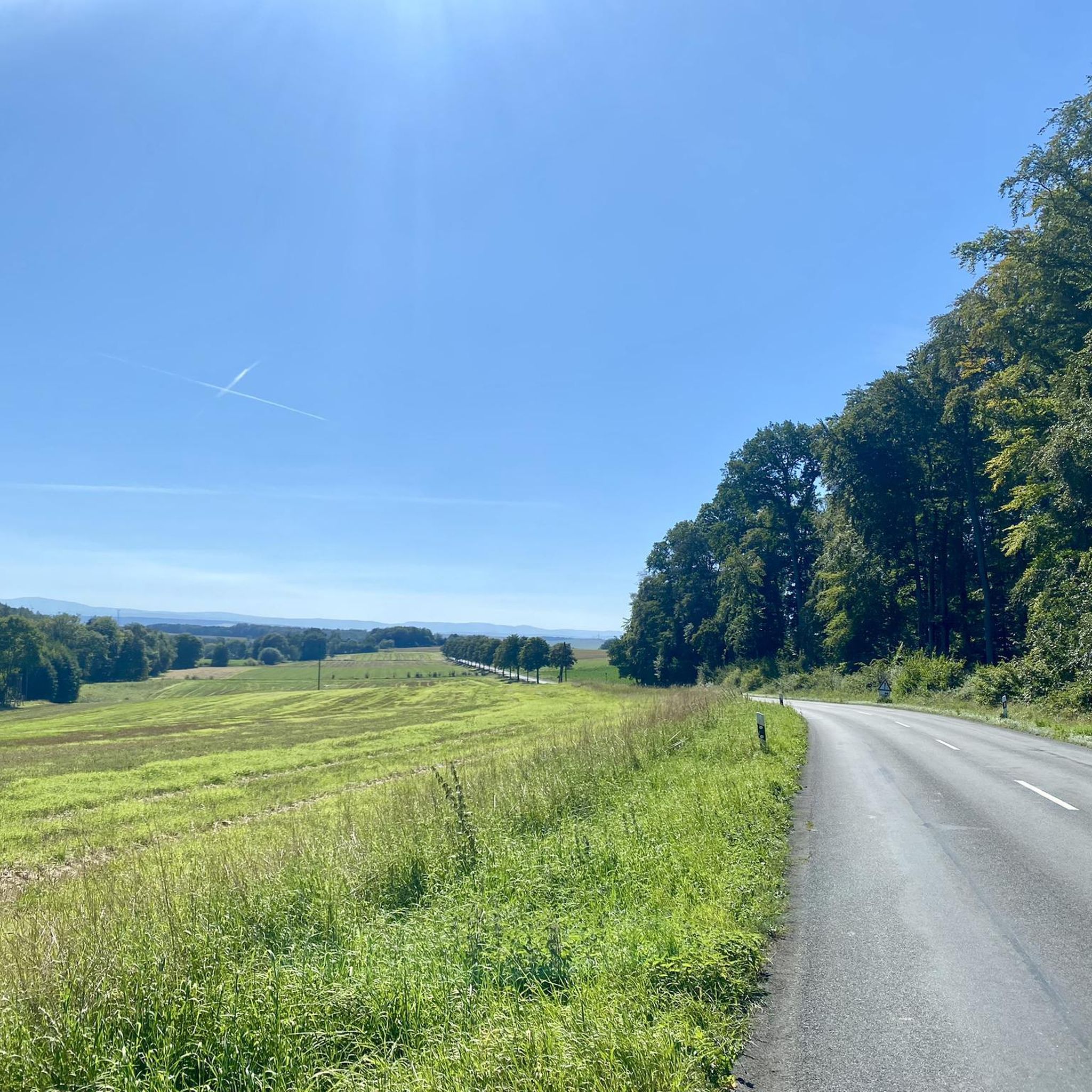
Hiking trails around Barnstorf-Warle traverse a diverse landscape in Wolfenbüttel, Germany, characterized by rolling hills, green meadows, and dense forests. The region features significant moorland areas, such as the Kuhlenmoor, and the scenic Reitlingstal valley. The nearby Hunte River also contributes to the natural environment.
Best hiking trails around Barnstorf-Warle
- The most popular hiking route is Schuntersee – Schunter Spring loop from Brunsleberfeld, a 5.7 miles (9.2 km) trail that takes 2 hours 27 minutes to complete, exploring the…
Last updated: August 20, 2026
4.4
(22)
78
hikers
9.21km
02:27
90m
100m
Moderate hike. Good fitness required. Easily-accessible paths. Suitable for all skill levels.
4.9
(9)
40
hikers
12.2km
03:16
150m
140m
Moderate hike. Good fitness required. Easily-accessible paths. Suitable for all skill levels.

Sign up for free
4.5
(11)
54
hikers
10.3km
02:47
140m
140m
Moderate hike. Good fitness required. Easily-accessible paths. Suitable for all skill levels.
5.0
(8)
46
hikers
Easy hike. Great for any fitness level. Easily-accessible paths. Suitable for all skill levels.
4.4
(15)
44
hikers
14.7km
03:54
140m
140m
Moderate hike. Good fitness required. Easily-accessible paths. Suitable for all skill levels.
Get access to more routes and recommendations from other explorers.
Sign up for free
Already have an account?
Our route recommendations are based on thousands of hikes, rides, and runs completed by other people on komoot.
Start today with a free account
Your next adventure awaits.
Login or Signup
Tips from the Community

It's always nice to linger and enjoy by the water! Great seating.
2
0

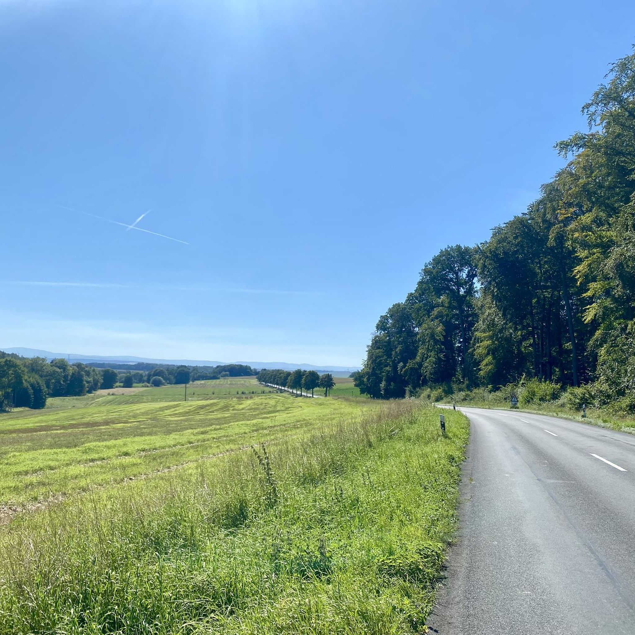
With clear visibility, you can enjoy the gentle hills of the Huy and the striking heights of the Harz at the same time – especially beautiful at sunrise or sunset.
0
0

Finally, a shelter.
0
0

A very nice highlight.
0
0
It's worth taking a photo stop here.
0
0
Great installation. It's worth stopping here for a photo.
0
0
Great installation. It's worth stopping here for a photo.
0
0
Frequently Asked Questions
How many hiking trails are available in Barnstorf-Warle?
Barnstorf-Warle offers a wide selection of over 680 hiking trails, catering to various preferences and fitness levels. These routes traverse diverse landscapes, including rolling hills, dense forests, and unique moorland areas.
What types of landscapes can I expect to see while hiking in Barnstorf-Warle?
The region is characterized by an idyllic landscape featuring rolling hills, green meadows, and dense forests. You'll also find significant moorland areas, such as the Kuhlenmoor, and the scenic Reitlingstal valley. The nearby Hunte River adds to the natural beauty, offering serene waters and scenic banks.
Are there any family-friendly hiking trails in Barnstorf-Warle?
Yes, Barnstorf-Warle has trails suitable for families. The region offers easy paths, and specifically, the Adventure Trail Forest Playground is designed for families with children, combining fun play stations with educational information about local flora and fauna.
Are there any circular hiking routes in the area?
Many trails in Barnstorf-Warle are designed as loops. For example, the Schuntersee – Schunter Spring loop from Brunsleberfeld is a popular moderate route, and the Hagen Monument at the Tetzelstein – Tetzelstein loop from Brunsleberfeld also offers a scenic circular experience through forested areas.
What are the best seasons for hiking in Barnstorf-Warle?
Spring and autumn are particularly recommended for hiking in Barnstorf-Warle. During these seasons, nature is especially colorful, with blooming plants in spring and vibrant forest hues in autumn, offering breathtaking views.
What do other hikers say about the trails in Barnstorf-Warle?
The hiking routes in Barnstorf-Warle are highly rated by the komoot community, with an average score of 4.6 stars from over 6,000 reviews. Hikers often praise the diverse terrain, well-maintained paths, and the peaceful natural environment.
Are there any notable natural monuments or landmarks to see along the trails?
Yes, the area features several interesting natural monuments and historical sites. You can explore the Eilumer Horn Summit Cross, the Abbot Fabricius Spring (Lutterspring), and the Lutter Waterfall and Great Pond. The Elmsburg Church Ruins also offer a glimpse into the region's history.
Are there any specific themed trails in the region?
Beyond general hiking paths, you can explore the Kuhlenmoor Nature Trail, which guides hikers through its unique moorland environment. Additionally, the Kulturweg Drebber-Barnstorf allows visitors to discover historical sights like churches and half-timbered houses.
Are there options for easy hikes in Barnstorf-Warle?
Yes, the region offers a good selection of easy hikes. For instance, the Elm Edge Trailhead Parking – Elk Tree loop from Groß Dahlum is an easy route, perfect for a relaxed outing.
Where can I find parking for hiking trails in Barnstorf-Warle?
Accessible starting points for walks are available, such as the car park at the Moor Information Centre for the Kuhlenmoor Trail. Many trailheads throughout the region offer designated parking facilities.
Are there places to eat or rest near the hiking trails?
Yes, the area provides amenities for hikers. Places like Gaststätte Reitling offer opportunities for restaurant visits combined with hiking. The Siebengestirn Village Square also serves as a point where multiple paths converge, offering facilities like a barbecue hut.
Can I find longer or more challenging routes in Barnstorf-Warle?
While many routes are easy to moderate, there are options for longer hikes. The Schunter Spring – Old Warberg Castle Ruins loop from Brunsleberfeld is a moderate route spanning nearly 15 km, offering a more extended exploration of the landscape.
Most popular attractions around Barnstorf-Warle

Get inspired with the komoot mobile app


Explore more
Browse the best Hikes in other regions.
