The best walks and hikes around Clairoix
4.6
(402)
1,985
hikers
265
hikes
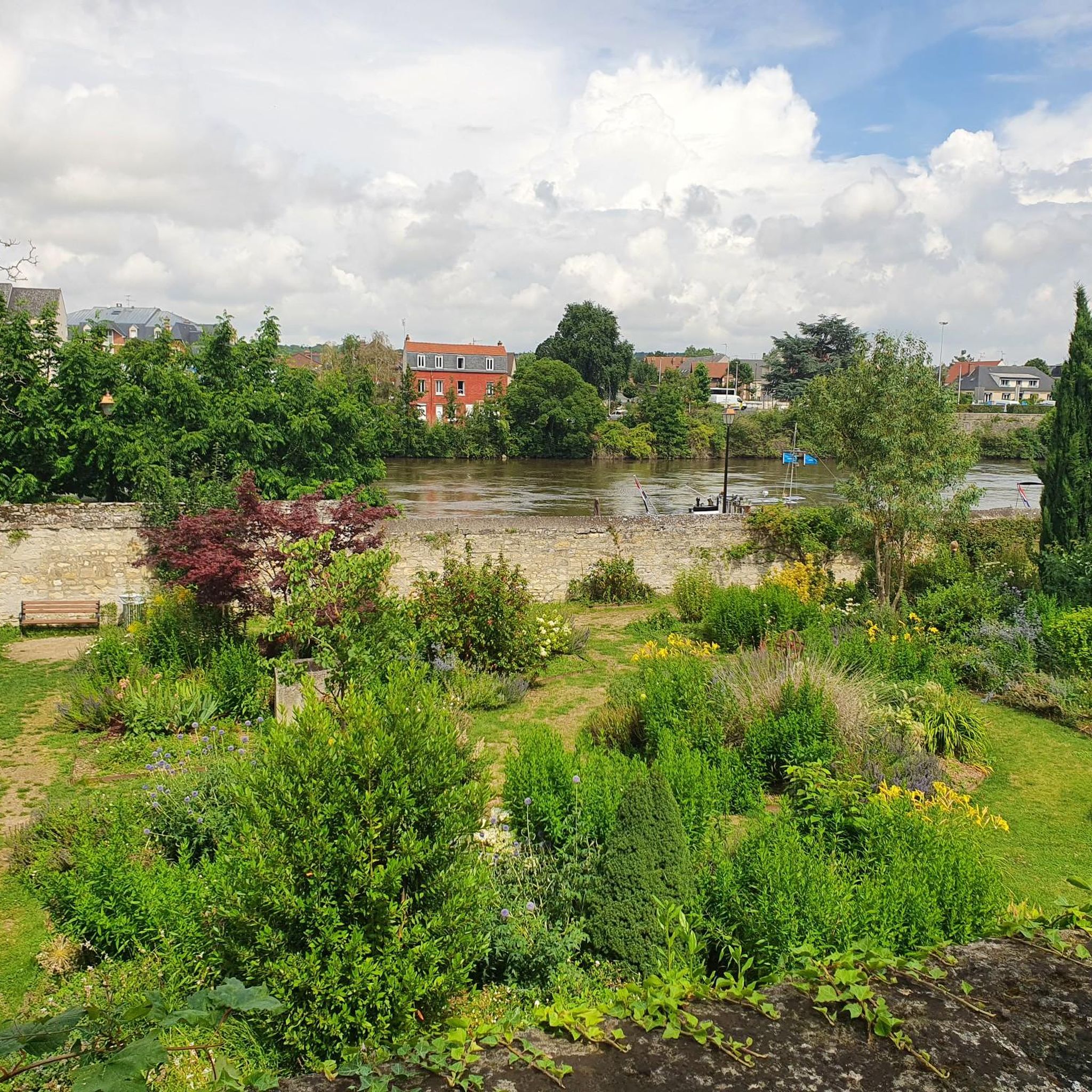
Hiking around Clairoix offers diverse natural landscapes, situated on the southern borders of Mont Ganelon and bordered by the Oise and Aronde Rivers. The region is characterized by extensive woodlands, notably the nearby Forêt de Compiègne, which provides a vast network of trails. These varied terrains include riverbanks, forest paths, and gentle elevations, suitable for different hiking experiences.
Best hiking trails around Clairoix
- The most popular hiking route is Compiègne - Armistice Clearing Trail, a 4.8 miles (7.7 km)…
Last updated: July 5, 2026
3.4
(7)
12
hikers
7.71km
01:58
30m
30m
Hike the easy 4.8-mile Compiègne - Armistice Clearing Trail through the Compiègne Forest, exploring a site of immense historical significanc
5.0
(6)
20
hikers
12.7km
03:17
70m
70m
Moderate hike. Good fitness required. Easily-accessible paths. Suitable for all skill levels.

Sign up for free
4.7
(7)
28
hikers
16.4km
04:51
460m
460m
Moderate hike. Good fitness required. Easily-accessible paths. Suitable for all skill levels.
4.0
(4)
27
hikers
4.82km
01:14
10m
10m
Easy hike. Great for any fitness level. Easily-accessible paths. Suitable for all skill levels.
5.0
(1)
7
hikers
20.3km
05:20
160m
160m
Hard hike. Very good fitness required. Easily-accessible paths. Suitable for all skill levels.
Get access to more routes and recommendations from other explorers.
Sign up for free
Already have an account?
Our route recommendations are based on thousands of hikes, rides, and runs completed by other people on komoot.
Start today with a free account
Your next adventure awaits.
Login or Signup




Tips from the Community

A must-see history
0
0

Gravel course, excellent condition required
0
0


Pretty nice spot. Besides, as soon as the water is present, it’s always magnificent!
1
0

The armistice agreement of World War I was signed here on November 11, 1918 in a clearing in the forest of Compiègne in a railway carriage. In June 1940, France's capitulation to the German Reich was also signed here and in the same carriage. For this purpose, the carriage was brought back here from a museum on Hitler's orders. The original carriage no longer exists, but you can admire an identical carriage here in the museum for a fee. Today you can also find a lot of patriotism and commemoration here.
1
0

The Etang du Buissonnet is one of the largest ponds in the region. Bordered by the old railway line, you can enjoy views of the water and wildlife.
3
0

Magnificent view of the Compiègne Palace
1
0

Very nice memorial. I did not have the opportunity to visit the museum.
0
0
Frequently Asked Questions
How many hiking trails are available around Clairoix?
Clairoix offers an extensive network of hiking trails, with over 250 routes recorded on komoot. These include a wide range of options, from easy strolls to more challenging hikes, catering to various preferences and fitness levels.
What kind of terrain can I expect on hikes near Clairoix?
The terrain around Clairoix is quite diverse. You'll find paths along the banks of the Oise River and the smaller Aronde River, through the gentle elevations of Mont Ganelon, and extensively within the vast Forêt de Compiègne. Expect a mix of forest paths, riverside trails, and some moderate ascents and descents.
Are there any family-friendly hiking options in Clairoix?
Yes, Clairoix has several family-friendly options. The municipality has established six distinct hiking circuits within Clairoix itself, ranging from 3.6 km to 10.6 km, designed for pedestrians and mountain bikers with minimal road travel. Many of the 111 easy routes available on komoot are also suitable for families. For example, the Compiègne - Armistice Clearing Trail is an easy 7.7 km route through historical forest areas.
What are the best places to explore for natural beauty or viewpoints near Clairoix?
For natural beauty, the Forêt de Compiègne is a must-visit, offering ancient trees, diverse wildlife, and scenic forest boulevards like the 'Percée des Beaux-Monts'. For expansive views, head to the Beaux Monts Viewpoint within the forest. The Oise River banks also provide picturesque routes.
Are there any circular hiking routes around Clairoix?
Yes, many of the trails around Clairoix are circular. The local council has developed several marked circuits within the town, and komoot features numerous loop trails. A popular moderate option is the Janville view bench loop from Clairoix, which is 16.4 km long and takes you through varied landscapes.
What historical landmarks or attractions can I see while hiking near Clairoix?
The region is rich in history. Within the Forêt de Compiègne, you can explore the ruins of an ancient monastery at Mont Saint-Pierre-en-Chastres or Gallo-Roman remains at Mont-Berny. The Armistice Clearing (Clairière de l’Armistice) is a significant historical site. The Château de Compiègne and Compiègne Town Hall are also notable attractions nearby.
Is it possible to reach hiking trails near Clairoix using public transport?
While Clairoix itself is accessible, direct public transport to the start of specific hiking trails can vary. Many trails, especially those within the Forêt de Compiègne, are best accessed by car. However, some routes starting from Compiègne, a larger town nearby, might be more accessible via public transport connections.
What do other hikers enjoy most about hiking in Clairoix?
The hiking experience around Clairoix is highly rated by the komoot community, with an average score of 4.6 stars from over 300 reviews. Reviewers often praise the quiet woodlands of the Forêt de Compiègne, the scenic riverbanks, and the well-maintained paths that offer a peaceful escape into nature.
Are there any long-distance or more challenging hikes around Clairoix?
Yes, for those seeking longer or more challenging experiences, there are 7 difficult routes and 132 moderate routes available. The Francport Pony Junction – The Banks of the Aisne loop from Compiègne is a challenging 19.3 km route with significant elevation changes, offering a more strenuous adventure.
Can I find hikes that feature water elements like ponds or rivers?
Absolutely. The region is bordered by the Oise River and traversed by the Aronde River, offering many routes along their banks. The In the footsteps of empresses – Pond loop from Compiègne is a popular moderate 12 km trail specifically featuring scenic pond views and forest terrain. Another option is the On the banks of the Oise – Beauregard Tower loop from Compiègne.
What wildlife might I encounter on the trails near Clairoix?
The extensive woodlands, particularly the Forêt de Compiègne, are home to diverse wildlife. Hikers often have the chance to spot deer, roe deer, and wild boars. The varied ecosystems of the Oise-Pays de France Regional Nature Park also support a wide array of local fauna.
Are there other significant forests or natural parks accessible from Clairoix?
Beyond the immediate Forêt de Compiègne, the region offers access to several other significant natural areas. These include the Forêt de Laigue (7 km), Forêt de Retz (27 km), and Forêt d'Ermenonville (35 km). Many of these are integrated into the Oise-Pays de France Regional Nature Park, which boasts over 1,000 km of trails through diverse environments.
Most popular attractions around Clairoix

Get inspired with the komoot mobile app


Explore more
Browse the best Hikes in other regions.
