The best running trails around Saint-André-De-Buèges
4.2
(57)
1,117
runners
101
runs
Jogging routes around Saint-André-De-Buèges traverse a landscape characterized by limestone hills, deep valleys, and natural springs. The region features varied terrain, including rocky paths and sections through Mediterranean vegetation. These running routes offer opportunities to explore the area's geological formations and natural environment.
Best jogging routes around Saint-André-De-Buèges
- The most popular jogging route is Peyre Martine Trail, a 10.0 miles (16.1 km) trail that takes 2 hours 11 minutes to complete. This difficult route features significant elevation gain through…
Last updated: October 11, 2026
5.0
(1)
56
runners
16.1km
02:12
840m
840m
Jog the difficult Peyre Martine Trail, a 10.0-mile route with 2756 feet of elevation gain and panoramic views from its summit.
15
runners
12.2km
01:50
610m
610m
This difficult 7.6-mile jogging trail from Notre-Dame-du-Suc offers panoramic views from Le Roc Blanc and challenging terrain.

61
runners
25.4km
03:52
1,370m
1,370m
Hard run. Very good fitness required. Mostly paved surfaces. Suitable for all skill levels.
4.0
(1)
43
runners
19.9km
02:38
790m
790m
Hard run. Very good fitness required. Mostly paved surfaces. Suitable for all skill levels.
30
runners
19.3km
02:43
780m
780m
Hard run. Very good fitness required. Sure-footedness, sturdy shoes and alpine experience required.
Get access to more routes and recommendations from other explorers.
Already have an account?
Our route recommendations are based on thousands of hikes, rides, and runs completed by other people on komoot.
Start today with a free account
Your next adventure awaits.

Tips from the Community

A great village, with winding alleyways where it's pleasant to get lost.
0
0
A magical place, ideal for taking a break by the water.
0
0


magnificent waterfalls, a must-see
1
0

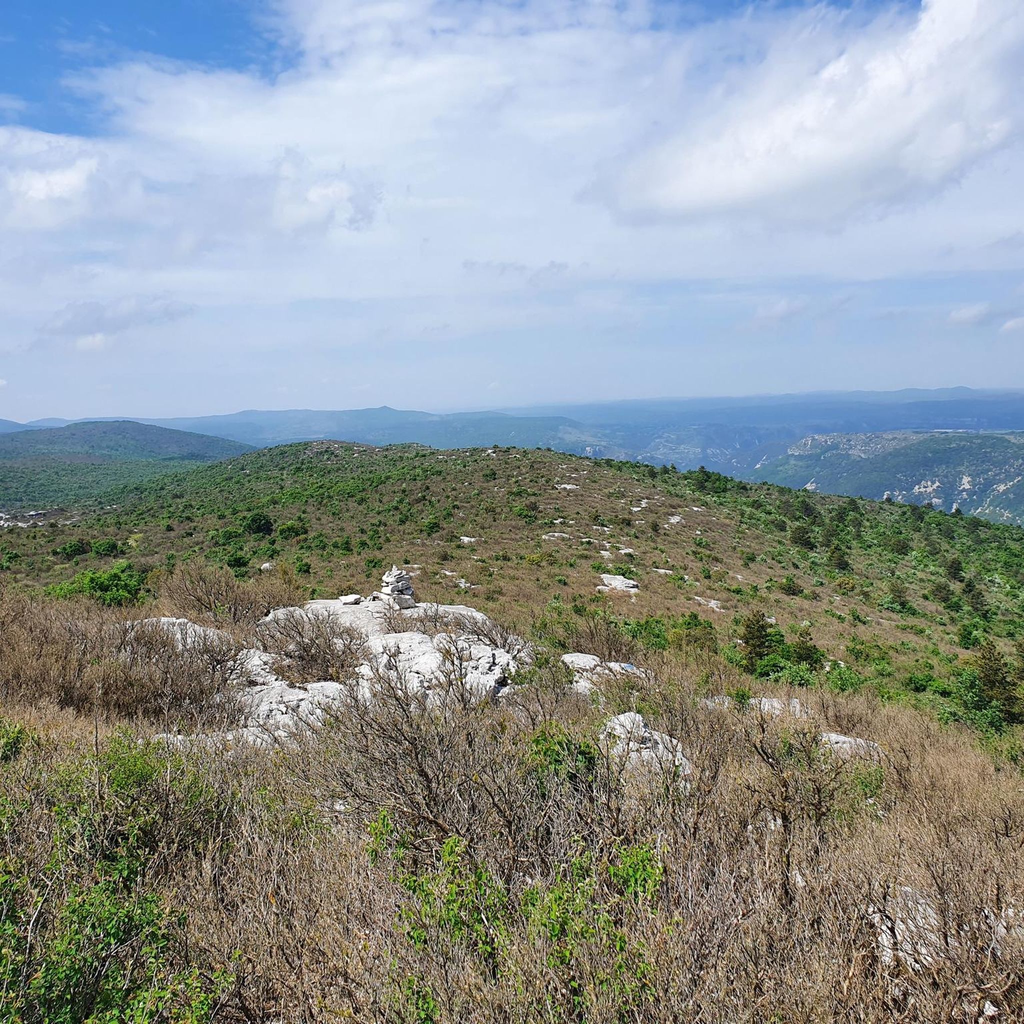
A really nice spot. Not as high as the ROC BLANC, but almost prettier, with a much more pleasant hike. The path to get there is nice, although steep, with a good difference in altitude! The descent is moderately gentle, but few surprises. In short, a pleasant summit, where it is good to spend time! BE CAREFUL, once at the top, to get to the "cornice", an 8/10m hole is almost at the edge of the path. Watch your feet.
2
0
A pretty little village at the foot of the Séranne!
1
0
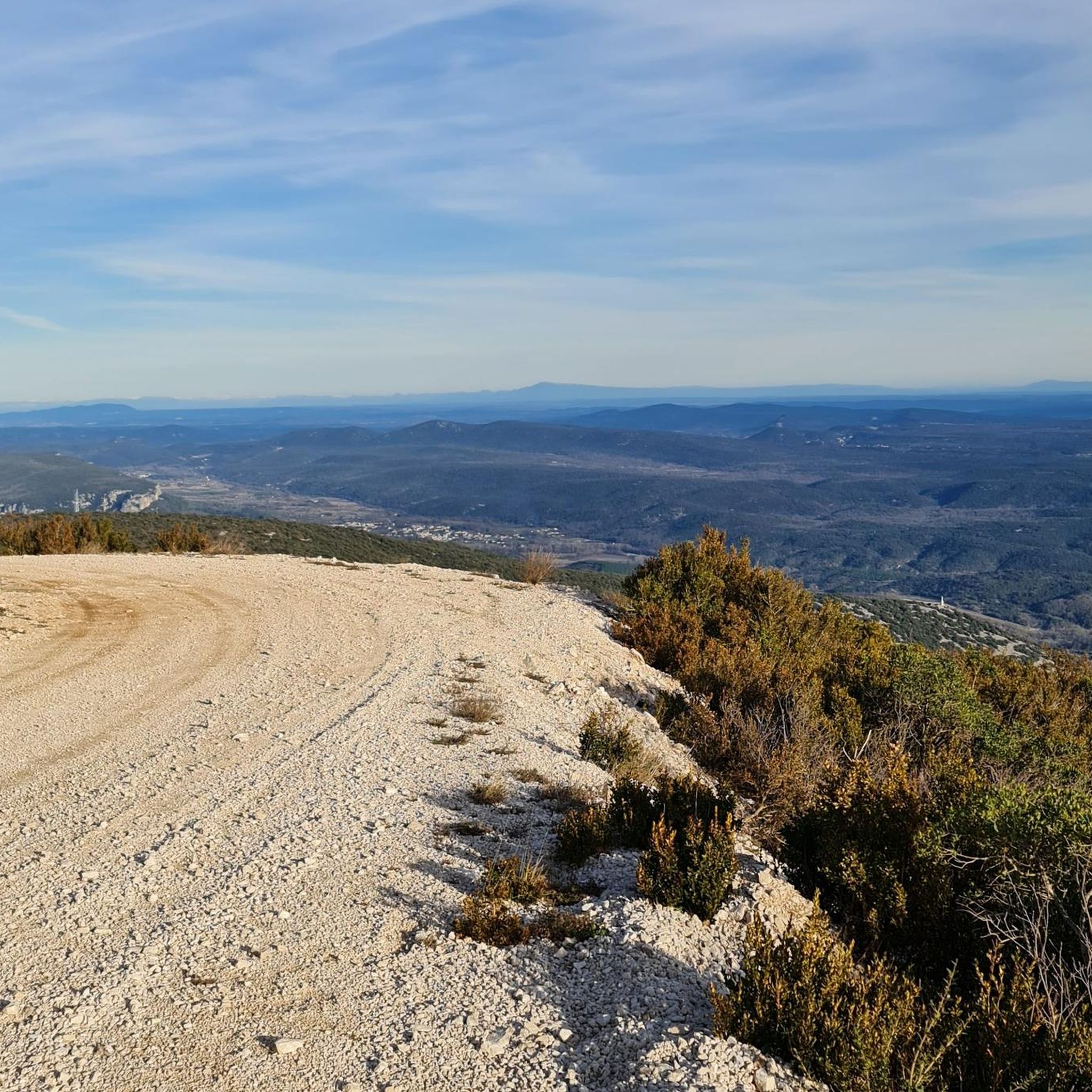
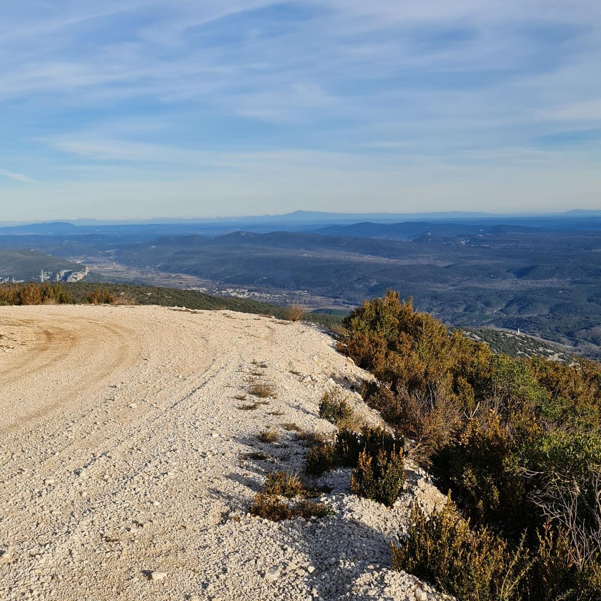
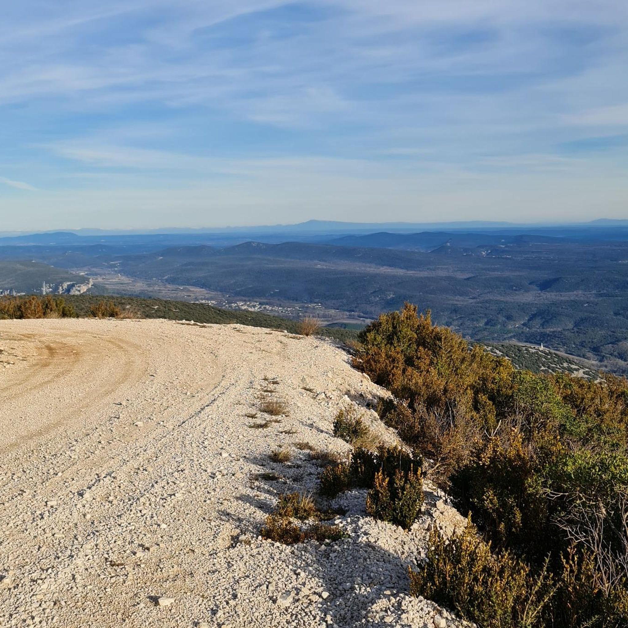
At this point, you can easily see, in the distance, the Pic Saint Loup (658m) & the Hortus (512m). You are, despite appearances, above, at about 760m altitude.
0
0
After a good quarter of an hour of fairly sharp walking, you will finally come across the large statue of the Virgin Mary. A place that already offers you a beautiful view, and a place where you can meditate quietly, provided that you do not come across a group that is only chatting!
2
0
Frequently Asked Questions
How many running routes are available in Saint-André-De-Buèges?
There are over 110 running routes around Saint-André-De-Buèges, offering a wide variety of options for different skill levels. The komoot community has explored these trails over 1200 times.
Are there any easy jogging routes for beginners in Saint-André-De-Buèges?
While many routes in the region are challenging, there are a few easier options available. You can find a selection of routes suitable for beginners, though they are less numerous than the moderate or difficult trails.
What are the typical lengths and durations of running trails in Saint-André-De-Buèges?
Running trails in Saint-André-De-Buèges vary significantly in length and duration. For example, the Peyre Martine Trail is about 16.1 km (10.0 miles) and takes around 2 hours 11 minutes, while the Peyre Martine – Source of the Buèges loop from Saint-André-de-Buèges is a much longer 44.4 km (27.6 miles) route.
Are there challenging running routes for experienced runners in the area?
Yes, Saint-André-De-Buèges is well-suited for experienced runners looking for a challenge. Nearly half of the available routes, 49 to be exact, are graded as difficult. These often feature significant elevation gains through the local limestone hills, such as the Roc Blanc and Montagne de la Séranne Trail.
What kind of terrain can I expect on the jogging routes around Saint-André-De-Buèges?
The terrain around Saint-André-De-Buèges is characterized by limestone hills, deep valleys, and natural springs. Runners can expect varied surfaces, including rocky paths and sections through Mediterranean vegetation, offering a diverse running experience.
Are there any loop jogging trails in Saint-André-De-Buèges?
Yes, many of the running routes in the region are loops. An example is the Peyre Martine – Source of the Buèges loop from Saint-Jean-de-Buèges, which takes you through valleys and near natural springs.
What do other runners say about the trails in Saint-André-De-Buèges?
The running routes in Saint-André-De-Buèges are highly rated by the komoot community, with an average score of 4.3 stars from over 40 reviews. Runners often praise the varied terrain and the opportunities to explore the region's geological formations.
Can I find any scenic viewpoints or natural attractions along the running routes?
Absolutely. The region offers several natural attractions. You might encounter caves like grotte-abri du Lamalou n°2 or Anjeau Cave. The area also features impressive gorges, such as the Cirque de Navacelles, which offers stunning views.
Are there any specific routes that offer views of the Montagne de la Séranne?
Yes, the Roc Blanc and Montagne de la Séranne Trail is specifically known for offering views across the Montagne de la Séranne, with sections that include challenging ascents.
What kind of natural features define the running landscape of Saint-André-De-Buèges?
The running landscape of Saint-André-De-Buèges is defined by its distinctive limestone hills, picturesque valleys, and numerous natural springs. These features contribute to the varied and engaging terrain found on the trails.
Are there any particularly long-distance running options for endurance training?
For those seeking longer distances, the Peyre Martine – Source of the Buèges loop from Saint-André-de-Buèges stands out. This challenging route covers approximately 44.4 km (27.6 miles) and involves significant elevation, making it suitable for endurance training.
Most popular routes around Saint-André-De-Buèges
Most popular attractions around Saint-André-De-Buèges

Get inspired with the komoot mobile app


Explore more
Browse the best Running Trails & Routes in other regions.
