The best walks and hikes around Valflaunès
4.4
(1287)
9,685
hikers
25
hikes
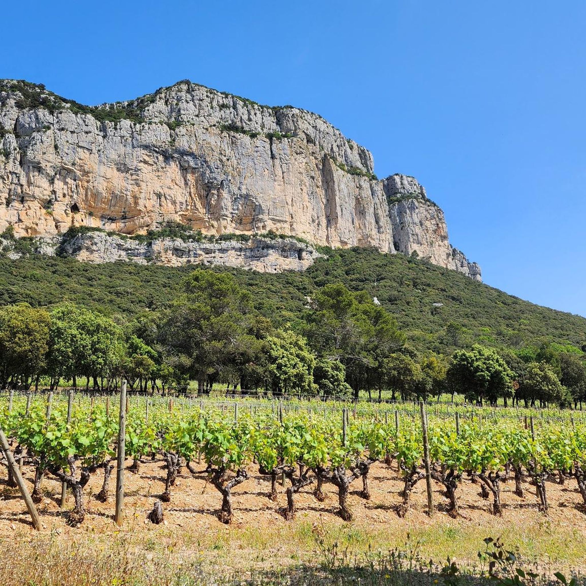
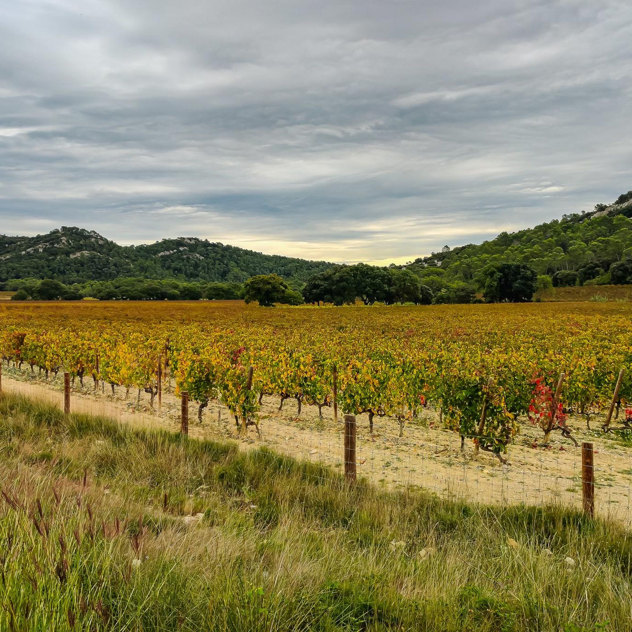
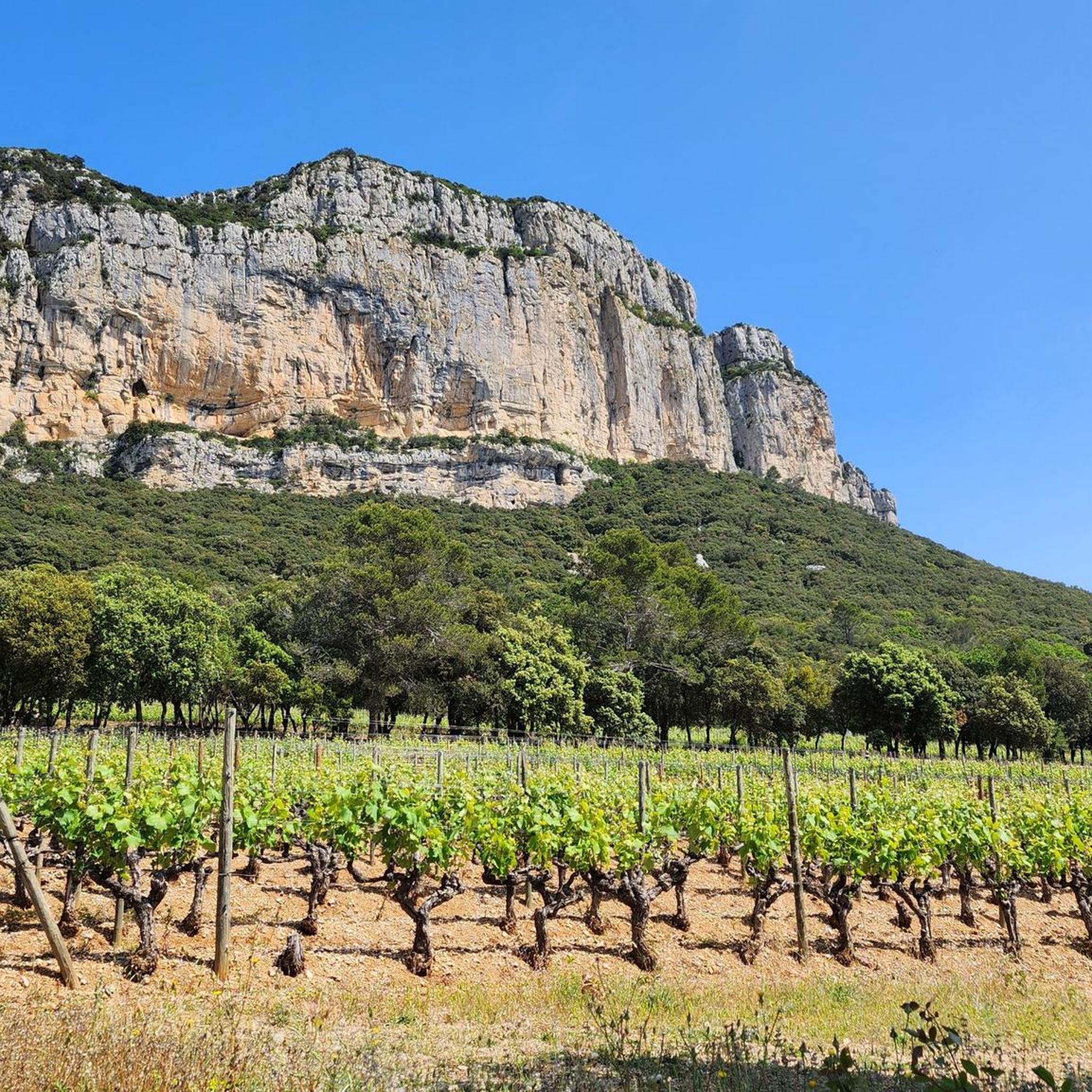
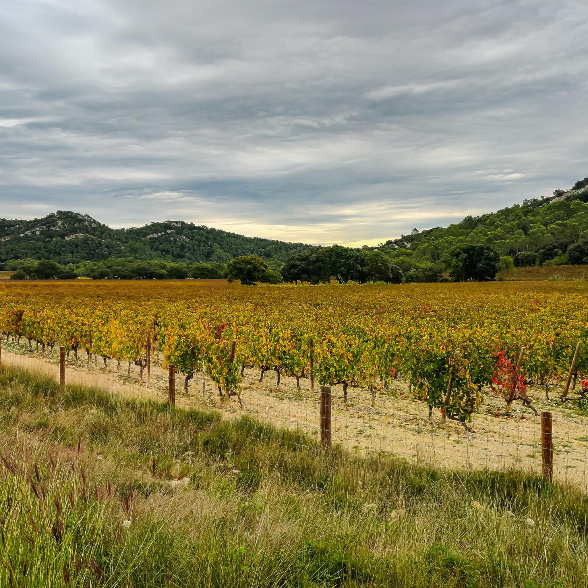
Hiking around Valflaunès offers diverse terrain shaped by the limestone formations of Pic Saint-Loup and Hortus. The region features fragrant garrigue, extensive vineyards, and impressive limestone cliffs and gorges. Riverbeds and springs also contribute to the varied landscape, providing distinct natural features for exploration.
Best hiking trails in Valflaunès
- The most popular hiking route is Corniche de l'Hortus Loop, a 6.6 miles (10.6 km) trail that takes 3 hours 8 minutes to complete. This moderate route explores the Hortus…
Last updated: June 23, 2026
3.8
(63)
308
hikers
10.6km
03:08
300m
290m
Hike the moderate Corniche de l'Hortus loop for 6.6 miles, gaining 977 feet, with panoramic views and historic castle ruins.
4.3
(15)
63
hikers
6.81km
02:13
290m
290m
Moderate hike. Good fitness required. Easily-accessible paths. Suitable for all skill levels.

Sign up for free
27
hikers
Hard hike. Good fitness required. Sure-footedness, sturdy shoes and alpine experience required.
4.3
(12)
57
hikers
5.63km
01:49
230m
230m
Easy hike. Great for any fitness level. Easily-accessible paths. Suitable for all skill levels.
3.8
(4)
38
hikers
Hard hike. Good fitness required. Sure-footedness, sturdy shoes and alpine experience required.
Get access to more routes and recommendations from other explorers.
Sign up for free
Already have an account?
Our route recommendations are based on thousands of hikes, rides, and runs completed by other people on komoot.
Start today with a free account
Your next adventure awaits.
Login or Signup
Tips from the Community

A very beautiful route, the only drawback being that it's extremely popular, being close to Montpellier. There are several variations ranging from 7 to 25 km.
0
2

This path is complicated, difficult level
1
0

Superb hike with very beautiful panoramas but indeed quite demanding because the path is very rocky in places and with some passages on the edge of cliffs. Hiking shoes necessary +++ I would also advise against going with young children. I agree with the previous comment on the first part because in fact the route takes us onto private property which is painful for the people who live there because we actually pass through their garden and then onto a private road.
0
0
Be careful, the first loop is not easy with a not very maintained path, difficult to follow and lots of rocks. It took us a good hour to get to the crossroads and we didn't continue. On the other hand, the return on the 2nd loop was very easy and pleasant (15 mins)
0
1

The start between the start at and stage 1 is poorly marked and the route passes through private property. Homeowners are tired of komoot hikers passing through their garden
5
0

Great hike, not too long nor too short. Magnificent little singles. Eat at the top and return via the Chateau de La Roquette. A repeat without hesitation
0
0

Up to what age can you go as a good beginner?
1
2

Imposing ruins, it is hard to imagine the work to transport the materials and build these buildings 🥵
0
0
Frequently Asked Questions
How many hiking trails are available around Valflaunès?
There are 20 hiking routes available on komoot around Valflaunès. These include 8 easy, 7 moderate, and 5 difficult trails, offering options for various skill levels.
What kind of terrain can I expect on hikes around Valflaunès?
The terrain around Valflaunès is diverse, characterized by the dramatic limestone formations of Pic Saint-Loup and Hortus. You'll encounter fragrant garrigue, extensive vineyards, impressive limestone cliffs, and gorges. Some routes, like those in the Ravin des Arcs, feature rocky riverbeds, while others offer clear water streams and panoramic views from mountain summits.
Are there any easy hiking options suitable for beginners in Valflaunès?
Yes, Valflaunès offers 8 easy hiking routes. An example is the Hortus Summit – Viviourès Castle loop from Pic Saint-Loup, which is 3.5 miles (5.6 km) long and provides a less strenuous way to explore the area's natural beauty and historical sites.
What natural features or landmarks can I see along the hiking trails?
Hikers can explore several notable natural features. The iconic Summitof Saint-Loup offers exceptional 360-degree panoramas. The Hortus Summit provides views of its impressive limestone cliff. The Ravin des Arcs features a canyon carved by the Lamalou river with unique rock formations. You can also find extensive vineyards and fragrant garrigue throughout the region.
Are there any circular hiking routes in Valflaunès?
Yes, many of the trails around Valflaunès are circular. For instance, the popular Corniche de l'Hortus Loop is a 6.6-mile (10.6 km) circular route exploring the Hortus mountain. Another option is the Hortus Summit – Viviourès Castle loop from Valflaunès, which combines natural scenery with historical elements.
What historical sites or castles can I visit while hiking in the area?
The region is rich in history. You can encounter the ruins of Viviourès Castle, a medieval fortress perched on the Hortus cliffs, along routes like the Hortus Summit – Viviourès Castle loop from Valflaunès. Other historical sites include the ruins of the Tours de Salles and the site of Montferrand Castle.
What is the best time of year to go hiking in Valflaunès?
Valflaunès is enjoyable for hiking throughout much of the year. Spring and autumn offer pleasant temperatures and vibrant landscapes, with the garrigue in bloom or vineyards changing colors. While summer can be hot, early mornings are suitable. Winter hiking is possible, but some riverbed routes, like the Ravin des Arcs, may be impassable due to water levels.
Is Valflaunès a good base for exploring other attractions in the Hérault department?
Yes, Valflaunès serves as an excellent base for exploring the wider Hérault department. Nearby attractions include Saint-Guilhem-le-Désert, recognized as one of France's most beautiful villages, and the ancient Pont du Diable. The Grotte des Demoiselles, a notable natural cave system, is also within reach.
What do other hikers enjoy most about hiking in Valflaunès?
The komoot community highly rates the hiking experience in Valflaunès, with an average score of 4.4 stars from over 1,100 reviews. Hikers often praise the diverse terrain, from challenging ascents to the stunning panoramic views from Pic Saint-Loup and Hortus, as well as the unique blend of natural beauty and historical sites.
Are there any specific viewpoints worth seeking out on the trails?
Absolutely. The summit of Pic Saint-Loup offers an exceptional 360-degree panorama, stretching from the sea to the Cévennes. You can also find excellent vantage points like View of Pic Saint-Loup and the Hortus and View of Pic Saint-Loup and L'Hortus from La Suque, providing iconic perspectives of the region's limestone giants.
Where can I find more information about the Valflaunès region?
For additional information about the village and its surroundings, you can visit the official tourism website: grandpicsaintloup-tourisme.fr.
Most popular routes around Valflaunès
Most popular attractions around Valflaunès

Get inspired with the komoot mobile app


Explore more
Browse the best Hikes in other regions.
