The best road cycling routes around Préaux-Bocage
4.4
(119)
3,021
riders
190
rides
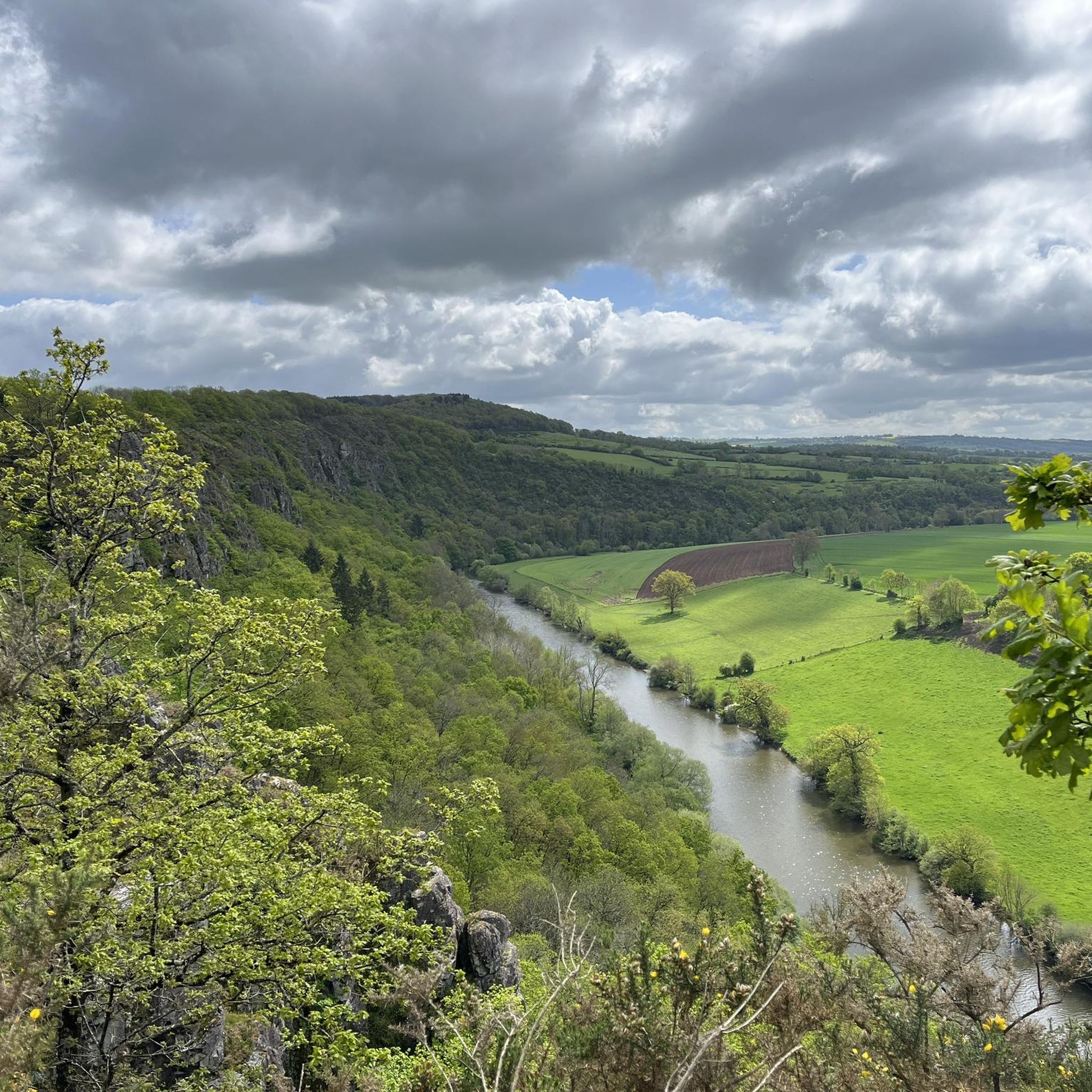
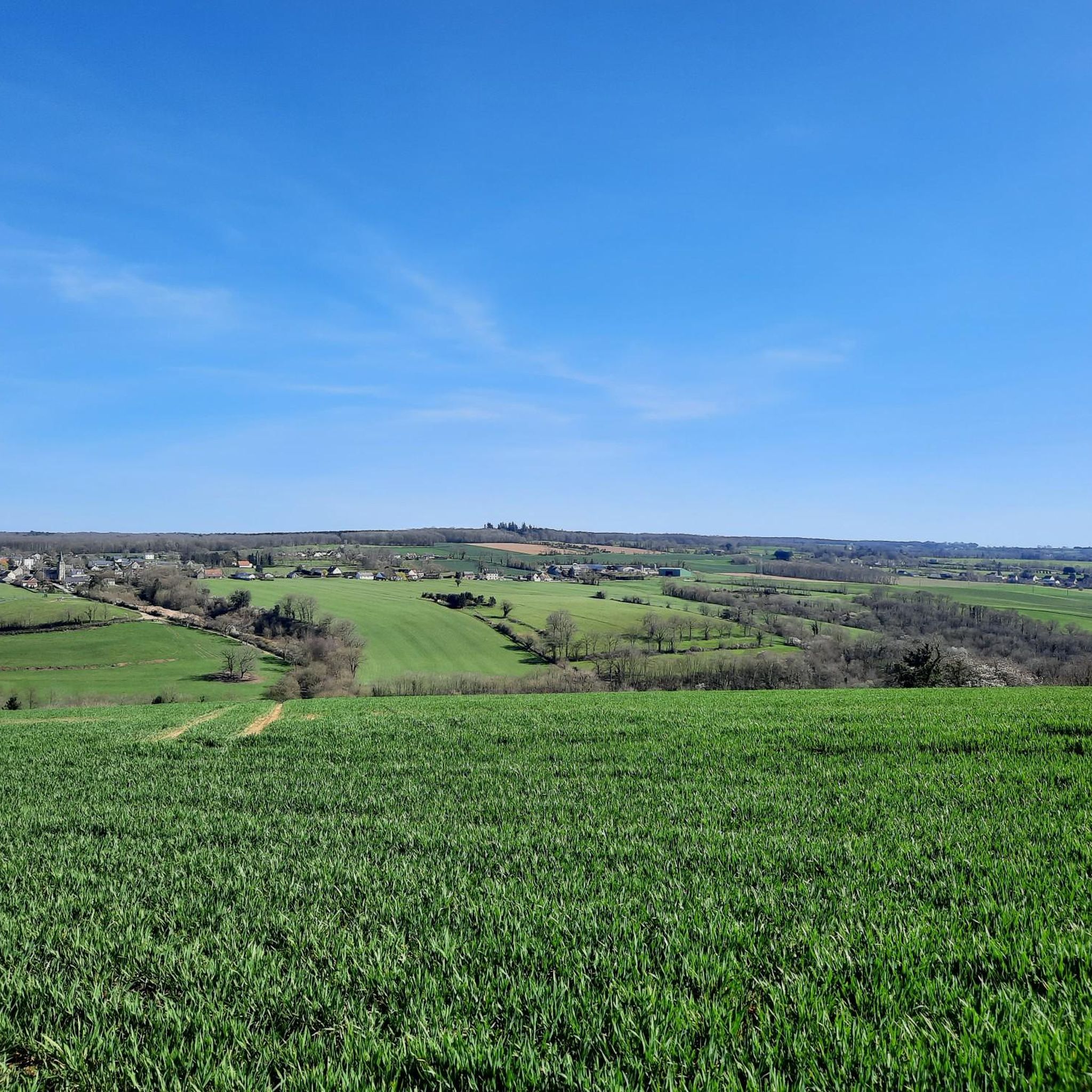
Road cycling around Préaux-Bocage is characterized by its distinctive "bocage Normand" landscape, featuring hedgerow farmland and sunken lanes. The region borders "Suisse Normande," which introduces more rugged and hilly terrain with granite formations and river valleys. Elevations in the area range from 73 to 173 meters, providing undulating hills rather than flat plains. Several streams, including the Ruisseau de Flagy, traverse the area, and nearby forests like the Forêt de Grimbosq offer additional scenic routes.
Best road cycling routes around…
Last updated: July 11, 2026
47
riders
86.3km
03:38
630m
630m
Moderate road ride. Good fitness required. Mostly well-paved surfaces and easy to ride.
3.5
(2)
23
riders
23.3km
01:12
350m
350m
Moderate road ride. Good fitness required. Mostly well-paved surfaces and easy to ride.

Sign up for free
11
riders
73.4km
03:20
840m
840m
Moderate road ride. Good fitness required. Mostly well-paved surfaces and easy to ride.
11
riders
80.3km
03:33
720m
720m
Moderate road ride. Good fitness required. Mostly well-paved surfaces and easy to ride.
7
riders
100km
04:10
560m
560m
Moderate road ride. Good fitness required. Mostly well-paved surfaces and easy to ride.
Get access to more routes and recommendations from other explorers.
Sign up for free
Already have an account?
Our route recommendations are based on thousands of hikes, rides, and runs completed by other people on komoot.
Start today with a free account
Your next adventure awaits.
Login or Signup


Tips from the Community

Very pretty little road that winds between Reviers and Fontaine-Henry, bordered in places by the river "La Mue". Very beautiful bucolic place with the arrival in Fontaine-Henry and its old stones including the castle.
0
0

For those who are fond of mountainous landscapes in Normandy: the Suisse Normande.
0
0

Wonderful section to drive through beautiful nature
0
0


you can pass over it by taking the road to St Denis de Méré
0
0

In memory of the cruelties of war
0
0

Nice memorial to 6th Airborne Div and 13th and 18th Royals Hussars
1
0

Frequently Asked Questions
What kind of terrain can I expect on road cycling routes in Préaux-Bocage?
Road cycling in Préaux-Bocage offers a diverse landscape. You'll primarily experience the distinctive "bocage Normand" with its hedgerow farmland and sunken lanes, providing a picturesque and intimate cycling experience. Additionally, the region borders "Suisse Normande," which introduces more rugged and hilly terrain with granite formations and river valleys, offering challenging climbs and descents. Elevations range from 73 to 173 meters, ensuring undulating hills rather than flat plains.
How many road cycling routes are available around Préaux-Bocage?
There are over 180 road cycling routes available around Préaux-Bocage, catering to various fitness levels. The komoot community has explored these routes extensively, with over 2,300 road cyclists using komoot to discover the area's varied terrain.
Are there challenging road cycling routes in Préaux-Bocage?
Yes, Préaux-Bocage offers challenging road cycling routes, particularly as you approach the "Suisse Normande" area. For example, the Le Bessin – Charming panorama loop from Sainte-Honorine-du-Fay features significant elevation gain, while the Le Mont Pinçon – Le Pont de la Mousse loop from Le Houx also includes substantial climbs, making them suitable for experienced cyclists.
What natural features will I encounter on road cycling routes in Préaux-Bocage?
You'll primarily cycle through the verdant "bocage Normand" landscape, characterized by its traditional hedgerow farmland and sunken lanes. Routes also traverse river valleys carved by streams like the Ruisseau de Flagy, and you can find scenic sections through nearby forests such as the Forêt de Grimbosq. The rugged granite formations of "Suisse Normande" also contribute to the natural diversity.
Are there any notable landmarks or attractions along the cycling routes?
While cycling, you might pass by interesting points such as the Sainte-Anne Viaduct. Other nearby attractions include the historic Château d'Harcourt and the Former mine at May-sur-Orne, offering glimpses into the region's heritage.
When is the best time of year for road cycling in Préaux-Bocage?
The spring and summer months generally offer the most favorable conditions for road cycling in Préaux-Bocage, with milder weather and longer daylight hours. The tree-lined roads of the "bocage" provide some shade during warmer periods. However, the region's natural beauty can be enjoyed across multiple seasons.
What do other road cyclists enjoy most about road cycling in Préaux-Bocage?
The area is highly rated by the komoot community, with an average score of 4.1 stars from over 70 reviews. Reviewers often praise the distinctive "bocage Normand" landscape, the varied terrain that includes both rolling hills and more challenging climbs, and the overall scenic beauty of the routes through forests and river valleys.
Are there family-friendly road cycling routes in Préaux-Bocage?
While many routes in Préaux-Bocage feature undulating terrain, there are easier options available. The region offers 20 routes classified as 'easy' which might be more suitable for families or those seeking a less strenuous ride. It's always recommended to check the route's elevation profile and distance before setting out.
Is parking available for cyclists in Préaux-Bocage?
While specific dedicated cycling parking areas are not extensively detailed, Préaux-Bocage and its surrounding villages typically offer public parking options. Many local accommodations also recognize the area's appeal to cyclists and provide amenities like secure bicycle storage.
Can I reach Préaux-Bocage by public transport for cycling?
Préaux-Bocage is a small commune, and direct public transport links might be limited. It's advisable to check regional bus services or train connections to larger nearby towns like Caen, and then consider local transport or cycling the remaining distance. Planning your journey in advance is recommended.
Are there any circular road cycling routes in Préaux-Bocage?
Yes, many of the road cycling routes in Préaux-Bocage are designed as loops, allowing you to start and finish at the same point. Examples include the Route des Marais – Brécy Castle Gardens loop from Sainte-Honorine-du-Fay and the Saint-Clair Church – It's going up loop from Montillières-sur-Orne, offering convenient circular options.
Are road cycling routes in Préaux-Bocage suitable for cycling with a dog?
Road cycling routes are generally designed for speed and efficiency on paved surfaces, which may not be ideal for cycling with a dog, especially if they are running alongside. For activities with dogs, off-road trails or dedicated walking paths are usually more suitable and safer. Always prioritize your pet's safety and local regulations.
Most popular routes around Préaux-Bocage
Most popular attractions around Préaux-Bocage

Get inspired with the komoot mobile app


Explore more
Browse the best Road cycling routes in other regions.
