The best cycling routes around Bärenthal
4.5
(3190)
16,238
riders
297
rides
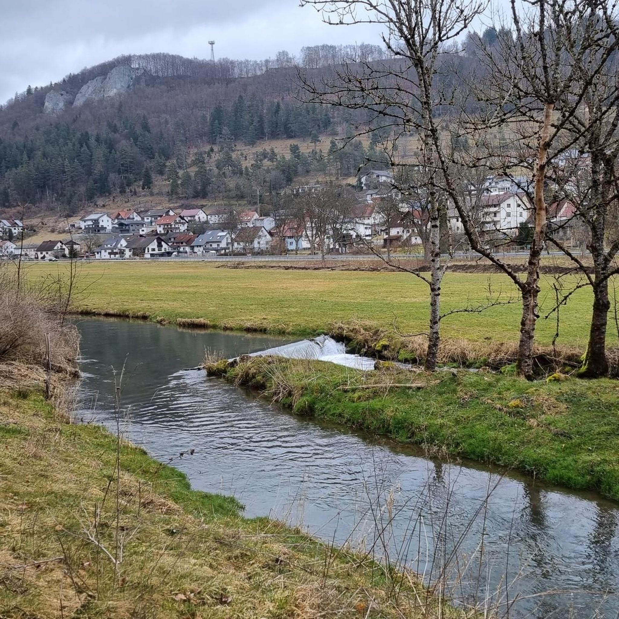
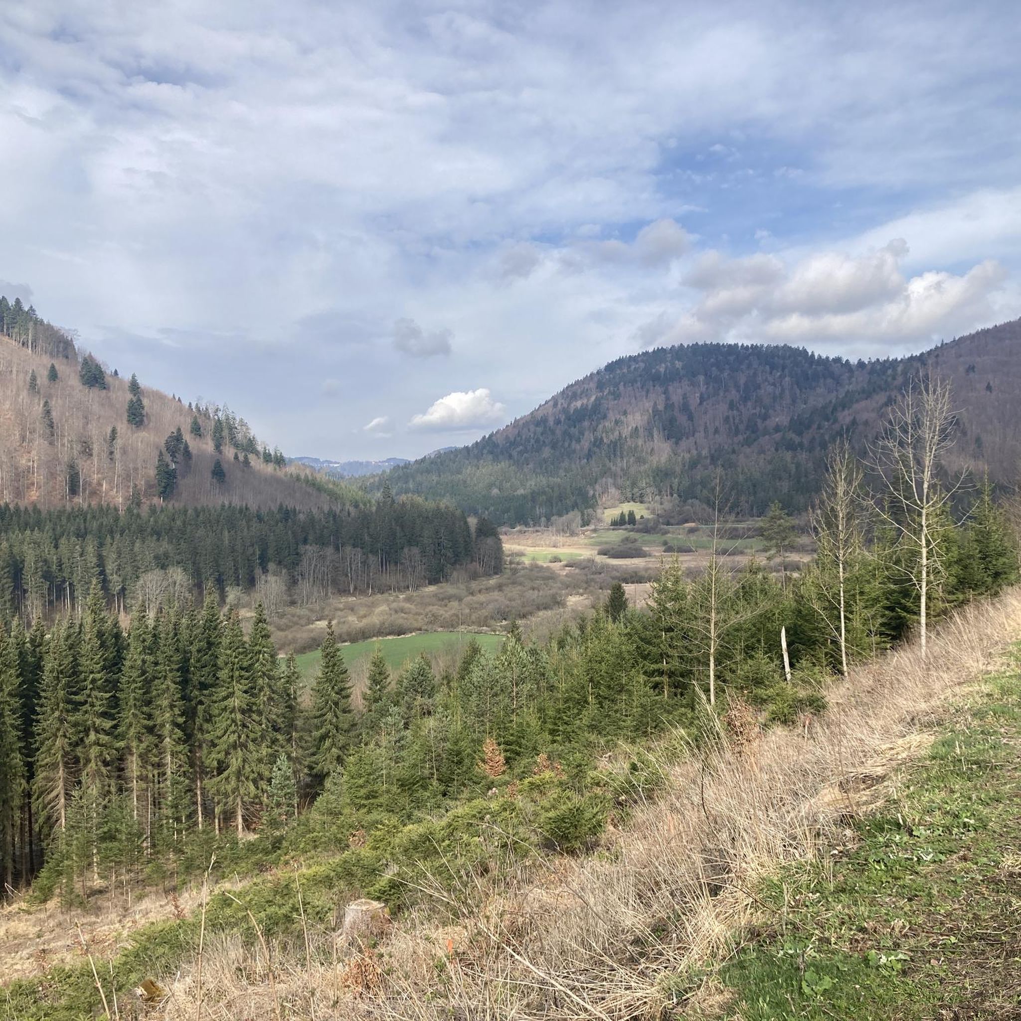
Touring cycling routes around Bärenthal are set within a landscape characterized by green meadows, dense forests, and clear rivers, situated at the foot of the Black Forest. The region's varied terrain includes gentle riverside paths along the Danube and Bära rivers, as well as more challenging routes through the Black Forest foothills. This geographical diversity provides a range of cycling experiences, from scenic, flatter routes to more strenuous explorations with significant elevation changes.
Best touring cycling routes around Bärenthal
- The…
Last updated: July 4, 2026
4.7
(64)
212
riders
57.4km
03:40
600m
600m
Hard bike ride. Very good fitness required. Mostly paved surfaces. Suitable for all skill levels.
4.6
(23)
98
riders
27.1km
01:56
410m
410m
Moderate bike ride. Good fitness required. Mostly paved surfaces. Suitable for all skill levels.

Sign up for free
4.4
(15)
72
riders
44.7km
03:00
590m
590m
Hard bike ride. Very good fitness required. Mostly paved surfaces. Suitable for all skill levels.
4.6
(18)
78
riders
Moderate bike ride. Good fitness required. Mostly paved surfaces. Suitable for all skill levels.
4.7
(9)
37
riders
19.0km
01:13
170m
170m
Moderate bike ride. Good fitness required. Mostly paved surfaces. Suitable for all skill levels.
Get access to more routes and recommendations from other explorers.
Sign up for free
Already have an account?
Our route recommendations are based on thousands of hikes, rides, and runs completed by other people on komoot.
Start today with a free account
Your next adventure awaits.
Login or Signup
Tips from the Community

The Schlichemtalsperre (also Schömberger Stausee, usually just called Stausee locally) east of Schömberg in Baden-Württemberg dams the Schlichem, a tributary of the Neckar coming from the Swabian Jura. The 90.6-hectare Schömberger Stausee mit Palmbühl landscape protection area surrounds the Schlichemtalsperre. The approximately 1.35 km long and initially narrow reservoir, which widens to about 175 m towards the end, with an area of 10.4 hectares at 643.8 m above sea level, begins at the hamlet of Untere Säge and extends to the old town center of Schömberg. It has a catchment area of approximately 33.5 km², to which the Schlichem, which is already over 11 km long at the inflow, contributes almost 90%. The Hölzlegraben from the forest to the right of the lake and the Scheubühlgraben and Räßentälebach from the left flow into it. From the Vorsee forebay near the Untere Säge, a fish ladder leads to the reservoir. There is also the only bridge over the lake that can be walked and driven on. The Schlichem Viaduct can only be used by the railway. The Schlichemtalsperre was built between 1940 and 1944. The Portlandzementwerk Rudolf Rohrbach KG (today Holcim (Süddeutschland) GmbH) based in neighboring Dotternhausen, which was the client for the dam, initially used it for cooling water and electricity generation. An outdoor swimming pool built in 1935 was flooded. After the Second World War, the facility was taken over by the state of Württemberg-Hohenzollern in 1948. The reservoir was renovated from 1975 to 1983. The dam is an earth dam, and the hydropower plant within it has a capacity of 60 kW. There is a forebay, the Vorsee, which was built from 1975 to 1977. Source: https://de.wikipedia.org/wiki/Schlichemtalsperre
3
0

Opening hours have changed: Closed Mondays and Fridays, otherwise daily from 11:00 AM to 8:00 PM. From November 17th to February 8th, open only Saturdays and Sundays!
2
1
A stop for a bite to eat is definitely worth planning. Good food, very friendly service, and delicious. The cooking here is done with love.
6
1

Schömberger Reservoir
1
0

Great descent. Maybe I'll go up there sometime...
0
0

Beautiful half-timbered houses, some beautifully restored
1
0

Take a break at the "Verschnaufbänkle" next to the self-service machine with chilled drinks and snacks 👍
0
0
Frequently Asked Questions
How many touring cycling routes are there in Bärenthal?
Bärenthal offers a wide selection of touring cycling routes, with over 300 available to explore. These routes cater to various skill levels, including easy, moderate, and difficult options.
What is the best time of year for touring cycling in Bärenthal?
The most pleasant time for touring cycling in Bärenthal is typically between spring and autumn. During these seasons, the weather is mild, making for ideal conditions to enjoy the region's landscapes.
What kind of terrain can I expect on touring cycling routes in Bärenthal?
Bärenthal's touring cycling routes offer a diverse range of terrain. You can find gentle, scenic paths along the Danube and Bära rivers, characterized by green meadows and clear waters. For those seeking more challenge, routes extend into the Black Forest foothills, featuring more strenuous explorations with significant elevation changes and dense forests.
Are there any circular touring cycling routes in Bärenthal?
Yes, many touring cycling routes in Bärenthal are designed as loops, allowing you to start and finish in the same location. An example is the Beeramühle – View of the Schömberg Reservoir loop from Bärenthal, which offers views of the Schömberg Reservoir over 35.7 miles (57.4 km).
Are there family-friendly touring cycling routes in Bärenthal?
Yes, Bärenthal has several family-friendly touring cycling routes. For an easier ride suitable for families, consider the Bärenthal on the Bära River – Bära River Cycle Path loop from Bärenthal, an easy 7.8-mile (12.5 km) trail that follows the river valley.
What natural features or landscapes will I see on touring cycling routes in Bärenthal?
Touring cyclists in Bärenthal will encounter picturesque landscapes featuring verdant meadows, dense forests, and clear rivers. The area around the Danube River offers particularly magnificent views of the surrounding mountains, while the broader Black Forest region provides varied terrain and stunning vistas.
Are there any historical sites or landmarks to explore along the touring cycling routes?
Yes, Bärenthal offers cultural points of interest. You might encounter historical sites such as the 18th-century Bronnenberg Castle or charming half-timbered houses in Bärenthal's historic center. Additionally, routes like the Café Kapellenblick – Scheuerlehof Cliffs loop from Irndorfer Hardt feature notable natural landmarks such as the Scheuerlehof Cliffs.
Are there any lakes or reservoirs accessible by touring bike in Bärenthal?
Yes, the region around Bärenthal features several beautiful water bodies. You can find routes that pass by or offer views of the Oberdigisheim Reservoir. The Beeramühle – View of the Schömberg Reservoir loop from Bärenthal is one such route that provides reservoir views.
What do other touring cyclists say about the routes in Bärenthal?
The touring cycling routes in Bärenthal are highly regarded by the komoot community, holding an average score of 4.5 stars from over 2900 reviews. More than 15,000 touring cyclists have used komoot to explore the region's varied terrain, often praising the scenic beauty and diverse options available.
Are there options for parking near the touring cycling routes in Bärenthal?
While specific parking locations for each route are best checked on individual tour pages, Bärenthal, as a popular outdoor destination, generally offers parking facilities in and around the town center and at common trailheads to accommodate visitors accessing the cycling routes.
Can I access touring cycling routes in Bärenthal using public transport?
Bärenthal is part of a region with public transport options, though accessibility with bikes can vary. It's advisable to check local bus or train schedules and their policies regarding bicycle transport in advance, especially if planning to reach specific trailheads outside the main village.
Are there places to eat or stay along the touring cycling routes in Bärenthal?
Yes, Bärenthal and its surrounding villages offer various amenities for cyclists. You can find cafes, pubs, and restaurants in the historic center of Bärenthal and other charming villages along the routes. Accommodation options, including guesthouses and hotels, are also available for those planning multi-day tours.
Most popular routes around Bärenthal
Most popular attractions around Bärenthal

Get inspired with the komoot mobile app


Explore more
Browse the best Cycling routes in other regions.
