The best walks and hikes around Guiler-Sur-Goyen
4.5
(993)
6,452
hikers
205
hikes
Hiking around Guiler-Sur-Goyen offers diverse natural landscapes within Brittany's Finistère department. The region features the Goyen River valley, characterized by wild wooded moorland and tranquil riverbanks. Elevations range from 82 to 436 feet (25 to 133 meters), providing a mix of hills and valleys. Hikers can explore open countryside and wooded areas on well-maintained paths.
Best hiking trails around Guiler-Sur-Goyen
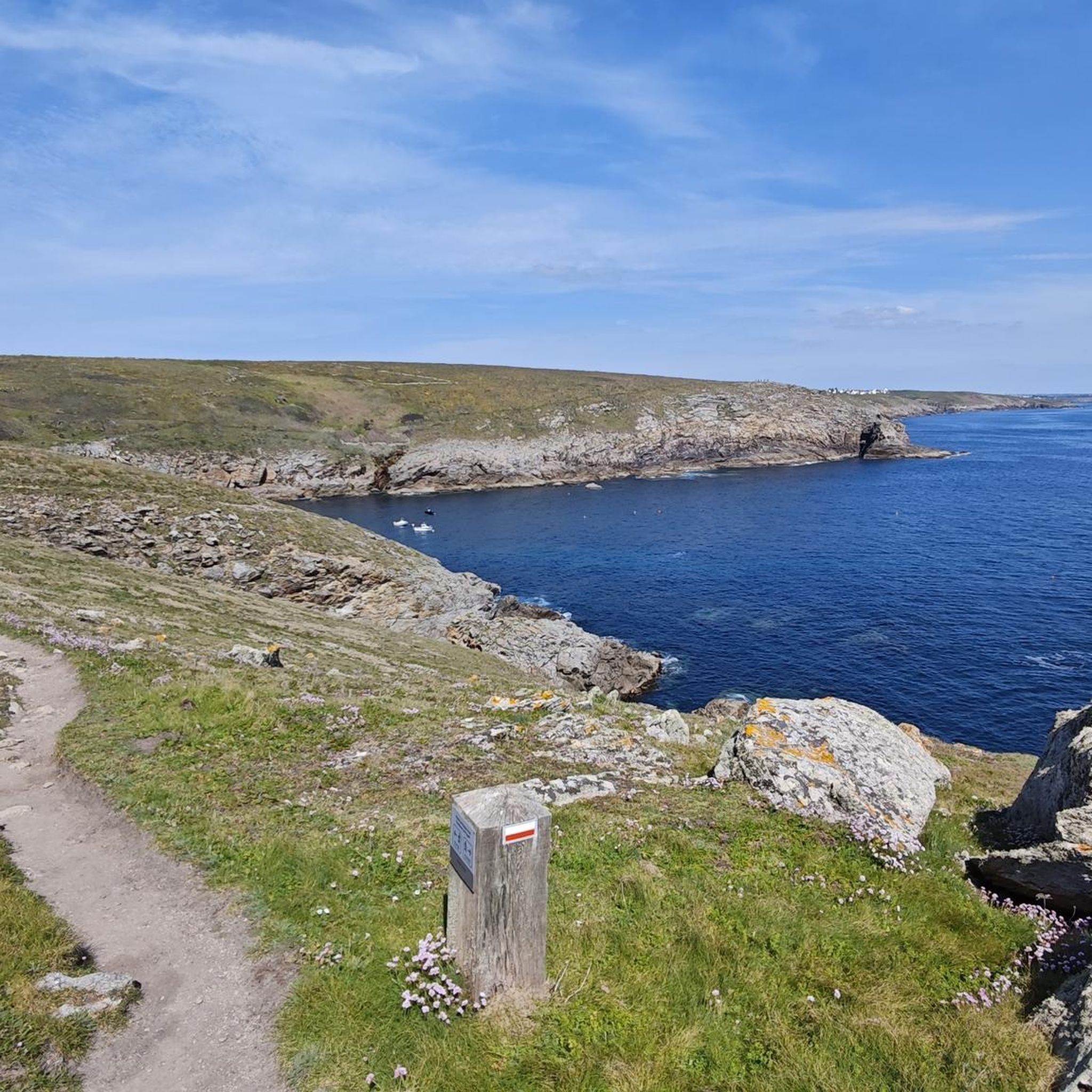
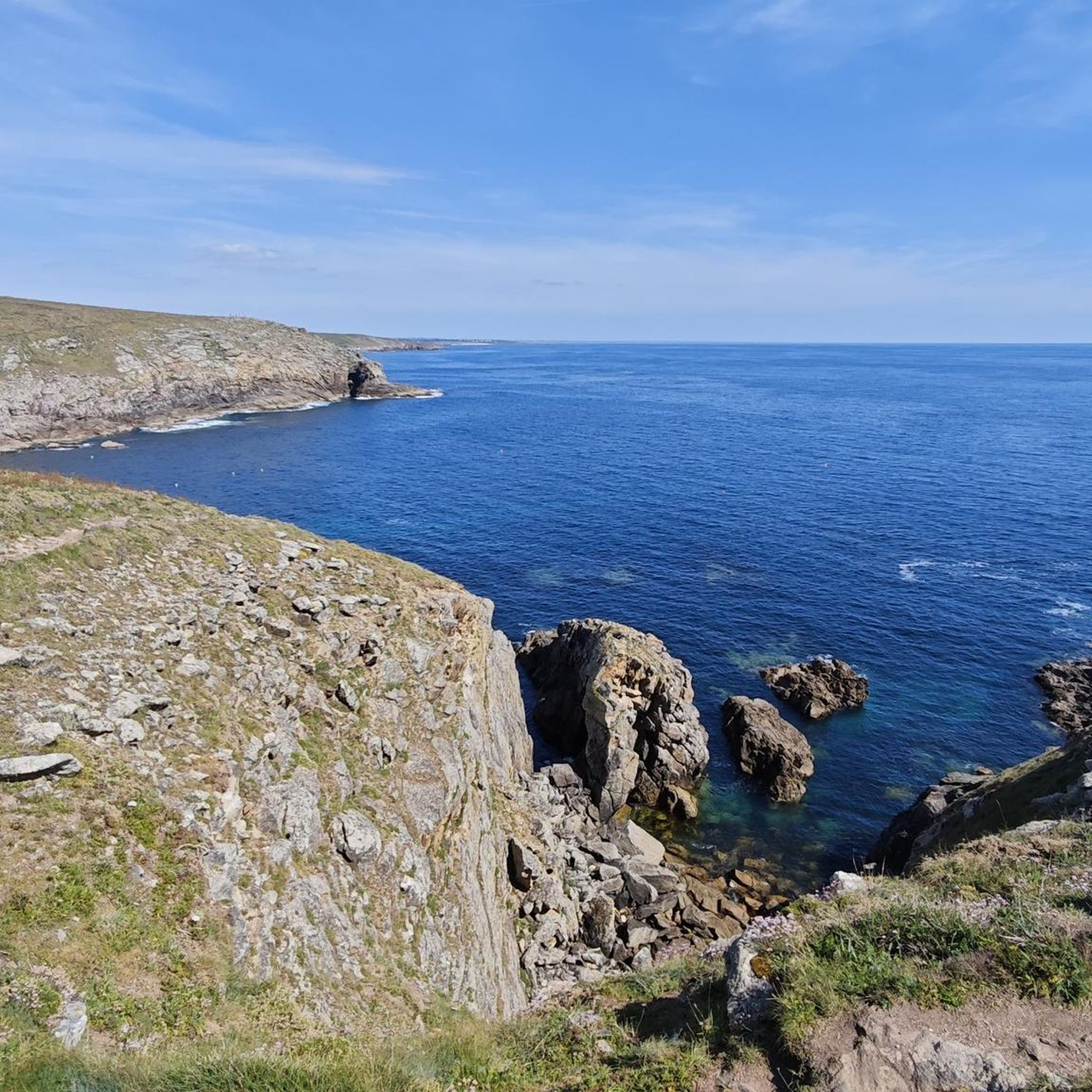
- The most popular hiking route is Gwendrez Beach – View of Audierne Bay loop from Plozévet, a difficult 15.7 miles (25.3 km) trail that takes about 6 hours 36 minutes to complete. This route offers views towards Audierne Bay.
- Another top favourite among local hikers is Endroit calme pour venir à soi – Stone Spring in the Forest loop from Landudec, an easy 3.4 miles (5.5 km) path. This trail leads through a forest setting with a stone spring.
- Local hikers also love the Chemin de la Ligne (Bon Trail) – Saint-Démet Chapel loop from Plozévet, a moderate 10.5 miles (16.9 km) trail leading through varied terrain, often completed in about 4 hours 29 minutes.
- Hiking around Guiler-Sur-Goyen is defined by the Goyen River valley, wooded moorland, and open countryside. The network offers options for different ability levels, from easy walks to more challenging routes.
- The routes in Guiler-Sur-Goyen are highly rated by the komoot community with an average score of 4.5 stars from over 800 reviews. More than 5000 hikers have used komoot to explore Guiler-Sur-Goyen's varied terrain.
Last updated: July 10, 2026
4.6
(22)
74
hikers
25.3km
06:36
180m
180m
Hard hike. Very good fitness required. Easily-accessible paths. Suitable for all skill levels.
5.0
(3)
17
hikers
Easy hike. Great for any fitness level. Easily-accessible paths. Suitable for all skill levels.

Sign up for free
4.6
(5)
16
hikers
16.9km
04:29
170m
170m
Moderate hike. Good fitness required. Easily-accessible paths. Suitable for all skill levels.
4.3
(4)
19
hikers
Moderate hike. Good fitness required. Easily-accessible paths. Suitable for all skill levels.
5.0
(2)
18
hikers
3.19km
00:49
20m
20m
Easy hike. Great for any fitness level. Easily-accessible paths. Suitable for all skill levels.
Get access to more routes and recommendations from other explorers.
Sign up for free
Already have an account?
Our route recommendations are based on thousands of hikes, rides, and runs completed by other people on komoot.
Start today with a free account
Your next adventure awaits.
Login or Signup

Tips from the Community

Thanks for sharing, is it possible to do it on a gravel bike?
0
0


No matter what time of day or weather conditions, a great trail
0
0

visit the interpretation center with free access
0
0

Bronze statues of bell ringers from the Bigouden country playing the bombarde and the biniou.
0
0
16th century chapel dedicated to Saint-Démet, who came from Wales between the 5th and 7th centuries and founder of the parish of Poe-Démet (now called Plozévet).
1
0

Small memorial for regional musicians with their traditional instruments, bombards and bagpipes.
0
0

The church can be found in the very center of Plozévet. In the courtyard there are some monuments.
0
0
Frequently Asked Questions
How many hiking trails are available around Guiler-Sur-Goyen?
There are nearly 200 hiking routes around Guiler-Sur-Goyen, offering a wide variety of options for all skill levels. This includes 97 easy trails, 92 moderate routes, and 8 more challenging hikes.
What kind of terrain can I expect on hikes in Guiler-Sur-Goyen?
The terrain around Guiler-Sur-Goyen is quite varied, featuring a blend of countryside, forests, and the scenic Goyen River valley. You'll find paths along tranquil riverbanks, through wild wooded moorland, and across open fields. Elevations range from 25 to 133 meters (82 to 436 feet), providing a mix of gentle slopes and more undulating sections.
Are there any family-friendly hiking options in Guiler-Sur-Goyen?
Yes, Guiler-Sur-Goyen offers several easy and family-friendly walks. Many trails are suitable for a leisurely outing with children. For example, the Chapelle Saint-Ronan loop from Trébrévan-Izella is an easy 3.2 km route that takes just under an hour, perfect for a family stroll.
Can I bring my dog on the hiking trails in Guiler-Sur-Goyen?
Many trails in the Guiler-Sur-Goyen area are dog-friendly, especially those through the countryside and wooded areas. The Stang Vraz Loop, a 4 km walk through woods and moorland, is specifically noted as welcoming dogs. Always ensure your dog is under control, especially near livestock or in protected natural areas.
What are some notable natural features or landmarks to look out for on the trails?
The Goyen River Valley is a central feature, with trails often following its course and passing ancient stone bridges. You can also explore wild wooded moorland and discover a stone spring on routes like the Endroit calme pour venir à soi – Stone Spring in the Forest loop from Landudec. Additionally, the region has paths connecting chapels and wind turbines, offering a mix of natural beauty and cultural discovery.
Are there any circular walks available in Guiler-Sur-Goyen?
Yes, Guiler-Sur-Goyen is known for its well-defined hiking loops. Two popular circuits starting from the village are the Stang Vraz Loop (4 km) and a longer 9 km trail that follows the Goyen River. Other circular routes include the Gwendrez Beach – View of Audierne Bay loop from Plozévet and the Chemin de la Ligne (Bon Trail) – Saint-Démet Chapel loop from Plozévet.
What do other hikers say about the trails in Guiler-Sur-Goyen?
The hiking routes in Guiler-Sur-Goyen are highly rated by the komoot community, with an average score of 4.5 stars from over 800 reviews. Hikers often praise the tranquil riverbanks, the immersion in nature provided by the wooded moorland, and the varied terrain that caters to different abilities.
Are there any attractions near Guiler-Sur-Goyen that I can visit after a hike?
Yes, Guiler-Sur-Goyen's location offers easy access to several interesting sites. You could visit the historic Languidou Chapel Ruins, explore the Port of Pors Poulhan, or discover the ancient Pointe du Souc’h Megalithic Necropolis. For a seaside experience, Penhors Beach is also just a short drive away.
What is the best time of year to go hiking in Guiler-Sur-Goyen?
Guiler-Sur-Goyen offers pleasant hiking conditions for much of the year. The calm and wooded environment makes it enjoyable in spring and autumn when the foliage is vibrant. Summer provides warmer weather for longer excursions, while the varied terrain can still be explored in milder winter conditions, offering a peaceful experience.
Are there any challenging hikes for experienced hikers?
While many trails are easy to moderate, there are options for more experienced hikers seeking a challenge. The region offers 8 difficult routes, such as the Gwendrez Beach – View of Audierne Bay loop from Plozévet. This difficult 25.3 km trail takes approximately 6 hours 36 minutes to complete and offers expansive views towards Audierne Bay.
Is there parking available at the trailheads?
While specific parking details for every trailhead are not listed, Guiler-Sur-Goyen is a commune that caters to outdoor activities. It is generally expected that parking is available near the starting points of the well-defined hiking loops that begin from the village or other local points of interest. It's always a good idea to check local signage upon arrival.
How far is Guiler-Sur-Goyen from the coast?
Guiler-Sur-Goyen is conveniently located inland but is only a short drive from the coast. Kerrest beach (Plozévet) is approximately 15 minutes away by car, and Penhors beach (Pouldreuzic) can be reached in about 20 minutes. This allows for combining hiking trips with seaside excursions.
Most popular routes around Guiler-Sur-Goyen
Most popular attractions around Guiler-Sur-Goyen

Get inspired with the komoot mobile app


Explore more
Browse the best Hikes in other regions.
