The best walks and hikes around La Canourgue
4.4
(655)
3,538
hikers
28
hikes
Hiking around La Canourgue offers diverse landscapes, situated at the foot of the Causse de Sauveterre, a vast limestone plateau. The region is characterized by deep river valleys, including the Lot and Urugne, and transitions into the foothills of the Aubrac to the north. Distinctive rock formations like the Sabot de Malpeyre and Rocher de Roqueprins provide prominent natural features and viewpoints. This area is known for its varied terrain, from arid causses to lush valleys.
Best hiking trails around…
Last updated: October 10, 2026
4.8
(9)
50
hikers
13.1km
03:46
330m
330m
Moderate hike. Good fitness required. Easily-accessible paths. Suitable for all skill levels.
4.1
(10)
44
hikers
5.52km
01:39
180m
180m
Easy hike. Great for any fitness level. Easily-accessible paths. Suitable for all skill levels.

4.8
(5)
16
hikers
6.12km
02:09
340m
340m
Moderate hike. Good fitness required. Easily-accessible paths. Suitable for all skill levels.
4.5
(4)
13
hikers
9.16km
02:35
200m
200m
Moderate hike. Good fitness required. Easily-accessible paths. Suitable for all skill levels.
5.0
(2)
10
hikers
10.6km
03:08
300m
300m
Moderate hike. Good fitness required. Easily-accessible paths. Suitable for all skill levels.
Get access to more routes and recommendations from other explorers.
Already have an account?
Our route recommendations are based on thousands of hikes, rides, and runs completed by other people on komoot.
Start today with a free account
Your next adventure awaits.

Tips from the Community


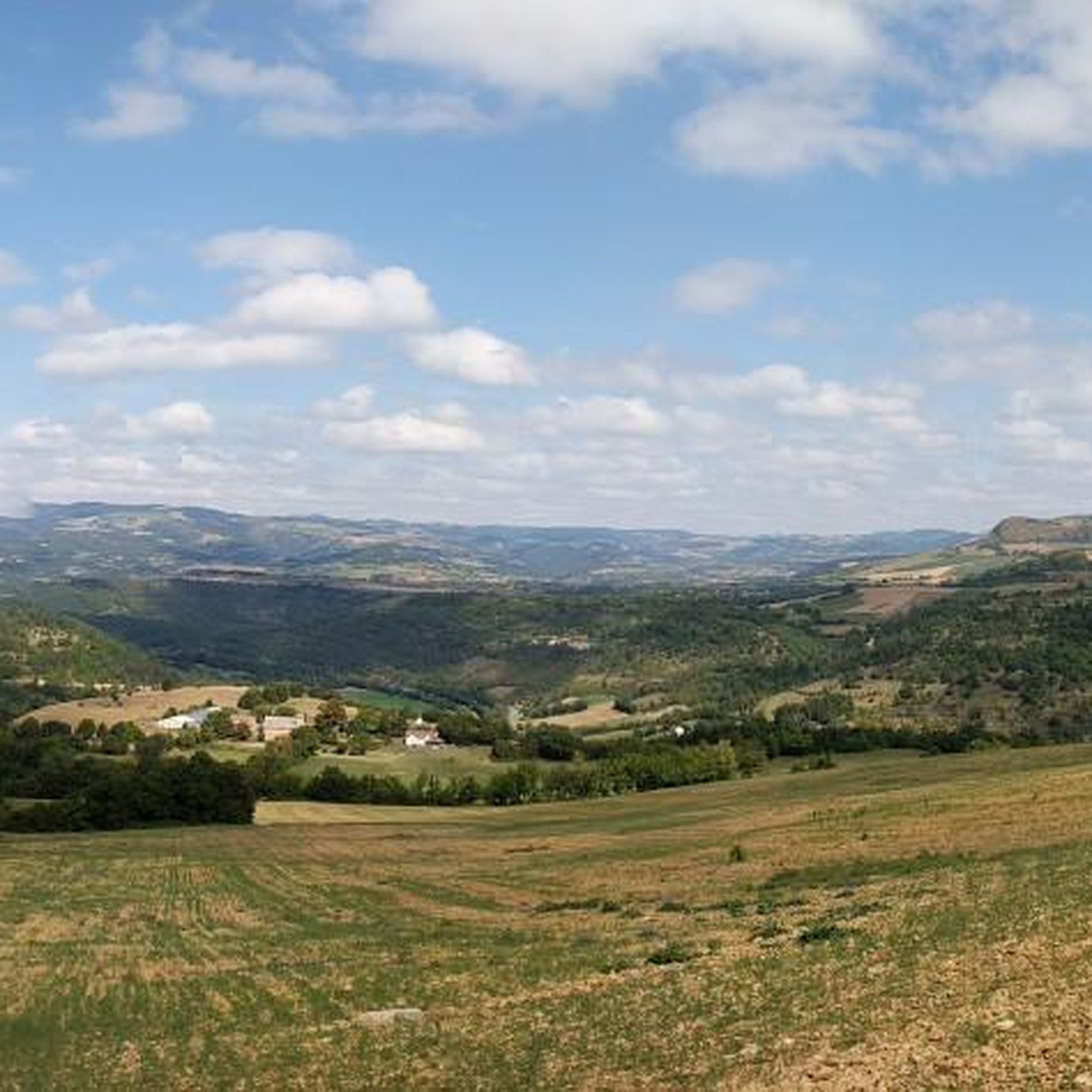
Banassac is a neighboring village of La Canourgue. The village actually bears the name of Banassac-Canilhac since it was recently attached to the neighboring town of Canilhac. The city center is very pleasant in this village which was once the second largest municipality in Lozère. Its prosperity was due to the ceramic and pottery workshops. Artisans and exhibitions perpetuate the transmission and ancestral know-how.
3
0

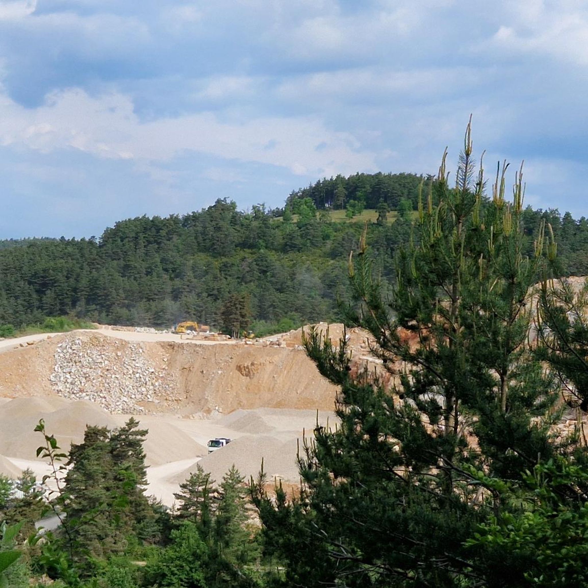
The Sabot de Malpeyre is a 30m high rock forming an arch on the heights of the Urugne valley, a few kilometers south of La Canourgue.
0
0
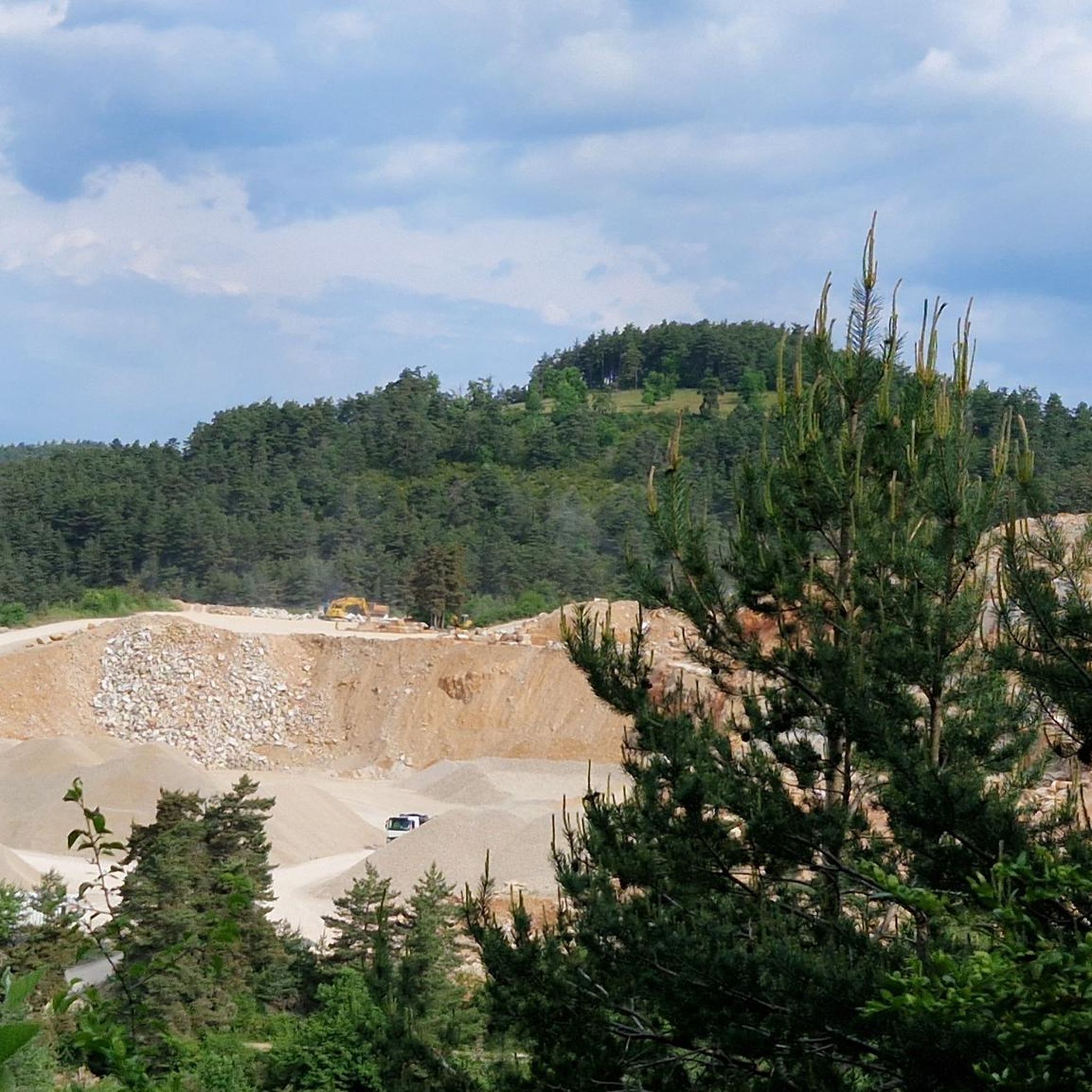
The rock of Roqueprins offers a magnificent panorama of La Canourgue and the Lot valley in the foreground, as well as the foothills of Aubrac and the Causse de Sauveterre. A monumental cross marks the site. Finally, for thrill seekers, a via ferrata also runs along the cliff.
0
0

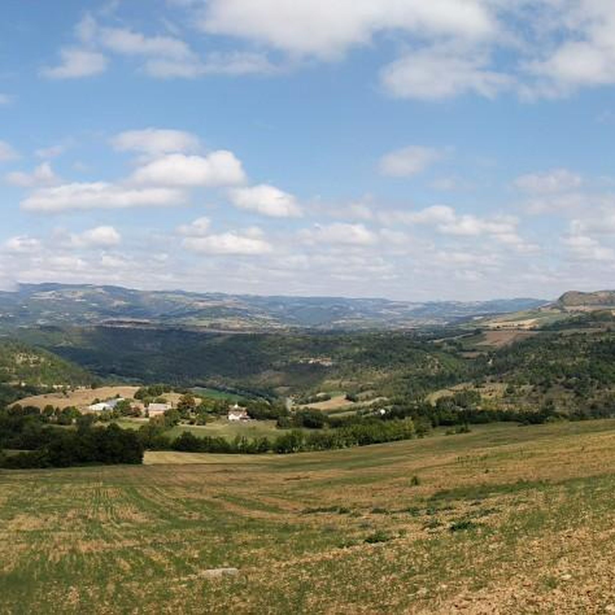
A medieval village where it is good to get lost in these alleys.
0
0
Frequently Asked Questions
How many hiking trails are available around La Canourgue?
There are over 29 hiking routes around La Canourgue, catering to various skill levels, from easy walks to more challenging ascents.
What kind of terrain can I expect on hikes in La Canourgue?
Hiking around La Canourgue offers a diverse landscape. You'll encounter the vast limestone plateaus of the Causse de Sauveterre, deep river valleys like the Lot and Urugne, and the gentler slopes of the Aubrac foothills to the north. This variety provides everything from arid, open spaces to lush, green meadows and wooded areas.
Are there any easy hiking trails suitable for beginners or families in La Canourgue?
Yes, La Canourgue offers several easy routes. For instance, the Banassac – La Canourgue loop from Banassac is an easy 3.4-mile (5.5 km) path that follows the Lot valley, providing a gentle landscape with green meadows. There are 11 easy routes in total, perfect for a relaxed outing.
What are the most notable natural features or viewpoints to see on a hike?
The region boasts several distinctive natural features. The Sabot de Malpeyre, a 30-meter high rock arch, and the Rocher de Roqueprins offer magnificent panoramas of La Canourgue and the surrounding valleys. You can explore these on routes like the Roqueprins Rock and Sabot de Malpeyre Loop. Additionally, the nearby Gorges du Tarn provide breathtaking canyon views, with several viewpoints such as Le Point Sublime.
Are there any circular hiking routes around La Canourgue?
Yes, many routes around La Canourgue are circular. A popular option is the Roqueprins Rock and Sabot de Malpeyre Loop, which is 8.1 miles (13.1 km) long. Another local favorite is the La Canourgue – Roqueprins Rock loop from La Canourgue, a 3.8-mile (6.1 km) trail.
What do other hikers enjoy most about hiking in La Canourgue?
The hiking trails in La Canourgue are highly rated by the komoot community, with an average score of 4.4 stars from over 500 reviews. Hikers frequently praise the varied terrain, from the dramatic Causses to the lush river valleys, and the impressive viewpoints like the Sabot de Malpeyre and Rocher de Roqueprins.
Can I bring my dog on the hiking trails in La Canourgue?
Generally, dogs are welcome on most hiking trails in the La Canourgue area. However, it's always advisable to keep them on a leash, especially when passing through agricultural areas, near livestock, or in protected natural zones like parts of the Causse de Sauveterre, which is a Natura 2000 network site.
What is the best time of year to go hiking in La Canourgue?
Spring and autumn are generally the best times for hiking in La Canourgue. The weather is milder, and the landscapes are particularly beautiful with spring blooms or autumn colors. Summer can be hot, especially on the exposed Causses, so early morning or late afternoon hikes are recommended then. Winter offers a different, quieter experience, though some higher trails might be affected by snow or ice.
Are there any historical or cultural points of interest along the trails?
Yes, the trails often pass through charming villages and hamlets, offering glimpses into the region's rich heritage. La Canourgue itself, known as the 'Little Venice of Lozère,' has medieval architecture and Renaissance houses. You might also encounter historical sites like the Notre-Dame de Cénaret Chapel, which is a highlight near some routes.
Are there options for more challenging hikes in the area?
While many routes are moderate or easy, more challenging options exist. The region is part of the GR de Pays Tour du Causse de Sauveterre, a long-distance circular trail spanning 160.5 km with significant elevation gain, typically taking 7 days. This offers a more demanding experience for experienced hikers.
Is there parking available at the trailheads?
Parking is generally available in and around La Canourgue, and at the starting points of many popular trails. Specific parking details can often be found on individual route pages on komoot, but village centers and designated outdoor activity areas usually provide facilities for hikers.
Most popular routes around La Canourgue
Most popular attractions around La Canourgue

Get inspired with the komoot mobile app


Explore more
Browse the best Hikes in other regions.
