The best road cycling routes around Marcilly-En-Gault
5.0
(1)
100
riders
22
rides
Road cycling routes around Marcilly-En-Gault traverse the Sologne region, characterized by its generally flat to gently undulating terrain. This area features extensive dense forests, numerous wetlands and ponds, and quiet roads connecting charming villages. Cyclists can expect routes that offer shaded sections through woodlands and scenic views of the region's natural water features. The minimal elevation changes make it accessible for various fitness levels.
Best road cycling routes around Marcilly-En-Gault
- The most popular road cycling route is Old market hall…
Last updated: July 13, 2026
11
riders
83.9km
04:13
260m
260m
Moderate road ride. Good fitness required. Some segments of this route may be unpaved and difficult to ride.
8
riders
50.0km
01:55
140m
140m
Easy road ride. Great for any fitness level. Mostly well-paved surfaces and easy to ride.

Sign up for free
10
riders
104km
04:12
340m
340m
Moderate road ride. Good fitness required. Mostly well-paved surfaces and easy to ride.
5
riders
50.6km
01:57
160m
160m
Easy road ride. Great for any fitness level. Mostly well-paved surfaces and easy to ride.
5.0
(1)
5
riders
40.7km
01:36
90m
90m
Easy road ride. Great for any fitness level. Mostly well-paved surfaces and easy to ride.
Get access to more routes and recommendations from other explorers.
Sign up for free
Already have an account?
Our route recommendations are based on thousands of hikes, rides, and runs completed by other people on komoot.
Start today with a free account
Your next adventure awaits.
Login or Signup


Tips from the Community

Warning: road closed after 3-4km in August 2025. A municipal decree dated 2024 indicates that the road is impassable. There is no indication that the situation will change quickly. A diversion via forest paths is possible if you have a gravel bike.
0
0

A lovely tour to discover Sologne...
0
0

It's the Bracieux market hall, not Selles-sur-Cher. I don't know how we can change that.
0
0


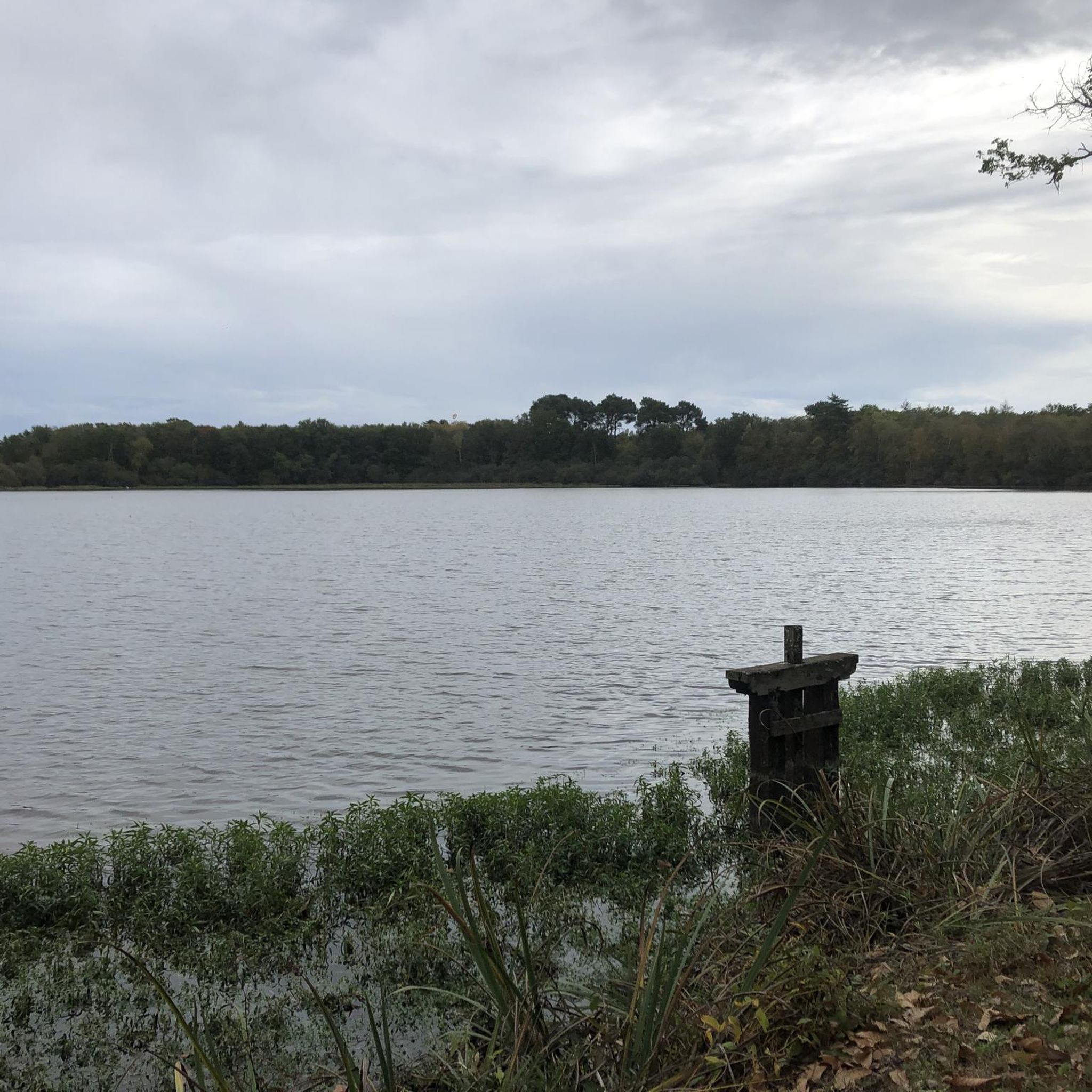
Biévre road for a few kilometers a superb overview of the Sologne des Étangs.
0
0

Straight ahead to Chambord. The magnificent towers are getting closer and closer.
1
0

It is the largest Renaissance hunting lodge on the Loire. A visit is highly recommended. There is a paid parking lot. The park is 55 hectares in size. Chambord Castle impresses with its architecture, the beautifully furnished rooms and art. It is recommended to rent a Histopad for 6.5 euros. From the terrace you have great views of the landscaped garden and the extensive park.
1
0

A very rolling road to arrive at this beautiful castle.
0
0
Frequently Asked Questions
What kind of terrain can I expect when road cycling around Marcilly-En-Gault?
The Sologne region, where Marcilly-En-Gault is located, is known for its generally flat to gently undulating terrain. This makes it accessible for cyclists of various fitness levels. You'll find quiet roads traversing extensive dense forests, peaceful lakes, and winding rivers, offering a mix of shaded sections and scenic views of natural water features.
Are there many road cycling routes available in the Marcilly-En-Gault area?
Yes, there are over 20 road cycling routes around Marcilly-En-Gault. These routes cater to different abilities, with 8 easy and 15 moderate options, ensuring there's something for everyone from casual riders to those seeking a longer challenge.
What are some scenic highlights I can see while road cycling in this region?
The Sologne region offers beautiful natural and historical sights. You can cycle through vast forests, past numerous wetlands and ponds, and along crystalline rivers. Many routes also connect charming villages and historic châteaux. For example, the route Chambord Castle – View of Chambord Castle loop from La Clarinerie provides views of the majestic Chambord Castle, while the Étang de Biévre loop from Marcilly-en-Gault takes you past the tranquil Étang de Biévre.
Are there any easy road cycling routes suitable for beginners or a relaxed ride?
Absolutely. The region offers several easy routes perfect for a relaxed pace. An excellent option is the Old market hall of Bracieux – Road section loop from Romorantin-Lanthenay, which is 50 km long and typically takes under two hours to complete. Another easy route is the Roadbike loop from Romorantin-Lanthenay, covering a similar distance through the pleasant Sologne countryside.
What do other cyclists say about road cycling in Marcilly-En-Gault?
The road cycling routes around Marcilly-En-Gault are highly rated by the komoot community, with an average score of 4.7 stars. Over 100 road cyclists have explored the area using komoot, often praising the quiet country roads, extensive forests, and numerous ponds that define the region's cycling experience.
Are there longer road cycling routes for more experienced riders?
Yes, for those seeking a longer ride, there are several moderate routes available. The Chambord Castle – View of Chambord Castle loop from La Clarinerie is a moderate 84.3 km path that offers a substantial ride through forests and open fields. Another option is the View over St Aignan – Château de Saint-Aignan loop from Loreux, which extends to 103 km.
Is Marcilly-En-Gault suitable for family-friendly cycling trips?
Yes, the Sologne region, including Marcilly-En-Gault, actively promotes 'La Sologne à vélo,' a network of designed cycling circuits. The generally flat to gently undulating terrain and the presence of numerous easy routes make it very suitable for families looking to explore the region by bike. The quiet country roads offer a safe and enjoyable environment for all ages.
What is the best time of year to go road cycling in Marcilly-En-Gault?
While specific seasonal conditions are not detailed, the region's extensive forests provide shaded routes, which can be particularly pleasant during warmer months. The natural beauty of the lakes and forests can be enjoyed throughout spring, summer, and autumn. Always check local weather forecasts before heading out.
Are there any cultural or historical sites accessible by road bike?
The region is rich in cultural and historical heritage. Many road cycling routes pass by or lead to impressive châteaux, such as the iconic Chambord Castle, which you can experience on the Chambord Castle – View of Chambord Castle loop from La Clarinerie route. The broader Sologne area also features other architectural heritage like the Château de La Ferté-Imbault, offering engaging stops during your rides.
Can I find routes that combine natural landscapes with charming villages?
Absolutely. The picturesque roads of the Sologne region are designed to connect charming villages with its stunning natural landscapes. You'll find routes that weave through dense forests, past tranquil ponds, and into quaint hamlets, allowing you to experience both the natural beauty and local culture of the area.
What are the typical elevation changes on road cycling routes around Marcilly-En-Gault?
The Sologne region is characterized by minimal elevation changes. Most routes feature a generally flat to gently undulating profile, making them less demanding on climbs. For example, an easy 50 km route might have around 140-150 meters of elevation gain, while a longer 84 km moderate route could have around 260 meters, indicating a relatively gentle gradient throughout.

Get inspired with the komoot mobile app


Explore more
Browse the best Road cycling routes in other regions.
