The best walks and hikes around Saint-André-De-Lancize
4.7
(635)
4,022
hikers
155
hikes
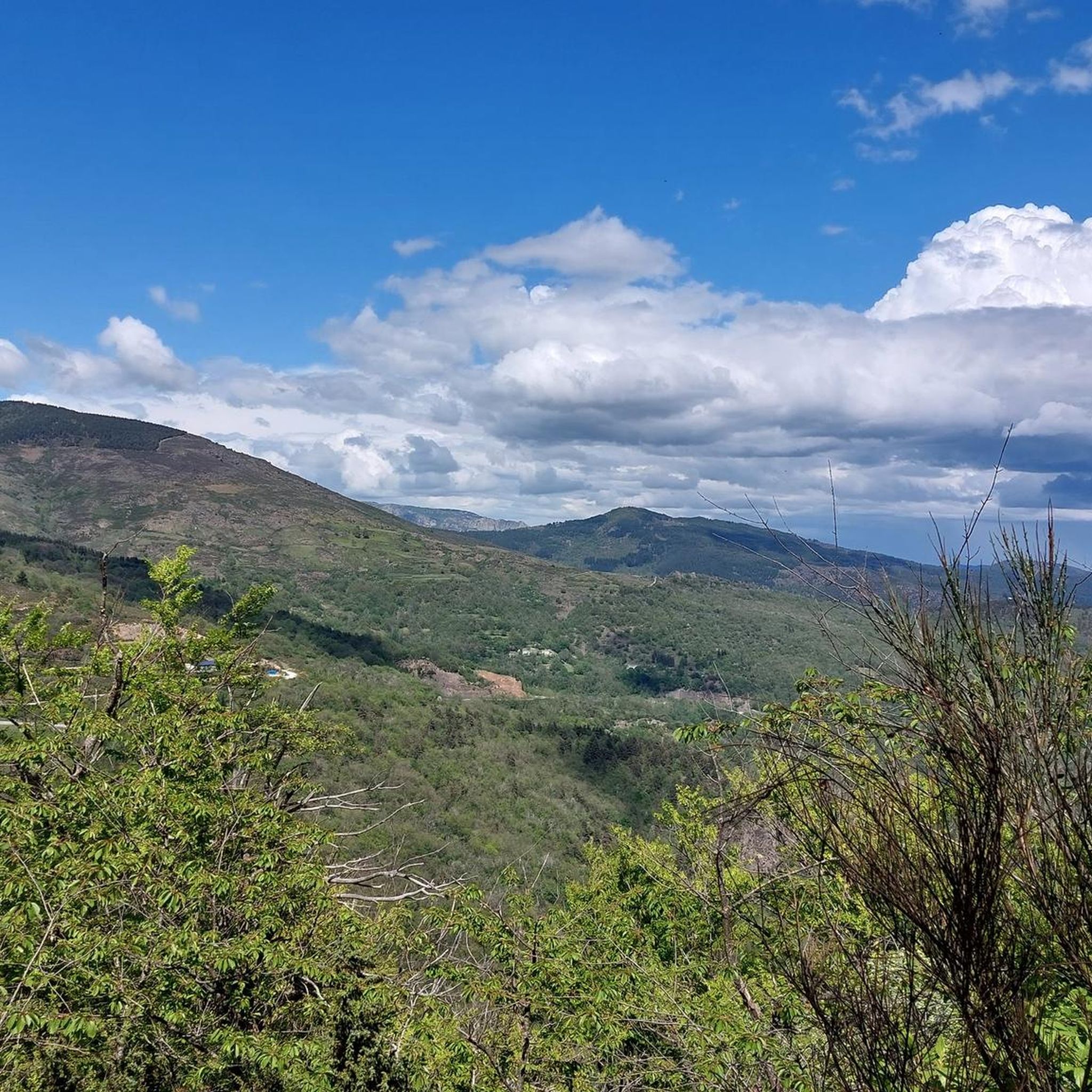
Hiking around Saint-André-De-Lancize offers diverse landscapes within the Cévennes National Park, a UNESCO World Heritage site. The region features expansive forests of pine, oak, and chestnut, alongside varied terrain including pastures, granite hamlets, and heathland. Significant elevation changes characterize the area, with the Mimente river flowing through narrow valleys. This environment supports a rich flora and provides panoramic views from various vantage points.
Best hiking trails around Saint-André-De-Lancize
- The most popular hiking route is Roc de Galta – loop starting…
Last updated: July 7, 2026
4.6
(7)
56
hikers
Moderate hike. Great for any fitness level. Mostly accessible paths. Sure-footedness required.
5.0
(6)
34
hikers
9.65km
02:59
340m
340m
Moderate hike. Good fitness required. Mostly accessible paths. Sure-footedness required.

Sign up for free
4.8
(12)
54
hikers
9.18km
02:43
260m
270m
Moderate hike. Good fitness required. Easily-accessible paths. Suitable for all skill levels.
5.0
(1)
5
hikers
13.1km
04:31
680m
680m
Moderate hike. Good fitness required. Easily-accessible paths. Suitable for all skill levels.
13
hikers
5.81km
01:54
270m
270m
Easy hike. Great for any fitness level. Easily-accessible paths. Suitable for all skill levels.
Get access to more routes and recommendations from other explorers.
Sign up for free
Already have an account?
Our route recommendations are based on thousands of hikes, rides, and runs completed by other people on komoot.
Start today with a free account
Your next adventure awaits.
Login or Signup
Popular around Saint-André-De-Lancize

Other adventures around Saint-André-De-Lancize

Tips from the Community


I don't think this is a real highlight. Le Cayla, right next door and slightly higher, is much better and should definitely be visited!
0
0

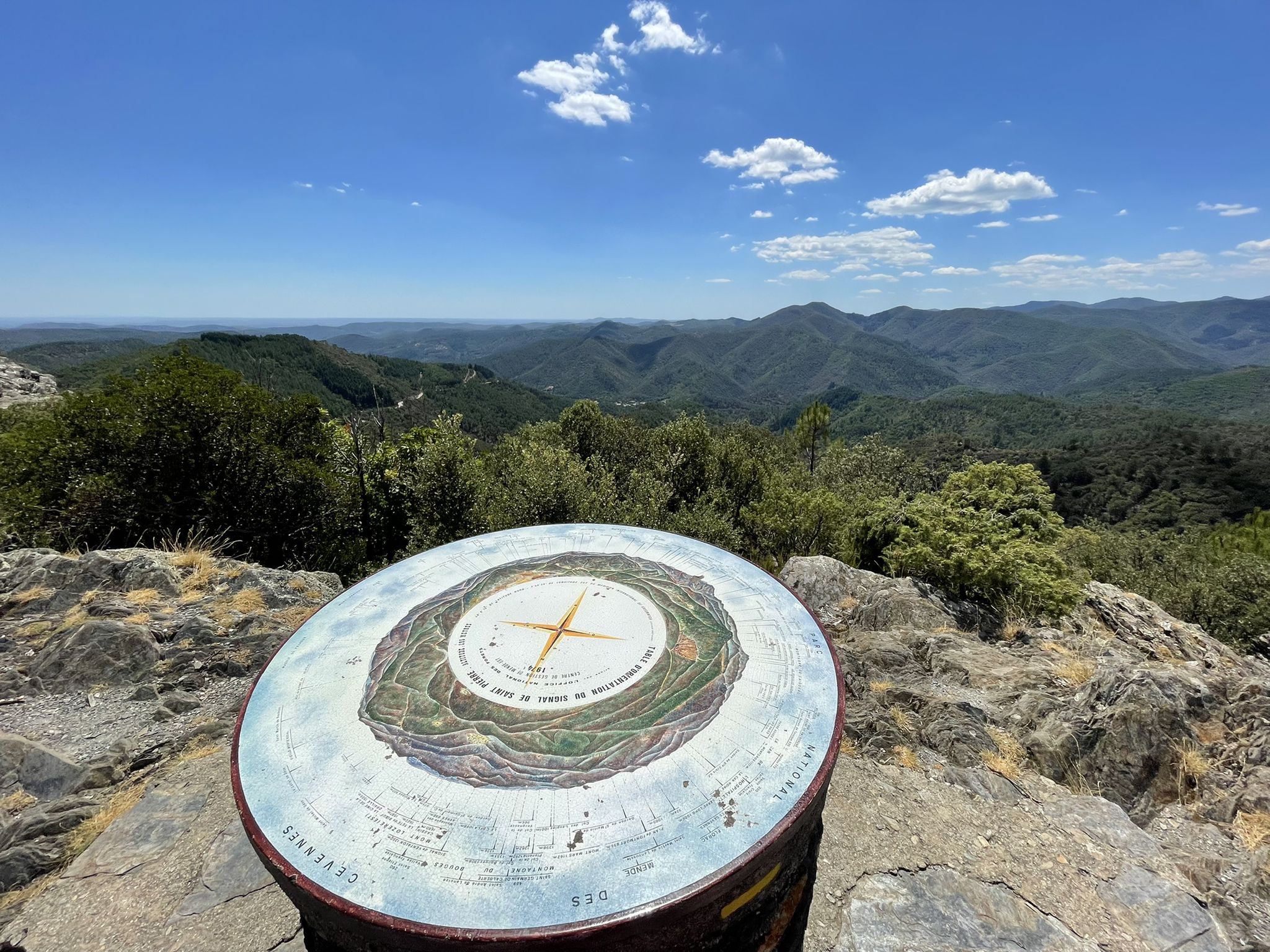
The Roc de Galta offers magnificent views of the Cévennes, from Mont Aigoual in the southwest to Mont Lozère in the north.
0
0
Here remain the traces of a small house once used to dry chestnuts (a clède) as well as a dry stone pit intended to trap wolves.
0
0
Le Cayla, on the Draille du Languedoc (transhumance route used by shepherds for centuries), offers an exceptional panorama over the valleys of the Cévennes.
0
0

Nice square behind the church with several picnic benches and a public toilet. On the other side of the church you will find a drinking fountain.
0
0

This charming town in the Lozère department is the starting point for many hiking and cycling tours.
1
0
A nice little parc. Have lunch on one of the tables and have a little siesta on the grass. There is also a public toilet.
0
0
Frequently Asked Questions
What types of hiking trails can I find around Saint-André-De-Lancize?
The region offers a diverse range of hiking trails, from easy loops suitable for families to more challenging long-distance routes. You'll find paths winding through dense forests of pine, oak, and chestnut, across open heathlands, and along river valleys. The terrain often features significant elevation changes, providing varied experiences for all skill levels.
Are there easy hiking options suitable for beginners or families?
Yes, Saint-André-De-Lancize has a good selection of easy trails. There are 26 easy routes available, perfect for beginners or families with children. An example is The Little Calbertois loop from Saint-Germain-de-Calberte, which is about 5.8 km long and takes less than two hours to complete.
What are the typical distances and durations for hikes in the area?
Hikes around Saint-André-De-Lancize vary significantly. You can find shorter loops like the Roc de Galta loop, which is about 5.6 km and takes under two hours. Longer moderate trails, such as the View from Le Cayla – Col des Abeilles loop, can extend to over 13 km and require around 4.5 hours.
What kind of views and natural features can I expect on the trails?
Hikers can enjoy magnificent panoramic views of the surrounding mountains, and from certain vantage points, even glimpses of the Mediterranean Sea. The landscape is characterized by expansive forests, varied terrain with pastures and granite hamlets, and heathland adorned with broom, heather, and ferns. The Mimente river also flows through narrow valleys, adding to the scenic beauty.
Are there any notable landmarks or attractions to see while hiking?
Yes, the region is rich in points of interest. You might encounter historical sites like the village of Le Pont-de-Montvert or the Tarn Bridge. For natural landmarks, look out for the Menhir at the Col de la Pierre Plantée or enjoy the vistas from the Cairn and Panorama viewpoint.
What is the best time of year to go hiking in Saint-André-De-Lancize?
The Cévennes National Park, where Saint-André-De-Lancize is located, offers pleasant hiking conditions during spring, summer, and autumn. Spring brings blooming flora, while summer provides warm weather for exploring forests and river valleys. Autumn showcases beautiful foliage. The region's diverse landscapes, including shaded forests, make it enjoyable even during warmer periods.
Is Saint-André-De-Lancize part of any long-distance hiking trails?
Yes, the region is crisscrossed by several renowned long-distance routes. These include sections of the GR7, the GR36, and the famous Stevenson Trail (GR70), which offers a historical journey through the Cévennes. Another significant path is the GR670, also known as the Urban V trail.
What do other hikers say about the trails in Saint-André-De-Lancize?
The routes in Saint-André-De-Lancize are highly rated by the komoot community, with an average score of 4.7 stars from over 500 reviews. Hikers often praise the diverse landscapes, from dense forests to panoramic mountain vistas, and the well-maintained trails that cater to various abilities.
Are there any circular hiking routes available?
Yes, many trails in the area are designed as circular routes, allowing you to start and end at the same point. Popular options include the Col des Abeilles Loop, which takes you through forests with superb views, and the Between hamlets and streams loop from Miéjèsol.
Are dogs allowed on the hiking trails?
Saint-André-De-Lancize is located within the Cévennes National Park. While dogs are generally welcome on trails, specific rules may apply, especially concerning leashes and protected areas. It's always best to check local regulations or park guidelines before heading out with your dog to ensure a pleasant and compliant experience.
Do I need any special permits to hike in the Cévennes National Park?
Hiking in the core zone of the Cévennes National Park generally does not require special permits for day hikes on marked trails. However, it's always advisable to consult the official Cévennes National Park website for the most current regulations, especially if you plan on bivouacking or engaging in other specific activities.
What wildlife might I encounter while hiking?
The varied environment of the Cévennes National Park supports rich flora and fauna. While hiking in secluded areas, you might have the chance to spot wild animals such as roe deer, fox, and various bird species, including vultures. The region's biodiversity is one of its defining characteristics.
Most popular routes around Saint-André-De-Lancize
Most popular attractions around Saint-André-De-Lancize

Get inspired with the komoot mobile app


Explore more
Browse the best Hikes in other regions.
