The 5 Most Amazing Peaks around Saint-Étienne-Vallée-Française
Best mountain peaks around Saint-Étienne-Vallée-Française are found in a charming village nestled within the schistous terrain of the Cévennes, a UNESCO World Heritage site in France. The region is characterized by a diverse mountainous landscape, offering a blend of natural beauty and varied terrain. While the village itself sits at an average altitude of 245 meters, it is surrounded by notable elevations that provide opportunities for exploration and scenic views. The area is known for its schist and chestnut groves,…
Last updated: July 13, 2026
Arbousse Peak
Highlight • Summit
Translated by Google •
Tip by

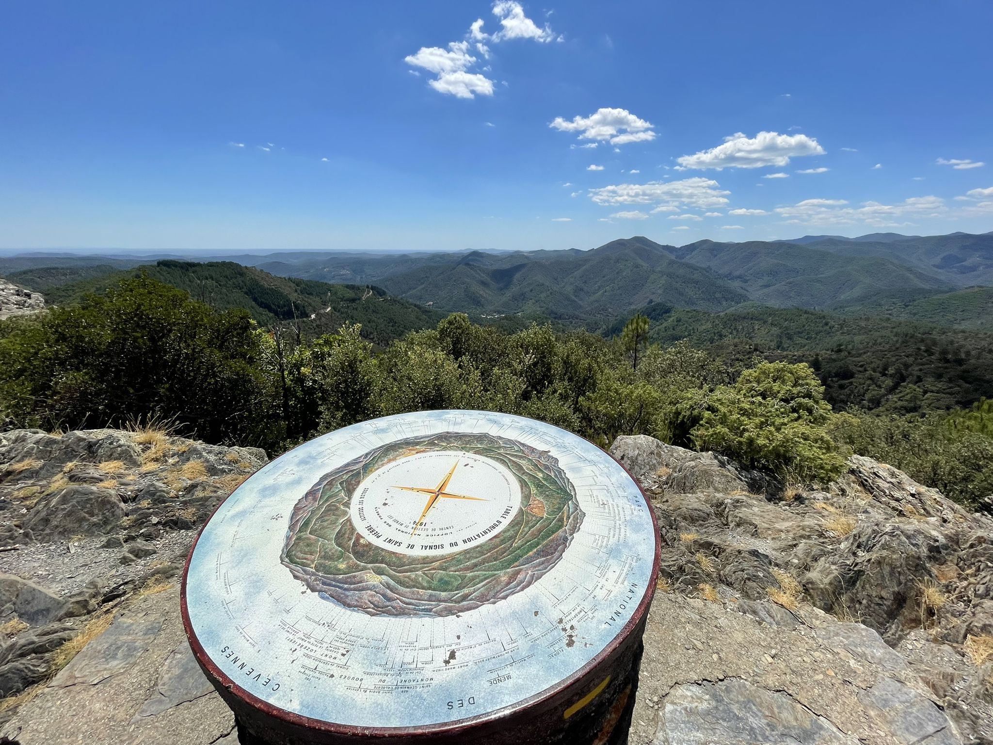
Signal de Saint-Pierre Orientation Table
Highlight • Viewpoint
Translated by Google •
Tip by
Sign up now to discover places like this
Get recommendations on the best single tracks, peaks, & plenty of other exciting outdoor places.
Sign up for free
Mont Brion
Highlight • Summit
Translated by Google •
Tip by

Eagle Rock
Highlight • Summit
Translated by Google •
Tip by
Roc de Galta
Highlight • Viewpoint
Translated by Google •
Tip by
Start today with a free account
Your next adventure awaits.
Login or Signup
Popular around Saint-Étienne-Vallée-Française
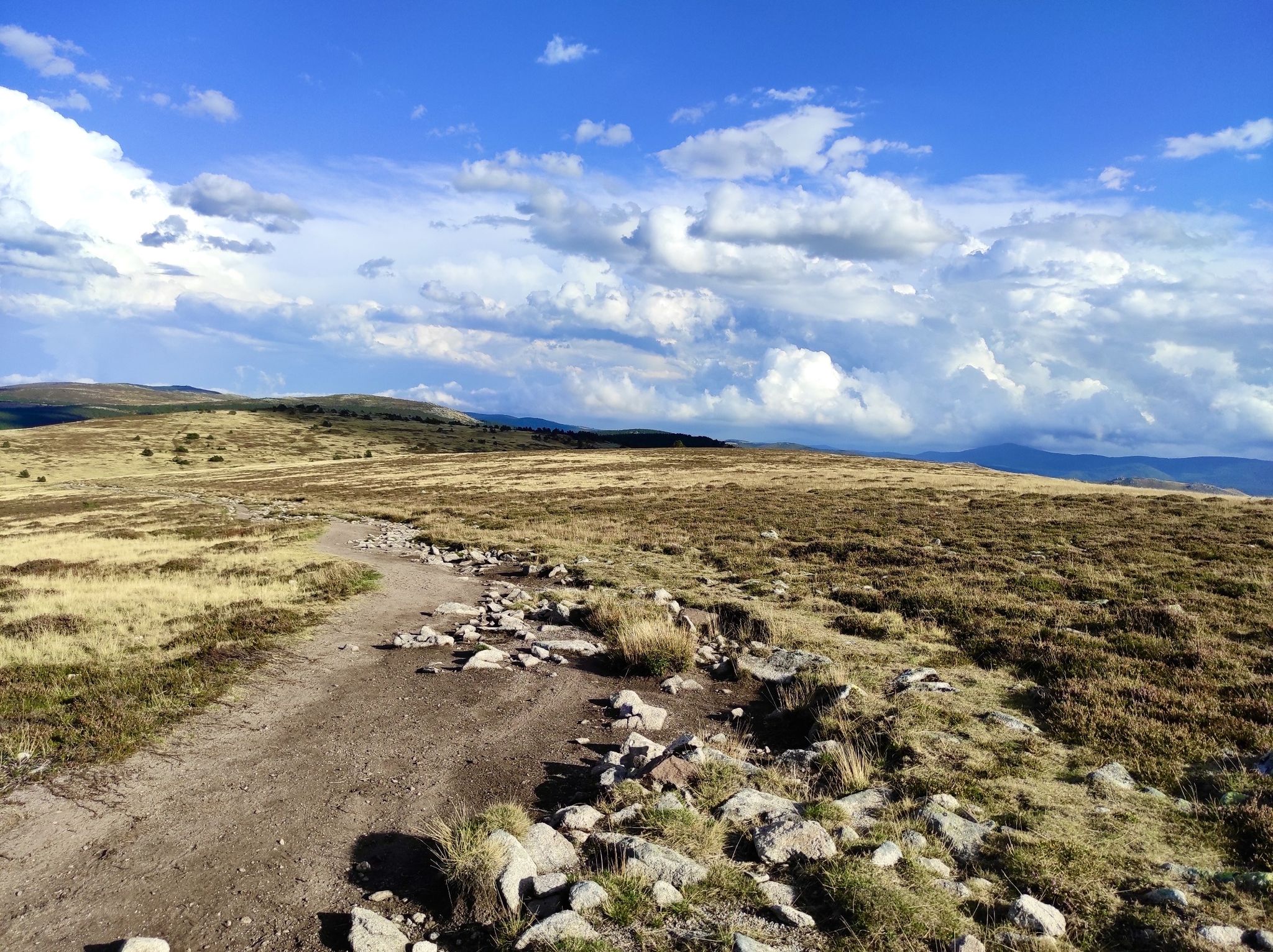
Hike through the Cévennes valleys in France – Chemin Camisard
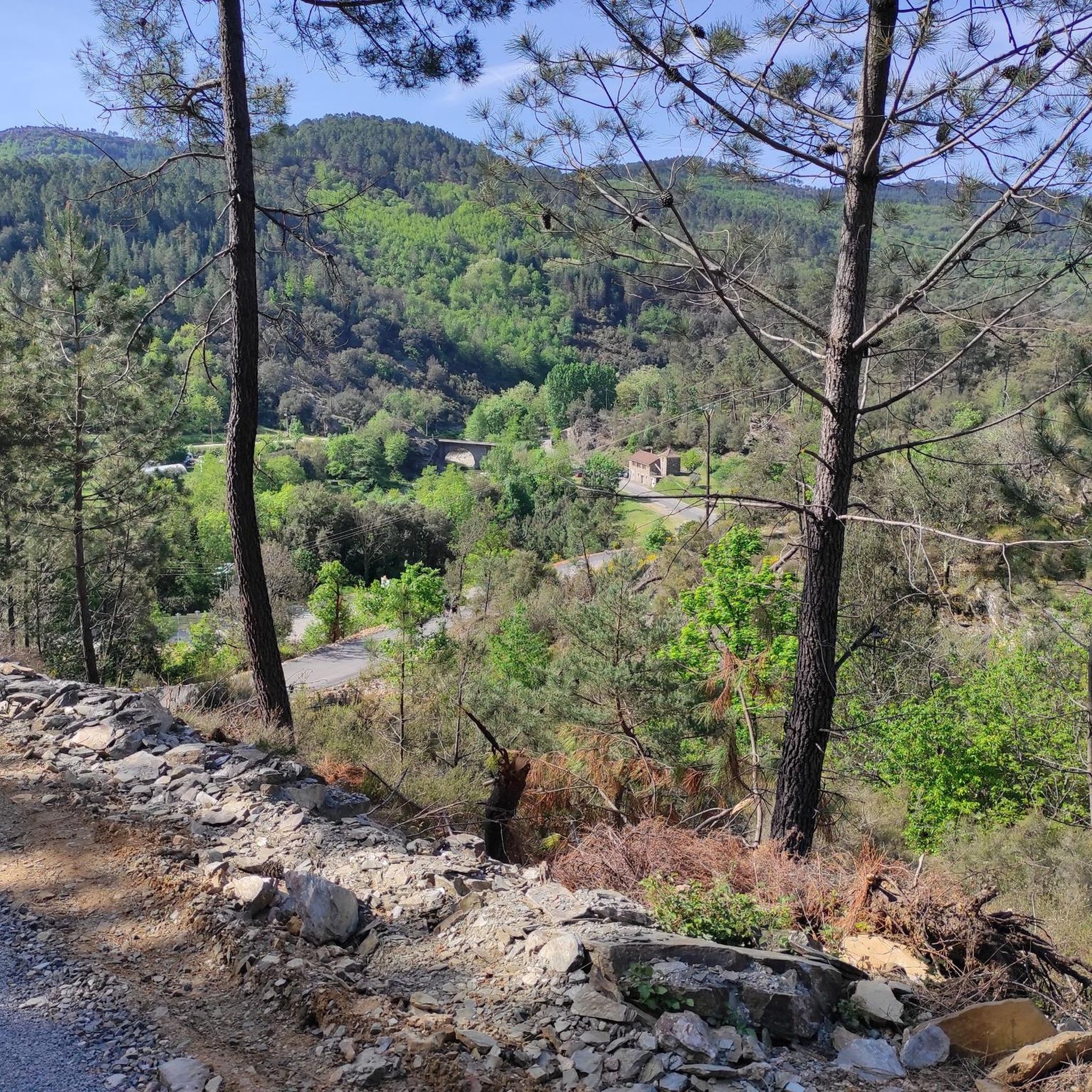
In the footsteps of Modestine — the Stevenson Trail (GR 70)
Hiking around Saint-Étienne-Vallée-Française
Road Cycling Routes around Saint-Étienne-Vallée-Française
Cycling around Saint-Étienne-Vallée-Française
MTB Trails around Saint-Étienne-Vallée-Française
Running Trails around Saint-Étienne-Vallée-Française

Gravel biking around Saint-Étienne-Vallée-Française
Other adventures around Saint-Étienne-Vallée-Française

Tips from the Community

Beautiful views of the Cévennes. Be careful, the rock is slippery when wet.
0
0

Caution: difficult hike for the last 2 kilometers.
0
0


The Roc de Galta offers magnificent views of the Cévennes, from Mont Aigoual in the southwest to Mont Lozère in the north.
0
0
The Signal Saint-Pierre, a few hundred meters from the Col Saint-Pierre, allows you to contemplate the Cévennes at an altitude of 695m.
0
0
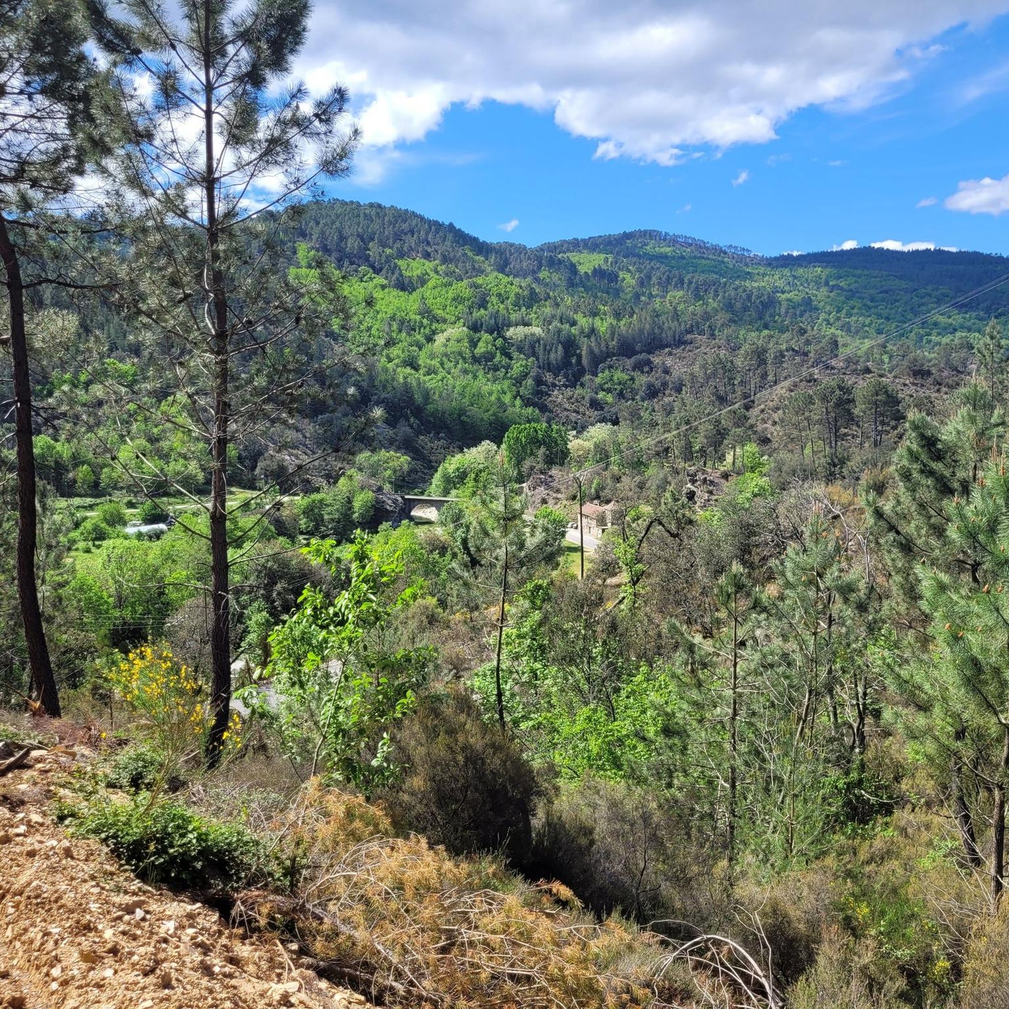
The Pic d'Arbousse offers a magnificent view of the Gardon de Saint-Jean and Gardon de Mialet valleys
0
0
The Rocher de l'Aigle offers an exceptional 360° view, from Mont Aigoual in the west to Ventoux in the east, passing by Pic Saint-Loup in the south.
0
0
Frequently Asked Questions
What are some of the most recommended mountain peaks to visit around Saint-Étienne-Vallée-Française?
For magnificent views, consider Arbousse Peak, which offers vistas of the Gardon de Saint-Jean and Gardon de Mialet valleys. The Signal de Saint-Pierre Orientation Table provides a great spot to contemplate the Cévennes at 695 meters. Another popular choice is Mont Brion, known for its superb panoramic views.
Which mountain peaks offer the best panoramic views of the region?
Several peaks provide breathtaking views. Mont Brion, a former fire observation station, offers panoramic views that can include the Rhone plain and Mont Ventoux on clear days. Eagle Rock boasts an exceptional 360° view, stretching from Mont Aigoual to Ventoux and Pic Saint-Loup. Additionally, Roc de Galta provides magnificent views of the Cévennes, from Mont Aigoual to Mont Lozère.
What historical or cultural sites can be found near the mountain peaks of Saint-Étienne-Vallée-Française?
The region is rich in history. The Montagne de la Vieille Morte features the "draille de la Vieille Morte," an ancient drovers' road with prehistoric remains like menhirs and dolmens, linked to local legends. The broader Cévennes landscape, a UNESCO World Heritage site, also bears witness to events like the Camisard revolt, and you can find ancient structures such as the medieval Château de Cambiaire offering magnificent views.
Are there any specific hiking trails or routes recommended for exploring the mountains?
Yes, Saint-Étienne-Vallée-Française is a key stop on the historic Robert Louis Stevenson Trail (GR70). For local hikes, you can explore routes like the Martinet path, which traverses Cévennes forests. Many other hiking routes around the village cater to various fitness levels. You can find more detailed hiking options in the Hiking around Saint-Étienne-Vallée-Française guide.
What kind of natural features can I expect to see in the mountainous areas?
The region is characterized by schistous terrain and lush chestnut groves, contributing to a rich and varied natural environment. The Gardon river irrigates the area, and you can discover features like the Martinet waterfall, where clear waters flow over rocky schist structures. Higher elevations offer extensive greenery and panoramic views of valleys and distant horizons.
What outdoor activities, besides hiking, can I do near these mountain peaks?
Beyond hiking, the area offers opportunities for running and gravel biking. You can find various running trails, including challenging loops around Arbousse Peak or Signal Saint-Pierre, detailed in the Running Trails around Saint-Étienne-Vallée-Française guide. For cyclists, there are gravel biking routes that explore the mountainous terrain, such as the Saint-Étienne-Vallée-Française viewpoint loop, available in the Gravel biking around Saint-Étienne-Vallée-Française guide.
Are there any easy or beginner-friendly mountain routes around Saint-Étienne-Vallée-Française?
While some routes can be challenging, the area offers diverse terrain. The Signal de Saint-Pierre Orientation Table is an accessible viewpoint at 695 meters, providing a chance to contemplate the Cévennes without a strenuous climb. Many local trails cater to various fitness levels, so it's best to check specific route details for difficulty ratings.
What do visitors enjoy most about the mountain peaks and surrounding area?
Visitors frequently praise the magnificent points of view and the quiet, serene atmosphere of the trails. The exceptional 360° views from spots like Eagle Rock are highly appreciated. The rich natural environment, including schist and chestnut groves, and the blend of natural beauty with historical context, also contribute to a rewarding experience.
Can I find wild swimming spots near the mountain peaks?
The Gardon river irrigates the area, and features like the Martinet waterfall, located just 800 meters south of Saint-Étienne-Vallée-Française, provide beautiful spots for relaxation and swimming in clear waters that flow over rocky schist structures.
Is the Cévennes National Park, where Saint-Étienne-Vallée-Française is located, a UNESCO World Heritage site?
Yes, the Cévennes, where Saint-Étienne-Vallée-Française is nestled, is renowned for its natural beauty and is designated a UNESCO World Heritage site. This recognition highlights its unique cultural landscapes and biodiversity.
Are there any specific tips for hiking to Mont Brion?
When hiking to Mont Brion, be aware that the last two kilometers can be a difficult hike. However, the reward is a superb panoramic view. It was formerly a fire observation station and offers possible shelter in case of sudden rain.
Most popular routes around Saint-Étienne-Vallée-Française
Most popular attractions around Saint-Étienne-Vallée-Française

Get inspired with the komoot mobile app


Explore more
See even more amazing summits around Saint-Étienne-Vallée-Française with these guides:
