The best road cycling routes around La Vaivre
4.5
(82)
2,831
riders
152
rides
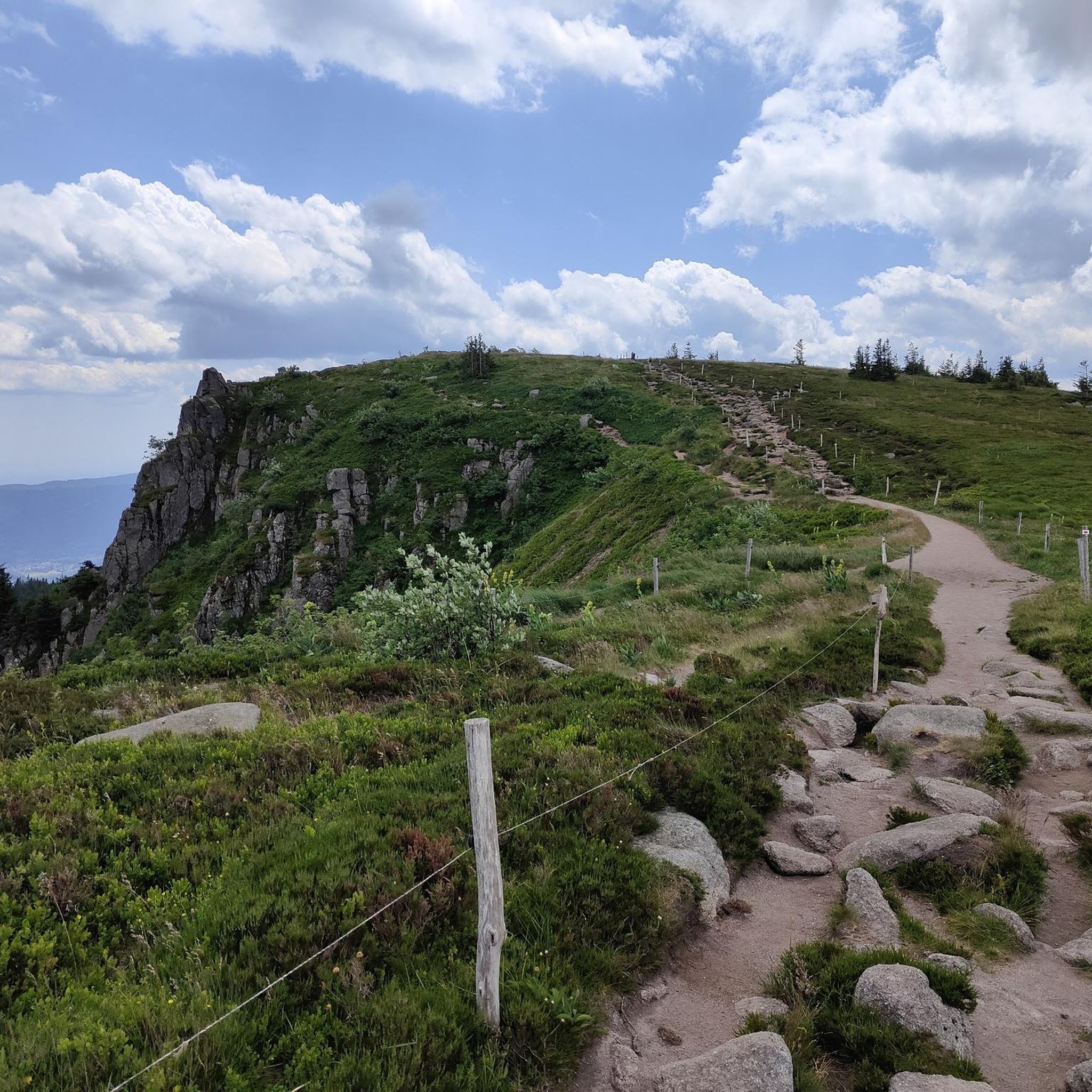
Road cycling routes around La Vaivre traverse a landscape characterized by rolling hills, significant passes, and forested areas. The region features varied terrain, including climbs towards points like Mont de Fourche Pass and Grand Ballon, alongside routes that incorporate greenways. Elevation gains are notable on many routes, indicating a challenging but rewarding environment for road cyclists.
Best road cycling routes around La Vaivre
- The most popular road cycling route is Grotto of the Virgin Mary – Plombières-les-Bains Town Hall loop…
Last updated: July 5, 2026
31
riders
120km
06:34
2,210m
2,210m
Hard road ride. Very good fitness required. Mostly well-paved surfaces and easy to ride.
17
riders
167km
06:53
870m
870m
Hard road ride. Very good fitness required. Mostly well-paved surfaces and easy to ride.

Sign up for free
12
riders
188km
09:11
2,720m
2,720m
Hard road ride. Very good fitness required. Some segments of this route may be unpaved and difficult to ride.
5.0
(1)
11
riders
197km
10:51
3,530m
3,530m
Hard road ride. Very good fitness required. Mostly well-paved surfaces and easy to ride.
11
riders
43.1km
01:53
350m
350m
Moderate road ride. Good fitness required. Mostly well-paved surfaces and easy to ride.
Get access to more routes and recommendations from other explorers.
Sign up for free
Already have an account?
Our route recommendations are based on thousands of hikes, rides, and runs completed by other people on komoot.
Start today with a free account
Your next adventure awaits.
Login or Signup




Tips from the Community

Very pleasant ascent, steady with a quality surface, be careful, keep a second ramp under your pedal, it hides behind before reaching the lake of Gérardmer!
0
0
A moment of respite before Le Thillot away from motorized traffic!
0
0


The beautiful mirror-like lake, surrounded by beautiful vegetation, is also explained on the information board. The insect-eating sundew is common there.
1
0

monumental climb, also a nice descent
0
0
Nice quiet place to take a break.
1
0
Monumental, what a climb
0
0
Frequently Asked Questions
What kind of terrain can I expect on road cycling routes around La Vaivre?
Road cycling around La Vaivre features a diverse landscape of rolling hills, significant mountain passes like Mont de Fourche and Grand Ballon, and extensive forested areas. You'll encounter varied terrain, including challenging climbs and sections along greenways, offering a rewarding experience for cyclists.
Are there road cycling routes suitable for beginners or those looking for an easier ride?
Yes, La Vaivre offers options for various ability levels. While many routes involve significant elevation, there are 14 easy routes and 97 moderate routes available. A good moderate option is the Grotto of the Virgin Mary – Plombières-les-Bains Town Hall loop from Aillevillers, which is 21.5 miles (34.6 km) long with a manageable elevation gain of about 354 meters.
Where can I find challenging road cycling routes with significant climbs?
La Vaivre is well-known for its challenging routes, particularly those incorporating major passes. There are 32 difficult routes available. For a demanding ride, consider the Lispach Lake – Mont de Fourche Pass loop from Aillevillers, which spans nearly 198 km and features over 3,500 meters of elevation gain.
Are there any loop road cycling routes in the La Vaivre area?
Yes, many of the road cycling routes around La Vaivre are designed as loops, allowing you to start and finish in the same location. For example, the Mont de Fourche Pass – Voie Verte des Hautes Vosges loop from Aillevillers is a challenging 74.4-mile (119.7 km) loop that includes significant climbs and scenic sections.
What are some notable landmarks or attractions I might see along the road cycling routes?
While cycling, you might pass several interesting points. The Grotto of the Virgin Mary – Plombières-les-Bains Town Hall loop, for instance, takes you past the Plombières-les-Bains Town Hall. Other nearby attractions include the Saint Columban Abbey and the Saint-Amé-et-Saint-Blaise Church.
How long do road cycling routes in La Vaivre typically take to complete?
The duration varies significantly based on the route's distance and elevation. Shorter, moderate loops like the Chalet de la Feuillée Nouvelle loop from Aillevillers (45.9 km) can take around 2 hours 7 minutes. Longer, difficult routes, such as the Grand Ballon – Col de Bramont loop from Aillevillers (187.9 km), often require about 9 hours 10 minutes.
What do other road cyclists say about the routes in La Vaivre?
The road cycling routes in La Vaivre are highly regarded by the komoot community, holding an average rating of 4.6 stars from over 30 reviews. Cyclists often praise the varied terrain, from challenging mountain passes to scenic forested sections, and the overall rewarding experience.
Are there any routes that incorporate greenways or dedicated cycle paths?
Yes, some routes in the region integrate sections of greenways. The Mont de Fourche Pass – Voie Verte des Hautes Vosges loop from Aillevillers, for example, features parts along the Voie Verte des Hautes Vosges, offering a different cycling experience amidst the more challenging climbs.
How many road cycling routes are available in the La Vaivre area?
There are over 140 road cycling routes available around La Vaivre, catering to a wide range of skill levels and preferences. This extensive network ensures plenty of options for exploration.
What is the typical elevation gain on road cycling routes in La Vaivre?
Elevation gains vary significantly. Moderate routes might have around 350-500 meters of ascent, while difficult routes can feature substantial climbs. For instance, the Lispach Lake – Mont de Fourche Pass loop includes over 3,500 meters of elevation gain, indicating the challenging nature of some of the longer rides.
Can I find routes that offer scenic viewpoints or particularly picturesque sections?
The region's landscape, characterized by rolling hills and mountain passes, naturally offers numerous scenic viewpoints. Routes that traverse higher elevations, such as those near Mont de Fourche Pass or Grand Ballon, are particularly known for their expansive vistas and picturesque surroundings.
Most popular attractions around La Vaivre

Get inspired with the komoot mobile app


Explore more
Browse the best Road cycling routes in other regions.
