The best running trails around Marolles-En-Hurepoix
4.5
(84)
2,673
runners
20
runs
Jogging around Marolles-En-Hurepoix offers diverse terrain across the Hurepoix plateau, characterized by extensive forests and green spaces. The region is nestled between several river valleys, including the Juine, Orge, Vixen, and Rémarde, providing varied elevations and natural settings. The Bassin de Carouge, a notable natural attraction, features a secure and flat path ideal for scenic running. These natural features combine with historical elements to create engaging running routes.
Best jogging routes around Marolles-En-Hurepoix
- The most popular jogging route is Running…
Last updated: July 5, 2026
2.0
(1)
24
runners
8.73km
00:55
10m
10m
Moderate run. Good fitness required. Mostly paved surfaces. Suitable for all skill levels.
5.0
(1)
13
runners
16.8km
01:52
50m
50m
Hard run. Very good fitness required. Mostly paved surfaces. Suitable for all skill levels.

Sign up for free
5.0
(1)
7
runners
4.72km
00:32
10m
10m
Easy run. Great for any fitness level. Mostly paved surfaces. Suitable for all skill levels.
9
runners
18.6km
02:12
180m
180m
Hard run. Very good fitness required. Sure-footedness, sturdy shoes and alpine experience required.
7
runners
14.3km
01:40
80m
80m
Moderate run. Good fitness required. Mostly paved surfaces. Suitable for all skill levels.
Get access to more routes and recommendations from other explorers.
Sign up for free
Already have an account?
Our route recommendations are based on thousands of hikes, rides, and runs completed by other people on komoot.
Start today with a free account
Your next adventure awaits.
Login or Signup

Tips from the Community

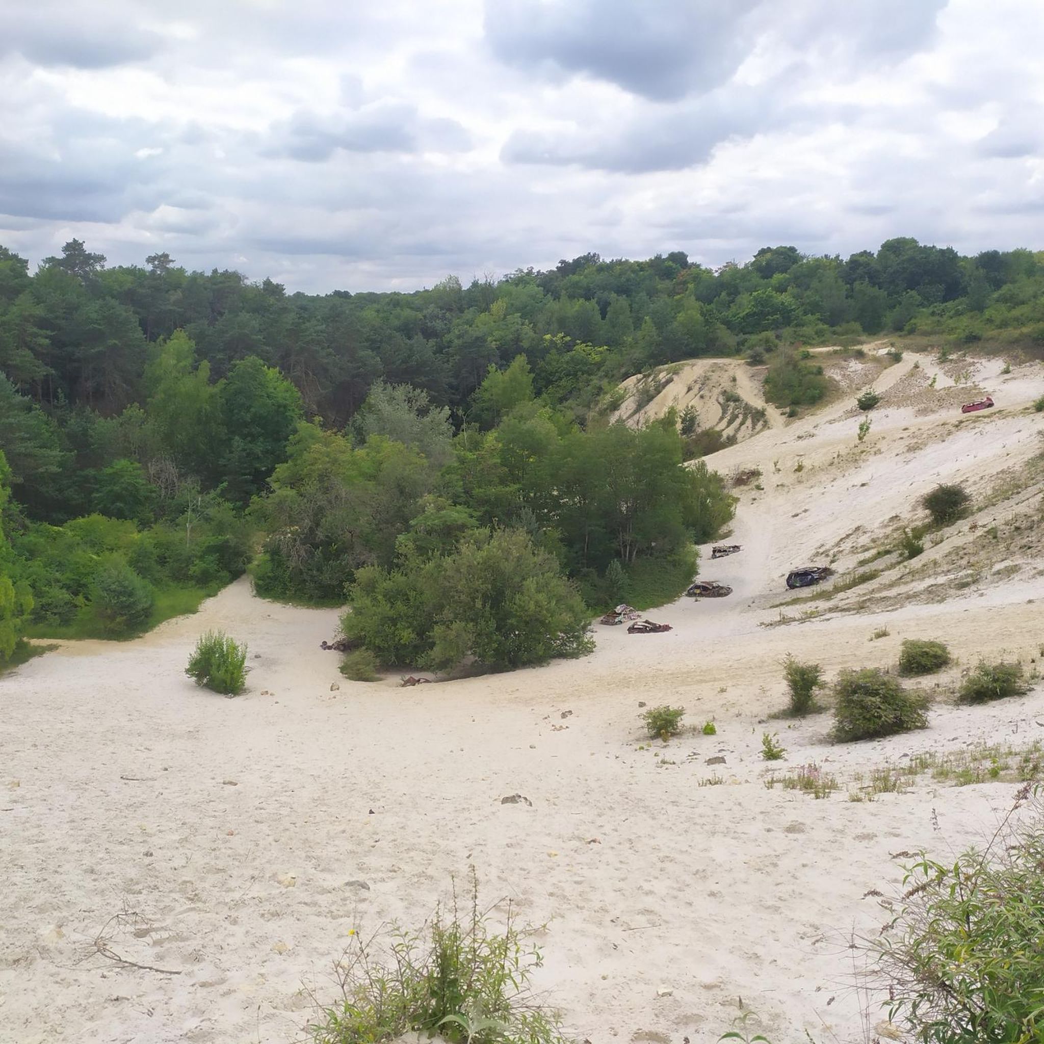
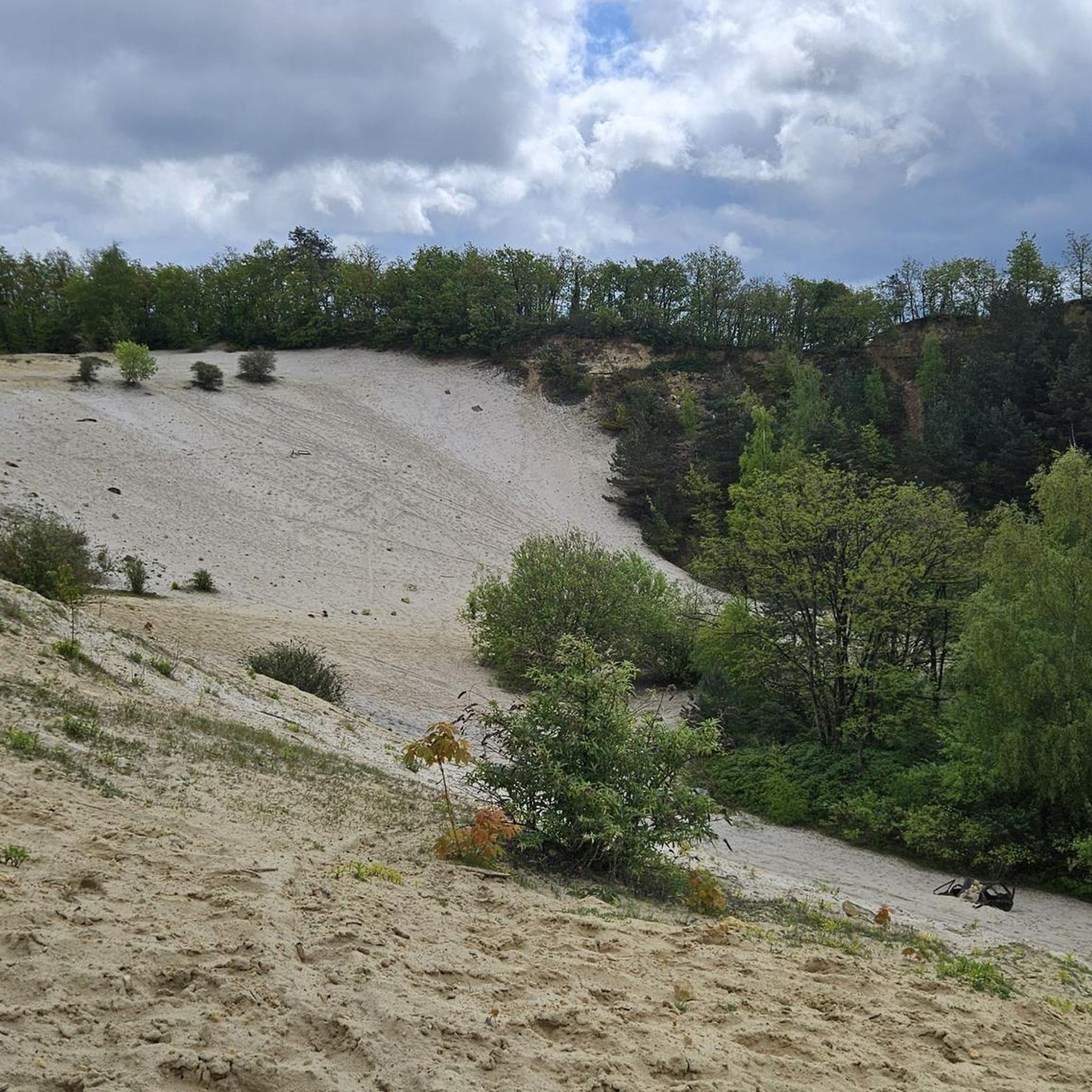
the cheptainville sandpit a legendary place
0
0


Louis DUVAL de l’EPINOY Marquis of Saint-Vrain from 1747 to 1769. He had the Obelisk erected in 1750 in homage to the work of Cassini who had developed a system of measurements allowing the creation of the geodesic map of France. Started in 1750, this map was completed in 1790.
0
0

The only pass of the Essonne
1
0
New lord of Saint-Vrain since 1747, Louis DUVAL DE L’EPINOIS undertook in 1750 to build this obelisk in a room of 55 acres facing the main alley of the castle. Several alleys left from it in a star shape. This monument was not erected for the completion of work concerning the tracing of the Paris Meridian and the triangulation of Jacques de CASSINI (work continued by his son César-François for the determination of the geography of France). However, it is nevertheless thought that the place where the obelisk is located could have been a point of one of the local secondary triangles, during the verification of the basic triangulation (1740-1744) in order to increase its precision. DUVAL DE L’EPINOIS being very sensitive to this work, this monument is therefore only a “memorial monument”.
1
0

Very beautiful portal, alas the castle is not visible from the road.
0
0
Frequently Asked Questions
What kind of terrain can I expect on the running routes around Marolles-En-Hurepoix?
The region offers a diverse running experience, characterized by its location on the Hurepoix plateau. You'll find extensive forest coverage, green spaces, and varied topography with both plateaus and river valleys like the Juine, Orge, Vixen, and Rémarde. This provides a mix of flat sections and gentle inclines, suitable for various running preferences.
Are there any easy or beginner-friendly jogging routes in Marolles-En-Hurepoix?
Yes, there are several easy running options. For instance, the Running loop from Marolles-en-Hurepoix is an easy 2.9-mile (4.7 km) path, perfect for a quick and accessible jog. Overall, the area features 1 easy route out of 16 available, ensuring options for those new to running or looking for a relaxed pace.
Where can I find longer distance running trails near Marolles-En-Hurepoix?
For those seeking a longer challenge, Marolles-En-Hurepoix offers several routes. The Carouge Basin – Carouge Basin loop from Marolles-en-Hurepoix is a difficult 15.1-mile (24.3 km) trail that takes you through river valleys and around the scenic Bassin de Carouge. Another challenging option is the La sabliere loop from Marolles-en-Hurepoix, which covers 11.5 miles (18.5 km) with more significant elevation changes.
What natural features or landmarks can I see while running in the area?
Marolles-En-Hurepoix is rich in natural beauty. You can run alongside the scenic Carouge Basin, where multiple rivers converge and various bird species reside. The region also boasts extensive forests and green spaces, remnants of historical parks, and diverse topography with plateaus and river valleys. You might also encounter highlights like the Sequoia Avenue at Villeroy Park or the Butte du Puits geological site.
Are there any family-friendly running paths in Marolles-En-Hurepoix?
Yes, the area provides options suitable for families. The secure and flat path around the Bassin de Carouge is an ideal, scenic route for a family jog. Generally, the numerous forest trails and green spaces offer pleasant and safe environments for all ages, with many routes having minimal elevation gain.
What do other runners say about the trails in Marolles-En-Hurepoix?
The running routes in Marolles-En-Hurepoix are highly regarded by the komoot community, with an average score of 4.6 stars from over 50 reviews. Runners often praise the extensive forest coverage, varied terrain, and the peaceful natural settings that make for an engaging outdoor experience.
Can I bring my dog on the running trails?
While specific regulations for each trail can vary, many natural areas and forest paths in France are generally dog-friendly, especially if your dog is kept on a leash. Given the extensive forest coverage and green spaces in Marolles-En-Hurepoix, you'll likely find many suitable routes for running with your canine companion. Always ensure to respect local signage and clean up after your pet.
How many running routes are available in Marolles-En-Hurepoix?
There are over 15 dedicated running routes around Marolles-En-Hurepoix listed on komoot, offering a variety of distances and difficulty levels. This includes 1 easy, 11 moderate, and 4 difficult routes, ensuring options for every runner.
Are there any circular running routes in the area?
Yes, many of the running routes in Marolles-En-Hurepoix are designed as loops, providing convenient circular paths. Examples include the popular Running loop from Marolles-en-Hurepoix and the longer Carouge Basin – Carouge Basin loop from Marolles-en-Hurepoix, allowing you to start and finish at the same point.
What is the best time of year to go running in Marolles-En-Hurepoix?
Marolles-En-Hurepoix offers good running conditions throughout much of the year. Spring and autumn provide pleasant temperatures and vibrant scenery, especially with the extensive forest coverage. Summer can be enjoyable, particularly in the shaded wooded areas, while winter runs can be crisp and refreshing. The local running event, 'La Marollaise,' often takes place in spring, suggesting favorable conditions during that season.
Are there any historical sites to explore while running?
Yes, the region blends natural beauty with historical elements. While jogging, you might encounter remnants of large parks associated with former castles. The Saint-Sulpice Church of Saint-Sulpice-de-Favières, for example, is strategically located at the start of many forest trails, offering a glimpse into the area's heritage. The Château du Mesnil-Voisin also features a garden that is occasionally open to the public.
How accessible are the running trails by public transport or car parking?
While specific public transport links to every trailhead are not detailed, Marolles-En-Hurepoix is a commune with local infrastructure. Many routes likely start from accessible points within or near the town, where parking facilities would typically be available. For detailed access information, it's always recommended to check the individual route descriptions on komoot.
Most popular routes around Marolles-En-Hurepoix
Most popular attractions around Marolles-En-Hurepoix

Get inspired with the komoot mobile app


Explore more
Browse the best Running Trails & Routes in other regions.
