The best running trails around La Chapelle-Saint-Maurice
4.4
(399)
32,513
runners
366
runs
Jogging around La Chapelle-Saint-Maurice offers diverse terrain within the Massif des Bauges Regional Natural Park and near Lake Annecy. The region features a mix of challenging mountain trails, forested paths, and gentler lakeside routes. Runners can experience varied landscapes, from alpine pastures and valleys to the shores of Lake Annecy, providing options for different preferences and fitness levels.
Best jogging routes around La Chapelle-Saint-Maurice
- The most popular jogging route is Oratory – View of Lake Annecy loop from Lathuile,…
Last updated: October 20, 2026
222
runners
11.8km
01:32
390m
390m
Hard run. Very good fitness required. Mostly paved surfaces. Suitable for all skill levels.
5.0
(2)
117
runners
5.18km
00:37
120m
120m
Moderate run. Good fitness required. Mostly paved surfaces. Suitable for all skill levels.

79
runners
4.97km
00:34
100m
90m
Easy run. Great for any fitness level. Mostly paved surfaces. Suitable for all skill levels.
52
runners
23.2km
03:50
1,250m
1,250m
Hard run. Very good fitness required. Sure-footedness, sturdy shoes and alpine experience required.
4.0
(3)
66
runners
6.99km
00:43
30m
30m
Moderate run. Good fitness required. Mostly paved surfaces. Suitable for all skill levels.
Get access to more routes and recommendations from other explorers.
Already have an account?
Our route recommendations are based on thousands of hikes, rides, and runs completed by other people on komoot.
Start today with a free account
Your next adventure awaits.
Popular around La Chapelle-Saint-Maurice
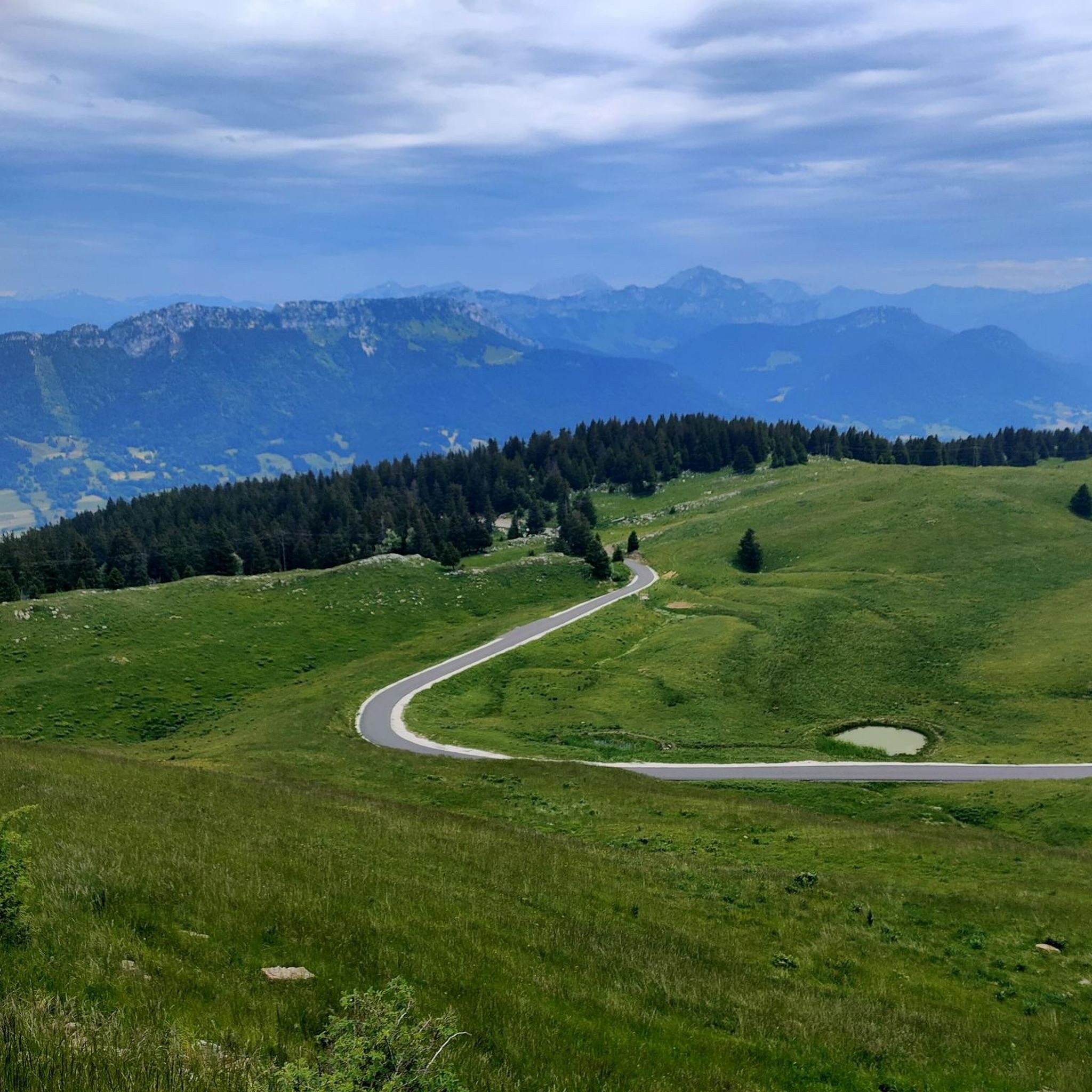
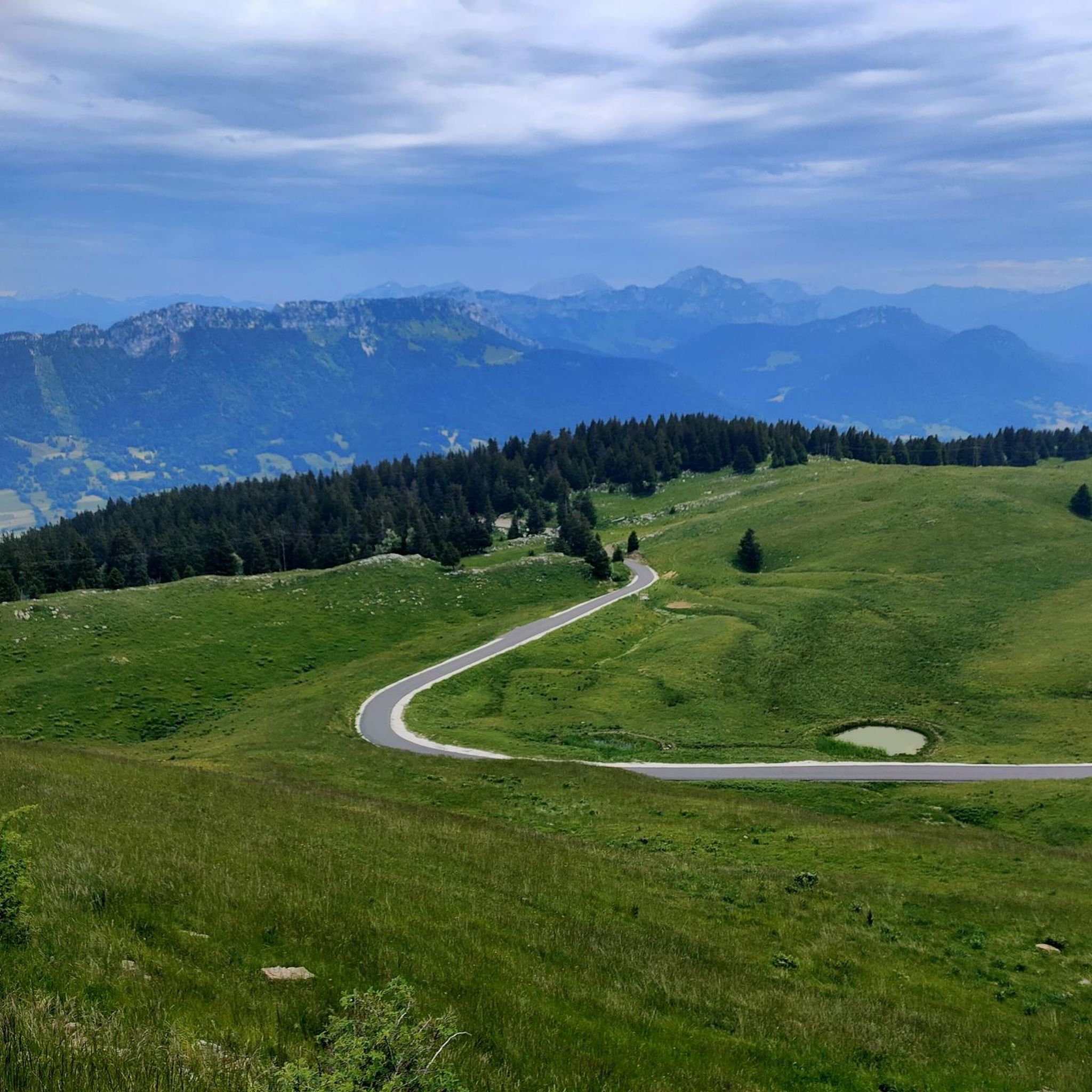
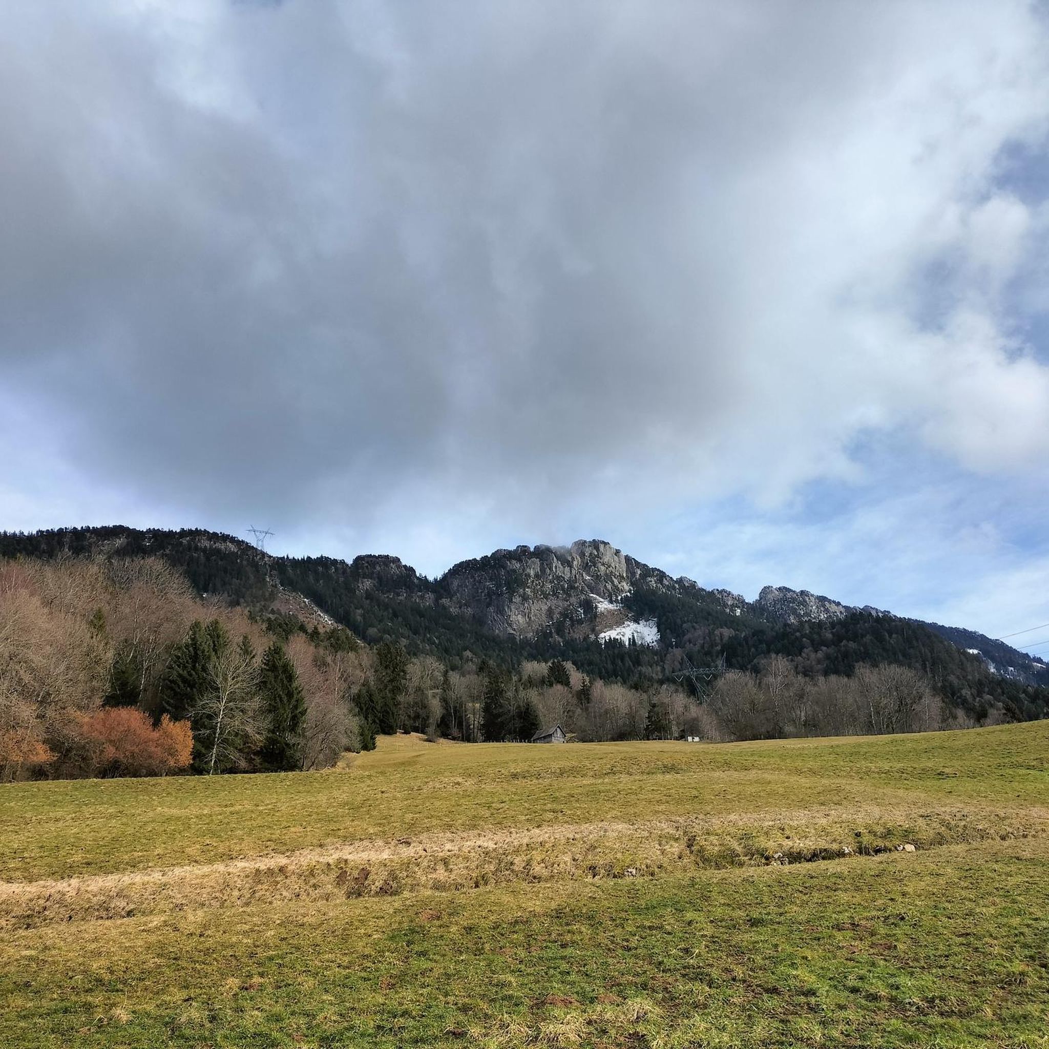
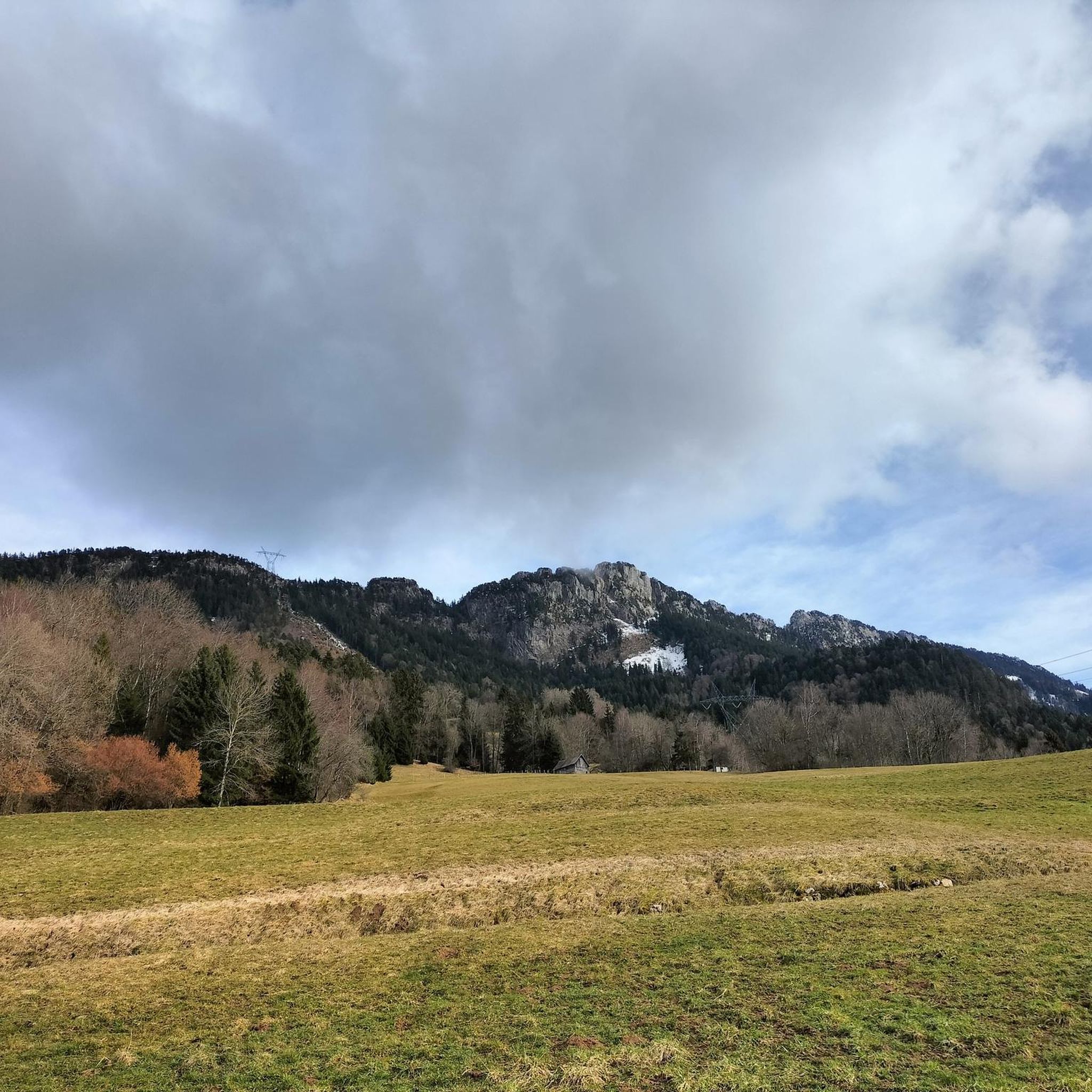

Tips from the Community

Accessible by bike from Bellecombes en Bauges then via the Route des Monts. Gravel path going higher up to turn towards Doucy en Bauges or to the closer Ailes du Nant.
0
0
Lake side, via Entrevernes, the last kilometers by bike are tricky or even impassable (ruts and steps). It is possible to climb back and forth to the edge of the last forest before the start of the road bike trail. Bauges side from Mont-Derriere, the slope remains very steep with ruts and some wooden structures. To be preferred for hiking, summer and winter 🥾, as evidenced by the mainly pedestrian signage.
0
0

Beautiful cycle path with mountain views, Railway line cycle path.
2
0

A sumptuous panorama of Mont-Blanc
0
0
Long and difficult but a great reward at the end
0
0


Highest point of Semnoz. Amazing views of Alps and surrounding countryside
0
0

Calm at altitude... On site, you will find hikers, cows, fresh air, grass, nature, parking lots and cyclists. Everything is there to relax and recharge your batteries. By respecting the signs regarding bicycles, the dangers of cows, the pedestrian routes, the mountain will be for everyone. A panoramic view of the area offers 360 degrees of beauty via a hike. Numerous on-site parking. Trail running here is great with multiple down and up hills through the forest. 👌
1
0
Frequently Asked Questions
How many running routes are available in La Chapelle-Saint-Maurice?
There are over 340 running routes available around La Chapelle-Saint-Maurice, catering to various preferences and fitness levels. These include a mix of easy, moderate, and challenging trails.
What kind of terrain can I expect on the running trails around La Chapelle-Saint-Maurice?
The region offers diverse terrain for running. You'll find everything from gentle lakeside paths along Lake Annecy, providing stunning views and minimal elevation, to challenging mountain trails within the Massif des Bauges Regional Natural Park. There are also numerous forested paths and alpine pastures, offering varied surfaces from asphalt to gravel and dirt.
Are there any easy running routes suitable for beginners in La Chapelle-Saint-Maurice?
Yes, there are 27 easy running routes in the area. Many of these are found along the northern waterfront of Lake Annecy, offering flat, scenic paths perfect for casual jogs. For example, the Historic locomotive – Old locomotive loop from Lathuile is an easy 4.6 km trail through a historic area.
What are the options for challenging trail running in the region?
For experienced runners seeking a challenge, La Chapelle-Saint-Maurice offers 159 difficult routes. These often involve significant elevation gains within the Massif des Bauges. A notable example is the Oratory – View of Lake Annecy loop from Lathuile, an 18.3 km trail with expansive views and considerable ascent.
Are there any circular running routes in La Chapelle-Saint-Maurice?
Many of the running routes in the area are designed as loops, allowing you to start and finish at the same point. For instance, the Crêt de Châtillon Summit – Semnoz Refuge loop from Leschaux is a challenging 11.7 km circular path that ascends to a summit, offering mountain scenery.
What can I see along the running routes in terms of landmarks or viewpoints?
The routes often feature spectacular natural viewpoints and landmarks. You can enjoy stunning views of Lake Annecy and the distant Mont Blanc from higher elevations, such as those found on the View from Croix du Chef-Lieu overlooking Lake Annecy. Mountain peaks like the Crêt de Châtillon Summit are also accessible on certain trails.
What do other runners enjoy the most about jogging in La Chapelle-Saint-Maurice?
The running routes in La Chapelle-Saint-Maurice are highly rated by the komoot community, with an average score of 4.4 stars from over 270 reviews. Runners frequently praise the diverse landscapes, from the scenic Lake Annecy shoreline to the varied terrain of the Massif des Bauges, and the numerous forested paths that offer a range of experiences.
Is La Chapelle-Saint-Maurice a good destination for long-distance running?
Absolutely. The region's extensive network of trails, including options within the Massif des Bauges and the nearby 'Voie Verte' paved cycling path along Lake Annecy, provides excellent opportunities for long-distance running. Routes like the Oratory – Les Ailes du Nant loop from Lathuile, at over 22 km, cater to those looking for longer runs.
Are there any running routes that pass by mountain passes?
Yes, several routes in the Massif des Bauges Regional Natural Park will take you through or near mountain passes. For instance, you might encounter passes like Col de la Forclaz or Leschaux Pass on some of the more challenging trails, offering unique views and a sense of accomplishment.
What is the best season for running in La Chapelle-Saint-Maurice?
The area is enjoyable for running across multiple seasons. Spring and autumn offer pleasant temperatures and vibrant scenery. Summer is ideal for lakeside runs, with the option for a refreshing dip in Lake Annecy afterwards. While winter running is possible, especially on lower elevation paths, higher mountain trails may require appropriate gear due to snow and ice.
Are there any running routes that offer views of the Roc des Boeufs?
Yes, some routes provide views of the impressive Roc des Boeufs. For a challenging run that includes this feature, consider the Sollier Chalets – Roc des Boeufs loop from Bellecombe-en-Bauges, an 8.3 km difficult trail with significant elevation.
Most popular routes around La Chapelle-Saint-Maurice
Most popular attractions around La Chapelle-Saint-Maurice

Get inspired with the komoot mobile app


Explore more
Browse the best Running Trails & Routes in other regions.
