The best walks and hikes around Migennes
4.6
(59)
292
hikers
53
hikes
Hiking around Migennes offers routes through varied landscapes, characterized by river valleys, agricultural plains, and areas with ponds and lakes. The region's terrain is generally gentle, with low elevation gains, making it accessible for various hiking abilities. Trails often follow waterways like the Serein River and explore local natural areas.
Best hiking trails around Migennes
- The most popular hiking route is View of the Serein loop from Bassou, a 5.3 miles (8.6 km) trail that takes 2 hours 12…
Last updated: August 18, 2026
3.0
(2)
11
hikers
8.64km
02:12
30m
30m
Moderate hike. Good fitness required. Easily-accessible paths. Suitable for all skill levels.
5.0
(1)
16
hikers
10.9km
02:46
20m
20m
Moderate hike. Good fitness required. Easily-accessible paths. Suitable for all skill levels.

Sign up for free
4.0
(1)
5
hikers
10.9km
02:57
140m
140m
Moderate hike. Good fitness required. Easily-accessible paths. Suitable for all skill levels.
5
hikers
17.5km
04:39
180m
180m
Moderate hike. Good fitness required. Easily-accessible paths. Suitable for all skill levels.
5
hikers
11.4km
02:52
20m
20m
Moderate hike. Good fitness required. Easily-accessible paths. Suitable for all skill levels.
Get access to more routes and recommendations from other explorers.
Sign up for free
Already have an account?
Our route recommendations are based on thousands of hikes, rides, and runs completed by other people on komoot.
Start today with a free account
Your next adventure awaits.
Login or Signup
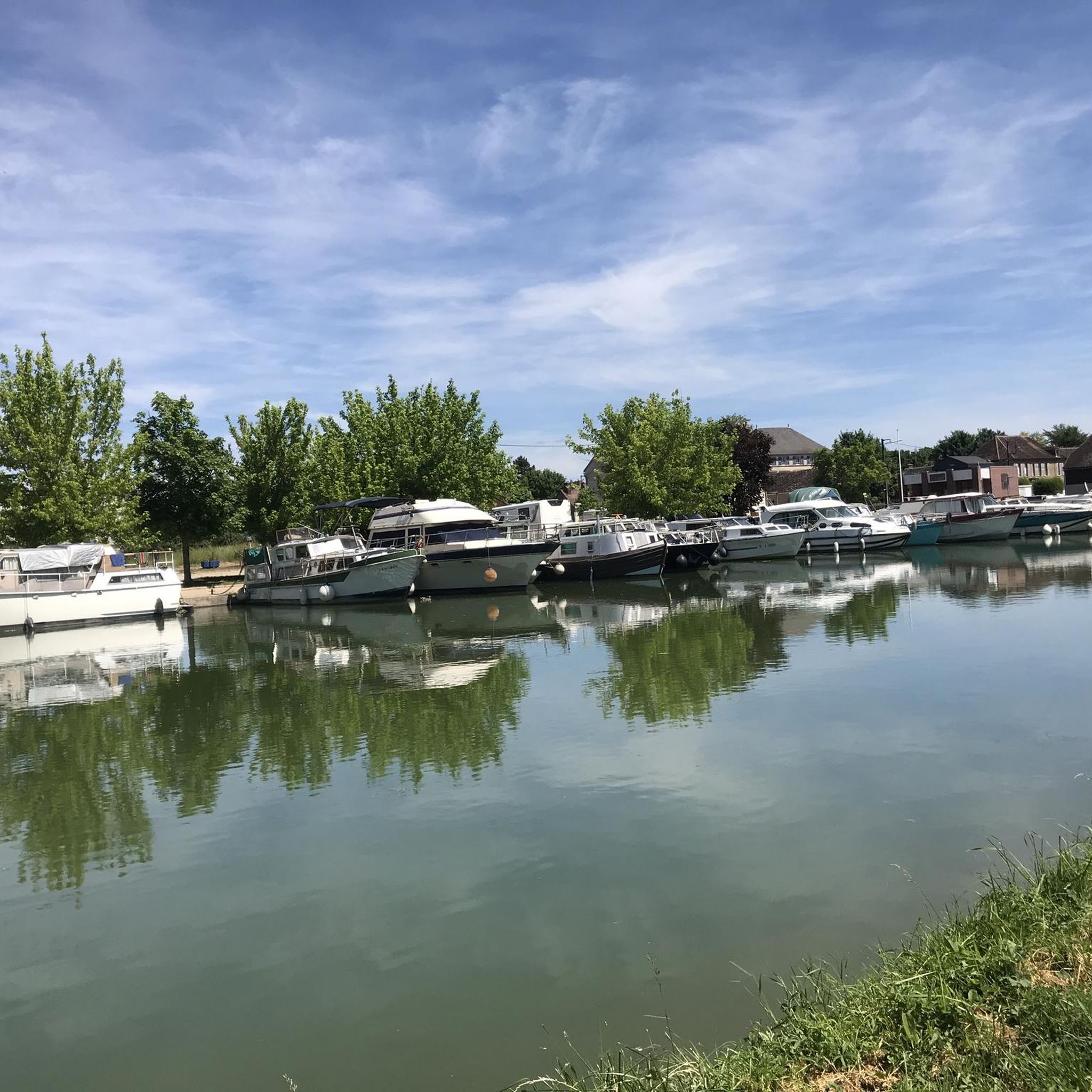
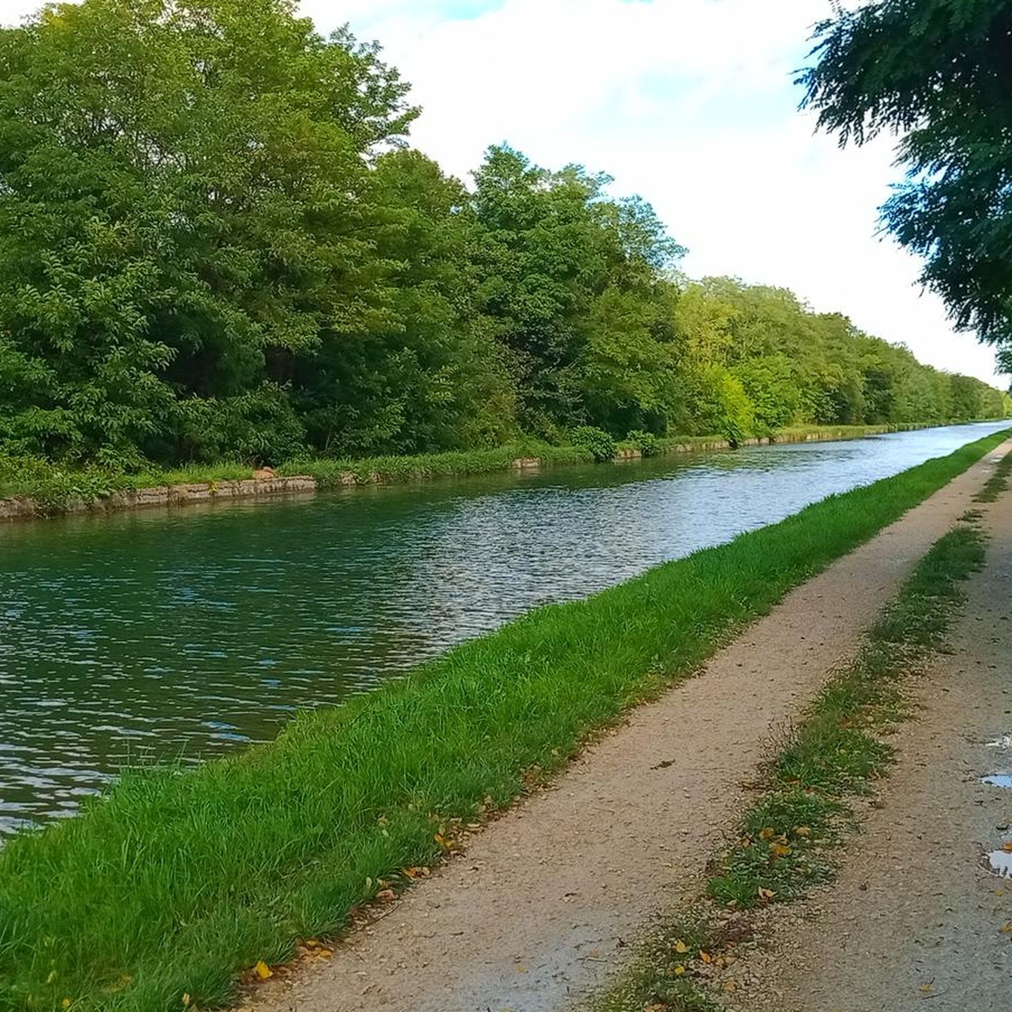



Tips from the Community

The Burgundy Canal has 189 locks, this one is lock n°1!
1
0

Frequently Asked Questions
How many hiking trails are available around Migennes?
There are over 45 hiking routes around Migennes, offering a variety of experiences. The region features 13 easy trails and 34 moderate trails, with no difficult routes, making it accessible for a wide range of hikers.
Are there any easy hiking trails suitable for beginners or families in Migennes?
Yes, Migennes offers 13 easy hiking trails, perfect for beginners or families looking for a relaxed outing. These routes typically feature gentle terrain and low elevation gains, often following river paths or exploring tranquil pond areas. For example, the area around the Serein River offers several accessible options.
What kind of terrain can I expect on hikes around Migennes?
Hiking around Migennes primarily features gentle terrain with low elevation gains. You'll encounter varied landscapes including river valleys, agricultural plains, and areas dotted with ponds and lakes. Trails often follow waterways like the Serein River, providing pleasant, mostly flat walking experiences.
Are there any circular walks or loop trails near Migennes?
Yes, many of the routes around Migennes are circular walks. For instance, the View of the Serein loop from Bassou is a popular 8.6 km trail, and the Étangs de Saint-Ange loop from Bussy-en-Othe offers a 10.9 km journey through woodlands and past ponds.
What attractions or landmarks can I see while hiking in Migennes?
While hiking, you can explore several interesting points. The region is known for its waterways, such as the Canal de Bourgogne at Brienon-sur-Armançon. You might also encounter features like the Start of the Gurgy diversion or the Gurgy diversion lock, which are part of the local canal system.
Are the hiking trails in Migennes dog-friendly?
Many trails in the Migennes region are suitable for walking with dogs, especially those that follow river paths and agricultural fields. It's always advisable to keep dogs on a leash, particularly near livestock or in nature reserve areas, and to check specific route details for any restrictions.
What do other hikers enjoy most about hiking in Migennes?
The hiking routes in Migennes are highly rated by the komoot community, with an average score of 4.6 stars from over 50 reviews. Hikers often praise the tranquil riverside paths, the gentle terrain suitable for all levels, and the peaceful atmosphere of the agricultural plains and pond areas.
Are there any longer, more challenging moderate hikes around Migennes?
For those seeking a longer moderate hike, the Tour de Looze loop from Migennes is a good option. This route covers 17.5 km, offering a more extended exploration of the local landscape while still maintaining the region's characteristic gentle elevation changes.
Is there public transport available to reach hiking trailheads in Migennes?
Migennes is a regional hub, and some trailheads may be accessible via local public transport, particularly those starting directly from the town or nearby villages. For specific routes, it's recommended to check local bus schedules or train connections to the starting points of your chosen hike.
Where can I find parking for hiking trails in Migennes?
Parking is generally available in or near the villages where many trails begin. For routes starting directly from Migennes, you can often find public parking within the town. For trails in smaller hamlets like Bassou or Bussy-en-Othe, designated parking areas are usually available near the trailhead or in the village center.
What is the best time of year to go hiking in Migennes?
The best time to hike in Migennes is typically from spring through autumn (April to October). During these months, the weather is generally pleasant, and the natural landscapes, including river valleys and agricultural fields, are at their most vibrant. Winter hikes are possible, but some paths might be muddy or less accessible.
Are there any hikes that explore the riverside areas near Migennes?
Absolutely. The region is defined by its rivers. The Migennes Plage loop from Laroche - Migennes is a great example, offering a 10.5 km route that specifically explores the riverside areas and the local 'plage' (beach) near Migennes.
Most popular attractions around Migennes

Get inspired with the komoot mobile app


Explore more
Browse the best Hikes in other regions.
