The best walks and hikes around Athesans-Étroitefontaine
4.5
(68)
530
hikers
68
hikes
Hiking around Athesans-Étroitefontaine offers access to a landscape characterized by gentle hills and agricultural plains. The region features a network of trails often passing through woodlands and alongside small rivers. Elevation changes are generally modest, making many routes accessible for various fitness levels. The area is also defined by diverse natural features, including the foothills of the Massif des Vosges.
Best hiking trails around Athesans-Étroitefontaine
- The most popular hiking route is Tacot trail, a 5.0 miles (8.0 km) trail…
Last updated: July 2, 2026
4.8
(5)
15
hikers
8.03km
01:41
60m
60m
Easy hike. Great for any fitness level. Easily-accessible paths. Suitable for all skill levels.
4.8
(5)
26
hikers
13.4km
03:44
240m
250m
Moderate hike. Good fitness required. Easily-accessible paths. Suitable for all skill levels.

Sign up for free
5.0
(2)
12
hikers
12.9km
03:22
90m
90m
Moderate hike. Good fitness required. Easily-accessible paths. Suitable for all skill levels.
4.5
(2)
5
hikers
5.52km
01:27
40m
40m
Easy hike. Great for any fitness level. Easily-accessible paths. Suitable for all skill levels.
2
hikers
4.50km
01:15
80m
80m
Easy hike. Great for any fitness level. Easily-accessible paths. Suitable for all skill levels.
Get access to more routes and recommendations from other explorers.
Sign up for free
Already have an account?
Our route recommendations are based on thousands of hikes, rides, and runs completed by other people on komoot.
Start today with a free account
Your next adventure awaits.
Login or Signup
Popular around Athesans-Étroitefontaine


Other adventures around Athesans-Étroitefontaine

Tips from the Community

The Tacot route follows the former route of a secondary railway line that connected Troyes to Saint-Florentin. Commissioned at the beginning of the 20th century, it was used to transport passengers and rural goods. This section follows the Rognon River, through the middle of the forest.
1
0
La Vergenne is a former industrial estate linked to pottery, located near Athesans. It still boasts a 19th-century kiln, typical of the region, as well as several buildings related to production.
1
0
Athesans, a former pottery village, is characterized by this artisanal expertise. Kilns, traditional buildings, and remains related to ceramics production can still be found there.
1
0
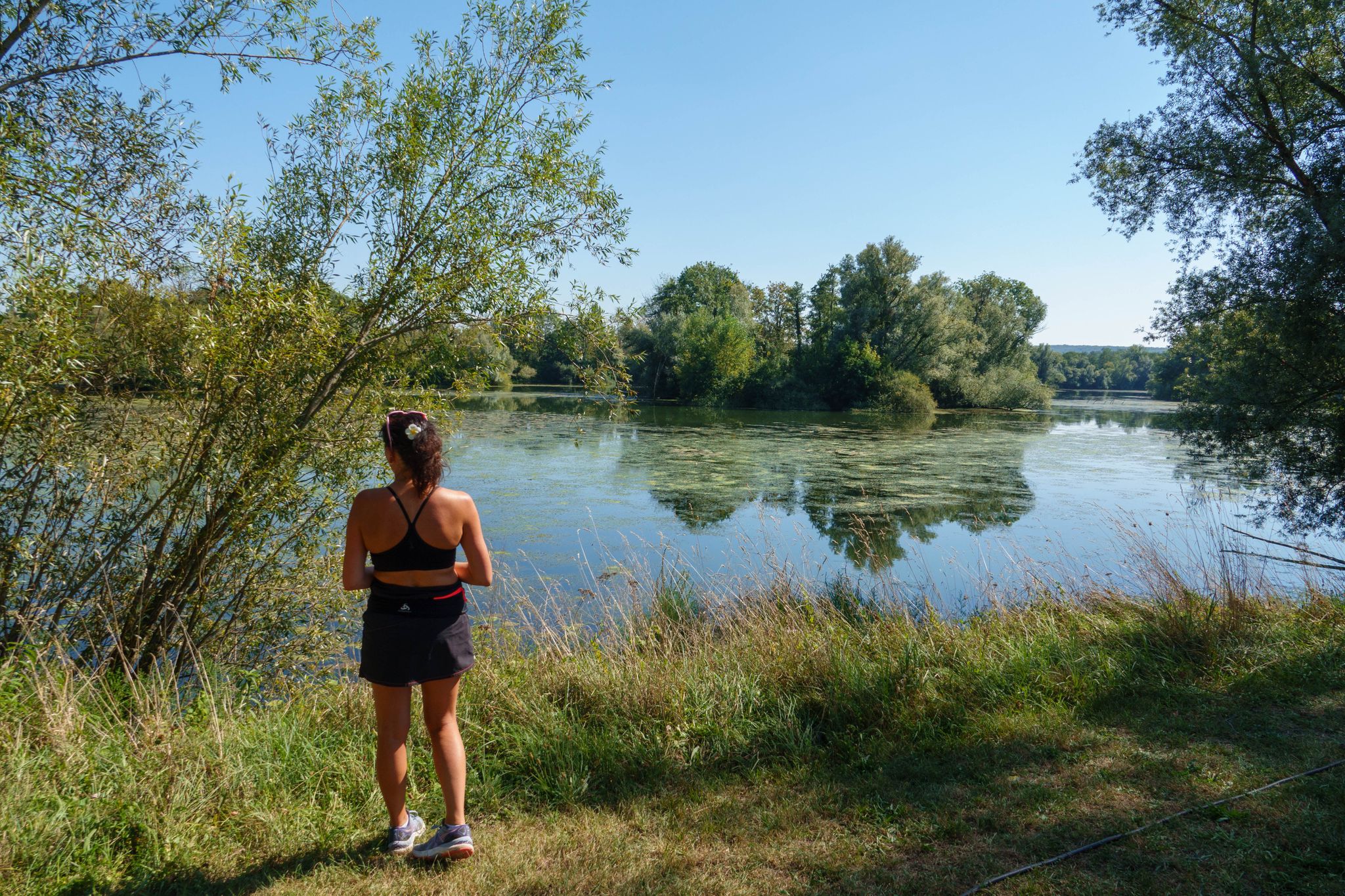
The base of the Saline is a perfect leisure area for enjoying outdoor activities such as hiking, running or cycling. There are several picnic spots there. Swimming is prohibited.
2
0

On the leisure side, the Base has family facilities accessible all year round (beach volleyball, multisports, pétanque, fitness, table tennis, etc.). On the nautical side, choose your boat (canoe-kayak, paddle, fun-boat, etc.) to sail on the nautical pond.
2
0

Viewpoint allowing you to admire the foothills of the Vosges and N.-D.-du-Haut de Ronchamp. Orientation table.
0
0
Of the old church built in 1566, only the tower and a secondary chapel escaped destruction following a fire in the 1850s and fighting during the Second World War.
0
0
The oldest parts of this castle date from the 15th century: portal, turret and vaulted cellars, the rest of the castle is a more recent reconstruction after the destruction by Swedish troops in 1636. Private property.
1
0
Frequently Asked Questions
How many hiking trails are available in Athesans-Étroitefontaine?
There are over 60 hiking trails around Athesans-Étroitefontaine, providing a wide range of options for various skill levels and preferences.
Are there easy hiking trails suitable for beginners or families in Athesans-Étroitefontaine?
Yes, Athesans-Étroitefontaine offers over 30 easy hiking routes. A particularly good choice for families or beginners is the Tacot trail, which is 5.0 miles (8.0 km) long and follows a flat, direct path along a former railway line.
What kind of landscape will I encounter on hikes in Athesans-Étroitefontaine?
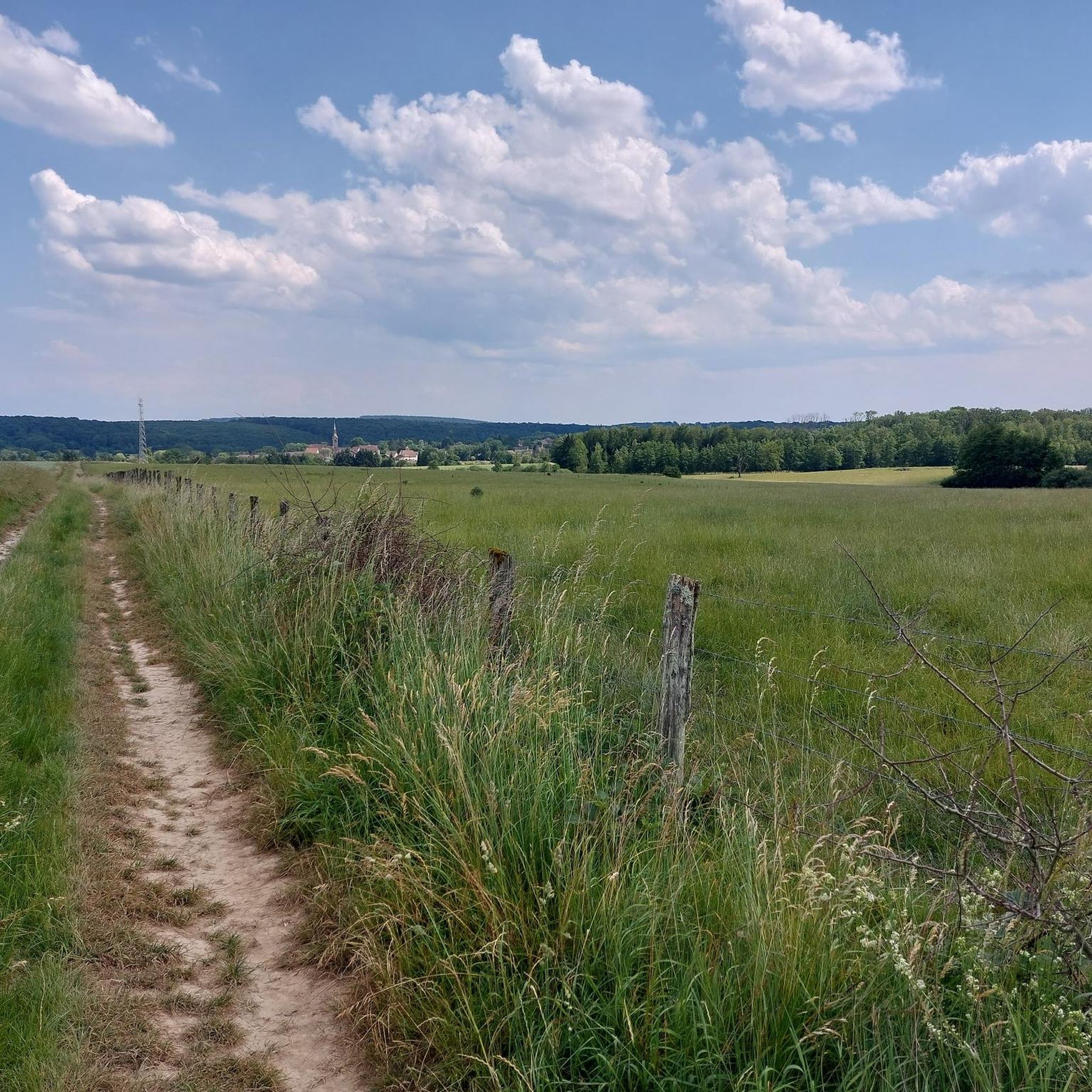
The region is characterized by gentle hills, agricultural plains, and quiet forest paths. Many routes pass through woodlands and alongside small rivers, with generally modest elevation changes.
Are there any circular walks in Athesans-Étroitefontaine?
Yes, many routes in the area are circular. For example, the Gouhenans Castle – La Planche Vellefaux loop from Villafans is a moderate 8.5-mile (13.7 km) path that takes you through varied terrain and past historical sites.
What do other hikers enjoy most about the trails in Athesans-Étroitefontaine?
The trails in Athesans-Étroitefontaine are highly rated by the komoot community, with an average score of 4.6 stars. Hikers often praise the quiet woodlands, the gentle nature of the paths, and the pleasant rural scenery.
Are there any historical sites or landmarks to see along the hiking routes?
Yes, some routes incorporate historical elements. The Château de Villersexel – Bridge Over the Ognon loop from Villersexel, for instance, allows you to see the historic Château de Villersexel and the Bridge Over the Ognon.
What is the typical duration for a hike in this region?
Hike durations vary, but many routes are designed for a half-day or full-day outing. For example, the Gouhenans Castle – La Planche Vellefaux loop from Gouhenans, which is 8.8 miles (14.2 km), typically takes about 3 hours 55 minutes to complete.
Are there any trails that pass by water features or rivers?
Yes, the landscape often includes small rivers. The Château de Villersexel – Bridge Over the Ognon loop from Villersexel specifically features a bridge over the Ognon river, offering pleasant waterside views.
Are there any longer, more challenging hikes for experienced hikers?
While the region is known for its gentle terrain, there are a few more challenging options. The Saline Base – Saline Recreation Area loop from Vouhenans is a moderate 9.5-mile (15.4 km) route that offers a longer distance for those seeking a more extended walk.
What is the best time of year to go hiking in Athesans-Étroitefontaine?
The region's gentle terrain and varied scenery make it suitable for hiking during most of the year. Spring and autumn offer pleasant temperatures and beautiful natural colors, while summer provides longer daylight hours. Even winter can be enjoyable for a quiet walk, though conditions may vary.
Are there any specific viewpoints or scenic spots along the trails?
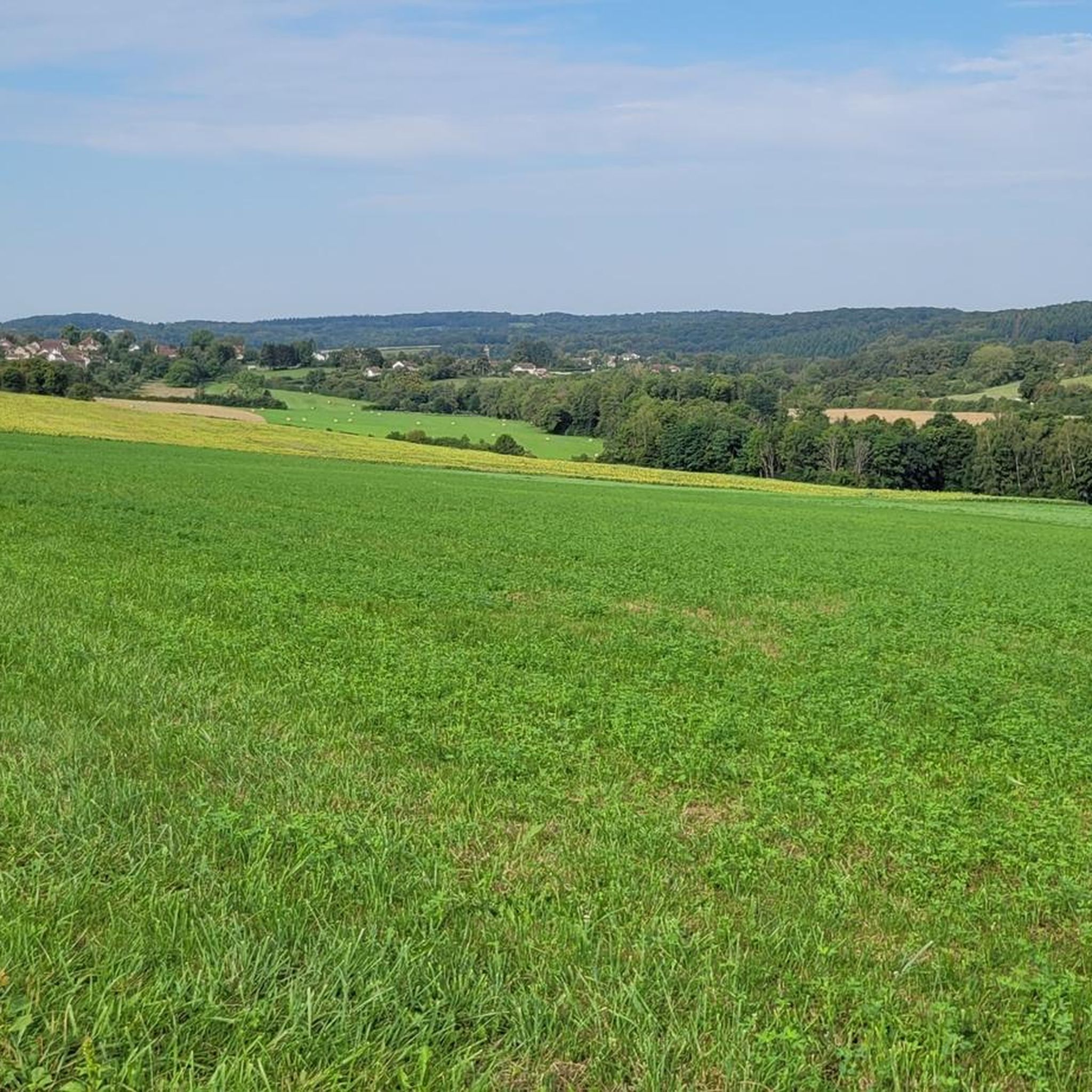
While specific named viewpoints are not highlighted, the trails often traverse open fields and gentle hills, providing expansive views of the agricultural plains and surrounding woodlands. The varied terrain ensures a constantly changing scenic backdrop.
Most popular routes around Athesans-Étroitefontaine
Most popular attractions around Athesans-Étroitefontaine

Get inspired with the komoot mobile app


Explore more
Browse the best Hikes in other regions.
