The best walks and hikes around Les Magnils-Reigniers
4.5
(81)
350
hikers
44
hikes
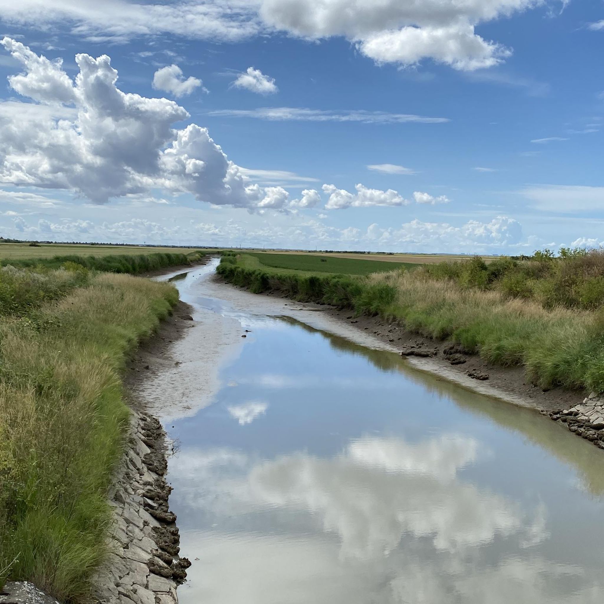
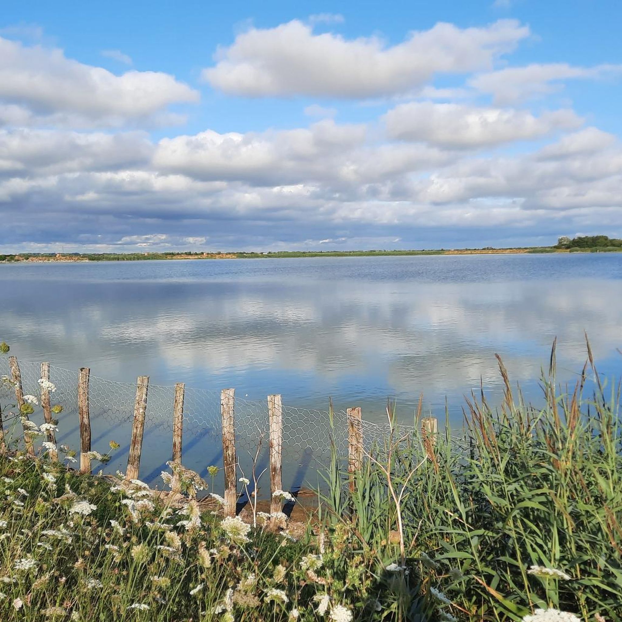
Hiking around Les Magnils-Reigniers offers routes through varied landscapes, including lakeside paths and forested areas. The region features gentle rolling terrain with modest elevation changes, suitable for different hiking abilities. Many trails traverse agricultural lands and small villages, providing a mix of natural and cultural scenery. The area is characterized by its green spaces and water features, such as Lac du Marillet.
Best hiking trails around Les Magnils-Reigniers
- The most popular hiking route is Charming town center – Lac du…
Last updated: July 1, 2026
5.0
(3)
19
hikers
13.8km
03:39
130m
140m
Moderate hike. Good fitness required. Easily-accessible paths. Suitable for all skill levels.
3.8
(4)
13
hikers
21.6km
05:44
220m
220m
Hard hike. Very good fitness required. Easily-accessible paths. Suitable for all skill levels.

Sign up for free
4.7
(3)
6
hikers
3.34km
00:51
10m
10m
Easy hike. Great for any fitness level. Easily-accessible paths. Suitable for all skill levels.
11
hikers
Easy hike. Great for any fitness level. Easily-accessible paths. Suitable for all skill levels.
8
hikers
9.42km
02:31
110m
110m
Moderate hike. Good fitness required. Easily-accessible paths. Suitable for all skill levels.
Get access to more routes and recommendations from other explorers.
Sign up for free
Already have an account?
Our route recommendations are based on thousands of hikes, rides, and runs completed by other people on komoot.
Start today with a free account
Your next adventure awaits.
Login or Signup


Tips from the Community

This lake is formed by a very dense network of rivers and streams coming from the La Chaize forest. Swimming is prohibited there. Fauna & flora to observe: Brown Orthetrum, Eagle Fern, European Oriole, Common Teal, Common Nightingale
0
0
This picturesque village is a perfect place for a break and refreshments. There are several restaurants and a nice café Tea room "Les Rives Enchan'thé just after the bridge. (The café is open every day from 1:30 p.m. to 7 p.m. except Sunday and Monday).
0
0

very beautiful lake, the little detour on the jetty is worth it, with a sunset it's just magnificent
0
0


Very beautiful reservoir that can be circled almost entirely on foot or by bike (many steps).
0
0

pretty forest. ideal for a family walk
0
0
beautiful lake with a hiking trail circling. accessible to family
0
0
Frequently Asked Questions
How many hiking trails are available around Les Magnils-Reigniers?
There are over 45 hiking routes documented on komoot for the Les Magnils-Reigniers area. These range from easy strolls to more challenging long-distance paths, offering diverse options for all skill levels.
Are there easy hiking trails suitable for families or beginners in Les Magnils-Reigniers?
Yes, the region offers 21 easy routes, many of which are suitable for families or those looking for a gentle walk. A good option is the Green Oaks Trail loop from Sainte-Gemme-la-Plaine, a 2.1-mile (3.3 km) path through pleasant oak forests.
What kind of scenery can I expect on hikes around Les Magnils-Reigniers?
Hiking around Les Magnils-Reigniers offers varied landscapes, including tranquil lakeside paths, dense forested areas, and routes traversing agricultural lands and small villages. The terrain is generally gentle with modest elevation changes, characterized by green spaces and water features like Lac du Marillet.
Are there any circular hiking routes in the area?
Yes, many of the trails around Les Magnils-Reigniers are circular, allowing you to start and end at the same point. An example is the Toller alter Baum loop from Communauté de communes Sud-Vendée-Littoral, an easy 2.7-mile (4.3 km) route.
Are there any trails with good viewpoints?
Absolutely. Many routes offer scenic views, particularly those around Lac du Marillet. The Lac de Marillet – Beautiful view. loop from Mareuil-sur-Lay is a more challenging 13.2-mile (21.3 km) path specifically known for its extensive views over the lake and surrounding natural areas.
What interesting places can I see along the hiking trails?
The region features several points of interest. You might encounter historical structures like the Porte des Portes or the Saint-Sauveur Church of Mareuil-sur-Lay. Natural landmarks include the expansive Marillet Lake, which is a focal point for many trails.
When is the best time of year to hike in Les Magnils-Reigniers?
The best time to hike in Les Magnils-Reigniers is typically during spring (April-June) and autumn (September-October) when the weather is mild and the natural scenery is vibrant. Summer can also be pleasant, but it's advisable to start early to avoid the midday heat.
How do other hikers rate the trails in Les Magnils-Reigniers?
The trails in Les Magnils-Reigniers are highly rated by the komoot community, with an average score of 4.5 stars from over 75 reviews. Hikers often praise the well-maintained paths, the peaceful lakeside environments, and the charming rural scenery.
Are there longer or more challenging hiking options available?
Yes, for those seeking a greater challenge, there are 2 difficult routes and 22 moderate routes. The Charming town center loop from Mareuil-sur-Lay-Dissais is a moderate 5.8-mile (9.4 km) route that offers a good workout with varied terrain.
Is parking generally available near the trailheads?
While specific parking information varies by trailhead, many villages and popular starting points around Les Magnils-Reigniers offer public parking facilities. It's often possible to find roadside parking or designated areas, especially near attractions like Lac du Marillet or in town centers.
Can I bring my dog on the hiking trails?
Many trails in the Les Magnils-Reigniers region are dog-friendly, especially those in natural areas and forests. However, it's always recommended to keep your dog on a leash, particularly when passing through agricultural lands or near livestock, and to check for any specific local regulations.
Are there any less crowded hiking options?
While popular routes like those around Lac du Marillet can see more visitors, the region has 45 total routes, offering plenty of opportunities to find quieter paths. Exploring some of the lesser-known village-to-village trails or forest loops can provide a more secluded experience.
Most popular routes around Les Magnils-Reigniers
Most popular attractions around Les Magnils-Reigniers

Get inspired with the komoot mobile app


Explore more
Browse the best Hikes in other regions.
