The best walks and hikes around Champtocé-Sur-Loire
4.4
(160)
909
hikers
121
hikes
Hiking around Champtocé-Sur-Loire offers trails that explore the landscape surrounding the Loire River. The region is characterized by its riverine environment, featuring paths along the water's edge and through agricultural areas. Elevation changes are generally gentle, with routes suitable for various fitness levels. The terrain primarily consists of riverside paths and open countryside.
Best hiking trails around Champtocé-Sur-Loire
- The most popular hiking route is Montjean-sur-Loire Bridge – Montjean-sur-Loire loop from Montjean-sur-Loire, a 2.4 miles (3.8 km) trail that takes…
Last updated: August 19, 2026
14
hikers
Easy hike. Great for any fitness level. Easily-accessible paths. Suitable for all skill levels.
4.3
(3)
7
hikers
Hard hike. Very good fitness required. Easily-accessible paths. Suitable for all skill levels.

Sign up for free
1.0
(1)
6
hikers
Moderate hike. Good fitness required. Easily-accessible paths. Suitable for all skill levels.
4
hikers
15.6km
03:57
30m
30m
Moderate hike. Good fitness required. Easily-accessible paths. Suitable for all skill levels.
1.0
(1)
6
hikers
Moderate hike. Good fitness required. Easily-accessible paths. Suitable for all skill levels.
Get access to more routes and recommendations from other explorers.
Sign up for free
Already have an account?
Our route recommendations are based on thousands of hikes, rides, and runs completed by other people on komoot.
Start today with a free account
Your next adventure awaits.
Login or Signup

Tips from the Community

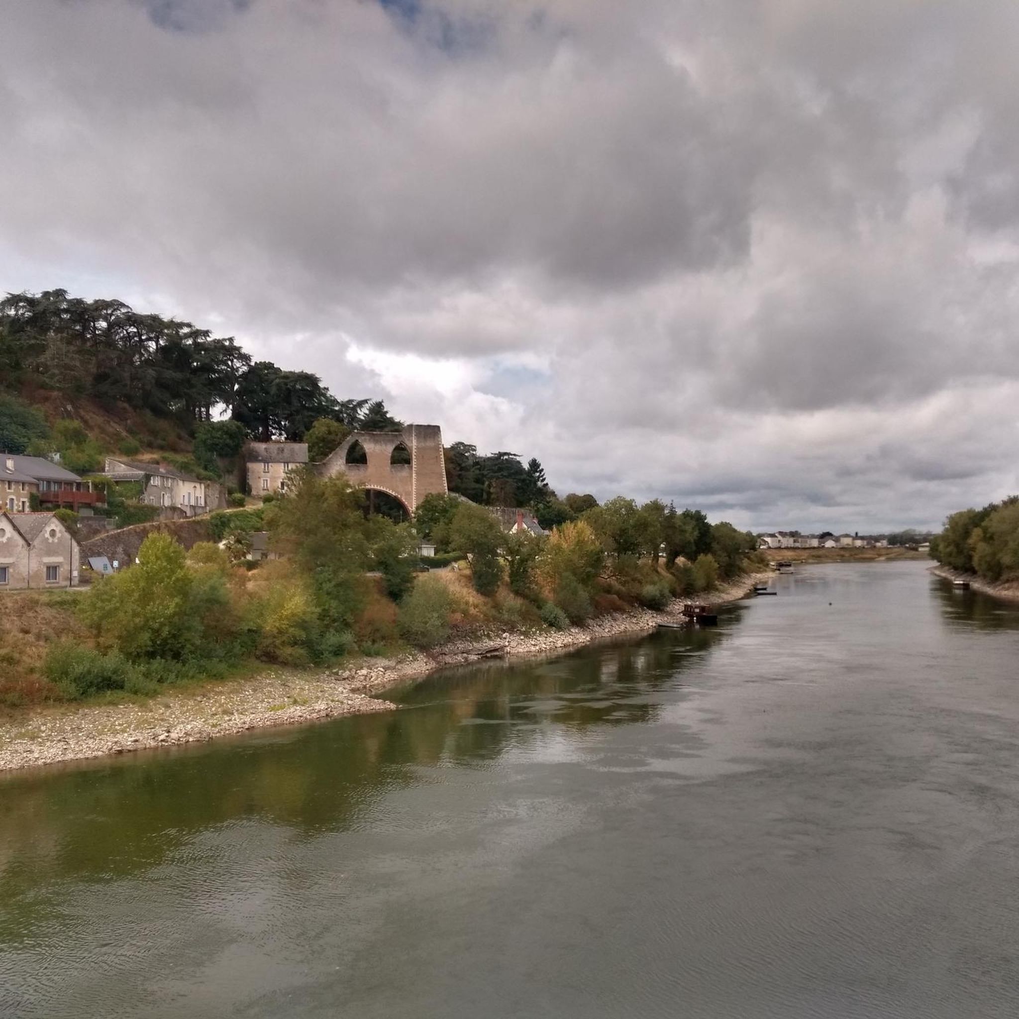
Beautiful view of the structure from the iron bridge.
0
0

The walk along the Loire from Ingrandes to Montjean is only possible by crossing the river at Ingrandes, for this you must use the ferry made available to walkers.
0
0

Rest stop for drinks and best ever pancakes at Ma Roulette. Comfy sofas and shelters. Friendly hosts.
0
0

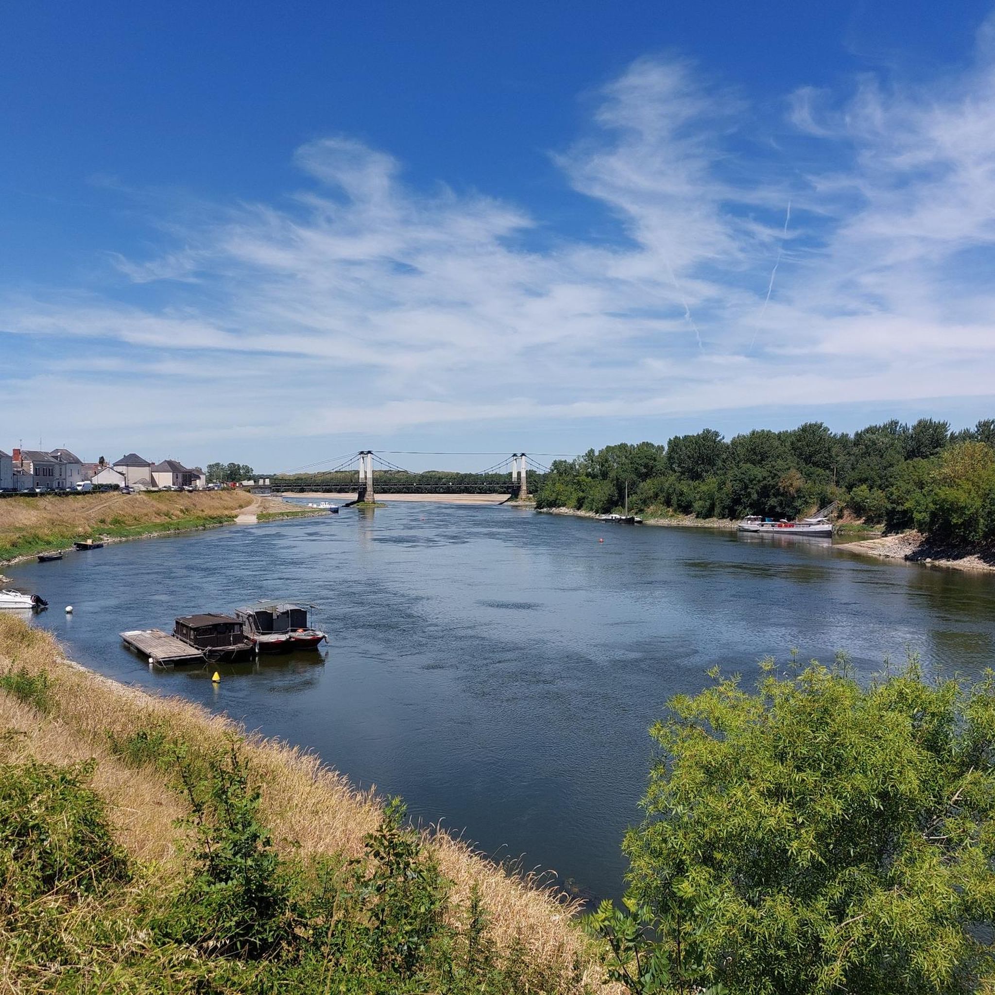
Beautiful suspension bridge spanning the Loire. From the bridge you have an excellent view of the Loire, its banks, and many boatmen's boats.
0
0


Very nice metal bridge. Unfortunately not very well secured for bikes and hikers.
2
0
Rooster "Chantefer" created in 1997 in Montjean sur Loire by Gérard Garnier, dit Gari.
1
0

Beautiful suspension bridge at Montjean-sur-Loire. Also a good place for a break.
1
0
Frequently Asked Questions
How many hiking trails are available around Champtocé-Sur-Loire?
There are over 110 hiking routes around Champtocé-Sur-Loire, offering a wide range of options for different preferences and fitness levels. The majority are easy to moderate, with a few more challenging options.
Are there easy or family-friendly hiking options in Champtocé-Sur-Loire?
Yes, Champtocé-Sur-Loire offers many easy and family-friendly hikes, particularly those along the Loire River. An excellent option is the Montjean-sur-Loire Bridge – Montjean-sur-Loire loop from Montjean-sur-Loire, which is 2.4 miles (3.8 km) and features gentle terrain suitable for all ages.
Can I find circular walks around Champtocé-Sur-Loire?
Many of the routes in the region are circular, allowing you to start and end at the same point. For example, the Montjean-sur-Loire Bridge – Suspension bridge over the Loire loop from Montjean-sur-Loire is a 7.0-mile (11.2 km) circular trail that explores riverine landscapes.
What kind of landscapes can I expect to see on hikes in Champtocé-Sur-Loire?
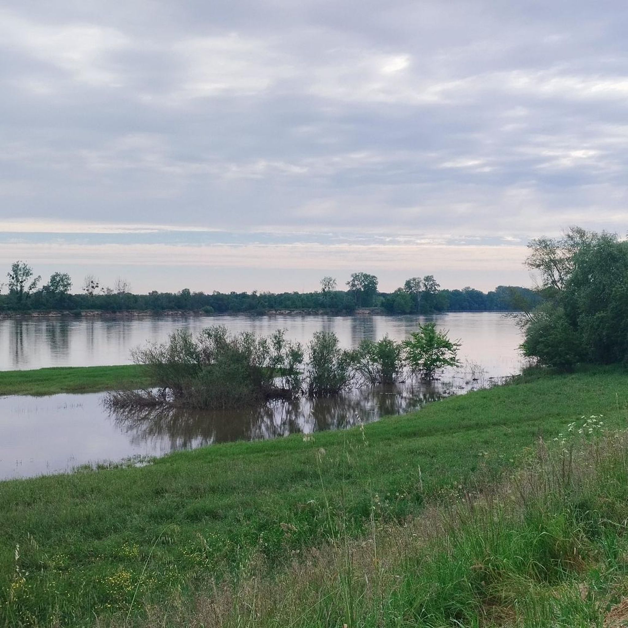
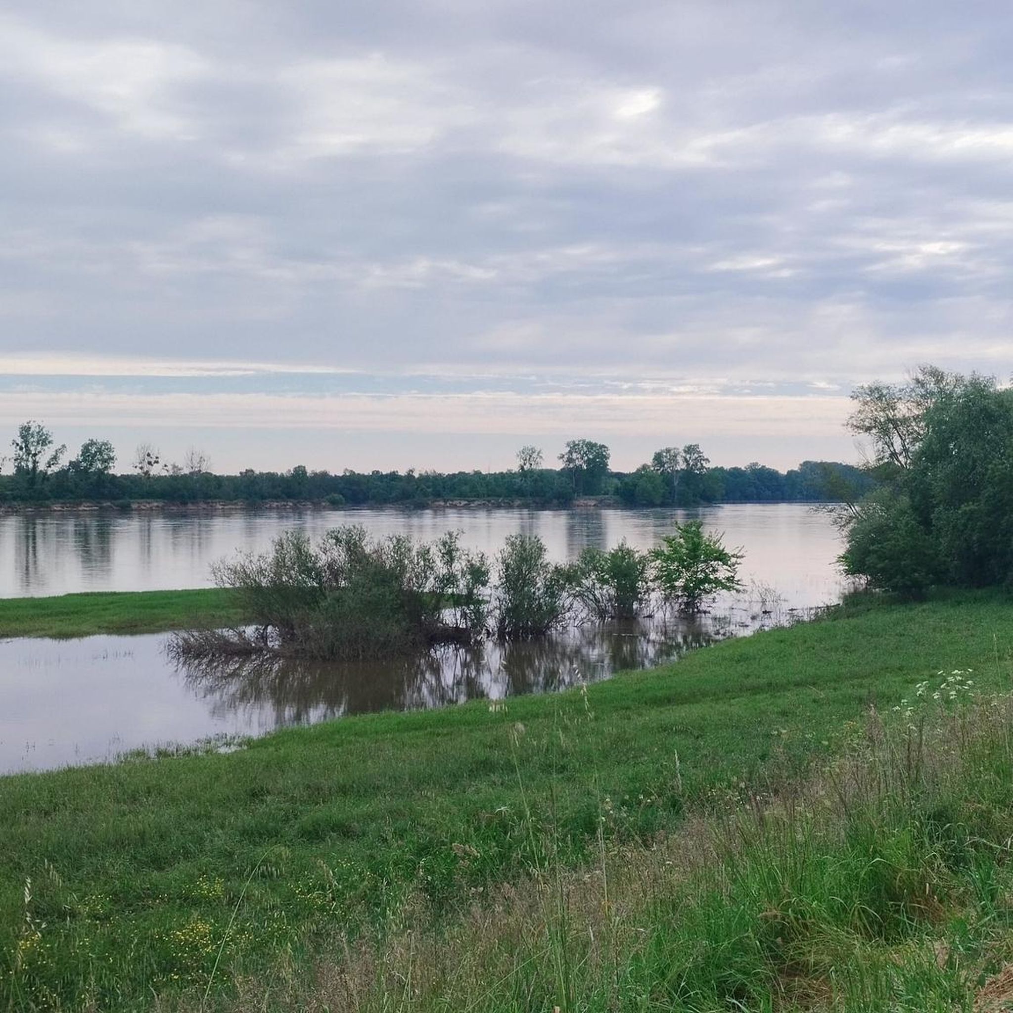
The region is characterized by its beautiful riverine environment, with paths often running along the Loire River. You'll also encounter open agricultural areas and gentle countryside, offering a mix of water views and rural scenery.
Are there any challenging long-distance hikes available?
For those seeking a more challenging experience, the region does offer longer routes. The Suspension bridge over the Loire – Le Fresnay loop from Ingrandes-sur-Loire is a difficult 12.4-mile (19.9 km) path that explores the wider river landscape, including a notable suspension bridge.
What are some interesting landmarks or attractions to see along the trails?
Hiking trails in the area often pass by historical and natural points of interest. You might encounter the impressive Suspension bridge over the Loire, or historical sites like the Coal mine headframe and lime kiln. The Château de Champtocé s/Loire is also a significant local landmark.
What do other hikers enjoy most about hiking in Champtocé-Sur-Loire?
The area is highly rated by the komoot community, with an average score of 4.4 stars from over 130 reviews. Hikers often praise the peaceful riverside paths, the gentle elevation, and the scenic views of the Loire River and surrounding countryside.
Is Champtocé-Sur-Loire suitable for hiking in winter?
While the region's trails are generally accessible year-round, winter hiking in Champtocé-Sur-Loire can be pleasant, especially along the river paths. Be prepared for cooler temperatures and potentially muddy sections, and always check local weather conditions before heading out.
Are there any hikes that offer good viewpoints?
Many routes along the Loire River provide excellent panoramic views of the water and the surrounding landscape. The Saint-Florent-le-Vieil viewpoint is a notable spot offering expansive vistas, often incorporated into longer routes.
Are there any moderate-difficulty trails that are a good length for a half-day hike?
Yes, for a moderate half-day hike, consider the Chain tray – Suspension bridge over the Loire loop from Saint-Germain-des-Prés. This 9.9-mile (16.0 km) route offers a good balance of distance and moderate challenge, typically taking around 4 hours.
What is the best time of year to go hiking in Champtocé-Sur-Loire?
Spring and autumn are generally considered the best times for hiking in Champtocé-Sur-Loire. The weather is typically mild, and the natural scenery, whether blooming in spring or adorned with autumn colors, is particularly beautiful. Summer can also be pleasant, but be mindful of warmer temperatures.
Are there opportunities for wildlife spotting on the trails?
Given the riverine environment and agricultural areas, there are opportunities to observe local wildlife, especially various bird species along the Loire. Keep an eye out for waterfowl and other common countryside animals while enjoying your hike.
Most popular routes around Champtocé-Sur-Loire
Most popular attractions around Champtocé-Sur-Loire

Get inspired with the komoot mobile app


Explore more
Browse the best Hikes in other regions.
