The best walks and hikes around Plouvara
4.5
(555)
2,702
hikers
129
hikes
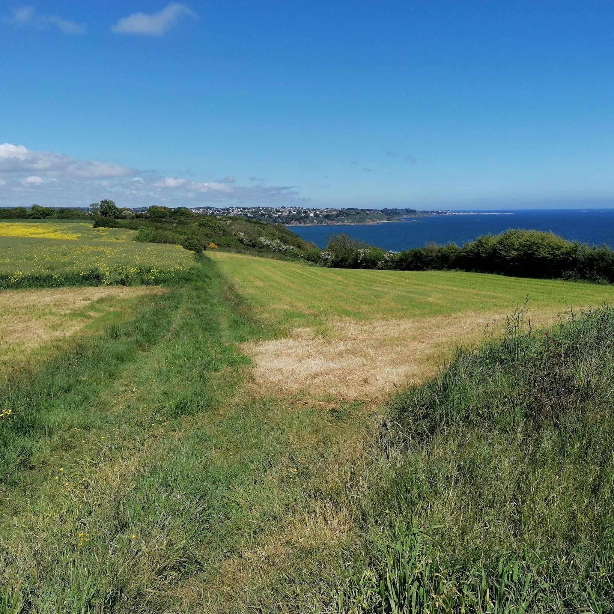
Hiking around Plouvara offers access to the varied landscapes of the Côtes-d'Armor department in Brittany, France. The municipality itself features an altitude range from 114m to 213m, indicating undulating terrain. The surrounding region is characterized by a mix of inland features, including forests and hills, and proximity to the renowned coastal paths of Brittany. This diverse geography provides a range of environments for outdoor activities.
Best hiking trails around Plouvara
- The most popular hiking route is Saint-Barthélémy Dam – Pont…
Last updated: July 5, 2026
4.7
(31)
160
hikers
17.5km
04:43
230m
230m
Moderate hike. Good fitness required. Easily-accessible paths. Suitable for all skill levels.
4.5
(8)
22
hikers
26.9km
07:15
350m
350m
Hard hike. Very good fitness required. Easily-accessible paths. Suitable for all skill levels.

Sign up for free
5.0
(1)
10
hikers
8.86km
02:20
80m
80m
Moderate hike. Good fitness required. Easily-accessible paths. Suitable for all skill levels.
7
hikers
1.60km
00:25
10m
10m
Easy hike. Great for any fitness level. Easily-accessible paths. Suitable for all skill levels.
5.0
(1)
3
hikers
9.91km
02:36
80m
80m
Moderate hike. Good fitness required. Easily-accessible paths. Suitable for all skill levels.
Get access to more routes and recommendations from other explorers.
Sign up for free
Already have an account?
Our route recommendations are based on thousands of hikes, rides, and runs completed by other people on komoot.
Start today with a free account
Your next adventure awaits.
Login or Signup
Tips from the Community


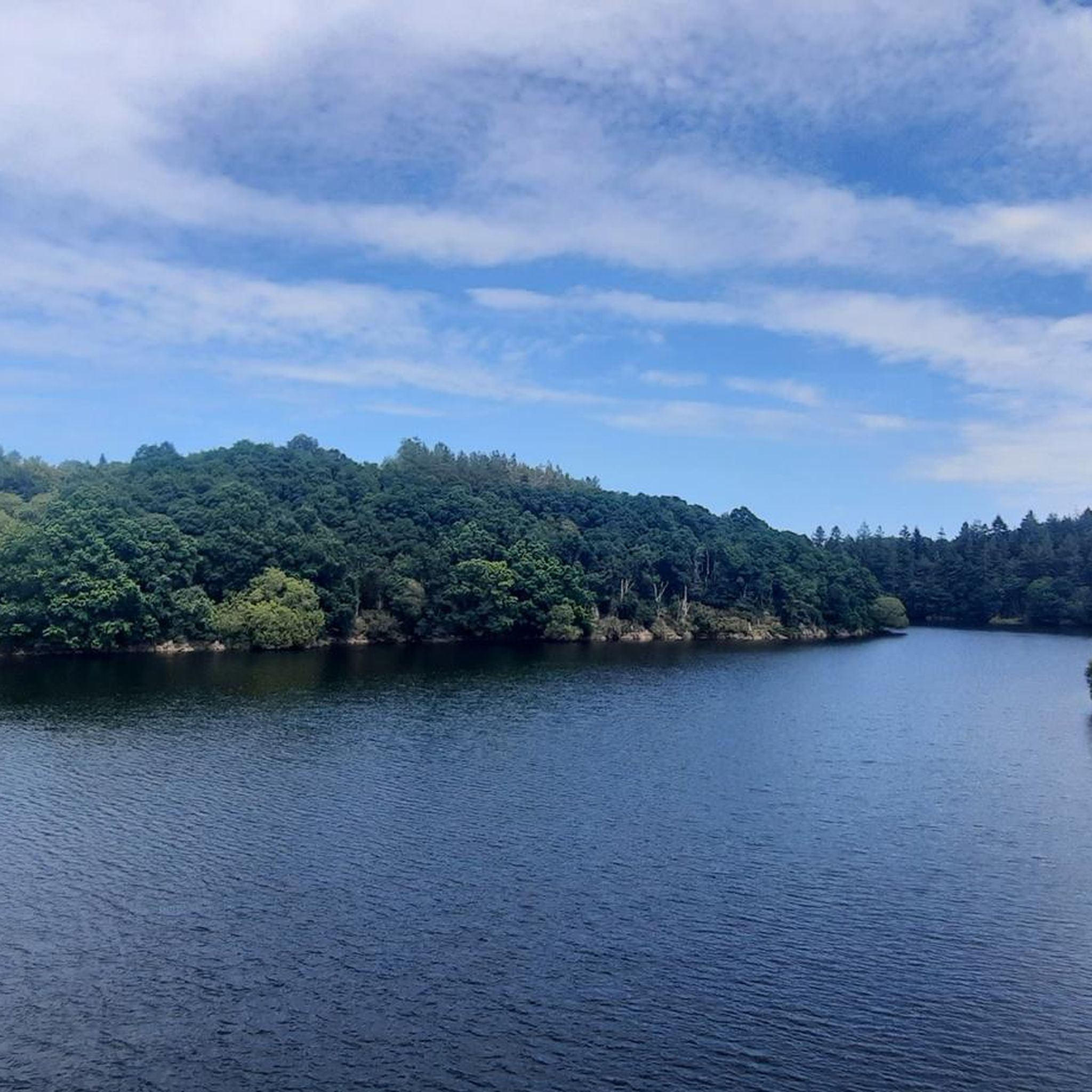
beautiful pond and peaceful place for a good flat walk, very well-appointed banks, large parking lot, and direct access to the village and the "petit écho de la mode" exhibition space.
0
0

On the left of the trail, do not miss the viewpoint of the viaduct. Stay on the same trail until you reach the road. Take the path that runs alongside it on the left. At the fork, continue straight on the grassy path. Go around the playgrounds on the left to reach the library. Take the street on your right. Photo credit: Emmanuel Berthier
0
0

This impressive Neolithic menhir has been knocked down and stands tall. It is 5.9 meters long.
2
0

It's a pretty town and there are nice walks to do around the pond
0
0

This path borders the Gouët river, which meanders along the mossy rocks, giving to see magical landscapes. If it has rained recently, the path will be muddy. It is therefore necessary to provide appropriate equipment: boots, walking sticks...
1
0
This 5.90 meter high granite menhir is classified as a historical monument. It was erected in the Neolithic.
0
0

Magnificent walk, forest, river, calm, pleasure for the eyes.
0
0
Frequently Asked Questions
How many hiking trails are there around Plouvara?
There are over 100 hiking trails available around Plouvara, offering a wide range of options for different preferences and skill levels. The komoot community has mapped 119 routes in total.
What types of terrain can I expect on hikes near Plouvara?
Hiking around Plouvara offers a mix of inland features, including forests and hills, with an altitude ranging from 114m to 213m, indicating undulating terrain. The broader Côtes-d'Armor region also provides access to dramatic coastal paths and serene lakeside routes.
Are there any easy, family-friendly hiking routes in the area?
Yes, Plouvara has many easy routes suitable for families. For example, the Saint-Barthélémy Dam – Pont Noir South Section loop from La Méaugon is an easy 4.4-mile (7.1 km) trail with gentle elevation changes, typically completed in under two hours.
Can I find circular hiking routes around Plouvara?
Absolutely. Many trails in the area are circular, allowing you to start and end at the same point. A popular option is the Pont Noir South Section loop from La Méaugon, a 4.6-mile (7.4 km) trail through the local countryside.
What do other hikers say about the trails in Plouvara?
The hiking routes in Plouvara are highly rated by the komoot community, with an average score of 4.4 stars from over 400 reviews. Hikers often praise the varied terrain, from tranquil woodlands to scenic lakeside paths, and the well-maintained trails.
Are there any longer or more challenging hikes available?
Yes, for those seeking a greater challenge, there are moderate and difficult routes. The Pont Noir South Section – Saint-Barthélémy Dam loop from La Méaugon is a moderate 10.8-mile (17.5 km) path with more significant elevation gain, offering a longer and more challenging experience.
What interesting landmarks or attractions can I see near the hiking trails?
While hiking, you can explore several interesting points. Consider visiting the impressive Parfond du Gouët Viaduct or the historic Saint Stephen's Cathedral in Saint-Brieuc. The region also features unique street art in Saint-Brieuc and the beautiful Basilique Notre-Dame-de-Délivrance.
Is Plouvara a good base for exploring the famous coastal paths of Brittany?
Yes, Plouvara's location makes it a convenient base for day trips to Brittany's renowned coastal paths, such as sections of the GR34 (Sentier des Douaniers). These trails offer stunning views of rocky points, wild coasts, and diverse marine landscapes.
Are dogs allowed on the hiking trails around Plouvara?
Generally, dogs are welcome on most public hiking trails in the region, especially if kept on a leash. However, it's always advisable to check local signage or specific park regulations for any restrictions, particularly in nature reserves or protected areas.
What is the best time of year to go hiking in Plouvara?
The varied landscapes around Plouvara and the broader Côtes-d'Armor region are enjoyable year-round. Spring and autumn offer pleasant temperatures and vibrant scenery, while summer is ideal for combining hikes with coastal visits. Even winter can be beautiful for crisp, clear walks.
Are there any hikes that feature lakes or ponds?
Yes, you can find trails that include water features. For instance, the Chatelaudren Pond loop from Châtelaudren - Plouagat is a moderate 5.5-mile (8.9 km) route that takes you around a scenic pond.
Where can I find parking for hiking trails near Plouvara?
While specific parking details vary by trailhead, most popular hiking areas and trailheads in the region, especially those near villages or attractions, offer designated parking spaces. It's often possible to find parking in nearby towns like La Méaugon or Châtelaudren - Plouagat, which serve as starting points for many routes.
Most popular attractions around Plouvara

Get inspired with the komoot mobile app


Explore more
Browse the best Hikes in other regions.
