The best walks and hikes around Saint-Quay-Portrieux
4.6
(171)
1,501
hikers
30
hikes
Hiking around Saint-Quay-Portrieux offers diverse coastal landscapes, characterized by dramatic cliffs, sandy beaches, and secluded coves. The region features the renowned GR34 coastal path, providing panoramic views of the Bay of Saint-Brieuc and offshore islands. Inland routes explore traditional Breton villages and natural parks, often following small rivers or old railway lines. This varied terrain provides a range of hiking experiences.
Best hiking trails around Saint-Quay-Portrieux
- The most popular hiking route is View of Saint-Quay-Portrieux – Binic loop from Saint-Quay-Portrieux…
Last updated: July 9, 2026
4.7
(29)
237
hikers
15.6km
04:24
320m
320m
Moderate hike. Good fitness required. Easily-accessible paths. Suitable for all skill levels.
4.6
(31)
145
hikers
Moderate hike. Good fitness required. Easily-accessible paths. Suitable for all skill levels.

Sign up for free
4.5
(13)
147
hikers
Moderate hike. Good fitness required. Easily-accessible paths. Suitable for all skill levels.
4.5
(6)
126
hikers
Easy hike. Great for any fitness level. Easily-accessible paths. Suitable for all skill levels.
4.7
(12)
140
hikers
Easy hike. Great for any fitness level. Easily-accessible paths. Suitable for all skill levels.
Get access to more routes and recommendations from other explorers.
Sign up for free
Already have an account?
Our route recommendations are based on thousands of hikes, rides, and runs completed by other people on komoot.
Start today with a free account
Your next adventure awaits.
Login or Signup
Popular around Saint-Quay-Portrieux
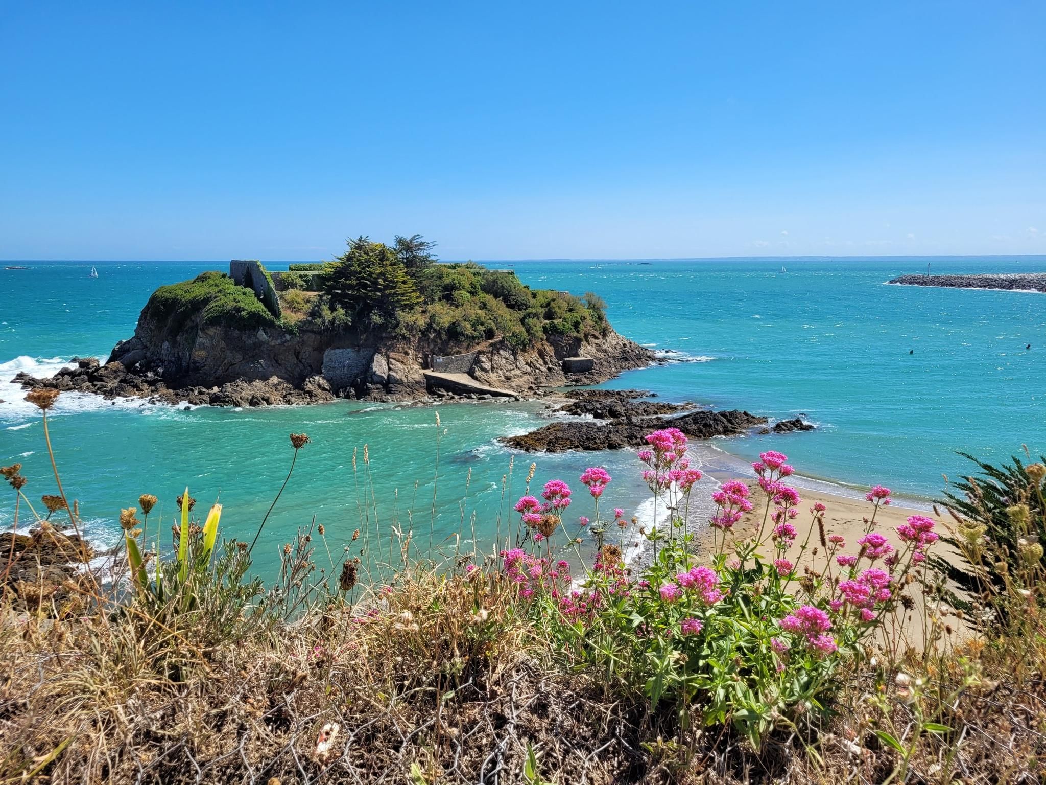
The Customs Officers' Path – GR 34 between Paimpol and Erquy
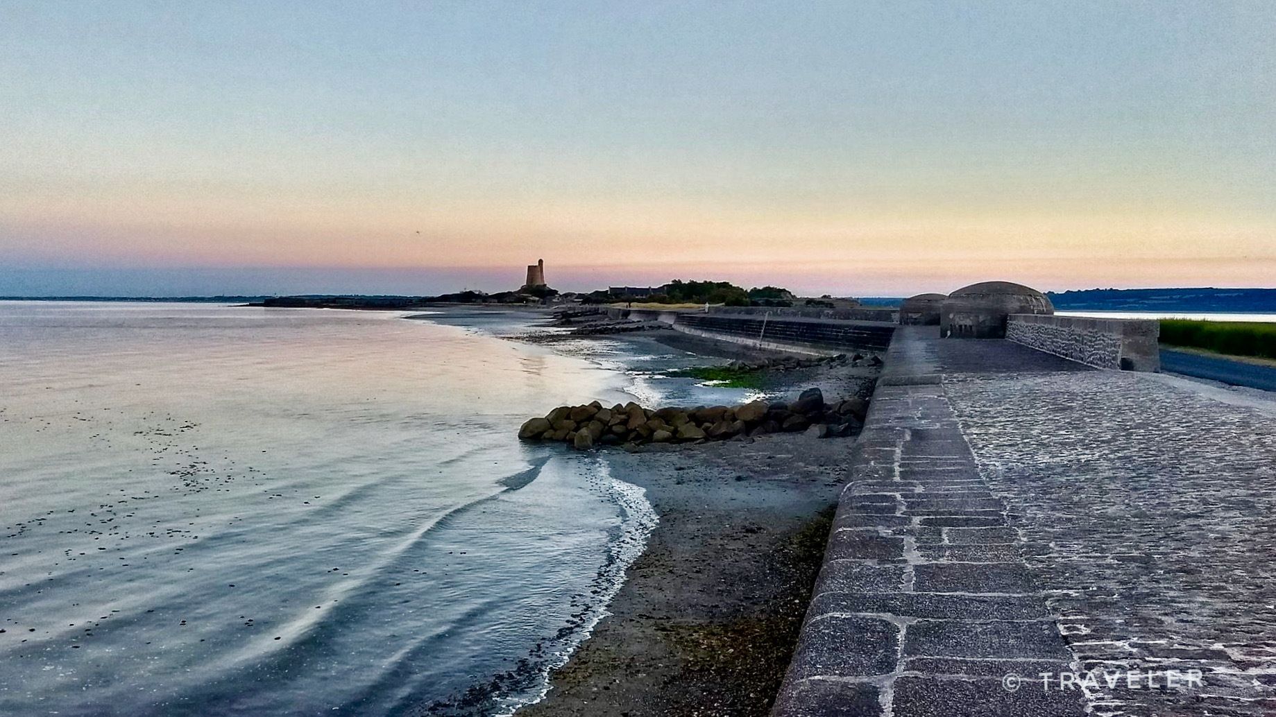
From pink granite to the Opal Coast — cycle France’s la Vélomaritime
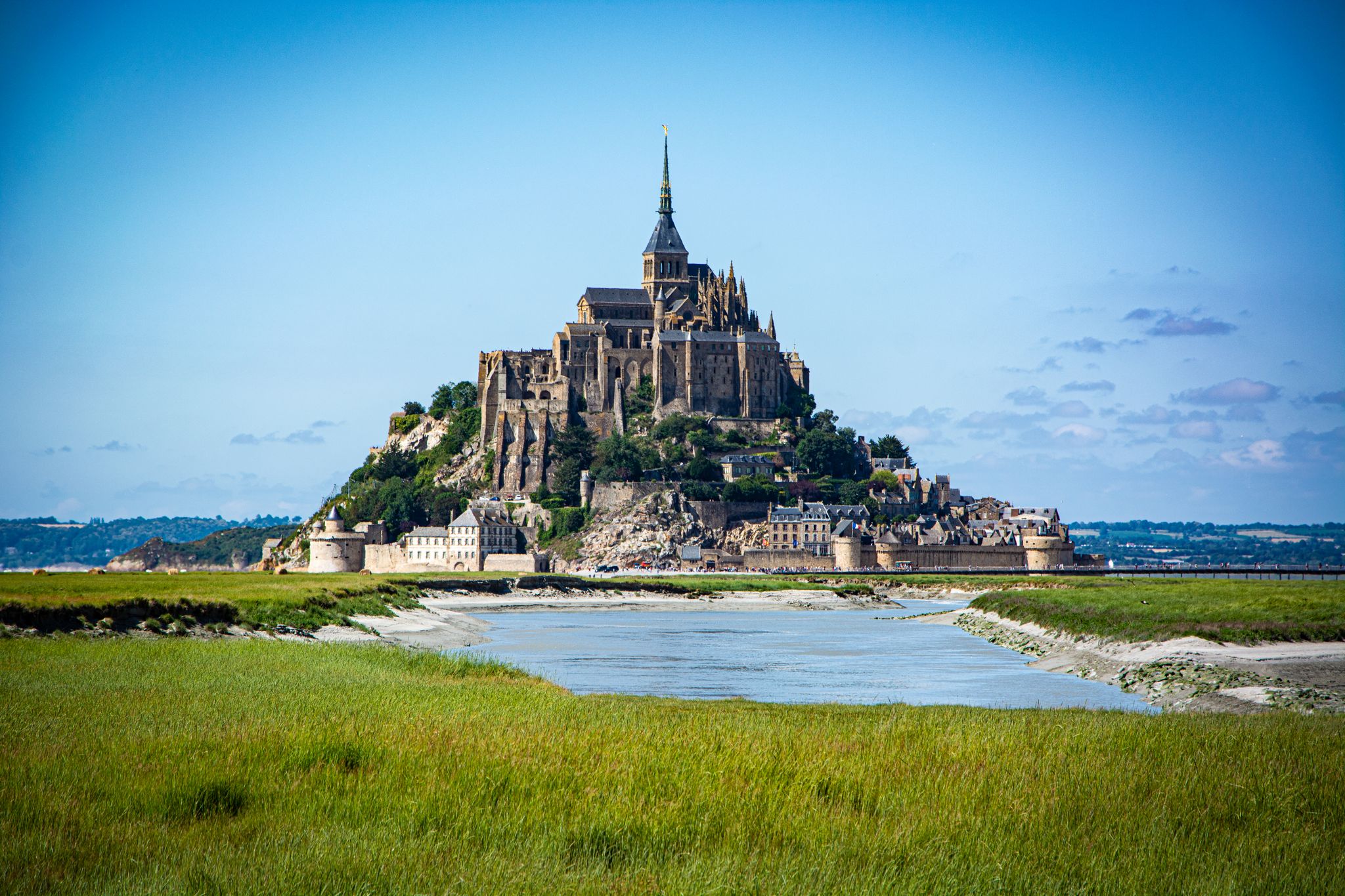
Coastlines of the English Channel — Tour de Manche
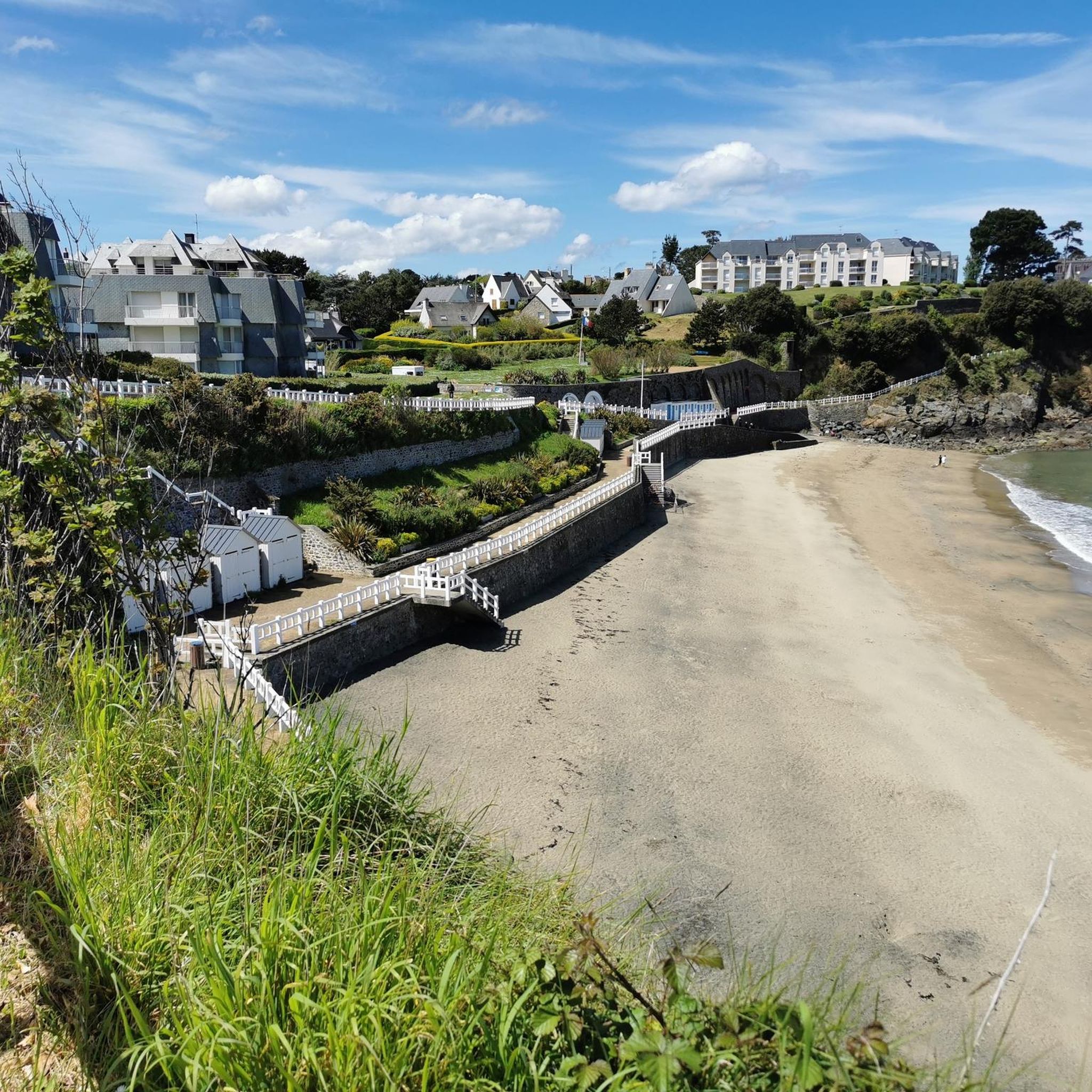
Running Trails around Saint-Quay-Portrieux
Cycling around Saint-Quay-Portrieux
Road Cycling Routes around Saint-Quay-Portrieux
MTB Trails around Saint-Quay-Portrieux

Gravel biking around Saint-Quay-Portrieux
Other adventures around Saint-Quay-Portrieux


Tips from the Community

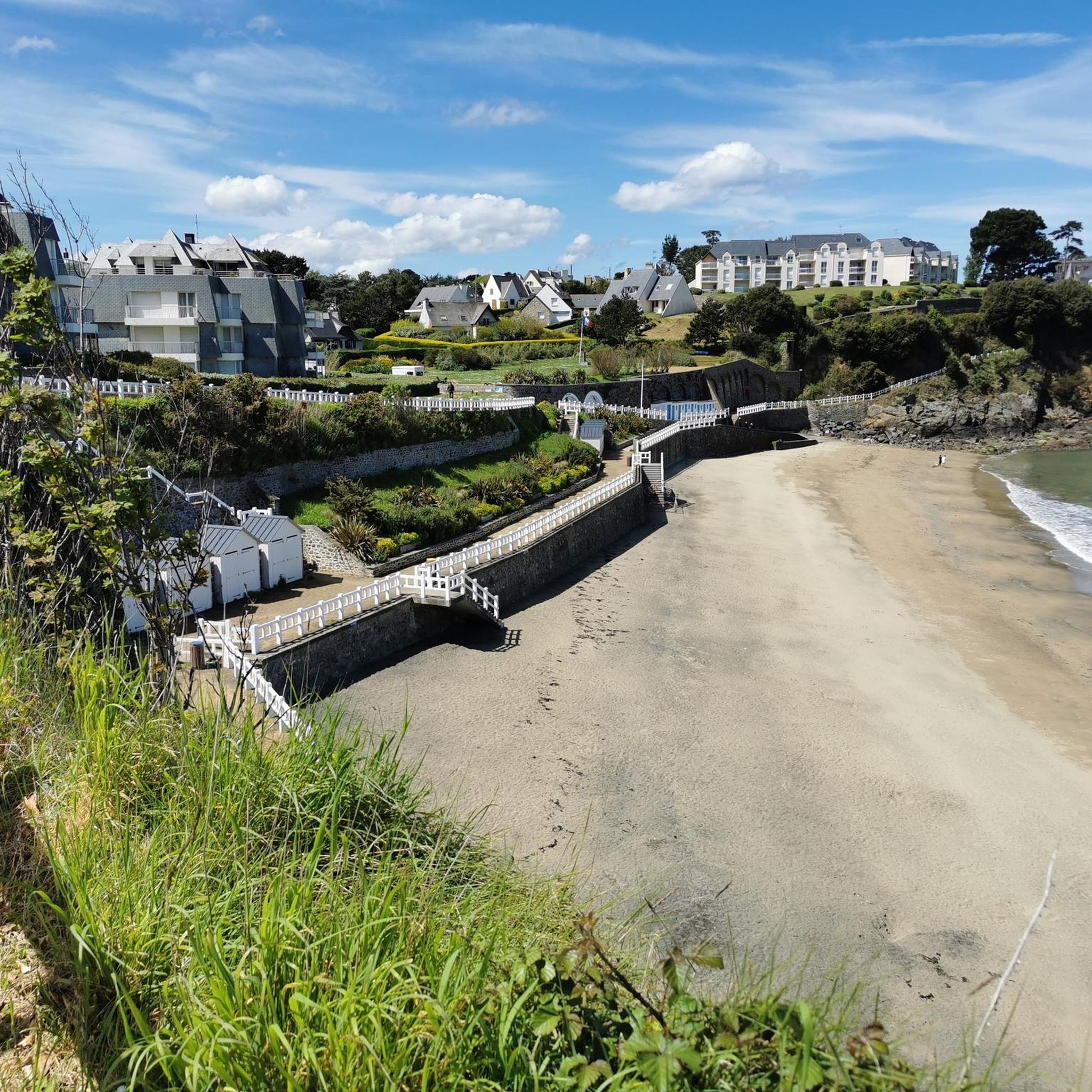
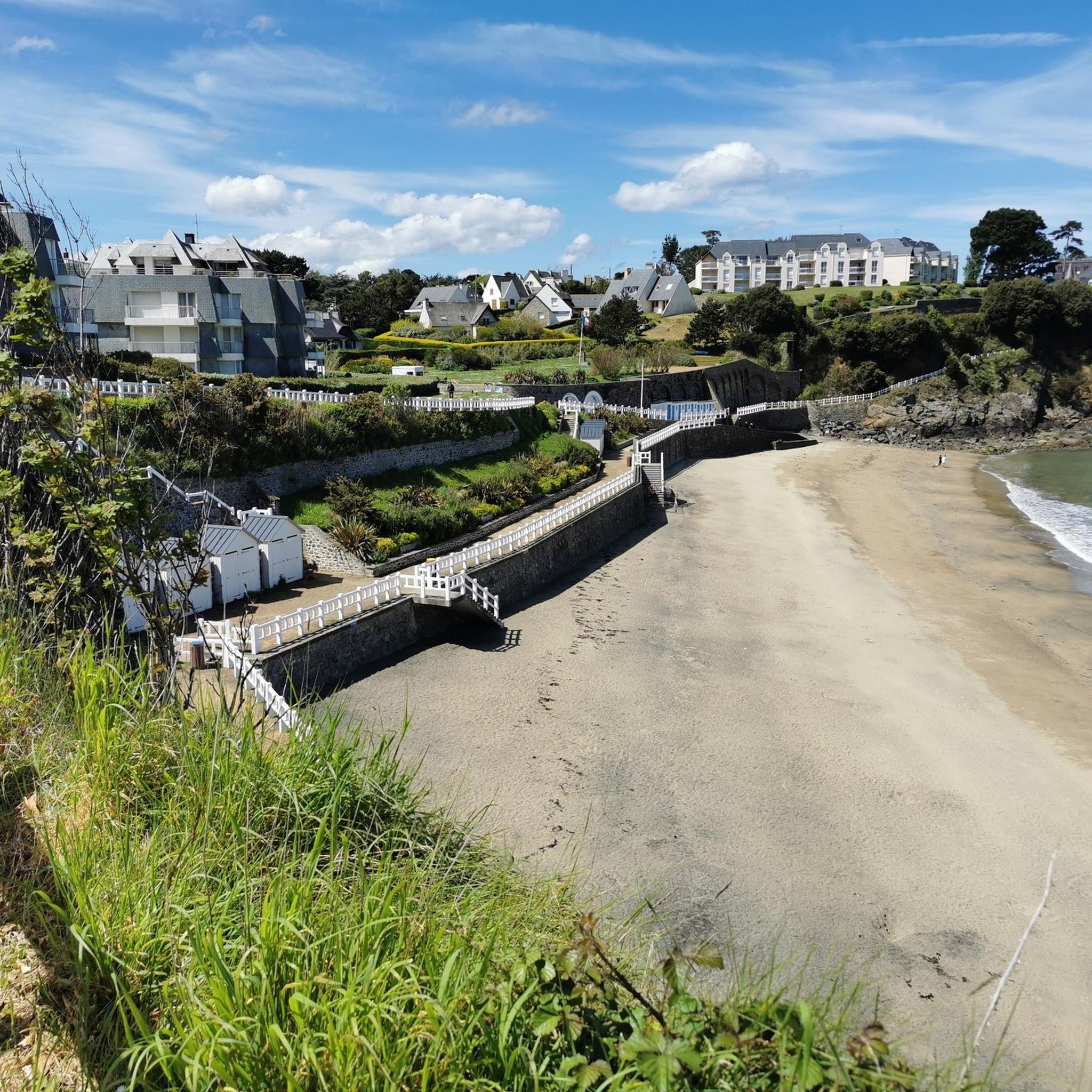
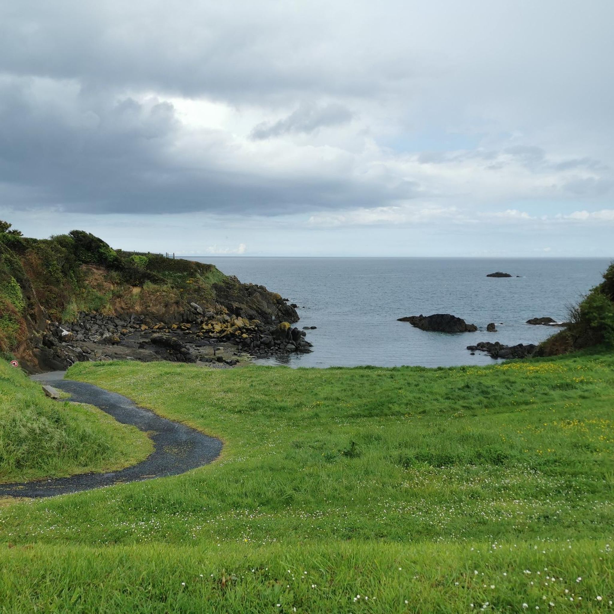
Beautiful little bay. Perfect for a picnic with a view.
0
0

Villa listed as a historic monument, decorated by the mosaicist Odorico.
0
0

Beautiful hike - uneven in some sections but easy to access - well-maintained paths with a few diversions (due to risk of landslides)
0
0

The view of the coast from the tip of Bec de Vir is breathtaking! The access path runs alongside cultivated plots before overlooking the birth of the high cliffs of Plouha and the large beach of Palus to the north. Further south, the rocks of the St-Quay islands and the rocky plateau of Rohein are easily visible at low tide. You can also see the semaphore of Saint-Quay-Portrieux. This sentinel has been watching over maritime traffic in the bay since 1860. Photo credit: Emmanuel Berthier
0
0
"Gored" comes from a Breton word meaning fishery with a dam. The right to goretterie was granted to the lords of Goelo by the monks of the abbey of Beauport in port Goret (a method of catching fish stuck at low tide). The remains of the dam are still visible. Photo credit: Emmanuel Berthier
0
0
A raised dike, dating from the end of the 19th century, was built between the isolated rock of Châtelet and the rocky coast, in order to protect the cove from the winds and the westerly swell. A local road served the port in 1882 for the transport of marine amendments. The port housed about fifteen small sand and fishing boats at the end of the 19th century and only 5 canoes. Photo credit: Emmanuel Berthier
0
0

A section of the Customs trail that you absolutely must explore
0
1

The Chapelle Saint-Marc in Saint-Marc, Brittany, is set slightly back from the bay of the same name. You will appreciate this picturesque and historic chapel with the lush Breton countryside as a backdrop. The 17th-century chapel, with its simple stone façade and picturesque bell tower, stands gracefully amidst rolling hills and green fields with views of the sea.
1
0
Frequently Asked Questions
How many hiking trails are available in Saint-Quay-Portrieux?
Saint-Quay-Portrieux offers over 30 hiking trails. These routes cater to various fitness levels, with 18 easy and 14 moderate options, ensuring there's a suitable path for almost everyone.
What types of landscapes will I encounter on the trails around Saint-Quay-Portrieux?
You'll experience a rich diversity of landscapes, from dramatic coastal cliffs and sandy beaches to secluded coves and dunes. Many trails offer panoramic views of the Bay of Saint-Brieuc and offshore islands. Some routes also venture slightly inland, revealing traditional Breton villages and natural parks.
Are there any easy hiking trails suitable for families or casual walkers?
Yes, Saint-Quay-Portrieux has 18 easy trails perfect for families and casual walkers. A great option is the Île de la Comtesse – Orientation table loop from Saint-Quay-Portrieux, which is 4.0 miles (6.5 km) and offers coastal paths and access to Île de la Comtesse at low tide.
Can I hike along the famous GR34 coastal path in Saint-Quay-Portrieux?
Absolutely. The renowned GR34, also known as the Customs Officers' Path, passes directly through Saint-Quay-Portrieux. This long-distance trail provides stunning views of the Brittany coast, featuring dramatic cliffs, sandy beaches, and picturesque coves.
What are some notable landmarks or points of interest to see while hiking?
Hikers can explore several interesting landmarks. The Pointe de Plouha offers spectacular views. You might also encounter historical sites like Chapelle Saint-Marc, or explore the unique Bonaparte Beach. The Île de la Comtesse, accessible at low tide, features gardens and manor house remains for a unique exploration.
Are there any circular hiking routes available?
Yes, many routes in the area are circular. For example, the View from Pointe du Bec de Vir – View of the bay loop from Saint-Quay-Portrieux is a moderate 7.6 miles (12.2 km) path that offers panoramic views across the bay.
What is the best time of year to go hiking in Saint-Quay-Portrieux?
The best time for hiking in Saint-Quay-Portrieux is generally from spring to autumn (April to October) when the weather is milder and more predictable. The coastal paths offer beautiful scenery year-round, but summer provides the warmest temperatures for enjoying the beaches and coves.
Is Saint-Quay-Portrieux a dog-friendly hiking destination?
Many trails in Saint-Quay-Portrieux are dog-friendly, especially the coastal paths and natural areas. However, it's always recommended to keep dogs on a leash, particularly in protected areas or during nesting seasons, and to check local signage for any specific restrictions.
What do other hikers enjoy most about hiking in Saint-Quay-Portrieux?
The area is highly rated by the komoot community, with an average score of 4.6 stars from over 160 reviews. Reviewers often praise the dramatic coastal scenery, the well-maintained trails, and the variety of options for different ability levels, from easy strolls to more challenging treks.
Are there options for public transport to access hiking trails?
Saint-Quay-Portrieux is generally well-connected by local bus services, which can help you reach various starting points for hikes. For specific route access, it's advisable to check local transport schedules, especially if you plan to hike sections of the GR34 or other linear routes.
Where can I find parking for hiking trails in Saint-Quay-Portrieux?
Parking is generally available at key access points and popular trailheads throughout Saint-Quay-Portrieux and its surroundings. Many coastal areas and town centers offer designated parking facilities, though these can fill up quickly during peak season. It's often best to arrive early, especially for popular routes.
Most popular routes around Saint-Quay-Portrieux
Most popular attractions around Saint-Quay-Portrieux

Get inspired with the komoot mobile app


Explore more
Browse the best Hikes in other regions.
