The best road cycling routes around Grandrif
4.8
(37)
1,587
riders
114
rides
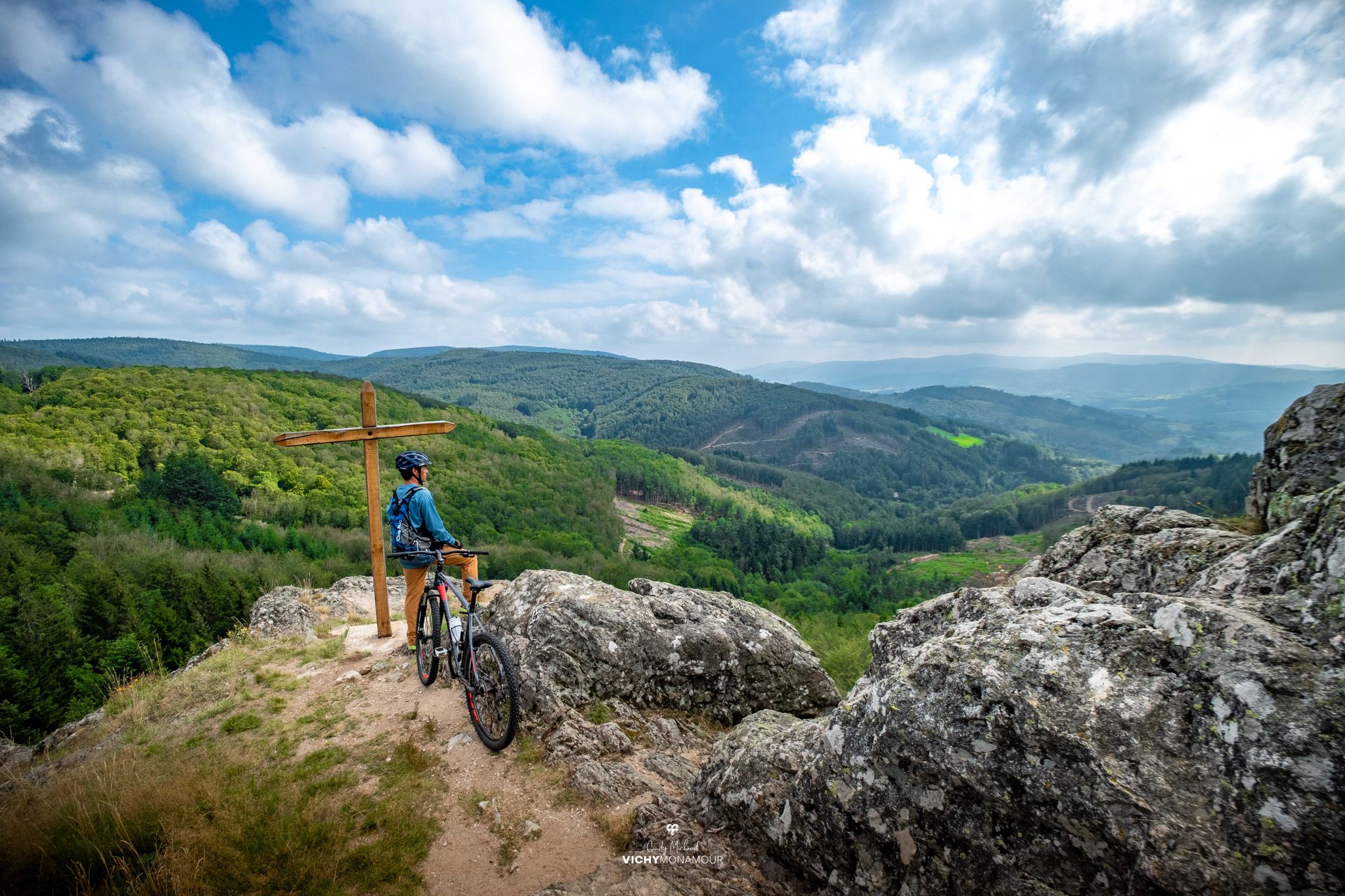
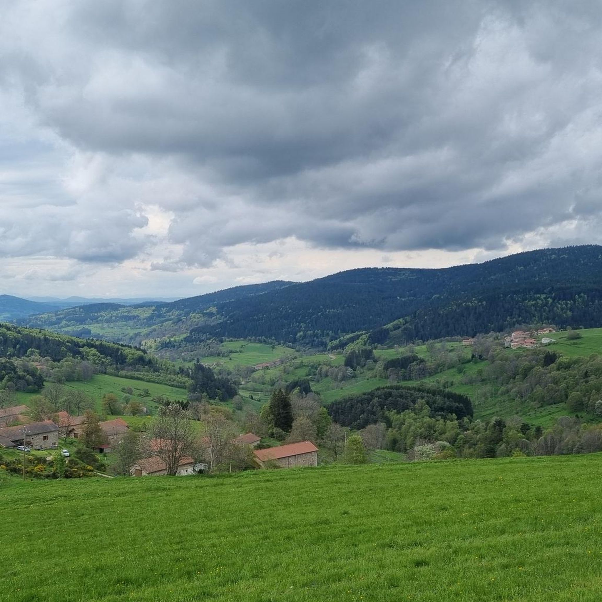
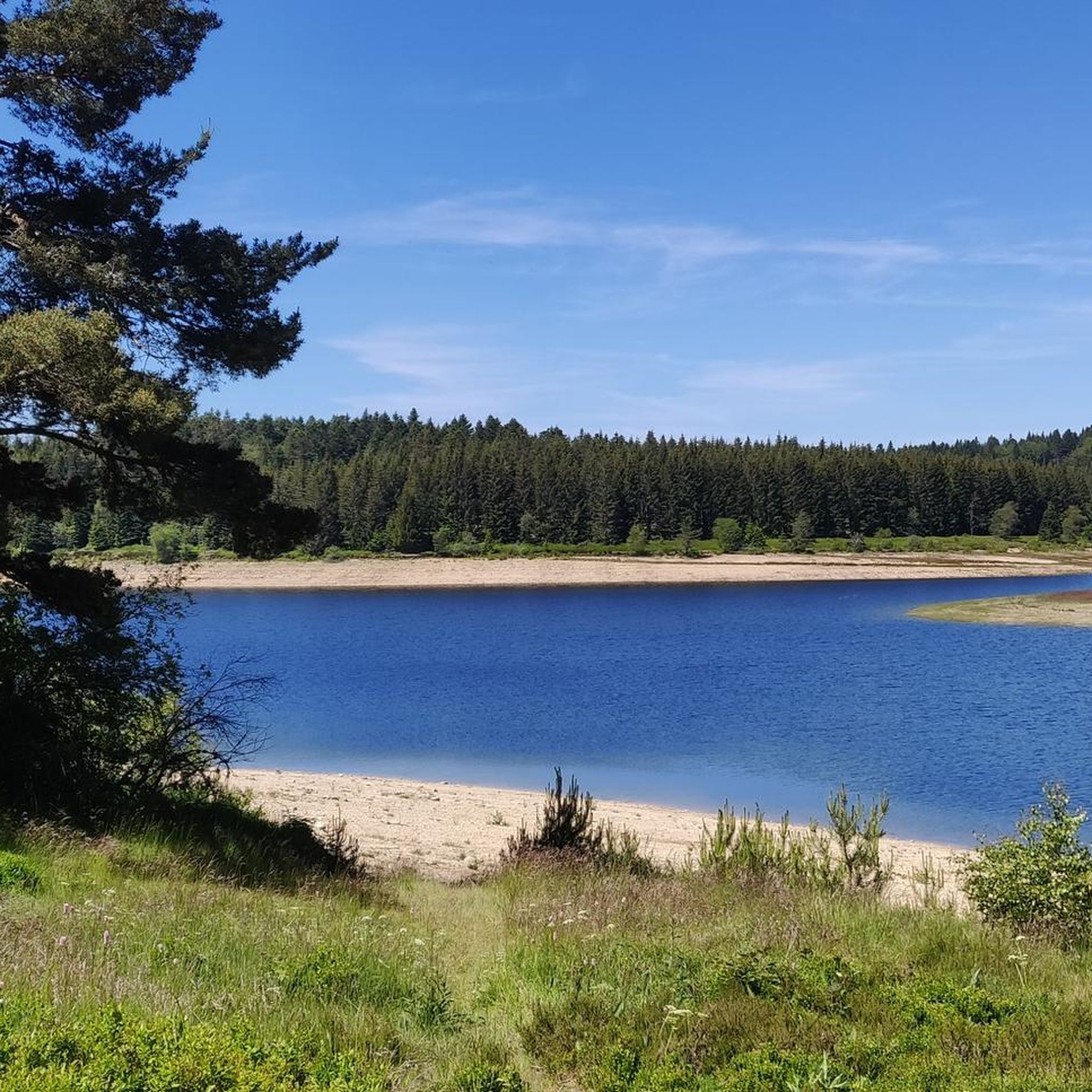
Road cycling routes around Grandrif are situated within the Livradois-Forez Regional Natural Park, offering a mid-mountain environment with altitudes ranging from 679 to 1424 meters. The terrain features varied landscapes, including extensive forests, higher altitude moors, and wild heathlands. Key features for road cyclists include significant passes like Col des Pradeaux and Col des Supeyres, providing challenging climbs and descents. The region's well-maintained network of paved communal and departmental roads supports diverse cycling experiences.
Best road cycling routes around Grandrif
…Last updated: July 15, 2026
4.7
(3)
61
riders
25.7km
01:33
650m
650m
Moderate road ride. Good fitness required. Some segments of this route may be unpaved and difficult to ride.
3.0
(1)
37
riders
49.0km
02:54
1,150m
1,150m
Hard road ride. Very good fitness required. Mostly well-paved surfaces and easy to ride.

Sign up for free
5.0
(1)
41
riders
Moderate road ride. Good fitness required. Some segments of this route may be unpaved and difficult to ride.
5.0
(3)
12
riders
Moderate road ride. Good fitness required. Some segments of this route may be unpaved and difficult to ride.
4.3
(3)
14
riders
47.8km
02:15
580m
580m
Moderate road ride. Good fitness required. Mostly well-paved surfaces and easy to ride.
Get access to more routes and recommendations from other explorers.
Sign up for free
Already have an account?
Our route recommendations are based on thousands of hikes, rides, and runs completed by other people on komoot.
Start today with a free account
Your next adventure awaits.
Login or Signup

Other adventures around Grandrif

Tips from the Community

Reserved for users of ravine paths with stones.
0
0

The view is superb, the surrounding paths are great!
0
0

Church in the middle of Usson-en-Forez
0
0

Old medieval castle now in ruins. With its enclosure surrounding a stone keep located at the top of a mound, it is an imposing vestige of a feudal past.
0
0

It was wonderful on my way #berndscamino https://huettemann.eu/de/2024/02/bergauf-bergab-an-die-loire-berndscamino/
1
0

This museum is an authentic school from the 1900s. You can visit the classrooms, write with a pen, see period toys...
0
0

The Col des Pradeaux which I have climbed several times since my installation in Ambert. A must with the Col des Supeyres.
0
0
Frequently Asked Questions
How many road cycling routes are available around Grandrif?
There are over 120 road cycling routes around Grandrif, offering a wide range of experiences for different skill levels. You'll find a good mix of moderate and difficult trails to explore.
What kind of terrain can I expect when road cycling in Grandrif?
Grandrif is situated in a mid-mountain environment within the Livradois-Forez Regional Natural Park, with altitudes ranging from 679 to 1424 meters. You can expect varied landscapes, including lush forests, higher altitude moors, and wild heathlands. Key features include significant passes like Col des Pradeaux and Col des Supeyres, providing challenging climbs and rewarding descents.
Are there challenging road cycling routes for experienced riders?
Yes, Grandrif offers numerous challenging routes. Over 65 routes are classified as difficult, featuring significant elevation gains and sustained climbs. For example, the Col de Baracuchet (1267 m) – Col des Limites loop from Saint-Anthème covers nearly 48 km with over 1100 meters of ascent, while the Supeyres Pass – Col des Pradeaux loop from Saint-Anthème is a demanding 76 km ride with over 1600 meters of climbing.
What are some scenic highlights or landmarks I can see along the road cycling routes?
The region is rich in natural beauty and interesting landmarks. You can cycle past significant mountain passes like Col des Pradeaux and Col des Supeyres, which offer panoramic views. The area also features ancient forests, peat bogs, and gorges. From higher elevations, you might even catch glimpses of the Auvergne volcanoes and the Alps.
Are there any circular road cycling routes around Grandrif?
Yes, many of the road cycling routes around Grandrif are designed as loops, allowing you to start and finish in the same location. Examples include the popular Col des Pradeaux – 1900 School Museum loop from Ambert and the scenic Saint-Jean Church, Ambert – Ambert loop from Flaittes.
What is the best time of year for road cycling in Grandrif?
The region is suitable for outdoor activities year-round. For road cycling, late spring, summer, and early autumn generally offer the most pleasant weather conditions. Even in winter, roads are reportedly well-maintained, but higher passes might be more challenging due to snow or ice.
Are there family-friendly road cycling options in Grandrif?
While many routes feature significant climbs, there are options for families or those seeking less strenuous rides. Look for routes with lower elevation gains or those that stick to flatter sections of the valleys. The The Greenways of Ambert loop from Marsac-en-Livradois, for instance, is a moderate route with a more gentle elevation profile.
Where can I find parking for road cycling routes in Grandrif?
Grandrif and surrounding towns like Ambert and Saint-Anthème, which serve as common starting points for routes, typically offer public parking facilities. It's advisable to check specific starting points for designated parking areas, especially near popular trailheads or village centers.
What do other road cyclists enjoy most about road cycling in Grandrif?
The area is highly rated by the komoot community, with an average score of 4.8 stars from over 40 reviews. Cyclists often praise the varied terrain, the challenging climbs of the cols, and the picturesque views of the Auvergne volcanoes and the Alps from higher elevations. The well-maintained roads and the immersive natural environment of the Livradois-Forez Regional Natural Park are also frequently highlighted.
Are there places to stop for food or drinks along the routes?
Yes, Grandrif and the surrounding villages offer local hospitality, including gîtes, B&Bs, and restaurants. While cycling, you might find opportunities to stop in towns like Ambert or Saint-Anthème for refreshments. Some routes might also pass near mountain huts like Jasserie du Coq Noir or Refuge du Garnier, which can offer a welcome break.
Is public transport available to reach the cycling routes in Grandrif?
While Grandrif is a rural area, public transport options might be limited. It's best to check regional bus services or train connections to larger towns like Ambert, which may offer better access. From these towns, you can often start your cycling routes directly or arrange local transport to Grandrif.
Most popular attractions around Grandrif

Get inspired with the komoot mobile app


Explore more
Browse the best Road cycling routes in other regions.
