The best road cycling routes around Saint-Gervais-Sous-Meymont
4.4
(48)
1,280
riders
100
rides
Road cycling around Saint-Gervais-Sous-Meymont offers diverse terrain within the Livradois-Forez Regional Natural Park. The region features well-paved surfaces, significant elevation gains, and a mix of moderate to challenging routes. Cyclists can explore areas characterized by hills, river valleys, and scenic natural features like Lake Aubusson, providing a varied backdrop for rides.
Best road cycling routes around Saint-Gervais-Sous-Meymont
- The most popular road cycling route is Ambert – Saint-Jean Church, Ambert loop from Marat, a 29.3 miles (47.1 km) trail that…
Last updated: July 17, 2026
5.0
(3)
45
riders
42.0km
02:28
1,060m
1,060m
Hard road ride. Very good fitness required. Mostly well-paved surfaces and easy to ride.
14
riders
29.7km
01:38
630m
630m
Moderate road ride. Good fitness required. Mostly well-paved surfaces and easy to ride.

Sign up for free
3.0
(1)
7
riders
32.8km
01:43
600m
600m
Moderate road ride. Good fitness required. Mostly well-paved surfaces and easy to ride.
5.0
(1)
7
riders
63.6km
03:27
1,260m
1,260m
Hard road ride. Very good fitness required. Mostly well-paved surfaces and easy to ride.
8
riders
31.5km
01:37
570m
570m
Moderate road ride. Good fitness required. Mostly well-paved surfaces and easy to ride.
Get access to more routes and recommendations from other explorers.
Sign up for free
Already have an account?
Our route recommendations are based on thousands of hikes, rides, and runs completed by other people on komoot.
Start today with a free account
Your next adventure awaits.
Login or Signup


Tips from the Community

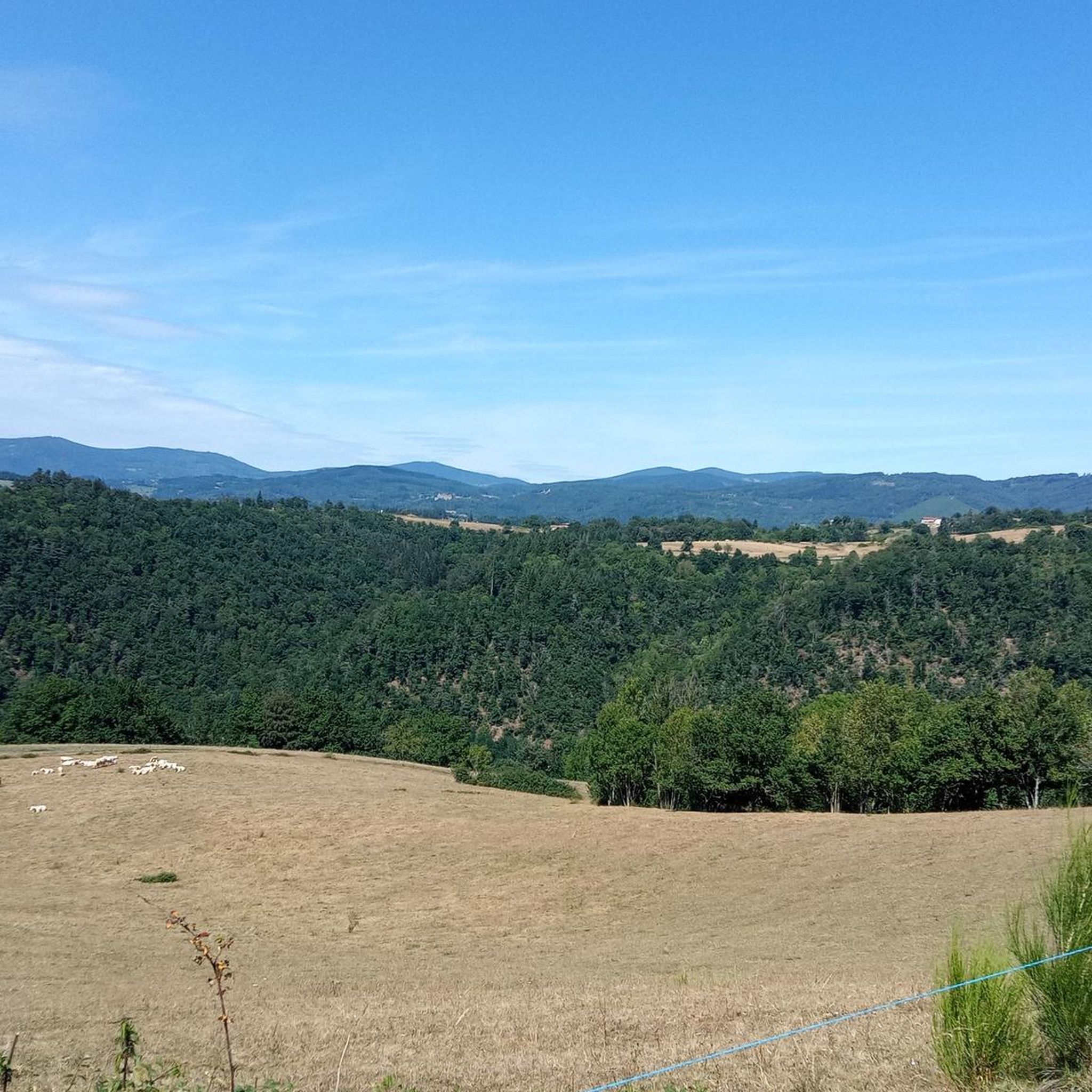
A breathtaking view of the Forez Mountains. A site that's well worth the effort...
0
0


A breathtaking view that is worth the effort and wild landscapes! What a natural spectacle, wow! Undeniably one of the places not to be missed in Auvergne.
1
0
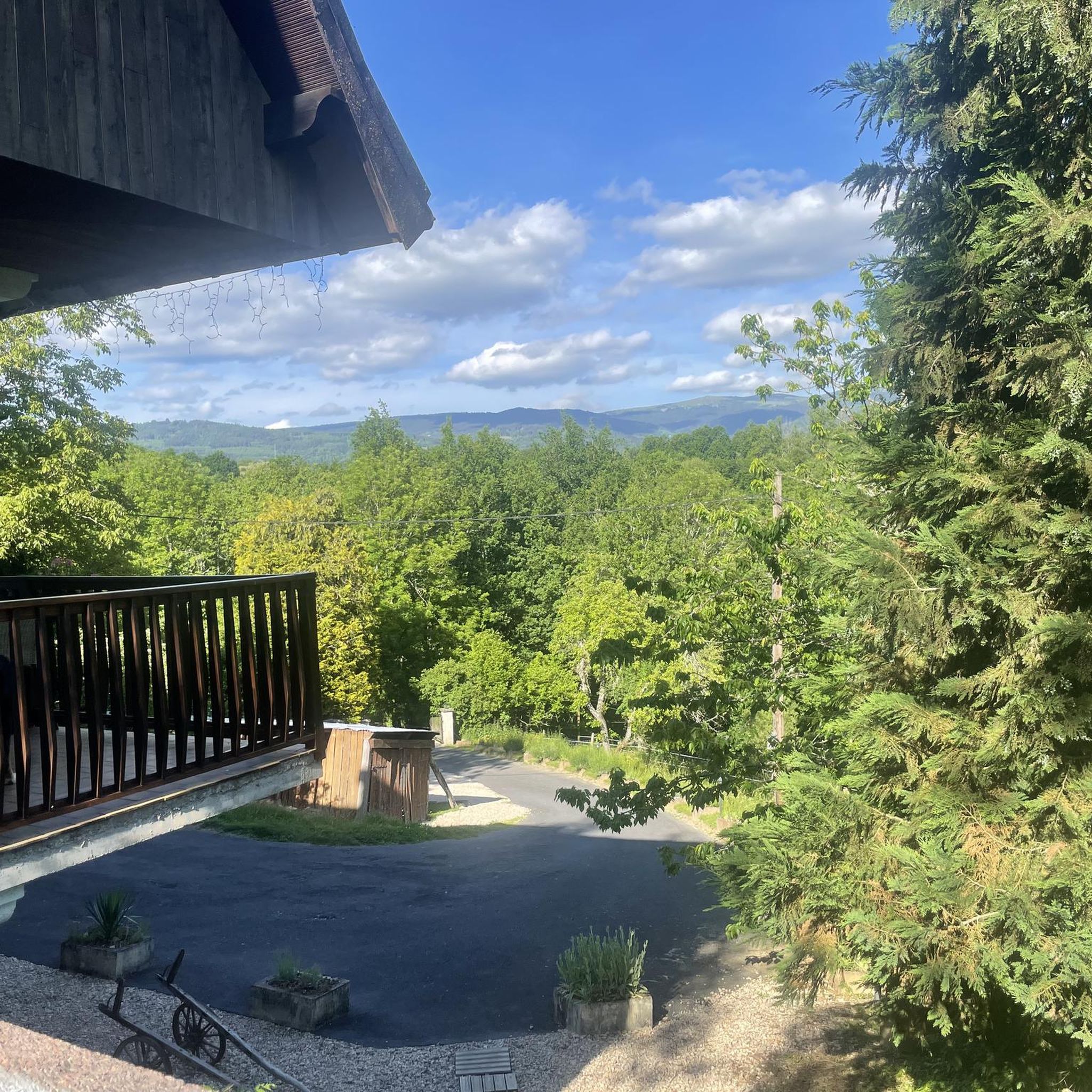
Charming mountain village with a lovely view of the surrounding hills.
0
0
Picturesque medieval village with splendid landscapes!
1
0


A great little pass with a nice view to enjoy from Vollore. Follow it up with the Col des Sagnes because the descent between the two is fantastic!
1
0

Gradual ascent from Le Poux via Vollore-Ville, 340m of positive elevation over approximately 11km.
0
0
Frequently Asked Questions
What kind of terrain can I expect when road cycling around Saint-Gervais-Sous-Meymont?
The region offers diverse terrain within the Livradois-Forez Regional Natural Park, characterized by rolling hills, river valleys, and significant elevation gains. You'll find well-paved surfaces suitable for road cycling, with routes ranging from moderate to challenging mountain passes.
How many road cycling routes are available in Saint-Gervais-Sous-Meymont?
There are over 90 road cycling routes around Saint-Gervais-Sous-Meymont, catering to various fitness levels. This includes a mix of easy, moderate, and difficult options to explore the picturesque landscapes.
Are there any easy road cycling routes for beginners?
While many routes feature significant climbs, there is at least one easy road cycling route available. The majority of routes are moderate or difficult, so beginners should carefully check the route profiles before setting out.
What are some challenging climbs or passes for experienced road cyclists?
Experienced cyclists can tackle demanding ascents like the Béal Pass loop from Marat, which features over 930 meters of elevation gain. Another challenging option is the Col de Baracuchet (1267 m) – Col des Supeyres loop from La Chapelle-Agnon, which includes nearly 1800 meters of climbing over a longer distance.
What natural features or landmarks can I see along the road cycling routes?
The routes often pass through the scenic Livradois-Forez Regional Natural Park. You can encounter beautiful natural features such as Lake Aubusson, surrounded by forests and hills. Additionally, you might pass viewpoints like Fourches Pass - 970 m or Toutée Pass (996 m).
Are there any cultural or historical points of interest accessible by road bike?
Yes, you can cycle past charming villages and historical sites. For instance, the Mauzun Castle loop from Piboulet offers views of the local landscape, likely including the castle itself. The village of Le Brugeron, with its beautiful church, is also within the Livradois-Forez Regional Natural Park.
What do other road cyclists enjoy most about cycling in Saint-Gervais-Sous-Meymont?
The area is highly rated by the komoot community, with an average score of 4.5 stars from over 40 reviews. Cyclists often praise the varied terrain, the challenging climbs, and the scenic beauty of the Livradois-Forez Regional Natural Park.
Are there any moderate-difficulty loop routes for road cycling?
Yes, there are several moderate loop routes. A popular choice is the Ambert – Saint-Jean Church, Ambert loop from Marat, which covers about 47 km with over 650 meters of elevation. Another option is the Mauzun Castle loop from Piboulet, a 53 km route with over 830 meters of climbing.
What is the best time of year for road cycling in Saint-Gervais-Sous-Meymont?
The region is best enjoyed for road cycling during the warmer months, typically from spring through autumn. This period offers more favorable weather conditions for tackling the significant elevation gains and enjoying the natural beauty of the Livradois-Forez Regional Natural Park.
Are there any routes that pass by a château?
Yes, the Château de Domaize loop from Saint-Gervais-sous-Meymont is a difficult route that will take you past the Château de Domaize, offering a blend of challenging cycling and historical sightseeing.
What kind of elevation gains can I expect on road cycling routes here?
Road cycling in Saint-Gervais-Sous-Meymont is known for significant elevation gains. Even moderate routes can feature over 650 meters of climbing, while difficult routes like the Col de Baracuchet – Col des Supeyres loop can involve nearly 1800 meters of ascent.
Most popular routes around Saint-Gervais-Sous-Meymont
Most popular attractions around Saint-Gervais-Sous-Meymont

Get inspired with the komoot mobile app


Explore more
Browse the best Road cycling routes in other regions.
