The best road cycling routes around Cunlhat
4.6
(42)
1,262
riders
101
rides
Road cycling around Cunlhat, located in the Puy-de-Dôme department within the Livradois-Forez Regional Natural Park, offers diverse terrain for cyclists. The region is characterized by rolling hills, deep valleys, and significant elevation changes, providing varied challenges. Cyclists can expect routes that traverse through ancient volcanic landscapes, dense forests, and along tranquil rivers. This natural setting ensures a blend of scenic beauty and engaging road cycling experiences.
Best road cycling routes around Cunlhat
- The most popular road cycling route is View…
Last updated: July 2, 2026
4.0
(2)
22
riders
41.9km
02:20
840m
840m
Moderate road ride. Good fitness required. Some segments of this route may be unpaved and difficult to ride.
10
riders
26.7km
01:27
500m
500m
Moderate road ride. Good fitness required. Mostly well-paved surfaces and easy to ride.

Sign up for free
8
riders
38.8km
01:57
620m
620m
Moderate road ride. Good fitness required. Mostly well-paved surfaces and easy to ride.
8
riders
31.5km
01:37
570m
570m
Moderate road ride. Good fitness required. Mostly well-paved surfaces and easy to ride.
12
riders
28.1km
01:17
350m
350m
Moderate road ride. Good fitness required. Mostly well-paved surfaces and easy to ride.
Get access to more routes and recommendations from other explorers.
Sign up for free
Already have an account?
Our route recommendations are based on thousands of hikes, rides, and runs completed by other people on komoot.
Start today with a free account
Your next adventure awaits.
Login or Signup
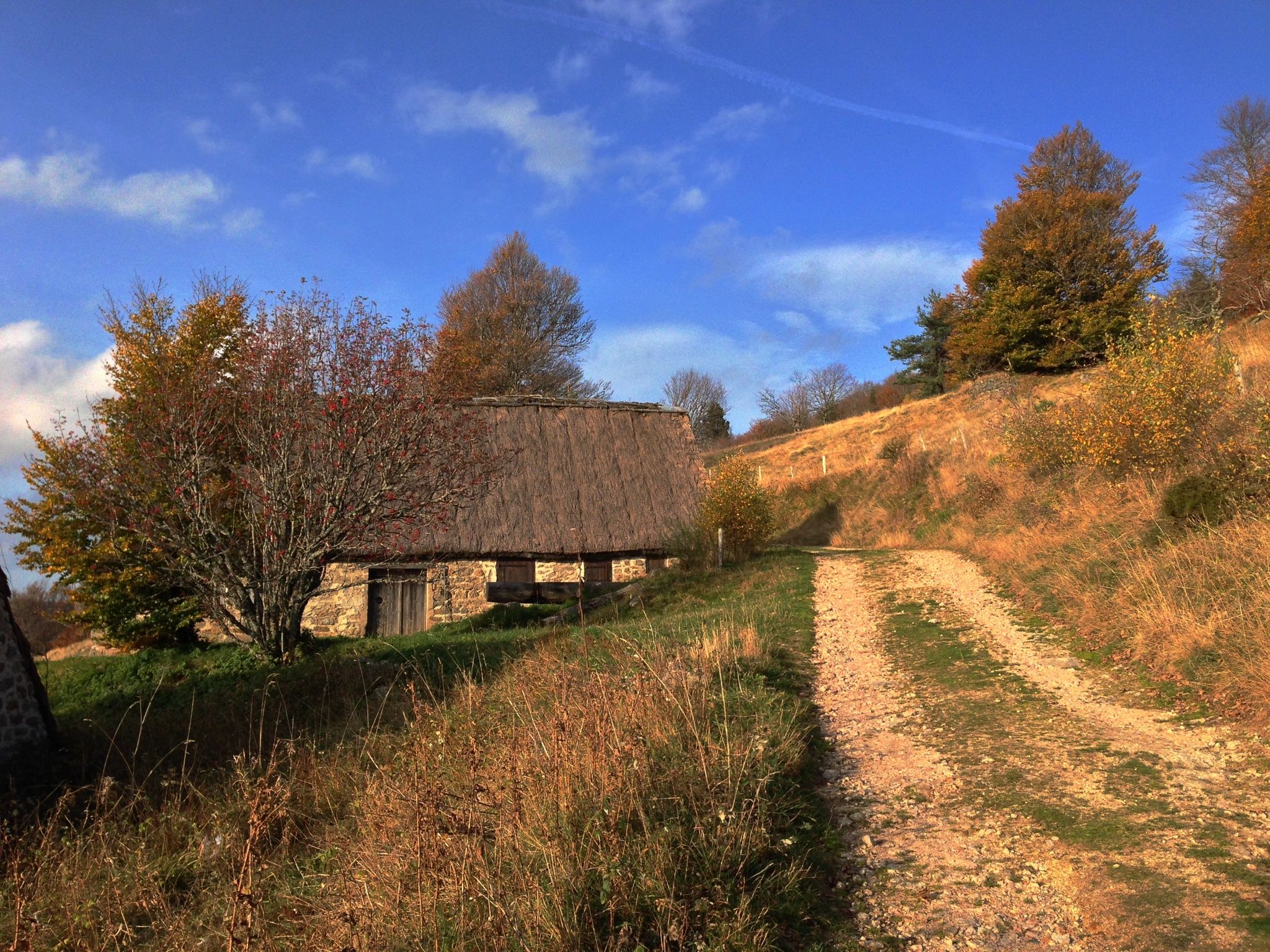
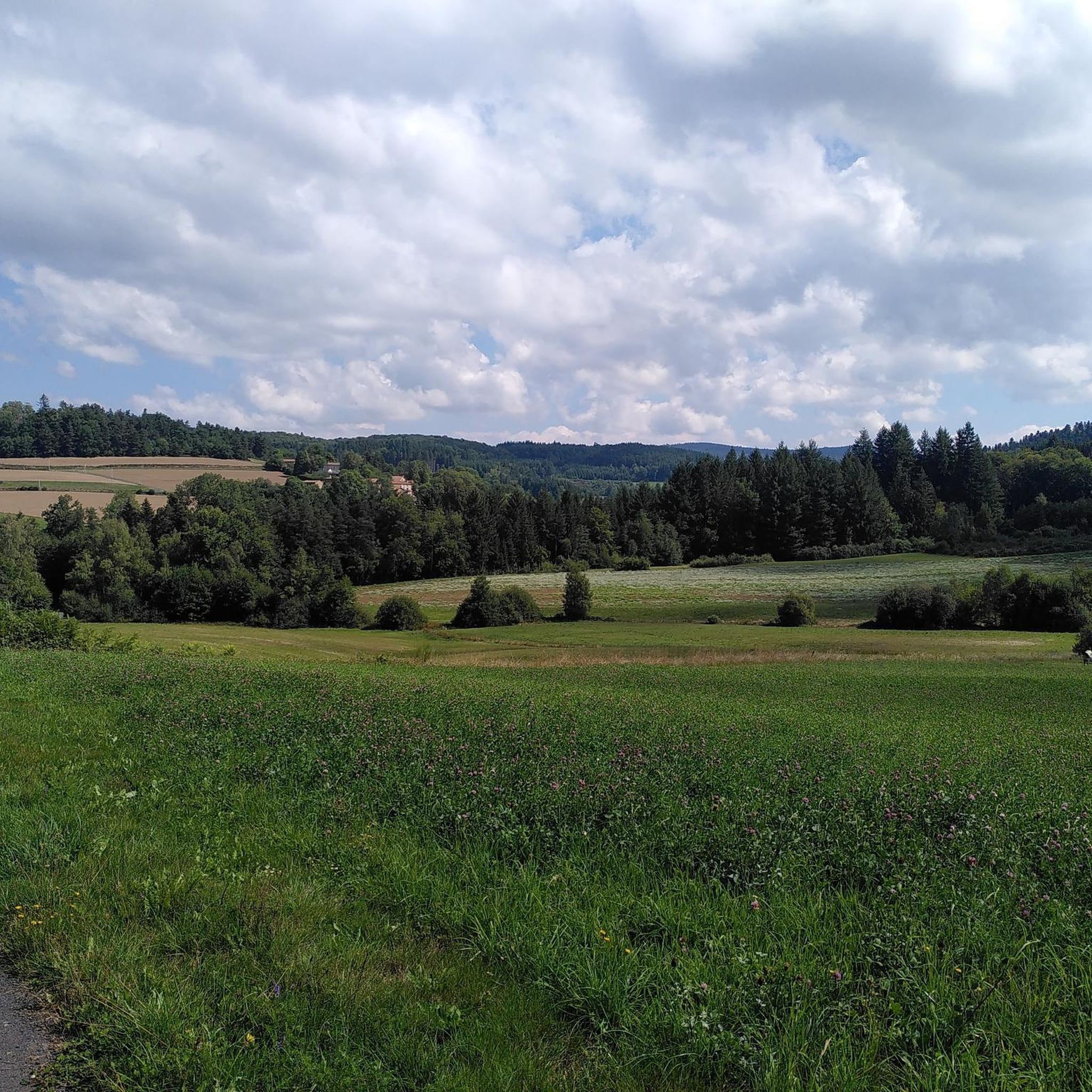
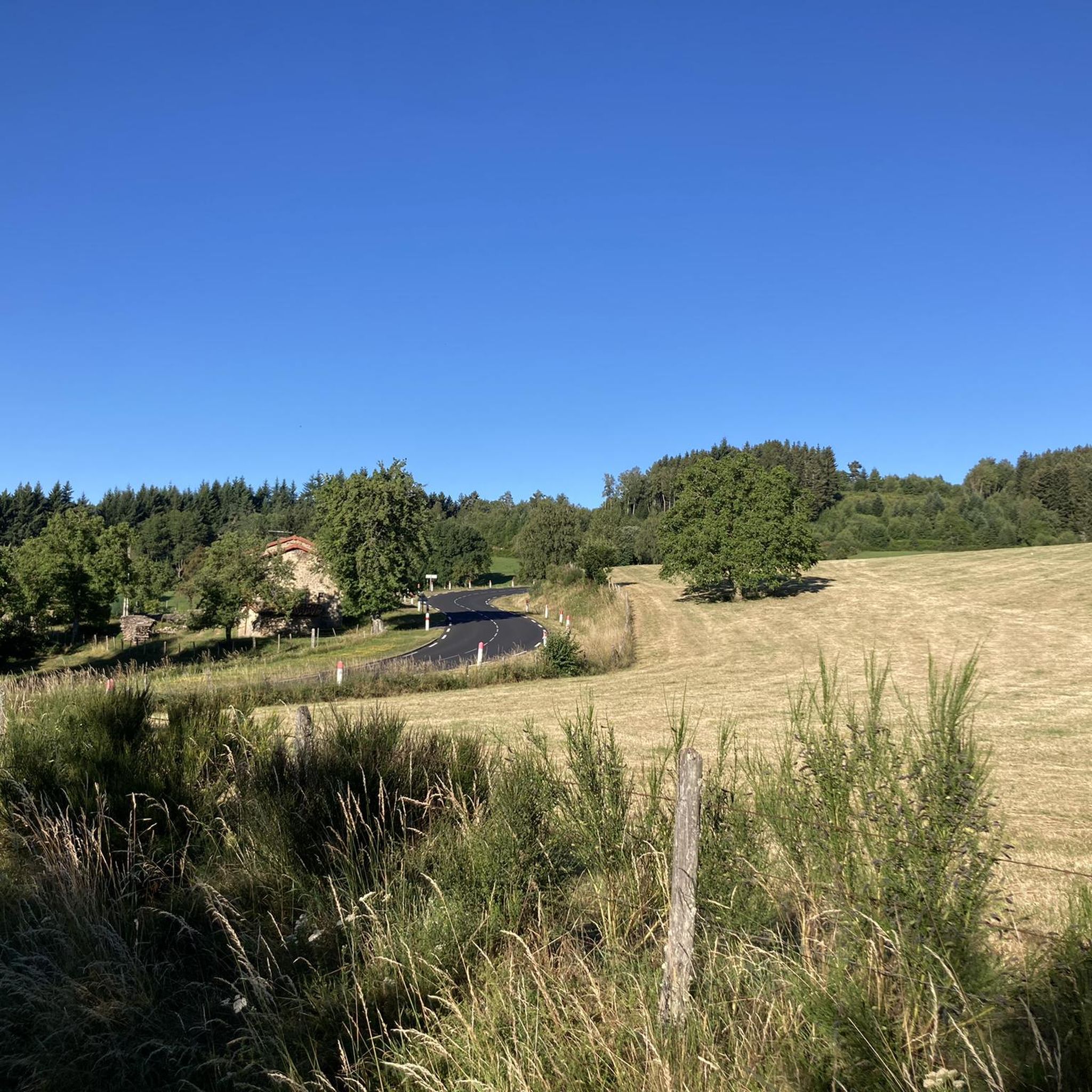

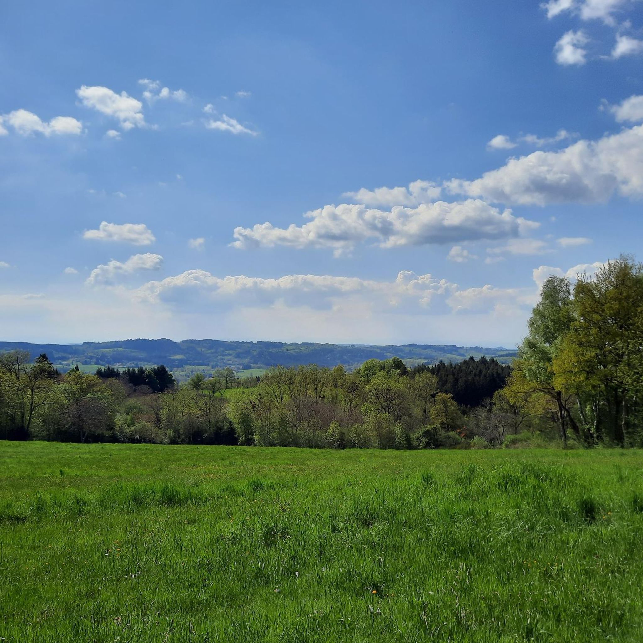
Other adventures around Cunlhat

Tips from the Community

Picturesque medieval village with splendid landscapes!
1
0

The Col de Toutée from the D105 is 6.2km long with a total drop of 322m. The average gradient is 5.2% with maximum gradients of 9%.
1
0

This small village of character shaped by the Dore is the link between the Livradois and the Forez. Stop for a coffee on the terrace or to visit its Gothic church or its two bridges over the Dore. Stroll through its picturesque streets before resuming your journey.
0
0

The surroundings of Dourbias offer lovely views of Livradois-Forez.
0
0


9 kilometers of climb at an average of 5-6% from Ambert. Attention, very exposed climb, not a single passage in the shade!
0
0
996 m of happiness. The descent is a treat!
0
0

Frequently Asked Questions
What kind of terrain can I expect on road cycling routes near Cunlhat?
Road cycling around Cunlhat offers a diverse landscape, characterized by rolling hills, significant ascents, and deep valleys within the Livradois-Forez Regional Natural Park. You'll encounter routes traversing ancient volcanic landscapes, dense forests, and tranquil river valleys, providing a varied and engaging experience.
Are there challenging road cycling routes with significant elevation gain around Cunlhat?
Yes, Cunlhat is known for its challenging routes. For instance, the Col de Baracuchet (1267 m) – Col des Supeyres loop from La Chapelle-Agnon is a difficult 96.9 km path with over 1,700 meters of elevation gain. Another demanding option is the Fourches Pass - 970 m – Saint-Jean Church, Ambert loop from Auzelles, covering nearly 90 km with over 1,600 meters of climbing.
Are there any moderate road cycling routes suitable for intermediate riders?
Absolutely. A popular moderate route is the View from Dourbias loop from Cunlhat, which is 26.7 km long with about 500 meters of ascent, offering panoramic views. Another great option is the Saint-Jean Church, Ambert – Ambert loop from La Chapelle-Agnon, a 67.3 km route with over 800 meters of elevation gain.
What are some scenic viewpoints or landmarks I can see while road cycling near Cunlhat?
The region offers several scenic spots. You can cycle past the Fourches Pass - 970 m, which provides excellent views. Other notable points include the Deux Frères Viewpoint and the historic Mauzun Castle. Many routes also offer glimpses of the unique volcanic landscapes characteristic of the Auvergne region.
What is the best time of year for road cycling in Cunlhat?
The best time for road cycling in Cunlhat is generally from spring through early autumn. During these months, the weather is typically mild, and the natural landscapes are at their most vibrant. Summer, particularly July, sees many cyclists enjoying the routes, as indicated by the popularity of routes on platforms like Bikemap.
Are there any circular road cycling routes around Cunlhat?
Yes, many of the road cycling routes around Cunlhat are designed as loops, allowing you to start and end in the same location. Examples include the View from Dourbias loop from Cunlhat and the challenging Hell's Hollow – Lac d'Aubusson d'Auvergne loop from Auzelles.
What do other road cyclists enjoy most about road cycling in Cunlhat?
The area is highly rated by the komoot community, with an average score of 4.7 stars. Reviewers often praise the diverse terrain, from rolling hills to challenging mountain passes, and the spectacular views of the volcanic landscapes and verdant forests. The blend of physical challenge and natural beauty is frequently highlighted.
Are there options for family-friendly road cycling near Cunlhat?
While many routes feature significant elevation, there are options for less strenuous rides. Look for routes categorized as 'easy' or those with lower elevation gains if cycling with family. The region's quiet roads within the Livradois-Forez Regional Natural Park can also provide a more relaxed environment, though specific dedicated family paths might be limited for road bikes.
Where can I find parking for road cycling routes in Cunlhat?
Cunlhat, being a village, typically offers public parking in or near the village center, which can serve as a convenient starting point for many routes. For routes starting from nearby towns like La Chapelle-Agnon or Auzelles, similar public parking facilities are usually available. It's advisable to check local signage upon arrival.
Can I find cafes or restaurants along the road cycling routes in Cunlhat?
Many routes pass through or near small villages and towns in the Livradois-Forez Regional Natural Park, where you can often find local cafes, bakeries, or restaurants. Cunlhat itself offers amenities for cyclists. Planning your route with stops in mind can enhance your experience and provide opportunities for refreshment.
What makes the Livradois-Forez Regional Natural Park a good area for road cycling?
Being part of the Livradois-Forez Regional Natural Park means cyclists benefit from well-preserved natural areas, often with less traffic, and a network of roads that wind through diverse and scenic landscapes. This includes lush forests, river valleys, and rolling hills, providing an immersive experience in nature away from urban congestion.
Are there any very long road cycling routes for experienced riders?
Yes, for experienced riders seeking longer distances, routes like the Col de Baracuchet (1267 m) – Col des Supeyres loop from La Chapelle-Agnon extends to nearly 97 km. Another substantial option is the Hell's Hollow – Lac d'Aubusson d'Auvergne loop from Auzelles, which covers over 84 km, both offering significant challenges and rewarding scenery.
Most popular attractions around Cunlhat

Get inspired with the komoot mobile app


Explore more
Browse the best Road cycling routes in other regions.
