The best road cycling routes around Échandelys
4.5
(35)
1,002
riders
108
rides
Road cycling routes around Échandelys traverse a "middle mountain" environment within the Livradois-Forez Regional Natural Park. The region features diverse landscapes, including volcanic terrain, extensive forests, and picturesque valleys. Cyclists encounter varied routes with both climbs and descents, characteristic of the Puy-de-Dôme department. Numerous streams originating from its granitic subsoil add to the scenic setting.
Best road cycling routes around Échandelys
- The most popular road cycling route is Fourches Pass - 970 m – Saint-Jean Church, Ambert loop from Fournols…
Last updated: July 1, 2026
5.0
(3)
246
riders
87.9km
04:19
1,220m
1,220m
Hard road ride. Very good fitness required. Some segments of this route may be unpaved and difficult to ride.
12
riders
47.3km
02:37
870m
870m
Moderate road ride. Good fitness required. Some segments of this route may be unpaved and difficult to ride.

Sign up for free
4.0
(1)
8
riders
45.6km
02:22
800m
800m
Moderate road ride. Good fitness required. Mostly well-paved surfaces and easy to ride.
8
riders
52.3km
02:43
890m
890m
Moderate road ride. Good fitness required. Some segments of this route may be unpaved and difficult to ride.
22
riders
10.8km
00:34
180m
180m
Easy road ride. Great for any fitness level. Mostly well-paved surfaces and easy to ride.
Get access to more routes and recommendations from other explorers.
Sign up for free
Already have an account?
Our route recommendations are based on thousands of hikes, rides, and runs completed by other people on komoot.
Start today with a free account
Your next adventure awaits.
Login or Signup
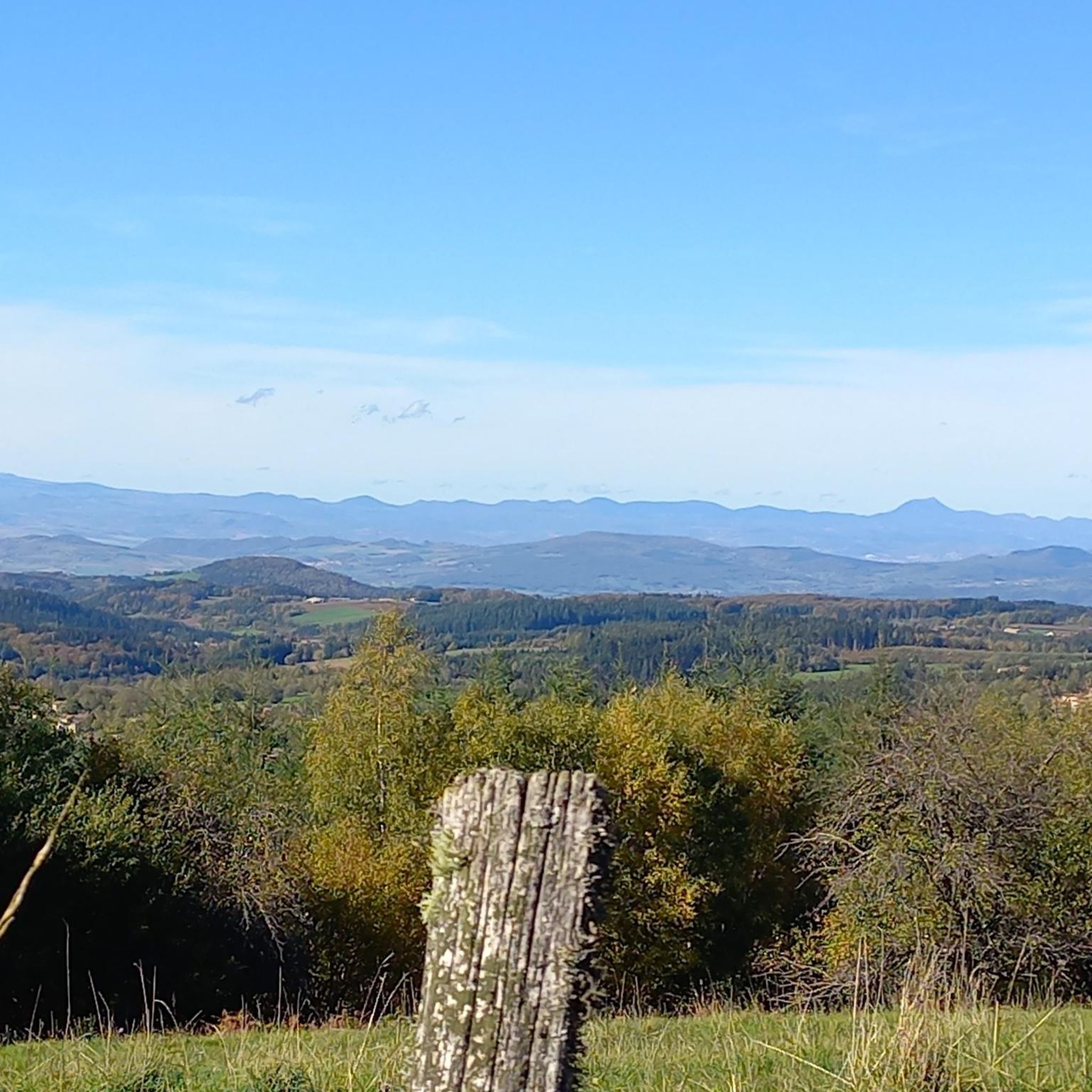
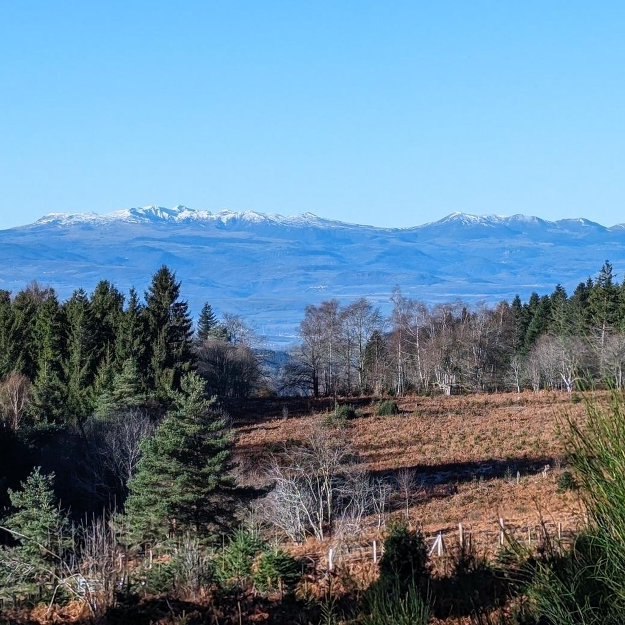
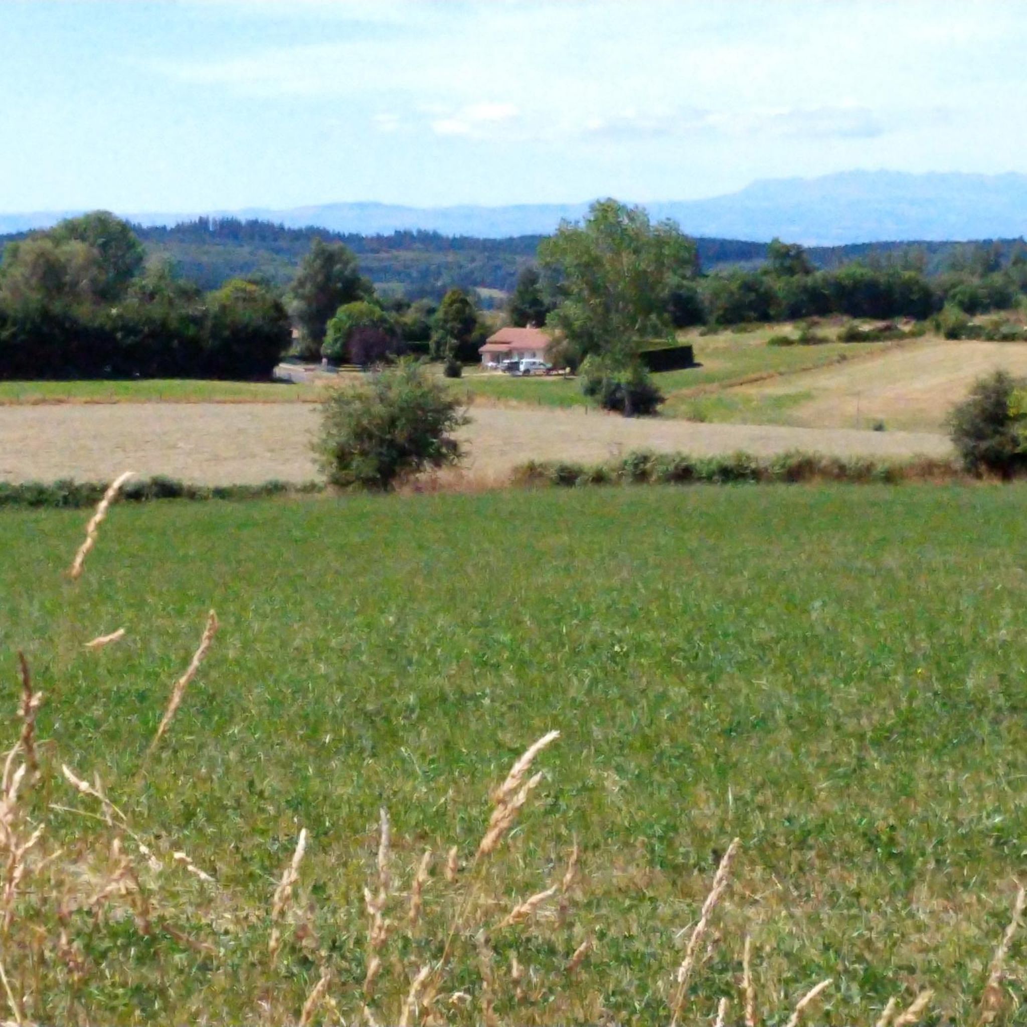

Tips from the Community

3 km from Sauzet
0
0
3 km from Sauzet
0
0


Small wooded road, few cars, with a pleasant slope to climb.
0
0

The Col de la Dételée is 18.85 km long with a total drop of 606 m. The average gradient is 3.2% with maximum gradients of 9%.
1
0
The Saint-Jean church is a catholic church in Ambert. It was built between 1471 and 1518. It is classified as a historical monument.
2
0

22.8 km climb From Jumeaux (Alt 405m) to the Col de la Dételée (Alt 1075m)
0
0

9 kilometers of climb at an average of 5-6% from Ambert. Attention, very exposed climb, not a single passage in the shade!
0
0
Frequently Asked Questions
How many road cycling routes are available around Échandelys?
There are over 100 road cycling routes around Échandelys, offering a wide range of options for different skill levels and preferences. The komoot community has explored these routes over 900 times.
What kind of terrain can I expect when road cycling in Échandelys?
Road cycling in Échandelys takes you through a diverse "middle mountain" environment within the Livradois-Forez Regional Natural Park. You'll encounter varied landscapes, including volcanic terrain, extensive forests, and picturesque valleys, with routes featuring both challenging climbs and rewarding descents. The region is part of the Puy-de-Dôme department, famous for its dormant volcanoes.
Are there routes suitable for beginners or those looking for an easier ride?
Yes, while the region is known for its challenging terrain, there are 3 easy and 61 moderate road cycling routes available around Échandelys. These routes offer a less strenuous experience while still allowing you to enjoy the beautiful landscapes.
Can I find routes with significant climbs for a challenge?
Absolutely. The "middle mountain" characteristic of the Auvergne region means plenty of climbs. Notable ascents like the Col du Beal, Col de la Croix Morand, and Col de Guéry are within reach, offering rewarding views. For a challenging ride, consider the Route forestière Fournols – Col de la Dételée loop from Fournols, which features over 1700 meters of elevation gain.
What are some notable viewpoints or landmarks I can see along the road cycling routes?
The region offers spectacular panoramic views, especially of the Chaîne des Puys, a UNESCO World Heritage site. You can find excellent vistas from points like the Fourches Pass - 970 m. The area also features local heritage sites like the old church in Échandelys and is near cultural sites such as the Château de Montfort.
Are there any waterfalls accessible by road bike in the area?
Yes, you can find natural water features in the region. The Gomot Waterfall is one such highlight that can be incorporated into your cycling adventures, offering a refreshing stop amidst your ride.
What do other cyclists say about road cycling in Échandelys?
The road cycling routes in Échandelys are highly rated by the komoot community, with an average score of 4.6 stars from over 30 reviews. Cyclists often praise the diverse terrain, the peaceful country roads, and the immersive experience through charming Auvergnat villages.
Are the road cycling routes typically circular?
Many of the road cycling routes around Échandelys are designed as loops, allowing you to start and finish at the same point. For example, the Cascade de Sauxillanges – Col de la Dételée loop from Fournols is a popular circular route.
What is the best time of year for road cycling in Échandelys?
Given its "middle mountain" environment, the warmer months from late spring to early autumn generally offer the most favorable conditions for road cycling in Échandelys. During this period, you can expect pleasant temperatures and lush landscapes, making for an ideal cycling experience.
How long do road cycling routes in Échandelys typically take to complete?
The duration of routes varies significantly based on distance and difficulty. For instance, a moderate route like the Ambert – Saint-Jean Church, Ambert loop from Fournols, which is about 47 km, takes approximately 2 hours 36 minutes. More challenging routes can take upwards of 4-5 hours.
Where can I find parking for road cycling routes in Échandelys?
While specific parking areas for each route are not detailed, Échandelys and nearby villages typically offer public parking options. It's advisable to look for parking in the starting villages of your chosen routes, such as Fournols, which serves as a common starting point for many loops.
Are there any specific passes or cols that are popular among road cyclists in Échandelys?
Yes, the region is home to several well-known cols that attract road cyclists. Beyond the Fourches Pass - 970 m, you can challenge yourself on climbs like the Col de la Dételée, which is featured in routes such as the Col de la Dételée – Route forestière Fournols loop from Fournols.
Most popular attractions around Échandelys

Get inspired with the komoot mobile app


Explore more
Browse the best Road cycling routes in other regions.
