The best walks and hikes around Saint-Martin-Des-Olmes
4.5
(313)
1,590
hikers
102
hikes
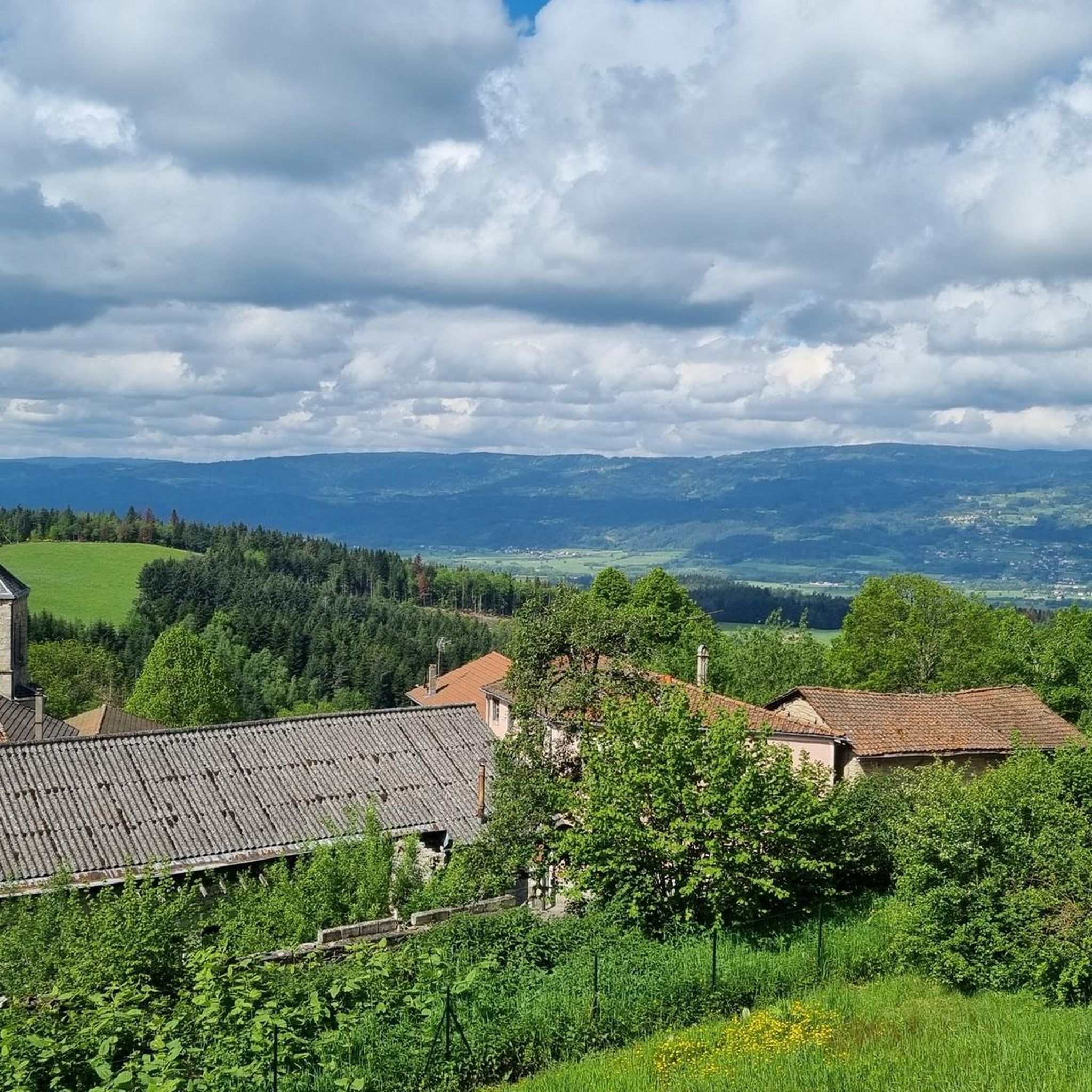
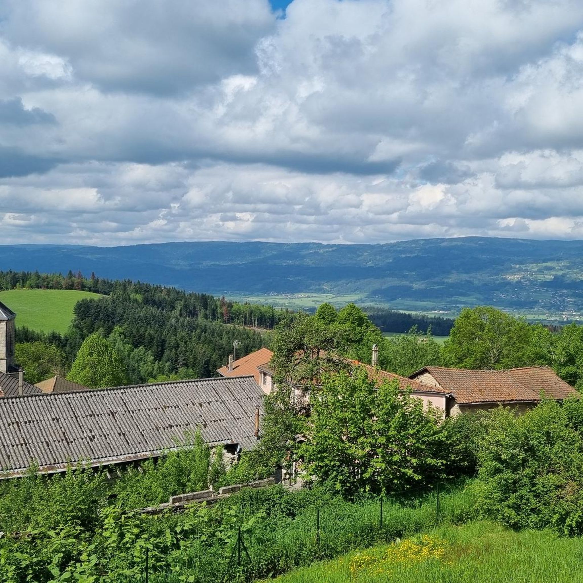
Hiking around Saint-Martin-Des-Olmes offers diverse landscapes within or near the Livradois-Forez Regional Natural Park. The region features tranquil forests, open spaces, and views of the Ambert plain and Livradois mountains. Key natural features include lakes like Lac des Pradeaux, streams such as the Ruisseau de Macharoux, and plateaus. The terrain provides varied walking experiences, from shaded paths to panoramic viewpoints.
Best hiking trails around Saint-Martin-Des-Olmes
- The most popular hiking route is Papermakers' Trail, a 4.5 miles (7.2 km) trail…
Last updated: June 29, 2026
4.8
(44)
175
hikers
7.18km
02:06
190m
190m
Moderate hike. Good fitness required. Mostly accessible paths. Sure-footedness required.
4.8
(20)
102
hikers
7.09km
01:55
100m
100m
Easy hike. Great for any fitness level. Easily-accessible paths. Suitable for all skill levels.

Sign up for free
4.6
(9)
46
hikers
6.15km
01:40
80m
90m
Easy hike. Great for any fitness level. Easily-accessible paths. Suitable for all skill levels.
5.0
(1)
10
hikers
9.27km
02:34
160m
160m
Moderate hike. Good fitness required. Easily-accessible paths. Suitable for all skill levels.
5.0
(2)
8
hikers
5.34km
01:30
110m
110m
Easy hike. Great for any fitness level. Easily-accessible paths. Suitable for all skill levels.
Get access to more routes and recommendations from other explorers.
Sign up for free
Already have an account?
Our route recommendations are based on thousands of hikes, rides, and runs completed by other people on komoot.
Start today with a free account
Your next adventure awaits.
Login or Signup

Tips from the Community

Reserved for users of ravine paths with stones.
0
0

The view is superb, the surrounding paths are great!
0
0

The Col des Pradeaux which I have climbed several times since my installation in Ambert. A must with the Col des Supeyres.
0
0

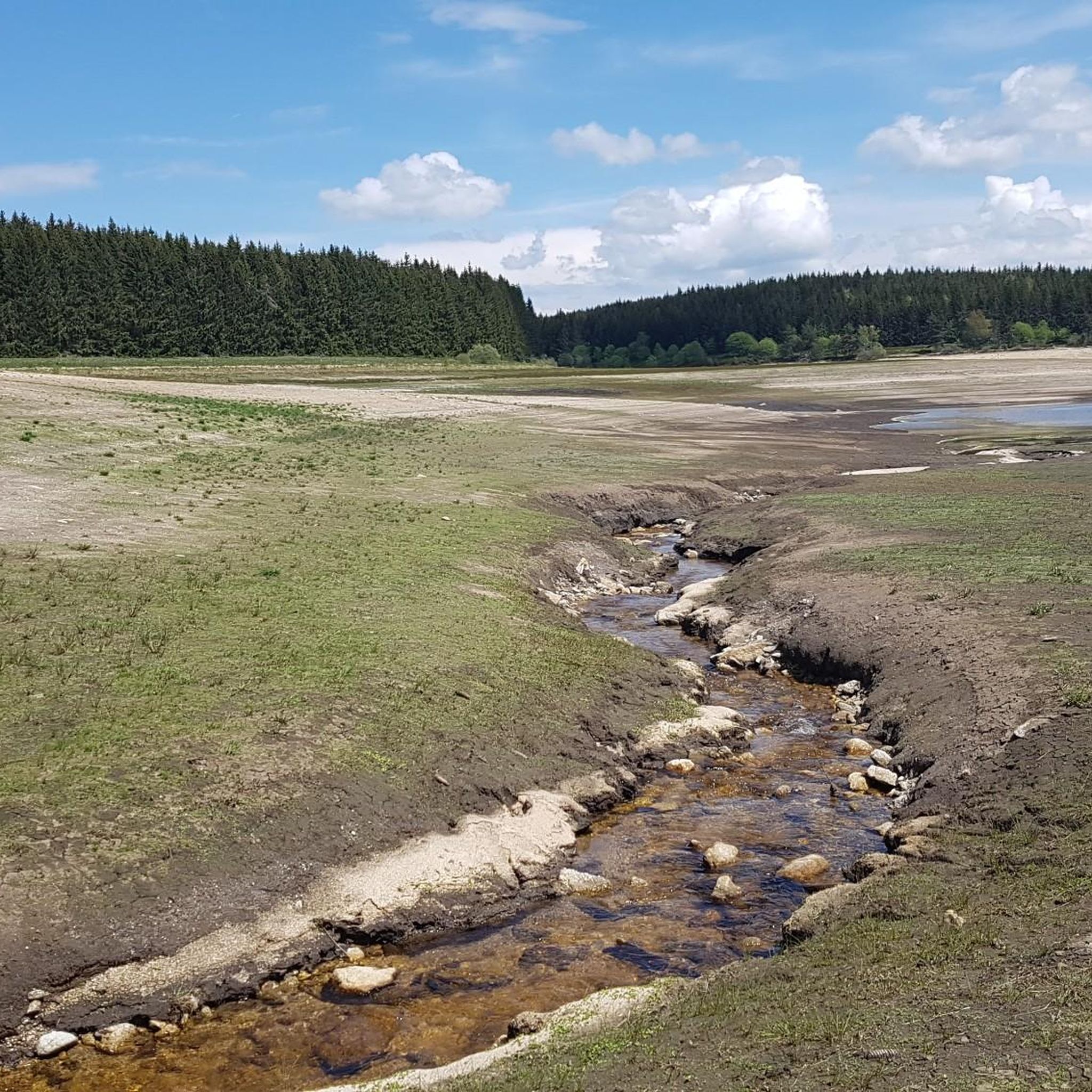
Built in the late 1940s on the Stream of Hell, this dam rises to 1,196 meters next to the pass of the same name. This location offers an ideal setting for a walk or for fishing.
0
0
The Col des Pradeaux is located at an altitude of 1,195 meters. It connects the Ance valley and the Dore valley. An inn located at the pass allows you to take a short break before resuming your journey.
0
0

A true monument of the French paper industry (literally and figuratively). It is possible to visit the mill, which is still in operation.
0
0
Various old mills are present all along the route, especially along the Gourre stream, where various remains of old mills used for papermaking remain. The trail also crosses the creek several times via nice little stone bridges.
0
0

You can go around the entire lake on beautiful hiking trails; in summer on foot, in winter on cross-country skis
2
0
Frequently Asked Questions
How many hiking trails are available in Saint-Martin-Des-Olmes?
There are over 100 hiking routes around Saint-Martin-Des-Olmes, offering a wide variety of experiences. This includes 44 easy trails, 59 moderate routes, and 6 more challenging expeditions for experienced hikers.
What kind of terrain can I expect on hikes around Saint-Martin-Des-Olmes?
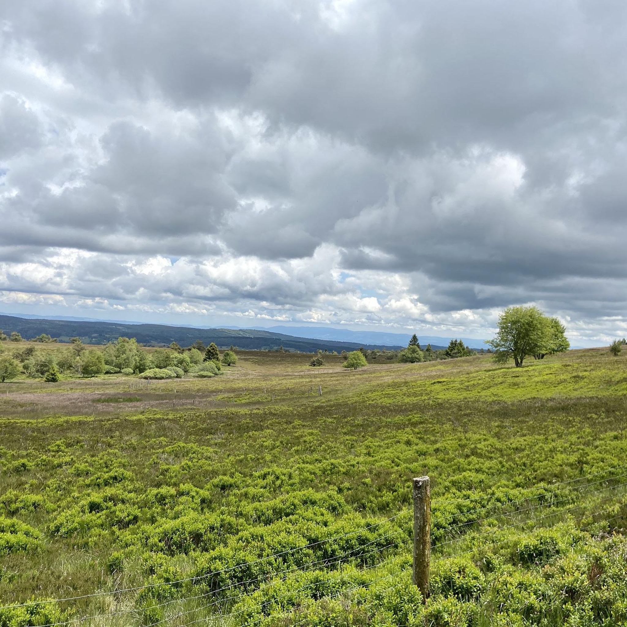
Hikers in Saint-Martin-Des-Olmes can expect diverse terrain, from tranquil forests and shaded paths along streams like the Ruisseau de Macharoux to expansive open spaces. Many routes offer picturesque views of the Ambert plain and the Livradois mountains, with opportunities to explore plateaus and ascend towards summits for extensive panoramas.
Are there any easy hiking trails suitable for beginners or casual walkers?
Yes, Saint-Martin-Des-Olmes offers 44 easy hiking trails. A great option is the Lac des Pradaux – Pradeaux Dam loop from Les Pradeaux, which is 7.1 km long with low elevation gain, providing accessible and scenic routes around the lake.
Are there more challenging hikes for experienced hikers in the region?
While the majority of trails are easy to moderate, there are 6 difficult routes for those seeking a greater challenge. These trails often involve more significant elevation changes and longer distances, providing a rewarding experience within the varied landscapes of the Livradois-Forez Regional Natural Park.
What natural features or landmarks can I see while hiking around Saint-Martin-Des-Olmes?
The region is rich in natural beauty. You can explore features like the Lac des Pradeaux and Barrage des Pradeaux, with trails offering beautiful viewpoints over the Ance valley. Other notable highlights include mountain passes such as Col des Supeyres and Col des Pradeaux, and the summit of The Grande Pierre Bazanne.
Are there any historical sites or cultural points of interest along the trails?
Yes, some trails offer glimpses into the region's history. For example, the Papermakers' Trail explores historic paper mills. Additionally, the 'Circuit de Saint-Martin-des-Olmes' (mentioned in region research) passes near a megalithic site and offers a detour to discover the Saint-Martin chapel.
What do other hikers say about the trails in Saint-Martin-Des-Olmes?
The hiking routes in Saint-Martin-Des-Olmes are highly rated by the komoot community, with an average score of 4.6 stars from nearly 300 reviews. Hikers often praise the diverse landscapes, well-maintained paths, and the stunning panoramic views of the Ambert plain and Livradois mountains.
Are there circular hiking routes in the area?
Many of the trails around Saint-Martin-Des-Olmes are circular, allowing you to start and end at the same point. Examples include the Pradeaux Dam loop from Barrage des Pradeaux, which takes you through varied terrain around the dam, and the Col des Pradeaux loop from Les Pradeaux.
Are the hiking trails in Saint-Martin-Des-Olmes suitable for families with children?
Yes, many trails are suitable for families. The region offers numerous easy routes with low elevation gain, such as the loop around Lac des Pradeaux. These paths often lead through shaded forests and along calm waters, providing a pleasant experience for all ages.
Can I bring my dog on the hiking trails in Saint-Martin-Des-Olmes?
Generally, dogs are welcome on trails in the Livradois-Forez Regional Natural Park, but it's always advisable to keep them on a leash, especially in areas with livestock or protected wildlife. Please respect local signage and ensure your dog's waste is properly disposed of.
What is the best time of year for hiking in Saint-Martin-Des-Olmes?
The best time for hiking in Saint-Martin-Des-Olmes is typically from spring through autumn. During these seasons, the weather is generally mild, and the landscapes are vibrant, offering comfortable conditions for exploring the forests, lakes, and panoramic viewpoints.
Is there public transport available to reach the trailheads?
While Saint-Martin-Des-Olmes is a rural area, some local bus services might connect to nearby towns. However, for direct access to many trailheads, especially those within the Livradois-Forez Regional Natural Park, personal transport is often the most convenient option.
Where can I find parking for hiking trails in Saint-Martin-Des-Olmes?
Many popular trailheads, particularly those around Lac des Pradeaux and Barrage des Pradeaux, offer designated parking areas. It's recommended to check specific route details on komoot or local tourist information for precise parking locations before your hike.
Most popular routes around Saint-Martin-Des-Olmes
Most popular attractions around Saint-Martin-Des-Olmes

Get inspired with the komoot mobile app


Explore more
Browse the best Hikes in other regions.
