The best running trails around Saint-Bonnet-Le-Bourg
4.0
(1)
101
runners
25
runs
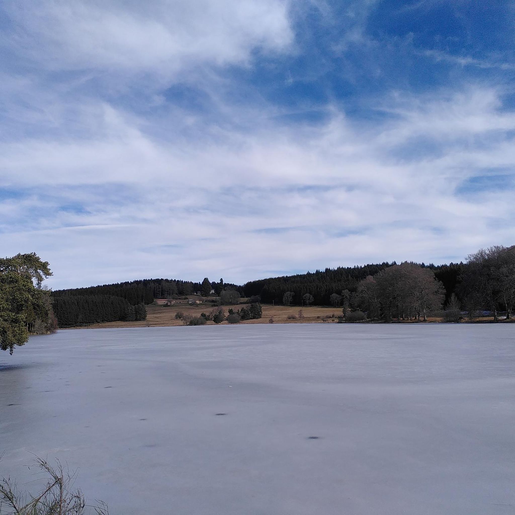
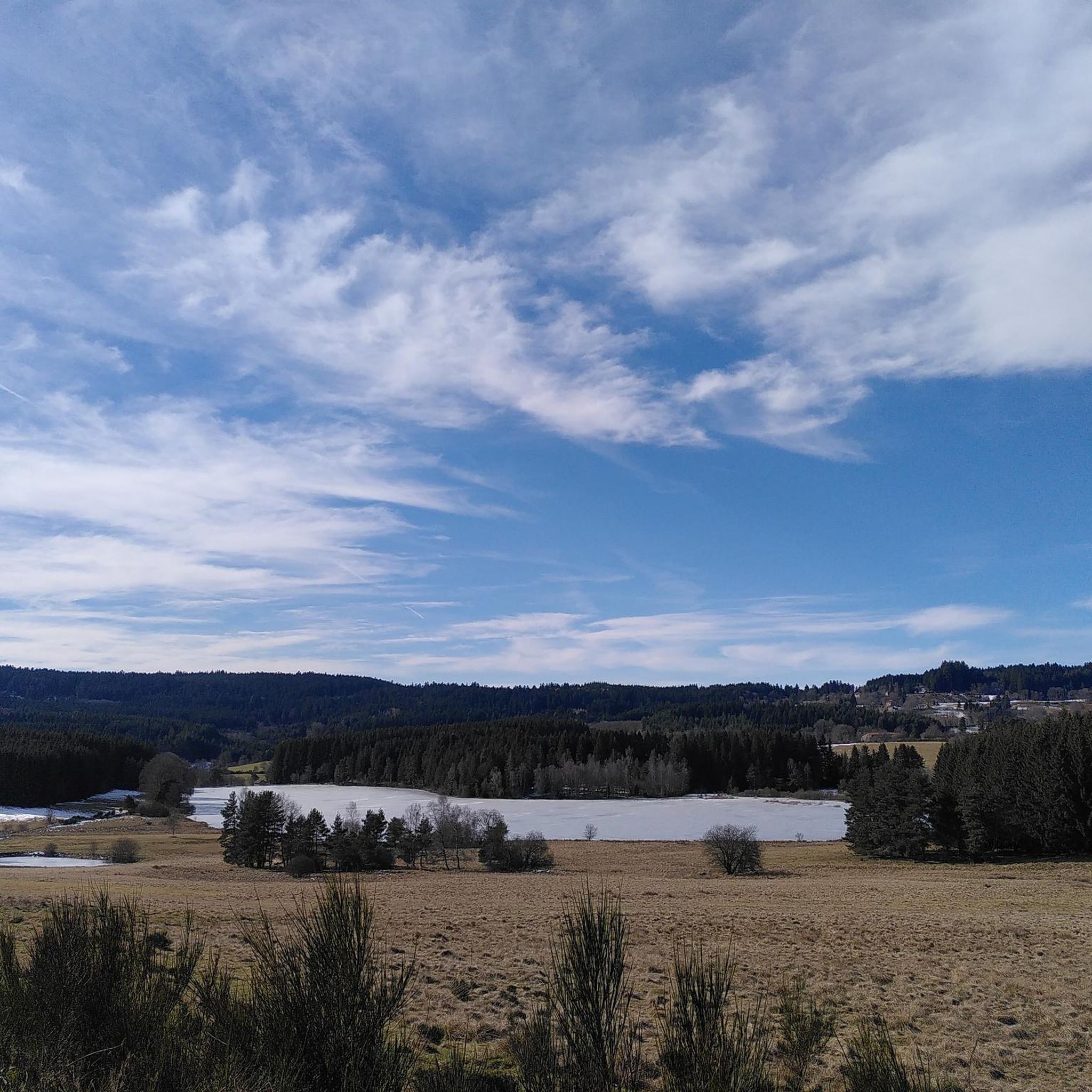
Jogging routes around Saint-Bonnet-Le-Bourg are situated within the diverse landscapes of the Livradois-Forez Regional Nature Park. This region features a mix of expansive forests, open prairies, and tranquil watercourses, providing varied terrain for runners. Joggers can experience routes through dense woodlands, alongside rivers, and across open fields. The area also includes the Hautes Chaumes, offering higher elevation for those seeking more challenging runs.
Best jogging routes around Saint-Bonnet-Le-Bourg
- The most popular jogging route is Château de Chassignolles loop from Chassignolles…
Last updated: July 1, 2026
6
runners
12.8km
01:35
320m
320m
Hard run. Very good fitness required. Mostly paved surfaces. Suitable for all skill levels.
5
runners
5.62km
00:41
100m
100m
Moderate run. Good fitness required. Mostly paved surfaces. Suitable for all skill levels.

Sign up for free
4.0
(1)
3
runners
8.51km
00:56
130m
130m
Moderate run. Good fitness required. Mostly paved surfaces. Suitable for all skill levels.
4
runners
10.5km
01:12
180m
180m
Moderate run. Good fitness required. Mostly paved surfaces. Suitable for all skill levels.
3
runners
13.4km
01:29
310m
310m
Hard run. Very good fitness required. Mostly paved surfaces. Suitable for all skill levels.
Get access to more routes and recommendations from other explorers.
Sign up for free
Already have an account?
Our route recommendations are based on thousands of hikes, rides, and runs completed by other people on komoot.
Start today with a free account
Your next adventure awaits.
Login or Signup


Frequently Asked Questions
How many running routes are available around Saint-Bonnet-Le-Bourg?
There are over 20 running routes in the Saint-Bonnet-Le-Bourg area, offering a variety of distances and difficulty levels within the Livradois-Forez Regional Nature Park.
Are there any easy jogging routes suitable for beginners or families?
Yes, while many routes feature varied terrain, you can find moderate options. For example, the Running loop from Fournols is a 5.6 km (3.5 miles) trail that takes about 40 minutes to complete, offering a gentler experience through the local countryside.
What kind of terrain can I expect on the jogging trails in this region?
The terrain around Saint-Bonnet-Le-Bourg is quite diverse, ranging from dense forests and open prairies to routes alongside tranquil watercourses. You'll encounter varied elevation changes, including some significant climbs, especially if you venture towards the Hautes Chaumes in the Forez mountains.
Are there any long-distance running trails for experienced runners?
For those seeking a longer challenge, routes like the Running loop from Les Gayores cover approximately 13.4 km (8.3 miles) with significant ascents and descents, making it a demanding option for experienced runners.
Can I bring my dog on the running trails around Saint-Bonnet-Le-Bourg?
Generally, trails within the Livradois-Forez Regional Nature Park are dog-friendly, but it's always recommended to keep your dog on a leash, especially in areas with livestock or protected wildlife. Please ensure you follow local regulations and clean up after your pet.
What natural attractions or landmarks can I see while jogging?
The region offers several points of interest. You might encounter natural sites like the Gomot Waterfall or historical remnants such as the Issandolanges Ruins. For panoramic views, consider trails that lead to viewpoints like Deux Frères Viewpoint.
Are there circular running routes available?
Yes, many of the running routes in the area are designed as loops, allowing you to start and finish at the same point. Examples include the Running loop from Le Bourg and the Running loop from Saint-Blaise, which offer convenient circular paths.
What is the best time of year for running in Saint-Bonnet-Le-Bourg?
The diverse landscapes of the Livradois-Forez Regional Nature Park are enjoyable throughout much of the year. Spring and autumn offer pleasant temperatures and vibrant scenery, while summer provides longer daylight hours. Winter running is possible, but some higher elevation trails might be affected by snow or ice.
Is parking available near the trailheads?
While specific parking details for every trailhead are not always listed, the region is generally well-equipped for outdoor enthusiasts. Many trailheads, especially those starting from villages or popular natural sites, typically have designated parking areas. It's advisable to check local signage upon arrival.
How accessible are the running routes by public transport?
Access to specific trailheads by public transport can be limited in rural areas like Saint-Bonnet-Le-Bourg and the Livradois-Forez Regional Nature Park. While some villages may have bus services, reaching more remote starting points often requires a car. Planning your route in advance and checking local transport schedules is recommended.
Are there any routes with significant elevation gain for a challenging workout?
Absolutely. The region, particularly within the Hautes Chaumes of the Forez mountains, offers routes with substantial elevation changes. For instance, the Château de Chassignolles loop from Chassignolles features over 320 meters (1,000 feet) of elevation gain over its 12.8 km (7.9 miles) distance, providing a challenging experience.
What makes the Livradois-Forez Regional Nature Park ideal for running?
The park's appeal lies in its varied landscapes, which include expansive forests, open prairies, and serene watercourses. This diversity provides a constantly changing and engaging environment for runners, from gentle paths to more challenging routes with panoramic views, ensuring a rich outdoor experience.
Most popular routes around Saint-Bonnet-Le-Bourg
Most popular attractions around Saint-Bonnet-Le-Bourg

Get inspired with the komoot mobile app


Explore more
Browse the best Running Trails & Routes in other regions.
