The best walks and hikes around Mûr-De-Bretagne
4.4
(204)
1,214
hikers
24
hikes
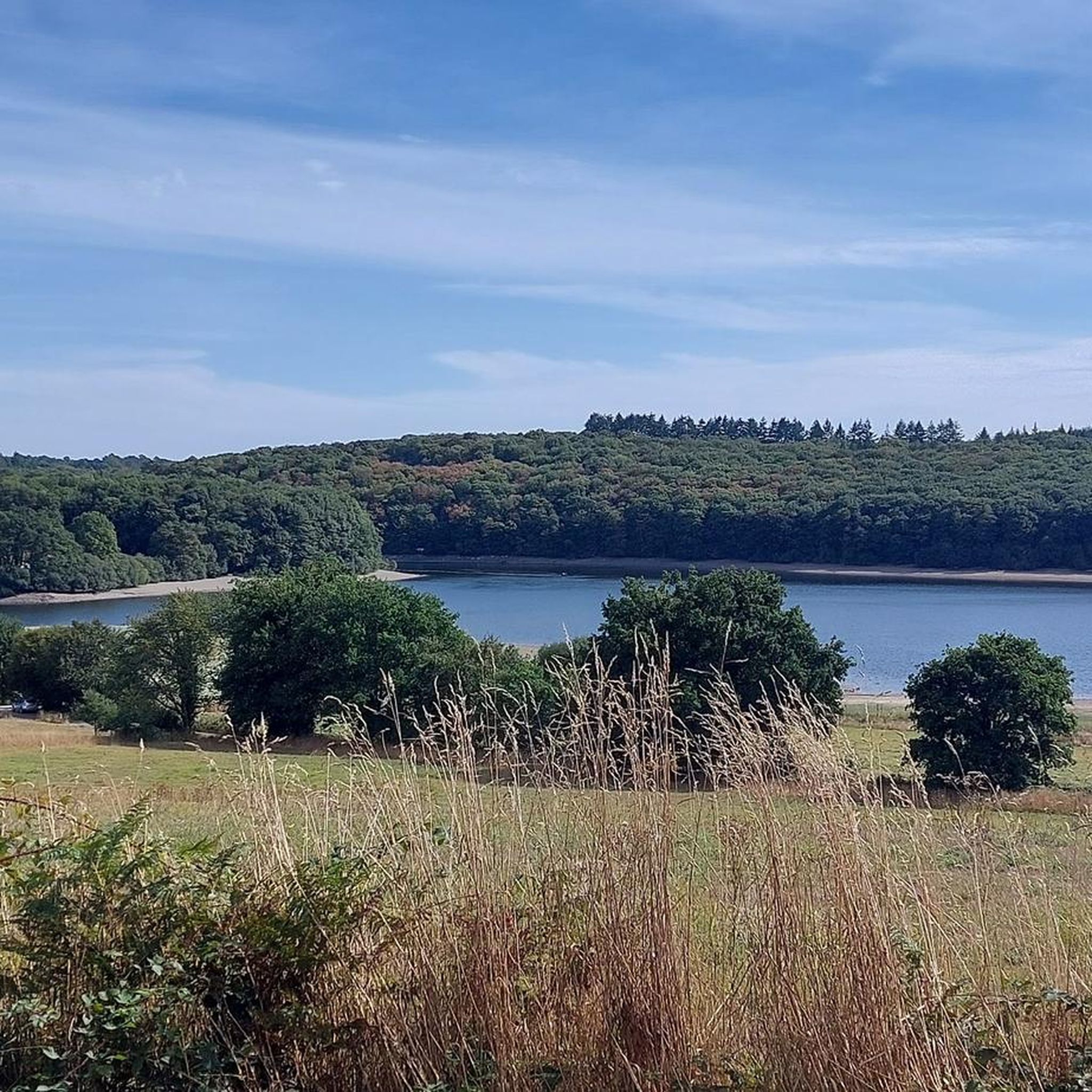
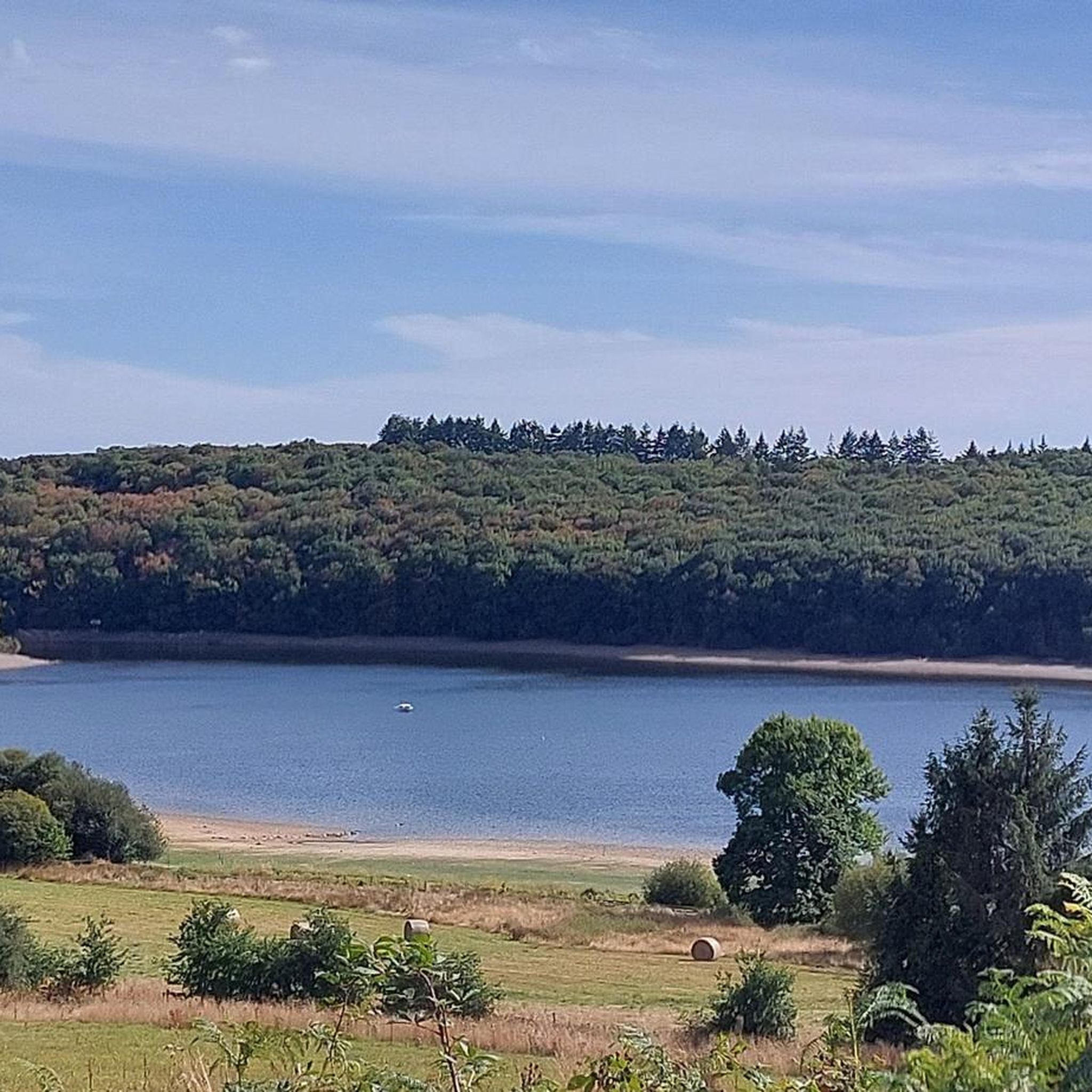
Hiking around Mûr-De-Bretagne offers diverse terrain, characterized by the large artificial Lac de Guerlédan and its surrounding dense woodlands like the Forêt de Quénécan. The region features a hilly countryside with elevations ranging from 69 to 290 meters, providing varied routes. The historic Nantes-Brest Canal also passes through the area, offering flat towpaths alongside more undulating forest trails. This combination of aquatic environments, forests, and hills creates a varied landscape for outdoor exploration.
Best hiking trails around Mûr-De-Bretagne
- The most popular hiking route is Guerlédan Lake and Beach – Lac de Guerlédan loop from Caurel, a 6.9 miles (11.1 km) trail that takes 3 hours to complete, offering views of the lake and its shores.
- Another top favourite among local hikers is Lac de Guerlédan – Kerven Goaz Vioch Washhouse loop from La Gare, a difficult 15.2 miles (24.4 km) path that explores the lake's perimeter and historical sites.
- Local hikers also love the Guerlédan Lake and Beach – Landroannec Cove loop from Caurel, a 2.9 miles (4.6 km) trail leading through woodlands and along the lake, often completed in about 1 hour 15 minutes.
- Hiking around Mûr-De-Bretagne is defined by the expansive Lac de Guerlédan, dense forest paths, and sections of the Nantes-Brest Canal. The network offers options for easy, moderate, and difficult routes.
- The routes in Mûr-De-Bretagne are highly rated by the komoot community with an average score of 4.4 stars from over 150 reviews. More than 950 hikers have used komoot to explore Mûr-De-Bretagne's varied terrain.
Last updated: August 27, 2026
4.7
(47)
235
hikers
11.2km
03:00
130m
130m
Moderate hike. Good fitness required. Easily-accessible paths. Suitable for all skill levels.
4.7
(7)
137
hikers
24.4km
06:32
280m
280m
Hard hike. Very good fitness required. Easily-accessible paths. Suitable for all skill levels.

Sign up for free
4.4
(8)
43
hikers
4.84km
01:19
70m
70m
Easy hike. Great for any fitness level. Easily-accessible paths. Suitable for all skill levels.
4.9
(11)
39
hikers
11.2km
03:16
290m
290m
Moderate hike. Good fitness required. Easily-accessible paths. Suitable for all skill levels.
4.2
(9)
51
hikers
Easy hike. Great for any fitness level. Easily-accessible paths. Suitable for all skill levels.
Get access to more routes and recommendations from other explorers.
Sign up for free
Already have an account?
Our route recommendations are based on thousands of hikes, rides, and runs completed by other people on komoot.
Start today with a free account
Your next adventure awaits.
Login or Signup
Popular around Mûr-De-Bretagne
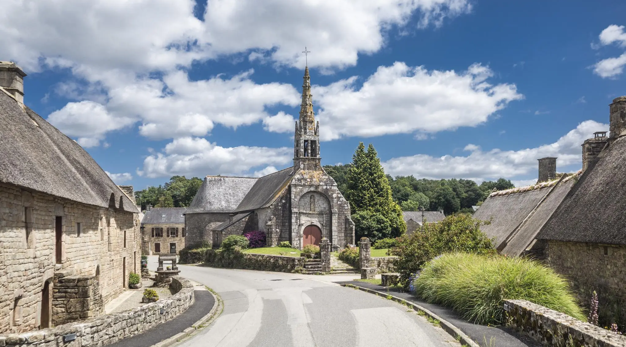
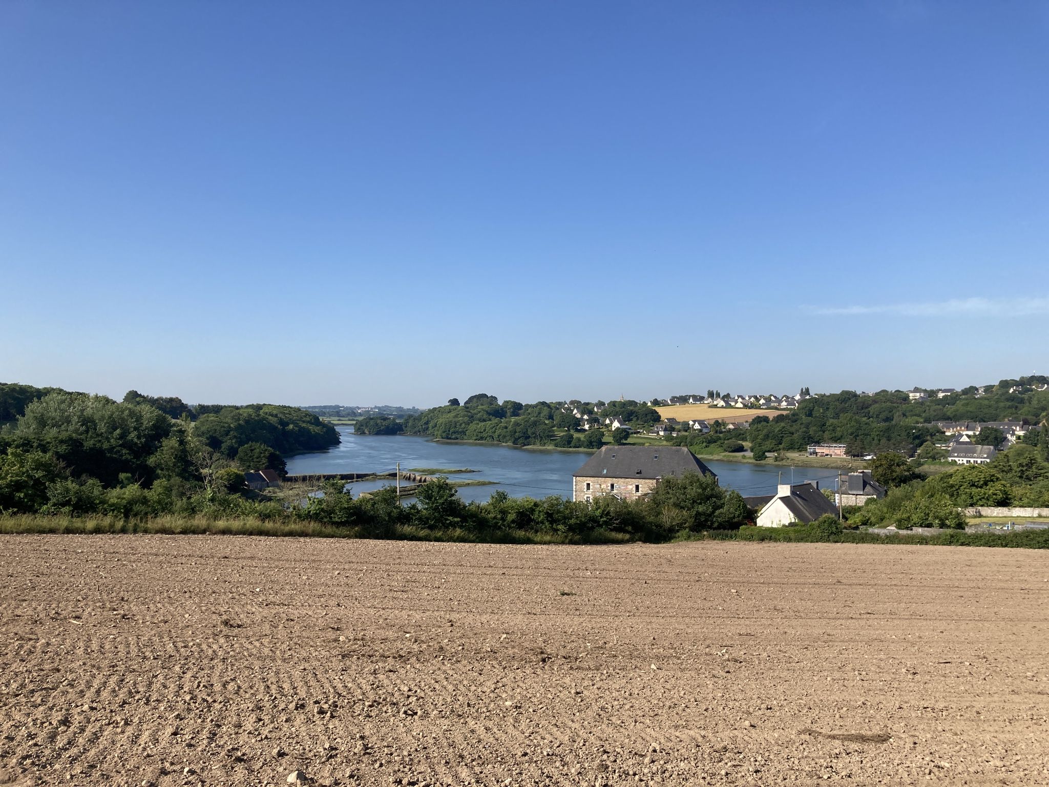
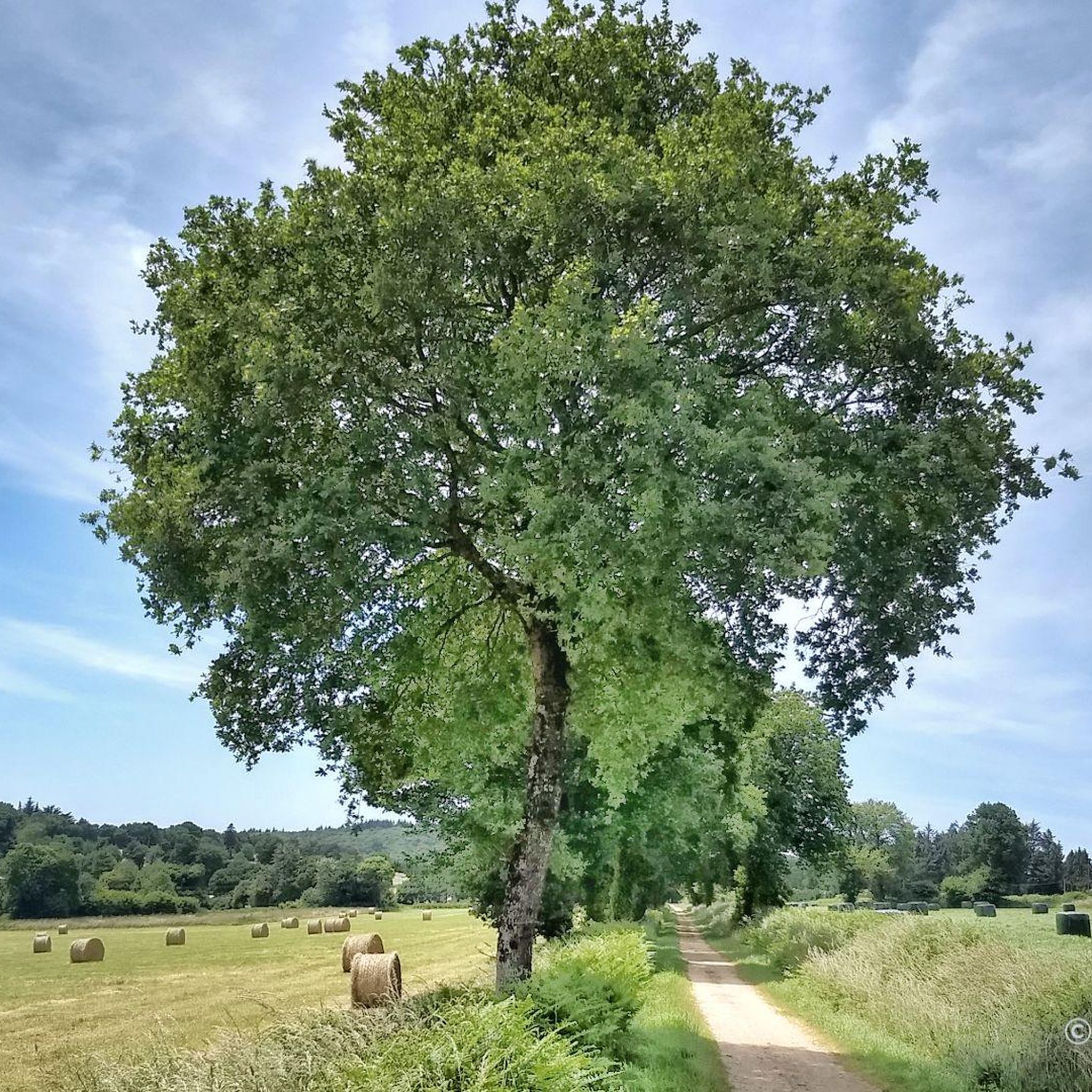
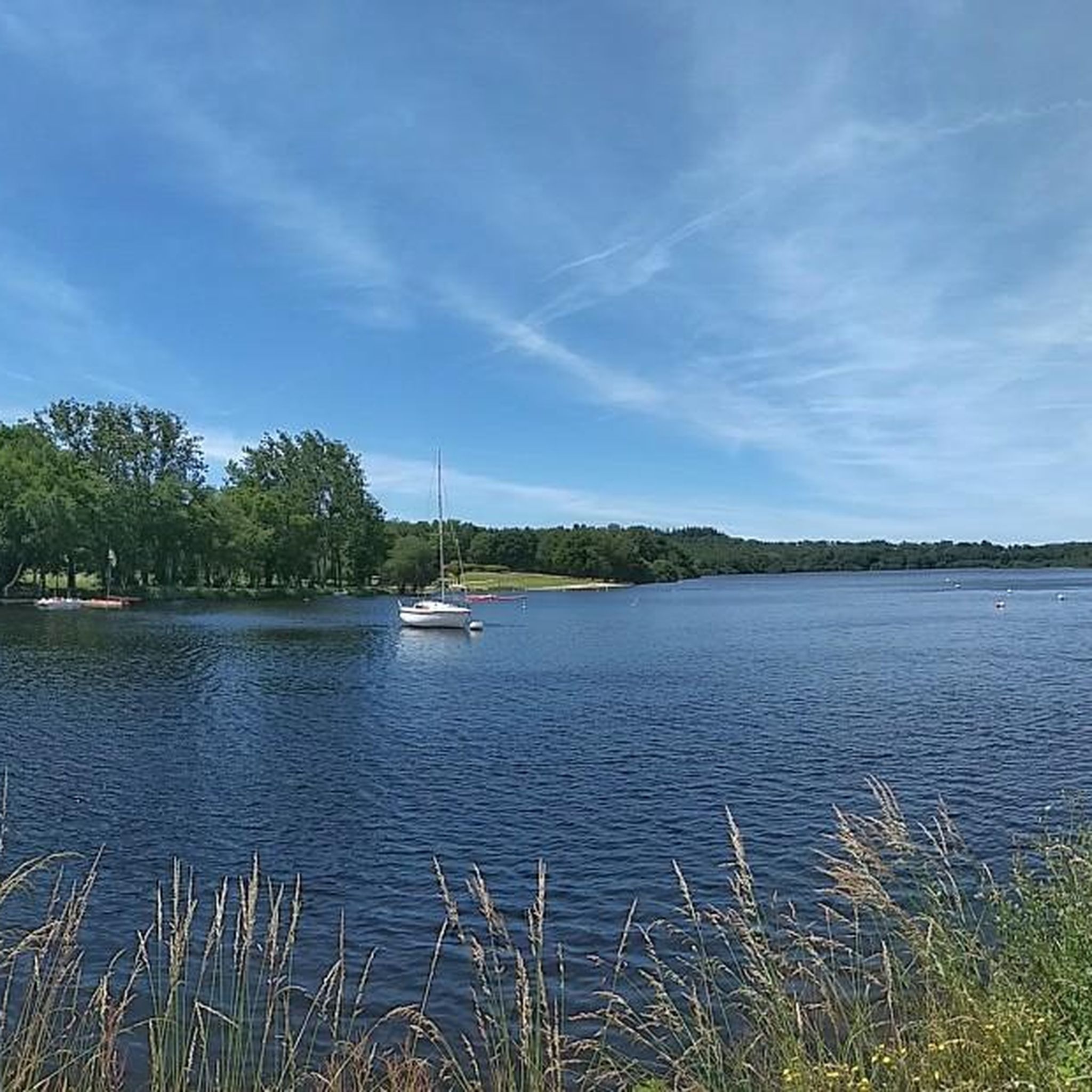



Tips from the Community

Super hiking trails beautiful area
0
0

The silence of the woods, the beauty of the landscape and the views over Lake Guerlédan
0
0

A great detour to Saint Aignan, the Les Pêcheries de Guerlédan restaurant is very welcoming, with bike parking, a generous meal and welcome. Crossing the village, you can reach the canal a little further on via the lock.
0
0

beautiful Panorama next to the Ste Trephine chapel
0
0

This superb chapel located near Lake Guerlédan is dedicated to Sainte-Tréphine. Fairly recent, it was built between March 1897 and May 1898 on the initiative of Father Ollichon, rector of the parish of Saint-Aignan from 1892 to 1899. Its location in the forest adds to the ambient mysticism.
1
0

A very nice climb before enjoying this grandiose panorama in clear weather, but the effort is definitely worth it.
0
0

Frequently Asked Questions
What kind of terrain can I expect on hikes around Mûr-De-Bretagne?
The Mûr-De-Bretagne region offers diverse terrain. You'll find undulating countryside with elevations ranging from 69 to 290 meters, providing varied routes. Many trails wind through dense woodlands like the Forêt de Quénécan and Bois de Caurel, while others follow the flat towpaths of the historic Nantes-Brest Canal or the shores of the vast Lac de Guerlédan. This mix ensures options for different preferences and fitness levels.
How many hiking trails are available in the Mûr-De-Bretagne area?
There are over 25 hiking trails around Mûr-De-Bretagne, catering to various skill levels. You'll find 15 easy routes, 8 moderate, and 2 more challenging options, ensuring there's a path for every hiker.
What is the best time of year to go hiking in Mûr-De-Bretagne?
The region is beautiful year-round, but spring and autumn offer particularly pleasant conditions for hiking with milder temperatures and vibrant natural colors. Summer is also popular, especially around Lac de Guerlédan, but trails can be busier. Winter hikes are possible, especially on the canal paths, though some forest trails might be muddy.
Are there options for easy hikes in Mûr-De-Bretagne?
Yes, Mûr-De-Bretagne offers several easy hiking options. For instance, the Guerlédan Lake and Beach – Landroannec Cove loop from Caurel is an easy 2.9-mile (4.6 km) trail that takes about 1 hour 15 minutes, leading through woodlands and along the lake. Another easy option is the Guerlédan Lake and Beach – Fairy Door in the Forest loop from Saint-Aignan, which is 4.3 miles (4.3 km) long.
Are there any historical landmarks to see while hiking near Mûr-De-Bretagne?
Absolutely. Many trails incorporate historical sites. You can explore the ruins of Bon-Repos Abbey, located near the Nantes-Brest Canal. Another interesting spot is Lock No. 138 of Bon Repos, an 18th-century canal lock shaped like a medieval bridge. The Chapel of Our Lady of the Carmelites is also accessible on some routes.
What natural features are prominent on the hiking trails?
The dominant natural feature is the vast Lac de Guerlédan, Brittany's largest artificial lake, with trails offering stunning views of its waters. Surrounding the lake are extensive woodlands like the Forêt de Quénécan and Bois de Caurel, providing lush, shaded paths. The region's hilly countryside also contributes to varied landscapes and viewpoints.
Are there trails that offer views of Lac de Guerlédan?
Many trails provide excellent views of Lac de Guerlédan. For example, the Guerlédan Lake and Beach – Lac de Guerlédan loop from Caurel is a moderate 6.9-mile (11.1 km) trail offering continuous lake views. Another option is the View of Lake Guerlédan – Sainte Tréphine Chapel loop from Saint-Aignan, which provides scenic vistas of the lake.
Can I hike along the Nantes-Brest Canal?
Yes, the historic Nantes-Brest Canal passes through the area, offering serene towpaths perfect for walking. The section from Pontivy to Mûr-de-Bretagne allows you to discover the rich banks of the Blavet River, with its regulated system of locks and pleasant gravel surfaces. These paths are generally flat and easy to navigate.
Are there circular hiking routes available in Mûr-De-Bretagne?
Yes, many of the trails around Mûr-De-Bretagne are designed as circular routes. For instance, the popular Guerlédan Lake and Beach – Lac de Guerlédan loop from Caurel is a great example, allowing you to start and end at the same point. The Lac de Guerlédan – Kerven Goaz Vioch Washhouse loop from La Gare is a longer, more challenging circular option.
Are the hiking trails around Mûr-De-Bretagne suitable for families?
Yes, Mûr-De-Bretagne offers several family-friendly hiking options, particularly the easier routes and sections along the Nantes-Brest Canal. Trails like the Guerlédan Lake and Beach – Landroannec Cove loop from Caurel are relatively short and have minimal elevation gain, making them suitable for families with children.
Are dogs allowed on the hiking trails in Mûr-De-Bretagne?
Generally, dogs are welcome on most hiking trails in the Mûr-De-Bretagne area, especially in the forests and along the canal paths. However, it's always advisable to keep them on a leash, particularly near wildlife or in more populated areas around Lac de Guerlédan, and to clean up after them.
What are the parking options for hikers in Mûr-De-Bretagne?
Parking is generally available at key access points around Lac de Guerlédan, near popular trailheads, and in the villages surrounding Mûr-De-Bretagne. Specific parking information can often be found on local signage or within the details of individual komoot tours.
Is public transport available to access hiking trails?
While public transport options might be limited directly to every trailhead, regional bus services connect Mûr-De-Bretagne with larger towns like Pontivy. From these points, you may need to walk or arrange local transport to reach specific starting points for hikes. Planning ahead is recommended.
What do other hikers enjoy the most about hiking in Mûr-De-Bretagne?
The area is highly rated by the komoot community, with an average score of 4.4 stars from over 150 reviews. Hikers often praise the stunning views of Lac de Guerlédan, the tranquility of the dense forest paths, and the historical charm of the Nantes-Brest Canal. The variety of terrain and well-maintained trails are also frequently highlighted.
Most popular routes around Mûr-De-Bretagne
Most popular attractions around Mûr-De-Bretagne

Get inspired with the komoot mobile app


Explore more
Browse the best Hikes in other regions.
