The best road cycling routes around Mayres
4.9
(17)
376
riders
88
rides
Road cycling routes around Mayres are characterized by mountainous terrain and significant elevation changes. The region features diverse landscapes, including the Ardèche Valley, volcanic formations, and numerous mountain passes. These routes often involve considerable climbing, providing panoramic views of the surrounding natural park and river valleys.
Best road cycling routes around Mayres
- The most popular road cycling route is Ambert – Col des Pradeaux loop from Arlanc, a 39.8 miles (64.1 km) trail that takes 3 hours 10 minutes…
Last updated: June 29, 2026
5.0
(1)
41
riders
36.5km
01:35
280m
280m
Moderate road ride. Great for any fitness level. Some segments of this route may be unpaved and difficult to ride.
14
riders
131km
06:55
2,430m
2,430m
Hard road ride. Very good fitness required. Mostly well-paved surfaces and easy to ride.

Sign up for free
5.0
(1)
21
riders
62.7km
03:01
840m
840m
Moderate road ride. Good fitness required. Some segments of this route may be unpaved and difficult to ride.
4.5
(2)
14
riders
Moderate road ride. Good fitness required. Mostly well-paved surfaces and easy to ride.
5.0
(1)
14
riders
27.3km
01:19
390m
390m
Moderate road ride. Good fitness required. Mostly well-paved surfaces and easy to ride.
Get access to more routes and recommendations from other explorers.
Sign up for free
Already have an account?
Our route recommendations are based on thousands of hikes, rides, and runs completed by other people on komoot.
Start today with a free account
Your next adventure awaits.
Login or Signup
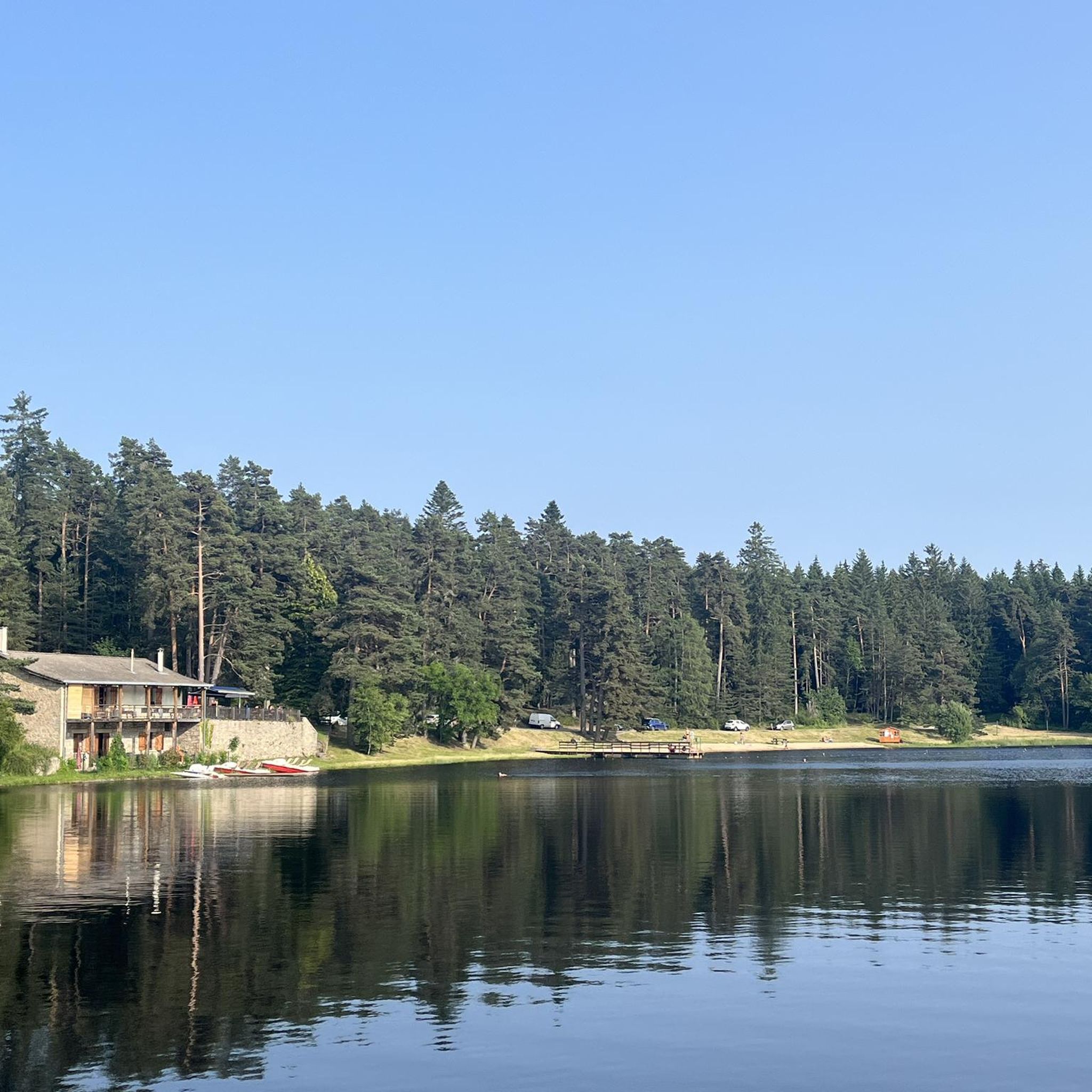
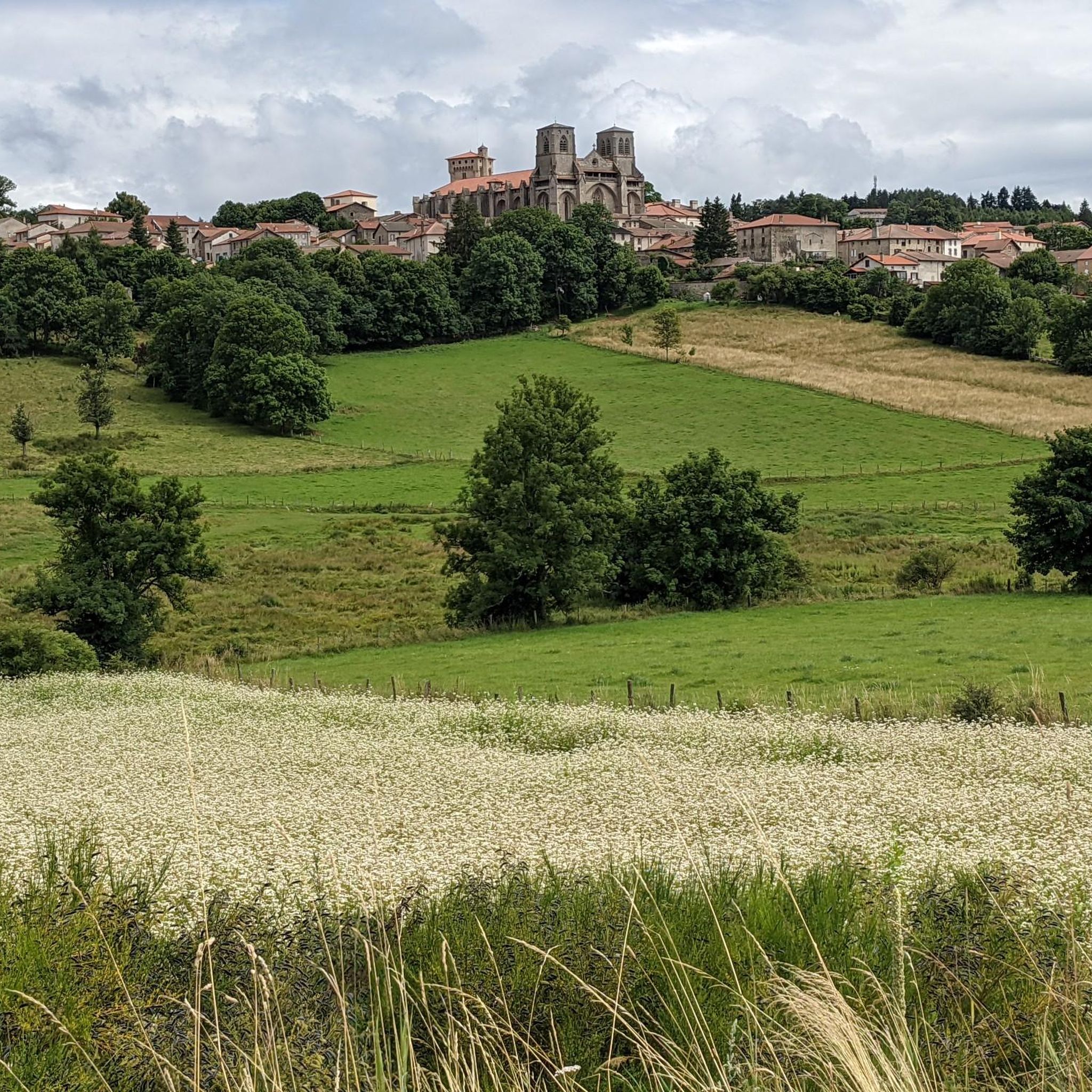
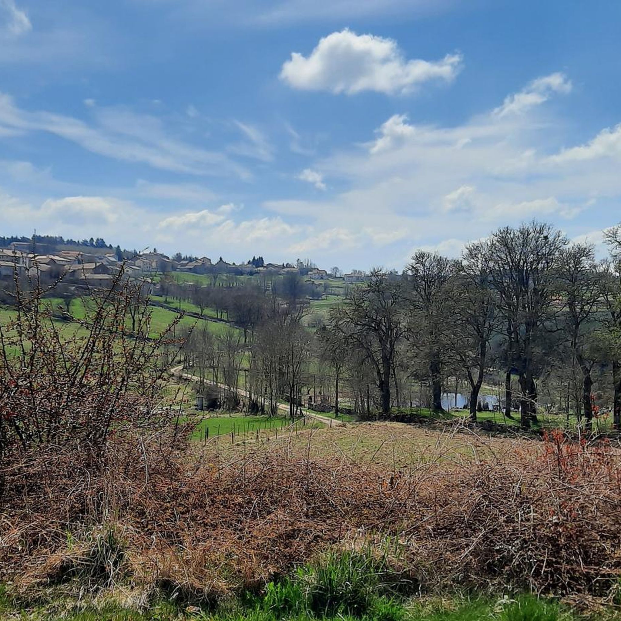

Tips from the Community

A breathtaking view of the Forez Mountains. A site that's well worth the effort...
0
0

Reserved for users of ravine paths with stones.
0
0

A breathtaking view that is worth the effort and wild landscapes! What a natural spectacle, wow! Undeniably one of the places not to be missed in Auvergne.
1
0

The view is superb, the surrounding paths are great!
0
0


The Col des Pradeaux which I have climbed several times since my installation in Ambert. A must with the Col des Supeyres.
0
0

The Col de la Dételée is 18.85 km long with a total drop of 606 m. The average gradient is 3.2% with maximum gradients of 9%.
1
0
The Saint-Jean church is a catholic church in Ambert. It was built between 1471 and 1518. It is classified as a historical monument.
2
0
Frequently Asked Questions
How many road cycling routes are available around Mayres?
There are over 80 road cycling routes around Mayres, offering a diverse range of experiences. These routes are highly rated by the komoot community, with an average score of 4.8 stars.
Are there road cycling routes suitable for beginners or families in Mayres?
While many routes in Mayres feature challenging mountainous terrain, the region also offers gentler options. For a more relaxed experience, consider exploring 'Voies Vertes' (greenways) like the Dolce Via, a 90 km route along a former railway line, which provides safe cycling opportunities through dramatic landscapes with easier gradients. You can find more information about the Dolce Via on France Vélo Tourisme.
What kind of terrain can I expect on road cycling routes near Mayres?
Road cycling around Mayres is characterized by mountainous terrain, significant elevation changes, and diverse landscapes. You'll encounter volcanic formations, river valleys, and numerous mountain passes, offering both demanding climbs and exhilarating descents. Routes often feature well-paved surfaces, winding through the Ardèche Valley and the Monts d'Ardèche Regional Natural Park.
What are some notable viewpoints or scenic spots along the road cycling routes?
The routes around Mayres are renowned for their breathtaking vistas. You can enjoy expansive views of the Ardèche Valley, particularly near La Souche, with lush, wooded slopes. Mountain passes like the Col de Meyrand offer spectacular panoramas over the Monts d'Ardèche Regional Natural Park, extending as far as Mont Ventoux on clear days.
Are there any circular road cycling routes around Mayres?
Yes, many of the road cycling routes around Mayres are designed as loops, allowing you to start and finish in the same location. An example is the Saint-Robert Abbey Church – La Chaise-Dieu loop from Arlanc, a moderate 38.8 km trail.
What attractions can I visit along the road cycling routes in Mayres?
As you cycle, you can explore charming villages and historical sites. For instance, the Saint-Robert Abbey Church – La Chaise-Dieu loop from Arlanc passes near the historic La Chaise-Dieu Abbey Church and the village of La Chaise-Dieu. Other points of interest include the Issandolanges Ruins.
What is the best season for road biking in Mayres?
The Ardèche region, including Mayres, is popular for cycling from spring through autumn. The L'Ardéchoise event, a premier mountain road cycling event, takes place annually, typically in June, highlighting the suitability of this period. Spring and early autumn offer pleasant temperatures, while summer can be warm, especially on climbs.
Are there challenging routes for experienced road cyclists?
Absolutely. Mayres is known for its challenging routes with significant elevation gains, catering to riders with good to very good fitness levels. Routes often incorporate famous passes like Col de La Croix de Millet, Col de Meyrand, and Col de la Croix de Bauzon. The Ambert – Col des Pradeaux loop from Arlanc is a difficult 64.1 km path with demanding climbs.
Where can I find refreshments or cafes along the routes?
The Ardèche region emphasizes cyclotourism, with many small towns and villages retaining traditional charm. These often offer places for rest and refreshment. Planning your route with komoot can help you identify towns and villages where you can find cafes or shops to refuel.
What should I bring for road cycling in Mayres?
Given the mountainous terrain and potential for varying weather, it's advisable to bring appropriate cycling gear, including layers of clothing, a helmet, water bottles, and nutrition. A repair kit and spare inner tubes are also essential. For longer, more challenging routes, ensure you have sufficient hydration and energy supplies.
How long do road cycling routes typically take in Mayres?
Route durations vary significantly based on distance, elevation, and your fitness level. For example, a moderate route like the Saint-Germain-l'Herm Church – Col de la Dételée loop from Issandolangettes (52.3 km) can take around 2 hours 29 minutes, while longer, more difficult routes can extend to several hours.
What is the longest road cycling route available around Mayres?
One of the longer and more challenging routes is the Béal Pass – Col de Baracuchet (1267 m) loop from Arlanc, which spans approximately 129.7 km and features over 2,400 meters of elevation gain, typically requiring a full day of cycling.
Most popular attractions around Mayres

Get inspired with the komoot mobile app


Explore more
Browse the best Road cycling routes in other regions.
