The best walks and hikes around Le Brugeron
4.5
(418)
2,488
hikers
11
hikes
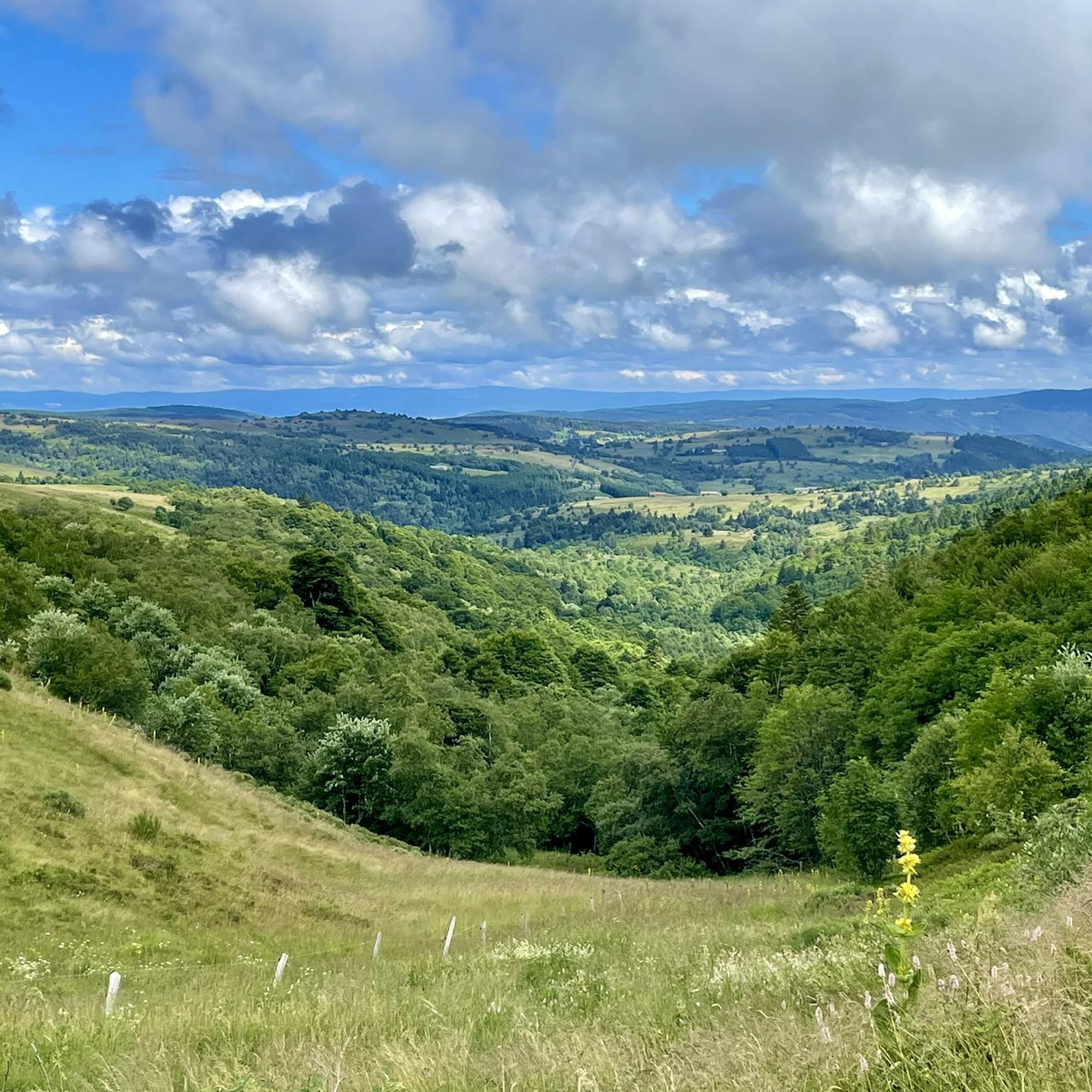
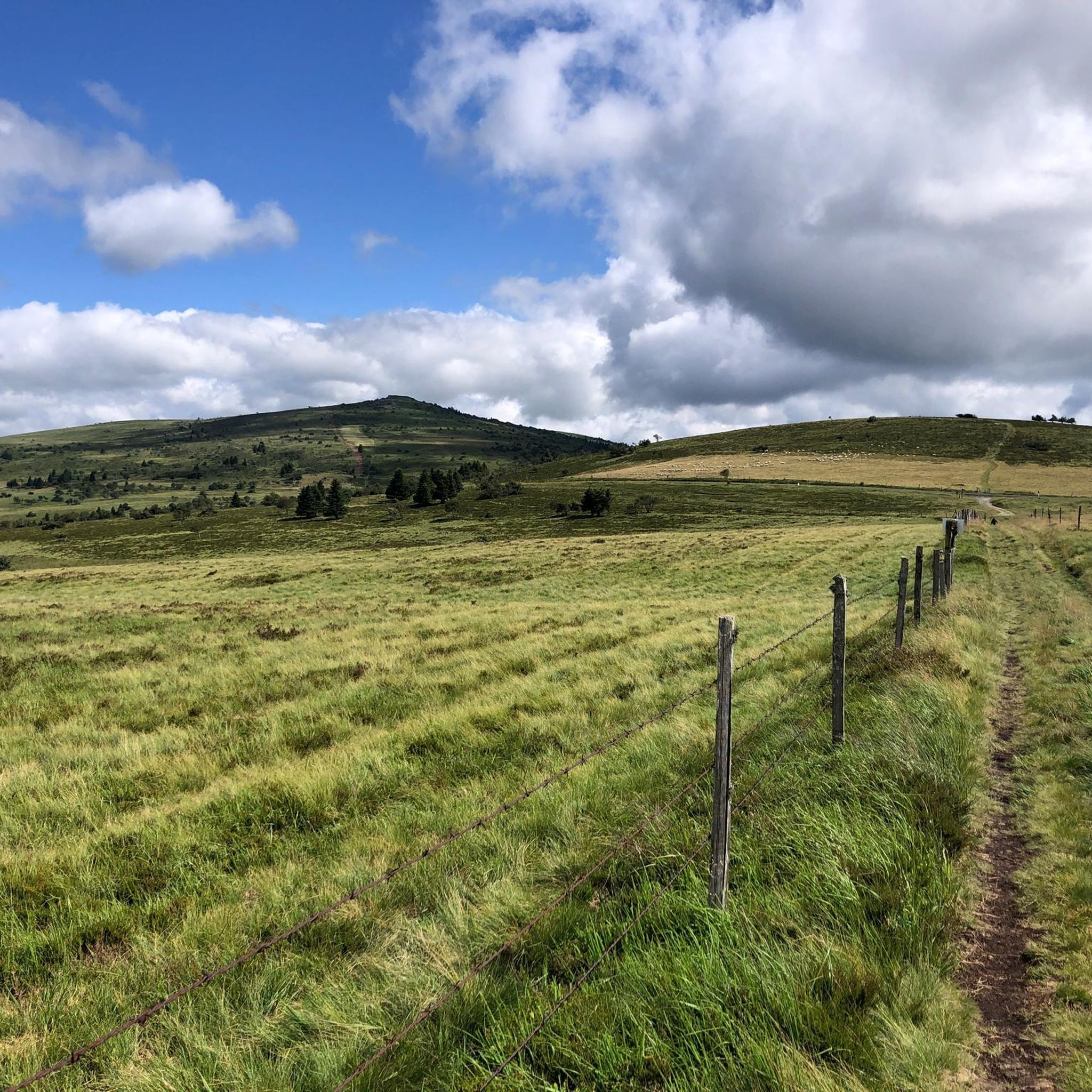
Hiking around Le Brugeron offers diverse terrain within the Puy-de-Dôme department of France's Auvergne-Rhône-Alpes region. The area is situated on the slopes of the Forez mountains, with elevations ranging from 671 to 1427 meters. Dense beech and conifer forests cover a significant portion of the commune, complemented by high-altitude plateaus known as "Hautes-Chaumes" and valleys traversed by streams like La Faye and Gerize. Le Brugeron is an integral part of the Livradois-Forez Regional Natural Park, providing a preserved environment for…
Last updated: October 14, 2026
4.0
(1)
14
hikers
16.5km
05:02
600m
600m
Hard hike. Very good fitness required. Easily-accessible paths. Suitable for all skill levels.
4.1
(7)
13
hikers
4.84km
01:31
200m
200m
Easy hike. Great for any fitness level. Easily-accessible paths. Suitable for all skill levels.

4.8
(4)
7
hikers
11.4km
03:26
360m
360m
Moderate hike. Good fitness required. Easily-accessible paths. Suitable for all skill levels.
4.7
(3)
8
hikers
7.06km
02:12
270m
270m
Moderate hike. Good fitness required. Easily-accessible paths. Suitable for all skill levels.
5.0
(1)
5
hikers
13.4km
03:53
350m
350m
Moderate hike. Good fitness required. Easily-accessible paths. Suitable for all skill levels.
Get access to more routes and recommendations from other explorers.
Already have an account?
Our route recommendations are based on thousands of hikes, rides, and runs completed by other people on komoot.
Start today with a free account
Your next adventure awaits.
Tips from the Community

This path lives up to its name, especially in spring when the meadows it crosses are adorned with their most beautiful colors.
0
0

A breathtaking view that is worth the effort and wild landscapes! What a natural spectacle, wow! Undeniably one of the places not to be missed in Auvergne.
1
0
Charming mountain village with a lovely view of the surrounding hills.
0
0

Magnificent pass on the Forez plateau
3
0

A nice training pass for big passes. You can enjoy beautiful views in the terminal part. On the Chalmazel side we stay for a long time in the forest with a very grainy road. Even in spring we feel that the climate is harsh with a drop in temperature as soon as we go up in altitude. Do not hesitate to climb to Pierre sur Haute to enjoy even more and extend the pleasure of the climb a little!
1
0

Very beautiful place beautiful walk superb magnificent view
4
0

A long, gentle and comfortable climb with the heather as a welcome in the last kilometers. And especially a tiramisu or a blueberry pie on the neck!
0
0

The striking beauty of the landscape between the Loire and Auvergne, the fresh air of the high altitude, the cuisine of the numerous Auberges in the vicinity, all the hiking and biking options... Everything make a perfect destination in this less known part of France.
7
0
Frequently Asked Questions
How many hiking trails are available around Le Brugeron?
Le Brugeron offers over a dozen hiking trails, catering to various skill levels. You'll find options ranging from easy strolls to more challenging routes through the Forez mountains.
Are there easy hiking routes suitable for beginners or families?
Yes, there are 3 easy routes around Le Brugeron. A great option for a gentle walk is the Cooling in the water loop from Le Brugeron, which is 3.0 miles (4.8 km) long and takes about 1 hour 30 minutes through wooded areas.
Can I find circular hiking routes in Le Brugeron?
Many of the trails around Le Brugeron are designed as loops, allowing you to start and end in the same location. For example, the popular The Brugeron Tour loop from Le Brugeron is a 9.9-mile (16.0 km) route exploring diverse mountain landscapes.
What kind of terrain can I expect on hikes around Le Brugeron?
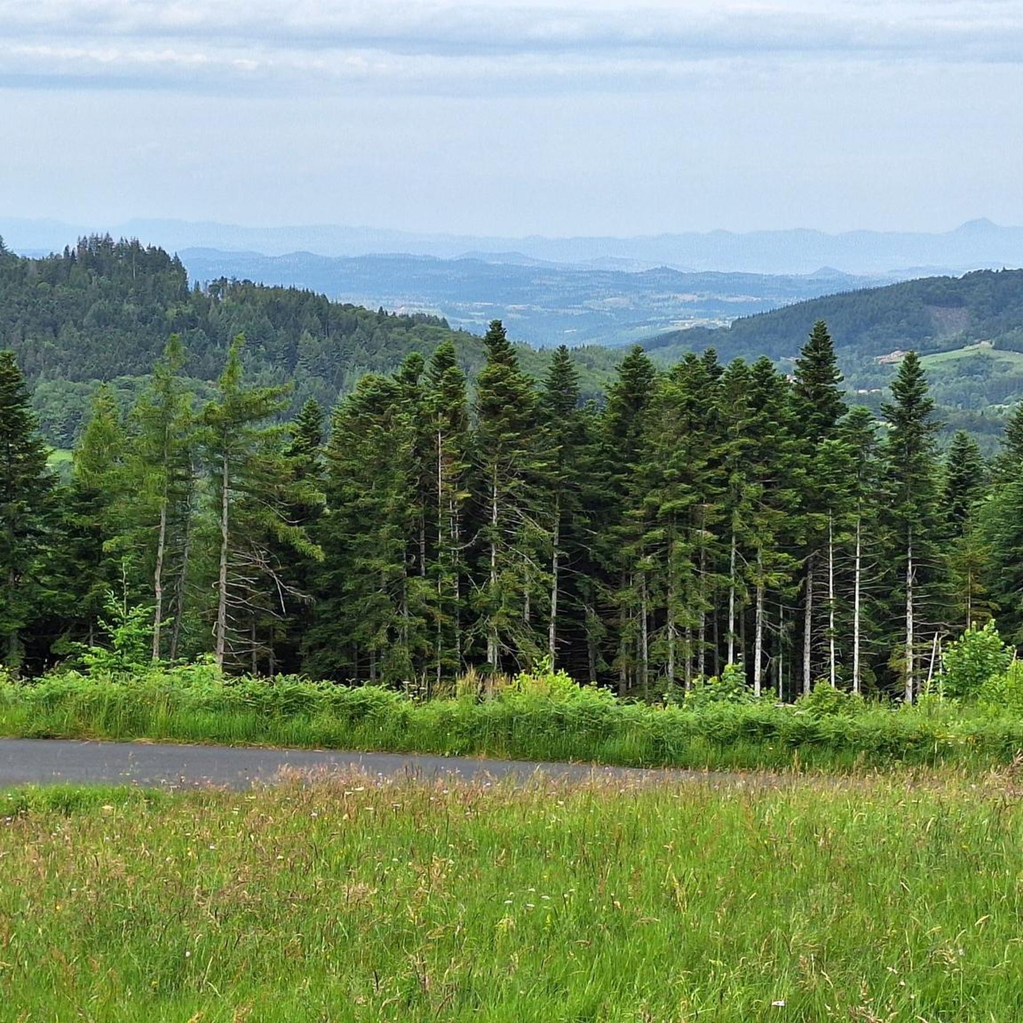
The terrain around Le Brugeron is quite varied, situated on the slopes of the Forez mountains. You'll encounter dense beech and conifer forests, high-altitude plateaus known as "Hautes-Chaumes," and valleys with streams like La Faye and Gerize. Elevations range significantly, offering diverse landscapes from gentle paths to more challenging ascents.
Are there any notable natural landmarks or viewpoints to see while hiking?
Absolutely. The region is rich in natural beauty. A significant natural attraction is the Béal Pass, which at 1390 meters, offers breathtaking vistas and is a popular starting point for excursions. Other highlights include Pierre Pamole and Grün de Chignore Summit, both offering panoramic views.
What do other hikers enjoy most about the trails in Le Brugeron?
The trails in Le Brugeron are highly rated by the komoot community, with an average score of 4.6 stars from over 300 reviews. Hikers often praise the diverse landscapes, from dense forests to high-altitude pastures, and the well-maintained network of paths suitable for various abilities.
Is Le Brugeron part of a natural park?
Yes, Le Brugeron is an integral part of the Livradois-Forez Regional Natural Park. This designation ensures a preserved environment and rich biodiversity, making it an excellent destination for exploring unspoiled nature.
Are there any trails that pass by water features like lakes or streams?
Yes, the area is traversed by streams like La Faye and Gerize, descending from the Forézian mountains, adding to the natural beauty of many routes. You can also find the nearby Lake Aubusson, which is a lovely spot to visit.
What is the best time of year to go hiking in Le Brugeron?
Le Brugeron offers hiking opportunities throughout much of the year. Spring and autumn provide pleasant temperatures and beautiful foliage. During winter, the higher altitudes, such as around Col du Béal, can be suitable for cross-country skiing, but hikers should be prepared for colder conditions and potential snow.
Are there any longer, more challenging hikes for experienced trekkers?
Yes, for experienced trekkers, there are more challenging routes. The region features 1 difficult trail and 10 moderate trails. The The Brugeron Tour loop from Le Brugeron, at 9.9 miles (16.0 km) with over 600 meters of elevation gain, is a good example of a moderate route that offers a substantial challenge.
What other outdoor activities are popular in the Le Brugeron area besides hiking?
Beyond hiking, the diverse landscape around Le Brugeron supports a range of other outdoor activities. These include mountain biking and cycling, especially from spots like Col du Béal. In winter, cross-country skiing is popular, and unique experiences like dog sledding are also available.
Are there any specific routes that offer a good mix of forest and open views?
Many routes in Le Brugeron traverse both dense forests and open areas. The Béal Pass loop from Camelot is a great example, leading through high-altitude pastures and offering expansive views near Col du Béal, while also passing through forested sections.
Most popular attractions around Le Brugeron

Get inspired with the komoot mobile app


Explore more
Browse the best Hikes in other regions.
