The best walks and hikes around Saint-Launeuc
4.3
(15)
48
hikers
18
hikes
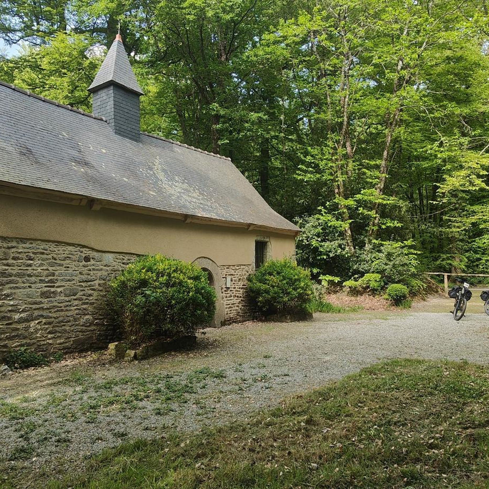
Hiking around Saint-Launeuc offers diverse landscapes, characterized by majestic forests, serene ponds, and picturesque villages. The region is situated within the Hardouinais forest massif, providing a natural environment for exploration. A prominent natural feature is the Étang de la Hardouinais, an artificial lake that serves as a focal point for recreational activities. The nearby Source-Rance also adds to the area's natural appeal.
Best hiking trails around Saint-Launeuc
- The most popular hiking route is Megalith du Perfaux A – Menhir du…
Last updated: July 2, 2026
5.0
(1)
10
hikers
12.5km
03:21
150m
150m
Moderate hike. Good fitness required. Easily-accessible paths. Suitable for all skill levels.
4.0
(2)
7
hikers
10.0km
02:39
90m
90m
Moderate hike. Good fitness required. Easily-accessible paths. Suitable for all skill levels.

Sign up for free
4.0
(2)
3
hikers
3.42km
00:53
20m
20m
Easy hike. Great for any fitness level. Easily-accessible paths. Suitable for all skill levels.
4.0
(3)
3
hikers
11.7km
03:03
70m
70m
Moderate hike. Good fitness required. Easily-accessible paths. Suitable for all skill levels.
5.0
(1)
6
hikers
12.8km
03:25
140m
140m
Moderate hike. Good fitness required. Easily-accessible paths. Suitable for all skill levels.
Get access to more routes and recommendations from other explorers.
Sign up for free
Already have an account?
Our route recommendations are based on thousands of hikes, rides, and runs completed by other people on komoot.
Start today with a free account
Your next adventure awaits.
Login or Signup


Tips from the Community

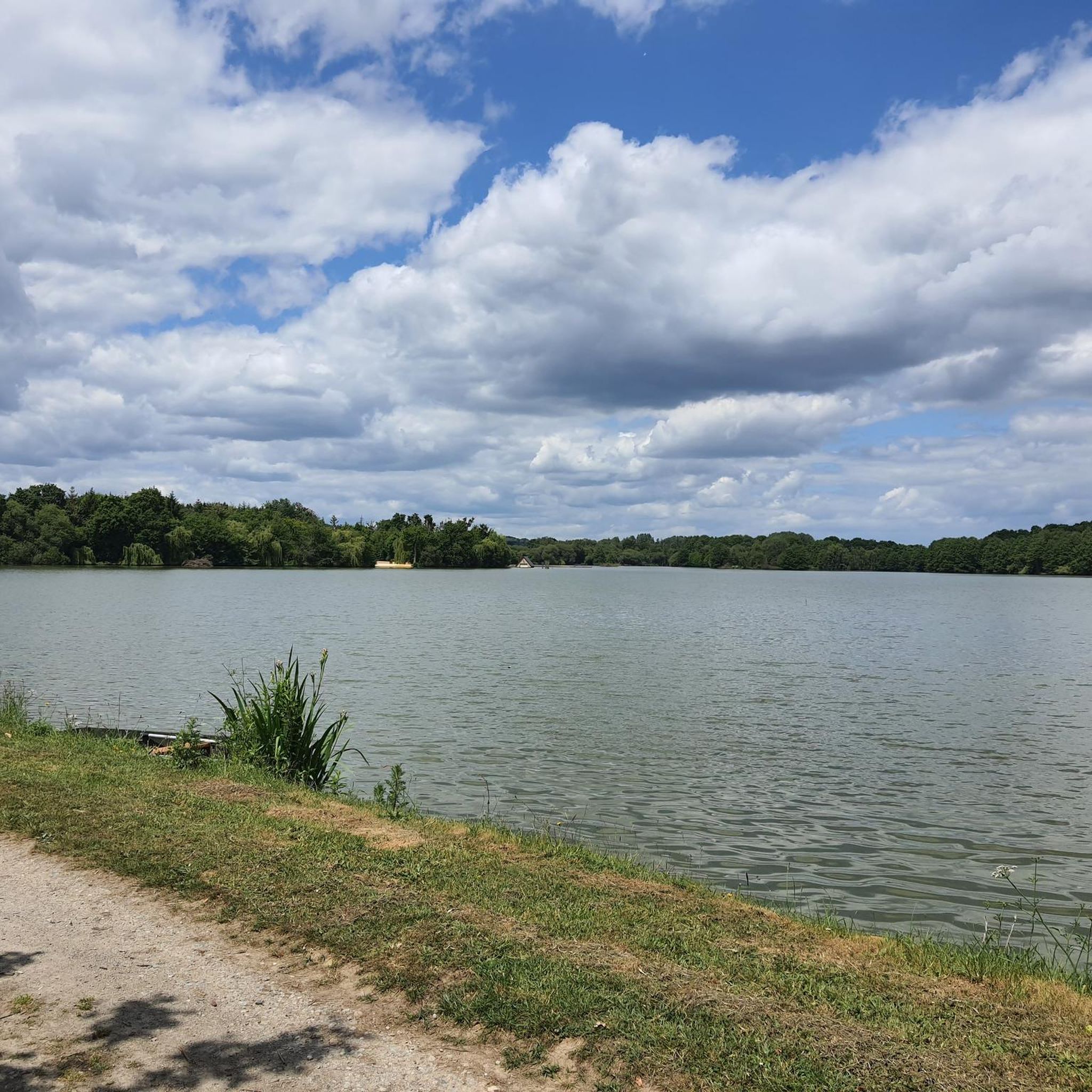
Fishabil Lake was created in 1989 by Raphaël Faraggi. The Fishabil European Specimen Fishing Center is today the leading fishing center in the world by the number of its customers, the quality and size of the livestock and the importance of the infrastructure offered. The record is a mirror carp weighing 34 kilos. Note the presence of a huge catfish weighing 111 kilos! All the biggest carp, stroke and match competitions have been organized there and 8 world records have been approved by the International Sport Fishing Federation. (https://www.colinmaire.net/)
0
0
Frequently Asked Questions
How many hiking trails are available around Saint-Launeuc?
There are over 15 hiking routes around Saint-Launeuc documented on komoot. These trails offer a variety of experiences, from easy strolls around local ponds to more moderate explorations of the surrounding forests and countryside.
What is the best time of year to go hiking in Saint-Launeuc?
The region of Saint-Launeuc, with its diverse landscapes of forests and ponds, is enjoyable for hiking throughout much of the year. Spring and autumn offer pleasant temperatures and beautiful scenery, while summer is ideal for combining hikes with water activities at the Étang de la Hardouinais. Even winter can be suitable for a crisp walk, though some paths might be muddy.
Are there any easy or family-friendly hiking options in Saint-Launeuc?
Yes, Saint-Launeuc offers several easy routes suitable for families. An excellent option is the Étang de la Hardouinais loop from Saint-Launeuc, which is 2.1 miles (3.4 km) long and takes less than an hour to complete. This trail is relatively flat and offers scenic views of the lake, making it ideal for a relaxed outing.
Can I bring my dog on the hiking trails in Saint-Launeuc?
Many trails in the Saint-Launeuc area are dog-friendly, allowing you to explore the natural beauty with your canine companion. It's always recommended to keep your dog on a leash, especially in forested areas or near livestock, and to follow local regulations regarding pet waste. Specific rules may vary by trail, so checking individual route details on komoot is advisable.
Are there any circular walks available in the Saint-Launeuc area?
Yes, many of the hiking routes around Saint-Launeuc are designed as circular walks, allowing you to start and end at the same point without retracing your steps. Examples include the Megalith du Perfaux A – Menhir du Perfaux B loop from Saint-Vran and the Old Merdrignac station loop from Merdrignac, both offering diverse scenery.
What natural features or landmarks can I expect to see while hiking in Saint-Launeuc?
Hikers in Saint-Launeuc can enjoy a variety of natural and historical sights. The prominent Étang de la Hardouinais is a focal point for many trails, offering serene lake views. The region is also part of the Hardouinais forest massif, providing lush woodland experiences. Further afield, the legendary Forêt de Paimpont (Brocéliande forest) and the Source-Rance are significant natural attractions.
What do other hikers enjoy most about hiking in Saint-Launeuc?
The hiking routes in Saint-Launeuc are highly rated by the komoot community, with an average score of 4.4 stars from more than 10 reviews. Hikers often praise the peaceful atmosphere of the forests and ponds, the well-maintained paths, and the opportunity to discover both natural beauty and local heritage, such as the megalithic sites.
Is public transport available to reach hiking trailheads in Saint-Launeuc?
Public transport options directly to specific trailheads in Saint-Launeuc can be limited, as is common in more rural areas of Brittany. It is generally recommended to travel by car to access the starting points of most hiking routes. However, local bus services might connect Saint-Launeuc to larger towns, from which you could potentially arrange further transport.
Where can I find parking for hiking trails in Saint-Launeuc?
Parking is typically available near the starting points of popular trails and in the village centers. For example, the 'Circuit de la Forge' trail, which passes through Saint-Launeuc and around the Étang de la Hardouinais, usually has designated parking areas within the village or close to the lake. Always look for local signage or check route descriptions on komoot for specific parking recommendations.
Are there any cafes or places to eat near the hiking trails in Saint-Launeuc?
Saint-Launeuc, though a smaller village, offers some local amenities. You can often find cafes or small eateries in the village center where you can refuel before or after your hike. For a wider selection, nearby towns like Merdrignac or Loudéac would provide more options for dining and accommodation.
Are hiking permits required for trails in Côtes-d'Armor or Saint-Launeuc?
Generally, hiking permits are not required for accessing the public footpaths and trails in the Côtes-d'Armor department, including those around Saint-Launeuc. The trails are typically open for public use. However, always respect private property and any specific signage you may encounter on your route.
What kind of terrain can I expect on hikes around Saint-Launeuc?
The terrain around Saint-Launeuc is varied, characterized by gentle rolling hills, dense forests, and the flat shores around ponds like the Étang de la Hardouinais. You can expect well-maintained paths, often unpaved, through woodlands and rural landscapes. The routes are generally considered easy to moderate, with no difficult climbs.

Get inspired with the komoot mobile app


Explore more
Browse the best Hikes in other regions.
