The best road cycling routes around Ceillac
4.6
(630)
25,323
riders
72
rides
Road cycling routes around Ceillac are situated within the Queyras Regional Nature Park, offering a mountainous terrain characterized by deep gorges, alpine valleys, and significant elevation changes. The region features challenging climbs and scenic roads that wind through larch forests and past high-altitude peaks. Cyclists can expect varied landscapes, from the narrow Combe du Queyras to open mountain passes, providing a rewarding experience for road cyclists.
Best road cycling routes around Ceillac
- The most popular road cycling route is Loop…
Last updated: October 18, 2026
4.5
(22)
802
riders
61.7km
04:05
1,980m
1,980m
Hard road ride. Very good fitness required. Mostly well-paved surfaces and easy to ride.
4.0
(4)
233
riders
34.7km
02:19
1,110m
1,110m
Hard road ride. Very good fitness required. Mostly well-paved surfaces and easy to ride.

5.0
(4)
98
riders
33.3km
02:09
970m
970m
Hard road ride. Very good fitness required. Mostly well-paved surfaces and easy to ride.
5.0
(6)
166
riders
71.6km
04:11
1,750m
1,750m
Hard road ride. Very good fitness required. Mostly well-paved surfaces and easy to ride.
3.0
(1)
57
riders
55.9km
03:42
1,790m
1,790m
Hard road ride. Very good fitness required. Mostly well-paved surfaces and easy to ride.
Get access to more routes and recommendations from other explorers.
Already have an account?
Our route recommendations are based on thousands of hikes, rides, and runs completed by other people on komoot.
Start today with a free account
Your next adventure awaits.

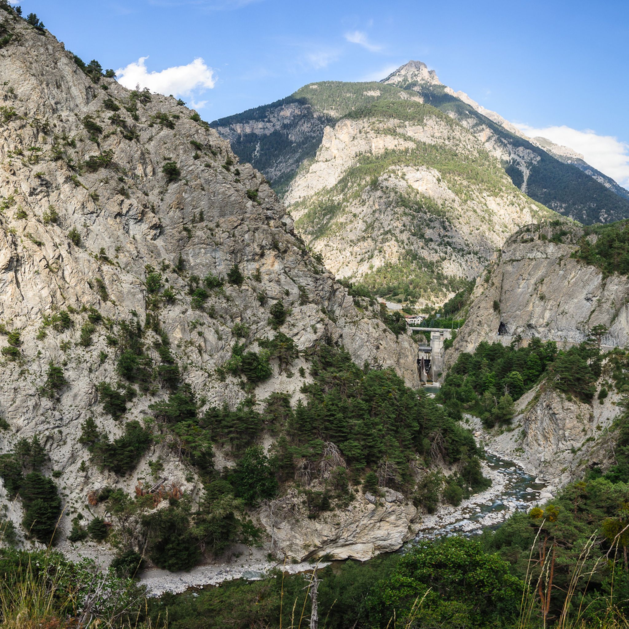
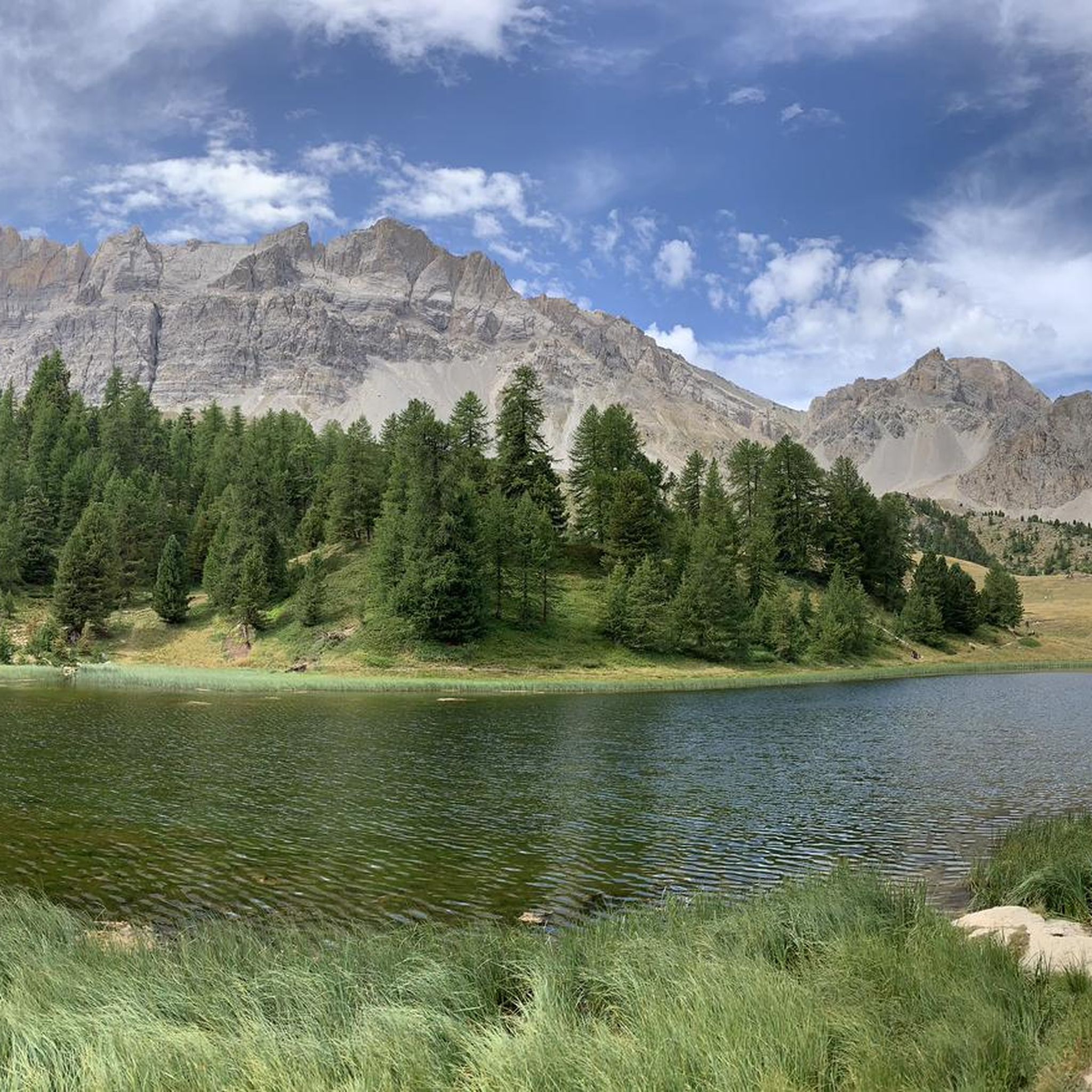
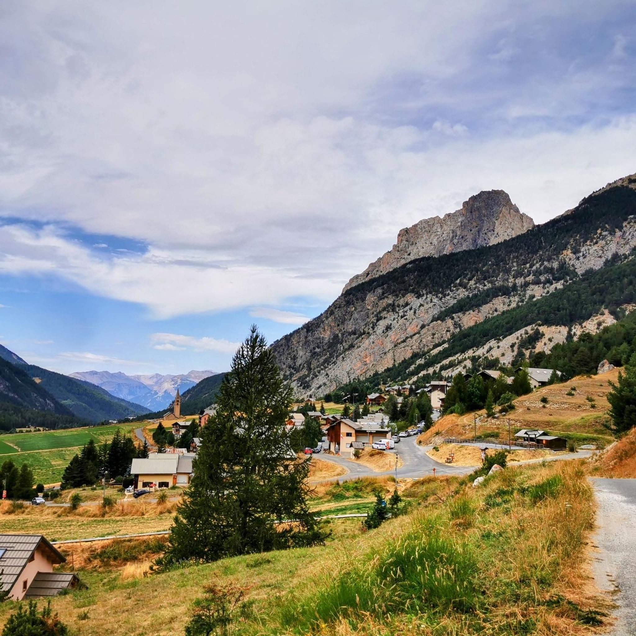
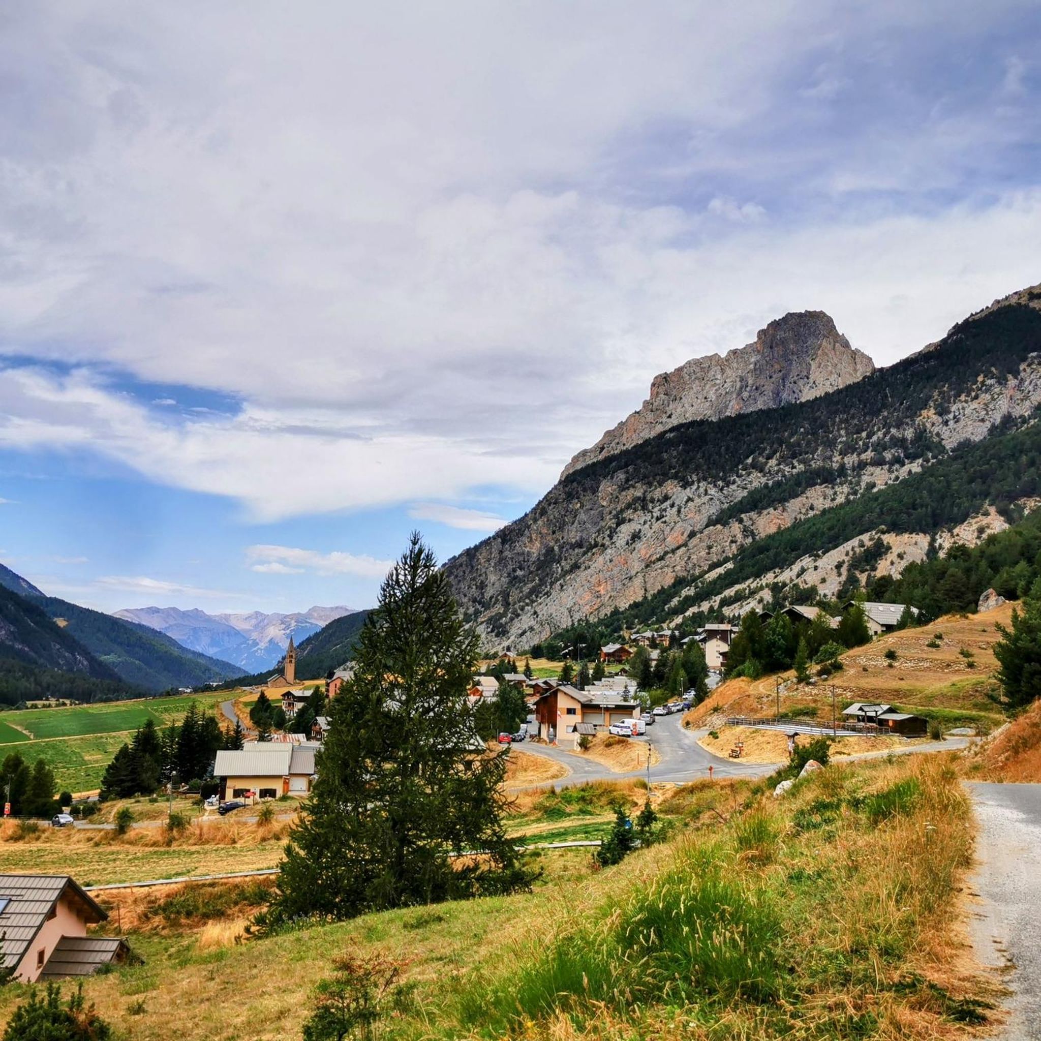

Other adventures around Ceillac

Tips from the Community

The Castello di Château-Queyras (officially known as Fort Queyras) is a splendid medieval fortified castle located in the municipality of Château-Ville-Vieille, in the heart of the Queyras Regional Natural Park (Hautes-Alpes department, France). Situated at an altitude of 1,427 meters on a rocky outcrop overlooking the picturesque Guil valley, it holds the title of the highest medieval castle in France and is considered one of the country's best-preserved examples of alpine fortification.
0
0

The Col d’Izoard is an Alpine pass located in the French Alps, in the Hautes-Alpes department, at an altitude of about 2,360 meters. It connects the Guisane valley (towards Briançon) to the Queyras valley (towards Château-Ville-Vieille).
10
0
Inside this small village you can find bars and fountains where you can refresh yourself.
16
0

There are some tunnels, better to have lights on the bikes
0
0

Arvieux, a beautiful village on the way to or from IZOARD, worth a visit 🎨
6
1
Once you reach the top of this long climb you can enjoy the beauty of Risoul and its landscapes.
4
0
A magnificent castle.
16
0
Frequently Asked Questions
What kind of terrain can I expect on road cycling routes around Ceillac?
Road cycling around Ceillac, nestled in the Queyras Regional Nature Park, offers a diverse and challenging mountainous terrain. You'll encounter deep gorges, alpine valleys, and significant elevation changes. Routes often wind through magnificent larch forests and past high-altitude peaks, providing varied landscapes from narrow combes to open mountain passes.
How many road cycling routes are available in the Ceillac area?
There are over 60 road cycling routes available around Ceillac, catering to various skill levels. This includes 8 easy routes, 31 moderate routes, and 29 difficult routes, ensuring options for every cyclist.
Are there any challenging climbs for experienced road cyclists in Ceillac?
Yes, Ceillac is known for its challenging climbs. The 'Montée de Ceillac' itself is a significant ascent, and the region offers iconic mountain passes like the Col de l'Izoard and Col de Vars. Routes such as Loop 3: Col de l'Izoard via Case Déserte – Queyras Mountains and Gorges du Guil – Col de Vars loop from Ceillac feature substantial elevation gains and are rated as difficult.
What are some scenic natural features or landmarks I can see while road cycling in Ceillac?
The Ceillac region is rich in natural beauty. You can cycle past impressive features like the dramatic Gorges of the Guil. Higher routes offer panoramic views, sometimes even glimpses of Mont Blanc. The area is also known for its picturesque high-altitude lakes, such as Mirror Lake and Lake Sainte-Anne, which are popular hiking destinations nearby.
Are there any moderate road cycling routes suitable for those looking for a less strenuous ride?
Absolutely. While Ceillac is known for its challenging climbs, there are plenty of moderate options. For instance, Loop 1: The Durance balconies – Queyras Mountains is a popular moderate route offering panoramic views of the Durance valley with a more accessible elevation profile. There are 31 moderate routes in total to choose from.
What do other road cyclists say about the routes in Ceillac?
The road cycling routes in Ceillac are highly regarded by the komoot community, holding an impressive average rating of 4.6 stars from over 400 reviews. More than 21,000 road cyclists have explored the varied terrain, often praising the stunning alpine scenery, well-paved surfaces, and the rewarding challenge of the mountain passes.
When is the best time of year for road cycling in Ceillac?
The best time for road cycling in Ceillac is typically during the warmer months, from late spring to early autumn, when mountain passes are clear of snow and weather conditions are most favorable. This allows full access to the high-altitude routes and iconic climbs. Outside of these months, some higher passes may be closed due to snow.
Are there any road cycling routes that are circular or loop trails?
Yes, many of the road cycling routes around Ceillac are designed as loops, allowing you to start and finish in the same location. Examples include Loop 3: Col de l'Izoard via Case Déserte – Queyras Mountains and Gorges du Guil – Col de Vars loop from Ceillac, which offer comprehensive tours of the region's highlights.
Can I find cafes or accommodation suitable for cyclists in Ceillac?
Ceillac, as a popular outdoor destination, offers various amenities for visitors. You can find cafes and accommodation options within the village that cater to cyclists and other outdoor enthusiasts, providing places to refuel and rest after your rides. The village serves as an excellent base for exploring the surrounding mountainous terrain.
What are the options for parking when road cycling in Ceillac?
Ceillac, being a village within a regional nature park, typically offers designated parking areas for visitors. It's advisable to check local signage upon arrival for specific parking locations suitable for accessing the road cycling routes, especially near the village center or trailheads.
Are there any routes that pass through the famous Combe du Queyras?
Yes, the spectacular Combe du Queyras, a deep gorge northeast of Guillestre, is a notable feature in the region. Many routes that approach Ceillac or explore the wider Queyras area will likely include sections of this narrow, winding road (D60), offering beautiful views of the mountain river and dramatic scenery.
Most popular routes around Ceillac
Most popular attractions around Ceillac

Get inspired with the komoot mobile app


Explore more
Browse the best Road cycling routes in other regions.
