The best walks and hikes around Mont-Dauphin
4.6
(605)
5,571
hikers
11
hikes
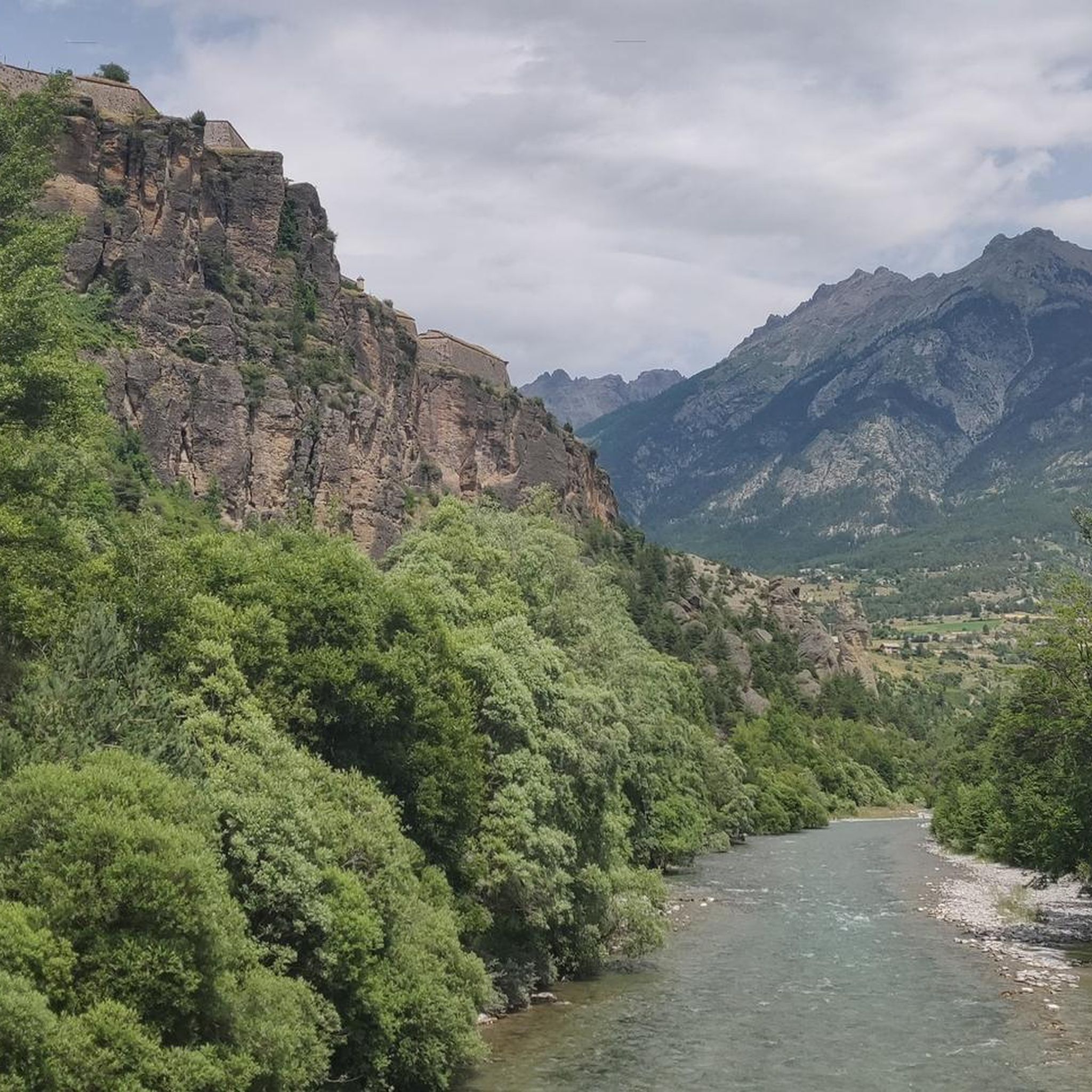
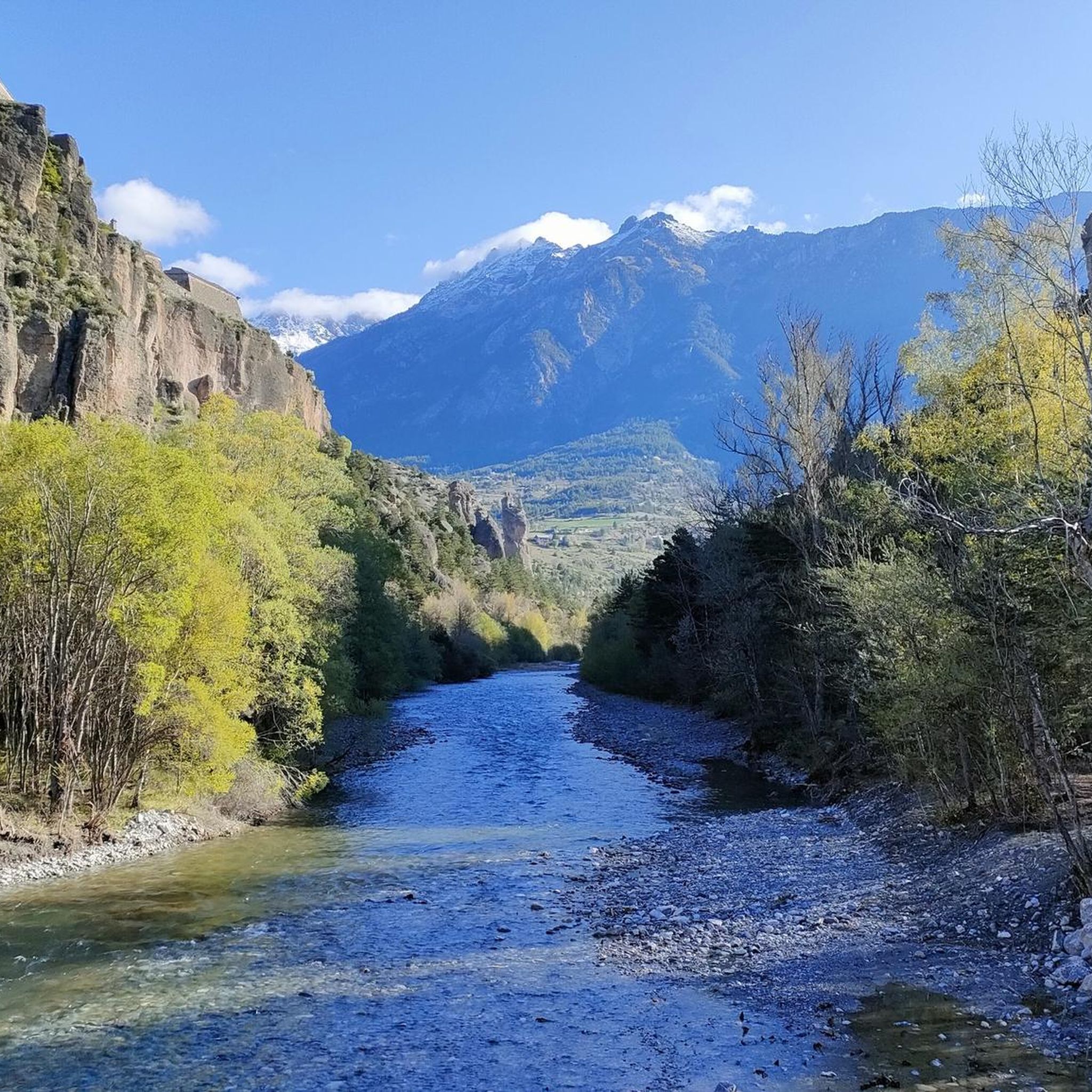
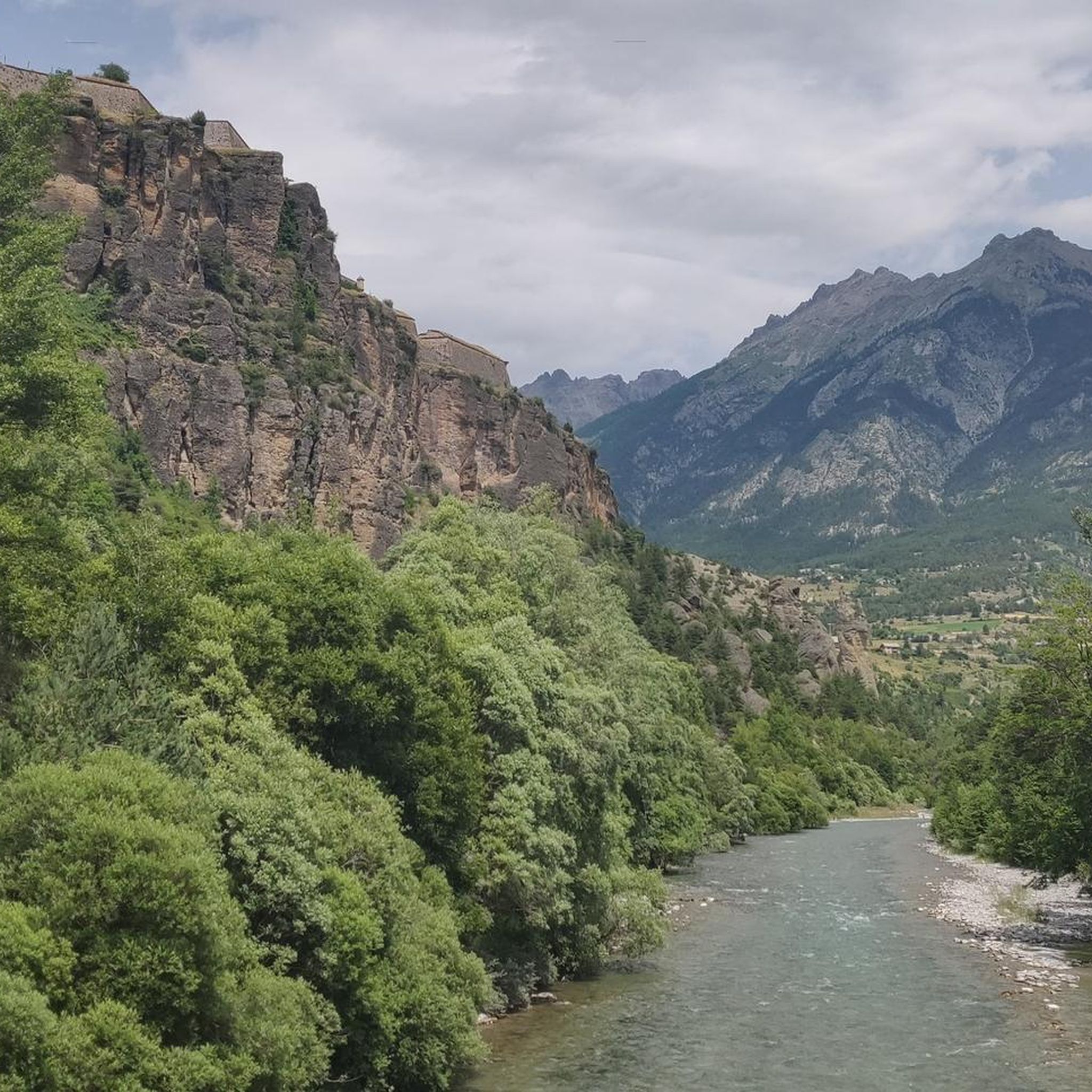
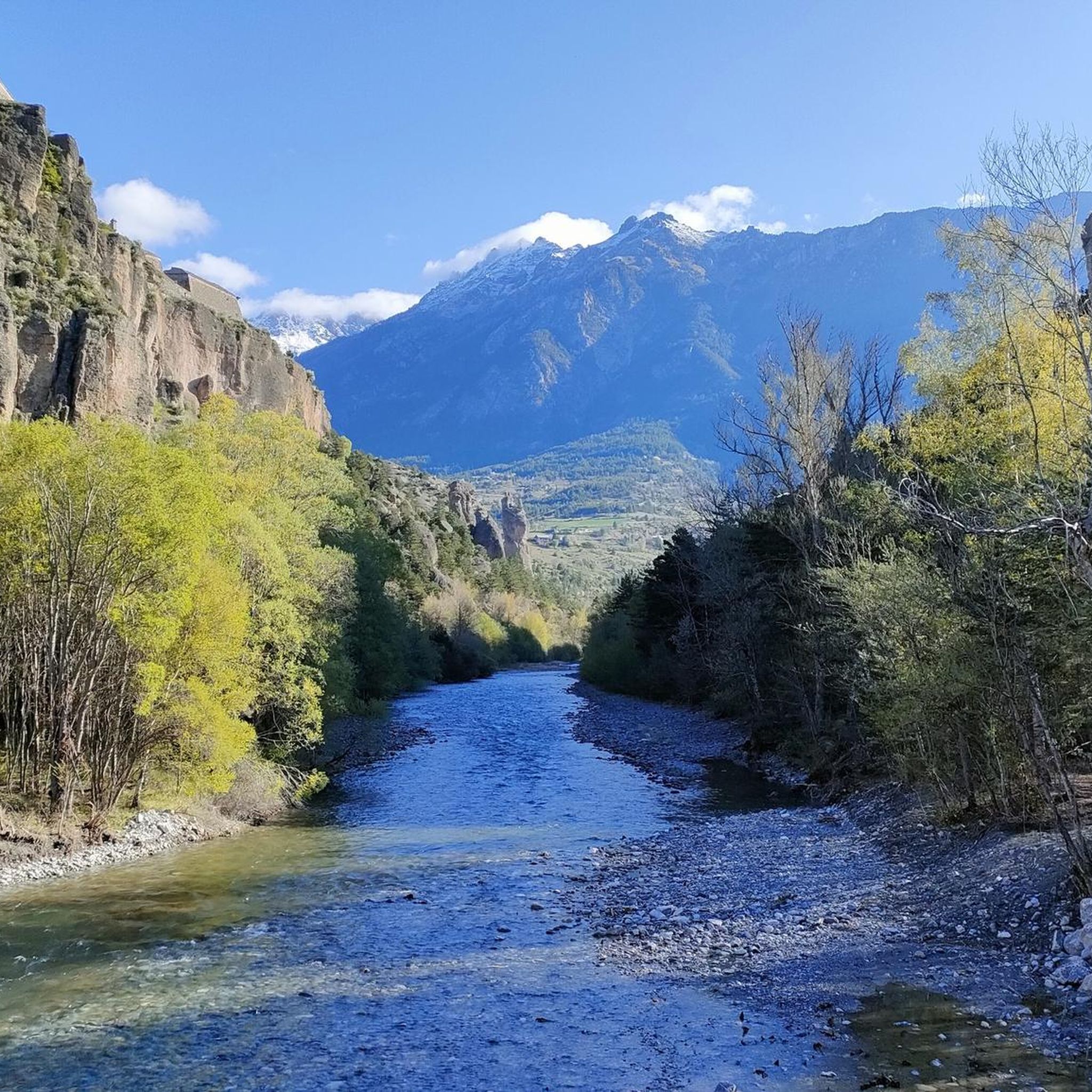
Hiking around Mont-Dauphin offers routes through a landscape characterized by a rocky plateau overlooking the confluence of the Guil and Durance rivers. The area provides panoramic views of the surrounding mountainous terrain, including the Queyras mountains. The fortified village itself, a UNESCO World Heritage site, is built from distinctive pink marble, adding to the visual features of the trails. This region combines historical significance with diverse natural elements, making it suitable for various hiking experiences.
Best hiking trails around Mont-Dauphin
…Last updated: June 25, 2026
4.4
(15)
52
hikers
7.04km
02:02
170m
170m
Moderate hike. Good fitness required. Mostly accessible paths. Sure-footedness required.
4.5
(12)
92
hikers
8.26km
02:25
210m
210m
Moderate hike. Good fitness required. Easily-accessible paths. Suitable for all skill levels.

Sign up for free
5.0
(7)
100
hikers
4.15km
01:18
160m
160m
Easy hike. Great for any fitness level. Easily-accessible paths. Suitable for all skill levels.
4.8
(5)
96
hikers
5.26km
01:38
160m
160m
Moderate hike. Great for any fitness level. Mostly accessible paths. Sure-footedness required.
4.0
(1)
12
hikers
12.5km
04:19
490m
490m
Hard hike. Good fitness required. Sure-footedness, sturdy shoes and alpine experience required.
Get access to more routes and recommendations from other explorers.
Sign up for free
Already have an account?
Our route recommendations are based on thousands of hikes, rides, and runs completed by other people on komoot.
Start today with a free account
Your next adventure awaits.
Login or Signup
Tips from the Community

Beautiful views of the Via Domizia
0
0

nice path with many climbers (via feratta)
0
0


Mont Dauphin is a historic town located in the French Alps, renowned for its Vauban Citadel, a UNESCO World Heritage Site. It offers a unique blend of cultural heritage and stunning mountain landscapes, attracting visitors seeking history and nature.
1
0
Mont Dauphin is a historic town located in the French Alps, renowned for its Vauban Citadel, a UNESCO World Heritage Site. It offers a unique blend of cultural heritage and stunning mountain landscapes, attracting visitors seeking history and nature.
0
0

Superb south-facing trail often with chamois and mouflons
0
0

Unesco heritage site, old military fort Mont Dauphin. Strategically situated with overlooks of the Guil and Durance valleys and several mountain passes.
0
0

Incredible and unobstructed view of Mont Dauphin! Typical landscape of the Hautes-Alpes, in splendor!
0
0
Frequently Asked Questions
Are there family-friendly hiking trails around Mont-Dauphin?
Yes, Mont-Dauphin offers several easy trails suitable for families. The Fort de Mont-Dauphin – Mont-Dauphin loop is an easy 4.2 km path exploring the fortified town. Another great option is the Panorama – Marmot trail loop, which is 2.4 km long and offers opportunities to spot marmots, making it particularly engaging for children.
What kind of views can I expect on hikes in Mont-Dauphin?
Hiking trails around Mont-Dauphin offer dramatic panoramic views. You can expect to see the confluence of the Guil and Durance rivers, the majestic Queyras mountains, and the glaciers of the Massif des Écrins. Many routes also provide unique perspectives of the fortified town itself, built from distinctive pink marble.
Are there any circular hiking routes available?
Yes, many of the trails around Mont-Dauphin are circular, allowing you to start and end at the same point. Examples include the Fort de Mont-Dauphin – Mont-Dauphin loop, the Panorama – Marmot trail loop, and the more challenging Mont-Dauphin – Panorama of the Guil River loop.
What are the typical durations for hikes in Mont-Dauphin?
Hike durations vary depending on the trail's length and difficulty. Easy routes like the Panorama – Marmot trail loop can be completed in under an hour. Moderate trails, such as the Bridge Over the Guil River – Le Guil loop, typically take around 2 hours. Longer, more difficult routes like the Mont-Dauphin – Panorama of the Guil River loop can take over 4 hours.
What are some notable natural features or landmarks to see while hiking?
Beyond the UNESCO World Heritage site of Mont-Dauphin itself, hikers can explore the dramatic Gorges du Guil, which offer stunning scenery. You might also discover viewpoints like The Balconies of the Durance, or unique geological formations such as La Main du Titan. The historic garden within the fortified town also showcases local biodiversity.
Is Mont-Dauphin accessible by public transport for hikers?
Mont-Dauphin is a fortified village, and while specific public transport details for trailheads aren't provided, the region is generally served by local transport options connecting to larger towns. It's advisable to check local bus schedules or train connections to Guillestre, the nearest town, and then plan your route to Mont-Dauphin.
What do other hikers enjoy most about the trails in Mont-Dauphin?
The trails in Mont-Dauphin are highly rated by the komoot community, with an average score of 4.6 stars from over 500 reviews. Hikers frequently praise the unique combination of historical significance, the dramatic landscapes, and the diverse natural features, especially the panoramic views of the Queyras mountains and the Durance and Guil rivers.
Are there any opportunities to see wildlife, like marmots, on the trails?
Yes, the area is known for its wildlife. The "Sentier des Marmottes" (Marmot Trail), which is part of the Panorama – Marmot trail loop, is specifically designed for visitors to observe marmots in their natural habitat. This trail offers a high probability of spotting these charming creatures.
What is the best time of year to go hiking in Mont-Dauphin?
The French Alps region around Mont-Dauphin is excellent for hiking from late spring through early autumn. During these months, the weather is generally mild, and trails are clear of snow. Summer offers lush landscapes, while spring and autumn provide pleasant temperatures and fewer crowds. Winter hiking is possible but requires appropriate gear and experience due to snow and colder conditions.
Are there any challenging hikes for experienced trekkers?
Yes, for experienced hikers seeking a challenge, the Mont-Dauphin – Panorama of the Guil River loop is a difficult 12.5 km trail. It leads through dramatic landscapes overlooking the Guil River, involves significant elevation gain, and requires good fitness, sure-footedness, and sturdy shoes.
Can I bring my dog on the hiking trails in Mont-Dauphin?
Many trails in the Mont-Dauphin region are dog-friendly, allowing you to enjoy the natural beauty with your canine companion. However, it's always recommended to keep dogs on a leash, especially in areas with wildlife or near livestock, and to check specific trail regulations before you go.
What are the options for shorter, easier walks in the area?
For shorter, easier walks, consider the Fort de Mont-Dauphin – Mont-Dauphin loop, an easy 4.2 km path that explores the fortified town. Another gentle option is the Panorama – Marmot trail loop, a 2.4 km route perfect for a leisurely stroll with scenic views.
Most popular routes around Mont-Dauphin
Most popular attractions around Mont-Dauphin

Get inspired with the komoot mobile app


Explore more
Browse the best Hikes in other regions.
