The best cycling routes around Arvieux
4.5
(319)
8,801
riders
25
rides
Touring cycling routes around Arvieux are set within the Queyras Regional Natural Park in the French Alps, characterized by dramatic alpine scenery and varied geological formations. The region features significant mountain passes like the Col d'Izoard, known for its challenging climbs and the unique Casse Déserte landscape. Arvieux's terrain ranges from open valleys to imposing limestone and dolomite cliffs, offering a diverse environment for cycling. This area provides an extensive network of cycling paths, including marked trails and road cycling routes.
Best touring cycling routes around Arvieux
- The most popular touring cycling route is Brunissard Pump Track – Col de l'Izoard loop from Arvieux - Brunissard, a 9.5 miles (15.2 km) trail that takes 1 hour 25 minutes to complete, featuring an ascent to the iconic Col de l'Izoard.
- Another top favourite among local touring cyclists is La Belle Échappée – Saint-Laurent Church loop from Arvieux, a difficult 12.8 miles (20.6 km) path that explores the local area around Arvieux.
- Local touring cyclists also love the Furfande Refuge – Furfande Pass loop from Parking du Queyron, a 17.8 miles (28.7 km) trail leading through the Furfande Pass, often completed in about 3 hours 40 minutes.
- Touring cycling around Arvieux is defined by alpine scenery, challenging mountain passes, and diverse valleys. The network offers options for various ability levels, from demanding climbs to more accessible routes.
- The routes in Arvieux are highly rated by the komoot community with an average score of 5.0 stars from over 15 reviews. More than 750 touring cyclists have used komoot to explore Arvieux's varied terrain.
Last updated: July 1, 2026
4.8
(5)
278
riders
39.7km
03:18
1,300m
1,300m
Hard bike ride. Very good fitness required. Mostly paved surfaces. Suitable for all skill levels.
5.0
(2)
108
riders
32.6km
04:05
1,330m
1,330m
Hard bike ride. Very good fitness required. You may need to push your bike for some segments of this route.

Sign up for free
5.0
(1)
74
riders
28.7km
03:40
1,270m
1,270m
Hard bike ride. Very good fitness required. Mostly paved surfaces. Suitable for all skill levels.
132
riders
Hard bike ride. Very good fitness required. Mostly paved surfaces. Suitable for all skill levels.
5.0
(1)
52
riders
14.9km
01:20
580m
580m
Hard bike ride. Very good fitness required. Mostly paved surfaces. Suitable for all skill levels.
Get access to more routes and recommendations from other explorers.
Sign up for free
Already have an account?
Our route recommendations are based on thousands of hikes, rides, and runs completed by other people on komoot.
Start today with a free account
Your next adventure awaits.
Login or Signup
Popular around Arvieux
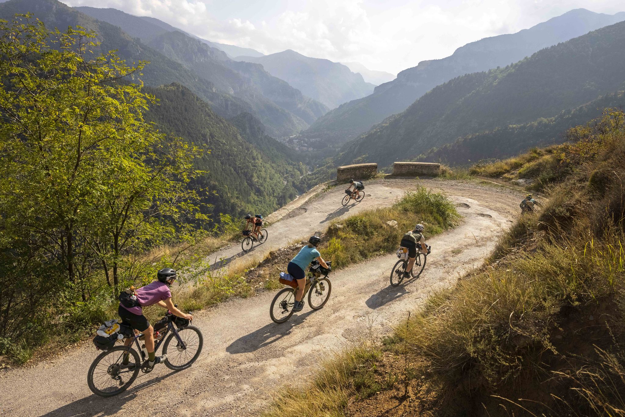
Lael's 2021 Komoot Women's Torino Nice Rally
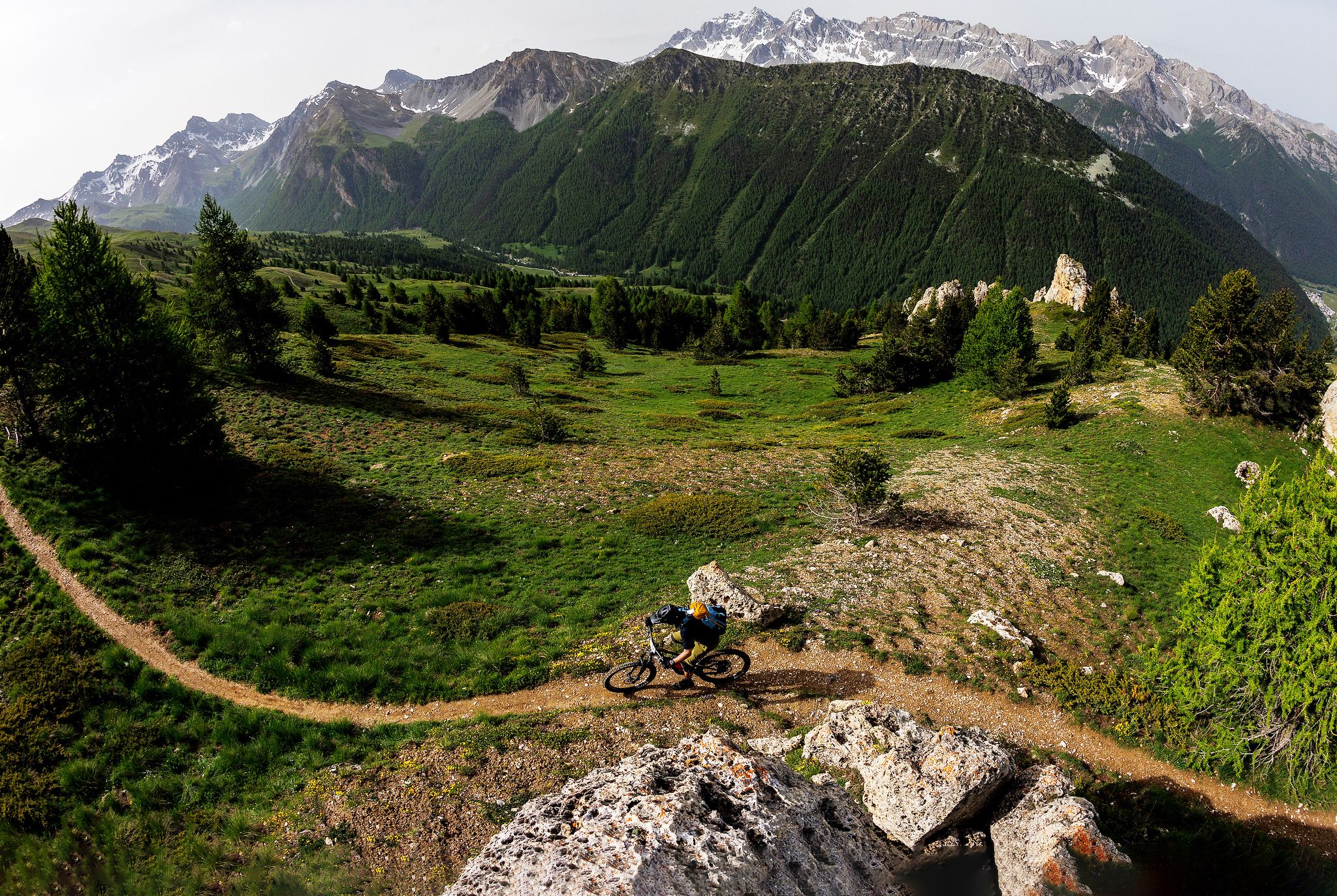
The STONE KING Route – adventure enduro from High Alps to the Med

Hike from Saint-Étienne-de-Tinée to Briançon – Europe Trail (GR 5)

Legendary passes of the Tour de France
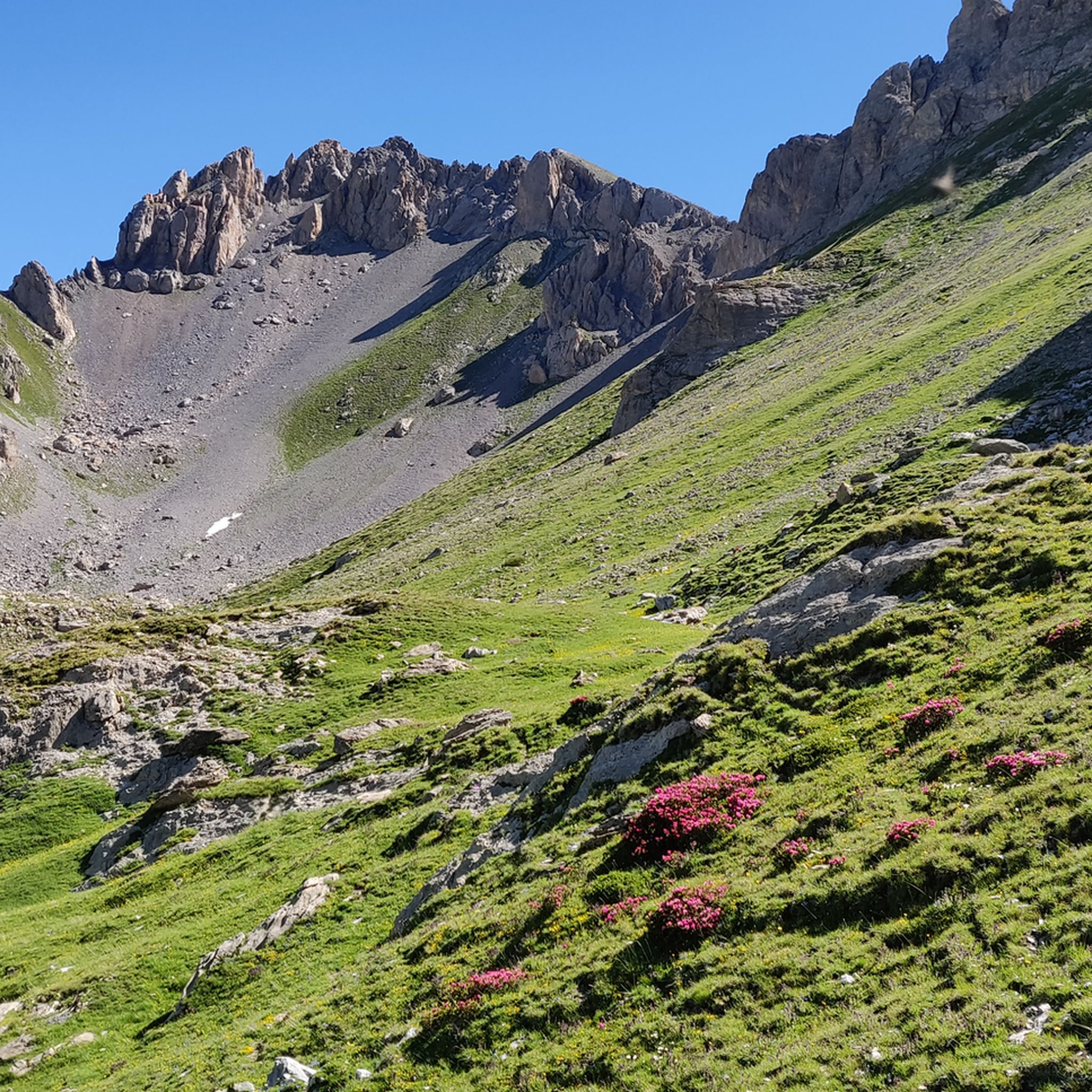
Hiking around Arvieux
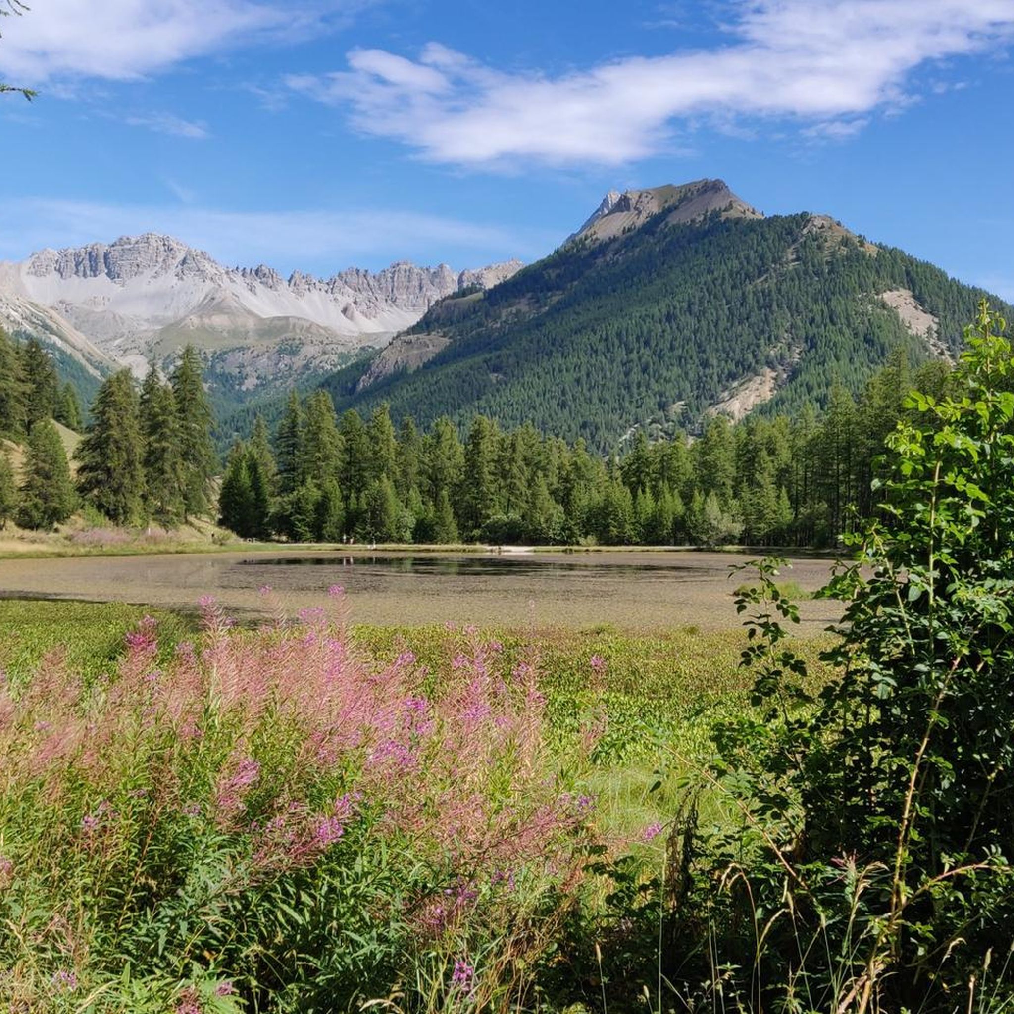
Road Cycling Routes around Arvieux
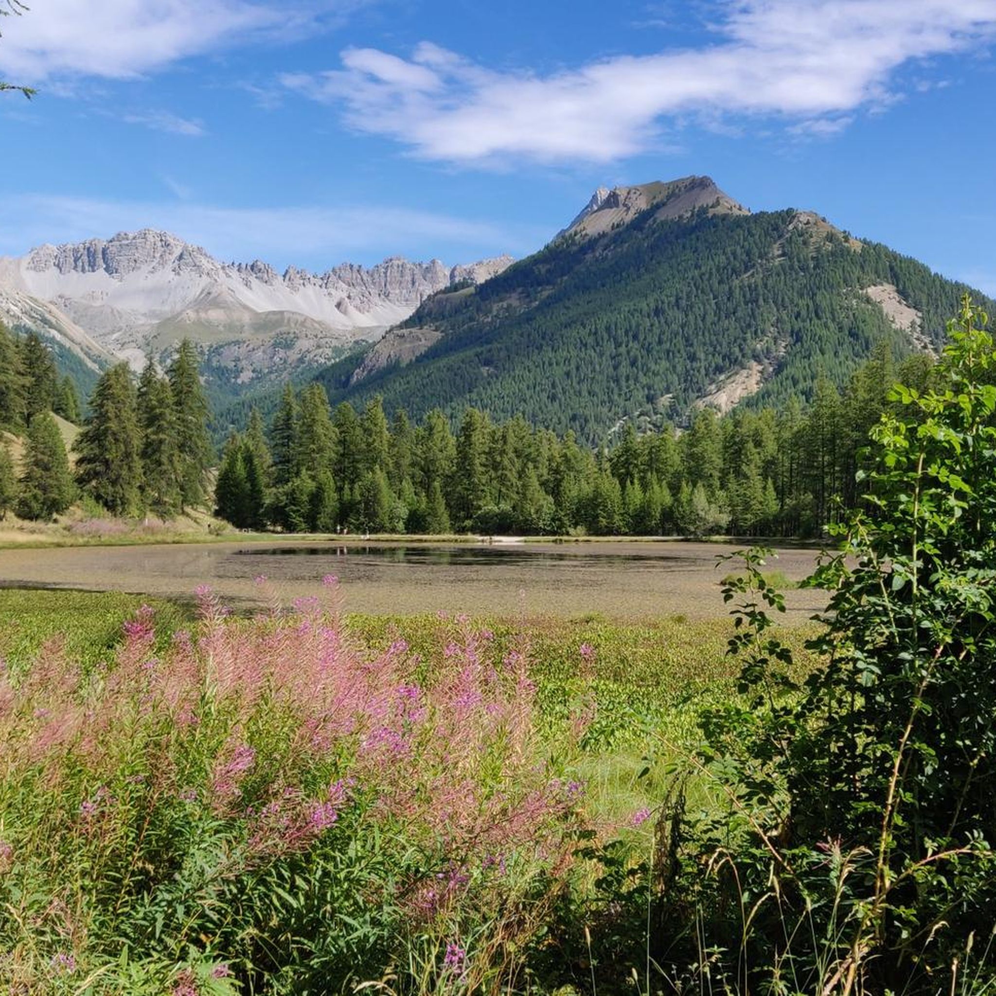
MTB Trails around Arvieux
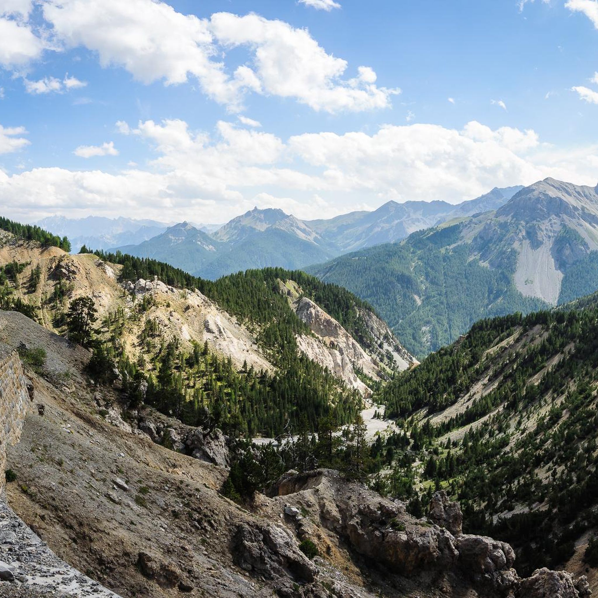
Running Trails around Arvieux
Gravel biking around Arvieux

Mountain Hikes around Arvieux
Other adventures around Arvieux


Tips from the Community

From here you can enjoy a breathtaking view, both towards Italy and France. Unfortunately, I caught it during roadwork and resurfacing, but I'd be curious to see it once it's finished.
0
0

The Col de l'Izoard (French: Col de l'Izoard - 2,361 m above sea level) is an Alpine pass located in the French department of Hautes-Alpes, in the centre of the Queyras massif in the Cottian Alps.
5
0

A refuge located in a magnificent setting amidst mountain chalets. The welcome from the warden is excellent!
0
0

Colle dell'Agnello (2,744 meters above sea level - Col Agnel in French; Còl dl'Agnél in Piedmontese) is an Alpine pass in the Cottian Alps (Monviso Alps), as well as the second-highest road pass in Italy and the third-highest in Europe [N 2], preceded only by the Colle dell'Iseran [N 3] in the French Alps and the Stelvio Pass in the Ortler Alps. Located southwest of Monviso, between Pan di Zucchero and Punta dell'Alp, it connects Italy to France from the Piedmontese municipality of Pontechianale to the French municipality of Molines-en-Queyras in the Hautes-Alpes department [N 4]. It was inaugurated in 1973 by expanding a pre-existing dirt military road; It has been a transit point for several stages of the Giro d'Italia and the Tour de France and a popular destination for summer camps for amateur astronomers, offering one of the observation sites with the darkest, most pristine sky and accessible by normal vehicles.
0
0
One of the most beautiful climbs in the French Alps.
16
0
Just before the summit is this beautiful refuge.
16
0
Frequently Asked Questions
How many touring cycling routes are available around Arvieux?
There are over 20 touring cycling routes around Arvieux, offering a wide range of options for different skill levels and preferences within the stunning Queyras Regional Natural Park.
What is the best time of year to go touring cycling in Arvieux?
The best time for touring cycling in Arvieux is generally during the warmer months, from late spring to early autumn. This period offers more favorable weather conditions for tackling the alpine passes and enjoying the diverse landscapes. Keep in mind that higher passes like Col d'Izoard can still have snow well into early summer.
Are there any challenging touring cycling routes for experienced riders?
Yes, Arvieux is known for its challenging routes, particularly those involving iconic mountain passes. For example, the La Belle Échappée – Saint-Laurent Church loop from Arvieux is a difficult 12.8-mile (20.6 km) path with significant elevation gain, exploring the local area. Another demanding option is the Furfande Refuge – Furfande Pass loop from Parking du Queyron, a 17.8-mile (28.7 km) trail leading through the Furfande Pass.
What kind of terrain can I expect on touring cycling routes in Arvieux?
The terrain around Arvieux is highly varied, reflecting its alpine setting. You'll encounter everything from paved roads on challenging mountain passes like the Col d'Izoard, with its dramatic Casse Déserte landscape, to more open valley sections. The region features imposing limestone and dolomite cliffs, as well as areas shaped by softer glossy schists, providing a diverse cycling experience.
Are there any circular touring cycling routes in Arvieux?
Yes, many touring cycling routes in Arvieux are designed as loops, allowing you to start and finish in the same location. A popular example is the Brunissard Pump Track – Col de l'Izoard loop from Arvieux - Brunissard, which takes you up to the iconic Col de l'Izoard and back.
What landmarks or natural features can I see along the touring cycling routes?
Arvieux's touring cycling routes offer access to numerous natural and historical landmarks. You can experience the unique moon-like landscape of the Casse Déserte on the ascent to Col d'Izoard. The region is also surrounded by majestic peaks like Jamberoute and Pic of Beal Ferry. For historical sites, consider exploring the traditional arcaded houses in Arvieux and its hamlets, or visiting the 16th-century church of Arvieux. Nearby, you can find impressive structures like Château-Queyras or the dramatic Gorges of the Guil.
Are there any family-friendly touring cycling routes in Arvieux?
While many routes in Arvieux involve significant climbs, there are options suitable for families looking for less strenuous rides. The region offers a network of paths that cater to various fitness levels. Look for routes described as 'moderate' on komoot, which often feature more accessible terrain, though specific 'easy' routes for young children might be limited given the alpine environment.
What do other touring cyclists enjoy most about cycling in Arvieux?
The touring cycling routes around Arvieux are highly rated by the komoot community, with an average score of 5.0 stars from over 15 reviews. Cyclists often praise the dramatic alpine scenery, the challenge of the mountain passes, and the diverse valleys that make each ride unique. The extensive network of paths also allows for varied experiences, from demanding climbs to more accessible options.
Is public transport available to access touring cycling trails in Arvieux?
Arvieux is located within the Queyras Regional Natural Park, and while public transport options exist within the broader region, direct access to specific trailheads via public transport might be limited. It's advisable to check local bus schedules or regional transport services for connections to Arvieux and its surrounding hamlets, especially during peak seasons.
Are there specific parking areas for touring cyclists in Arvieux?
Yes, you can typically find parking in and around the main village of Arvieux and its hamlets, as well as at popular starting points for routes. For instance, the Furfande Refuge – Furfande Pass loop starts from Parking du Queyron, indicating designated parking facilities near trail access points. Always look for marked parking areas to ensure convenience and safety.
Are there any permits required for cycling in the Queyras Regional Natural Park?
Generally, no specific permits are required for touring cycling on established roads and marked trails within the Queyras Regional Natural Park. However, it's always good practice to respect park regulations, stay on designated paths, and be aware of any specific rules regarding protected areas or private land. Always check for the latest information from the park authority if you plan to venture off main routes.
Can I find cafes or accommodation near the touring cycling routes in Arvieux?
Yes, Arvieux and its surrounding hamlets, such as Brunissard, offer various amenities including cafes and accommodation options. These villages are accustomed to welcoming outdoor enthusiasts. You'll find places to refuel and rest, especially in the main village centers or along popular routes. It's recommended to check availability and opening hours, particularly during off-peak seasons.
Most popular routes around Arvieux
Most popular attractions around Arvieux

Get inspired with the komoot mobile app


Explore more
Browse the best Cycling routes in other regions.
