The best road cycling routes around Valserres
4.6
(268)
7,040
riders
127
rides
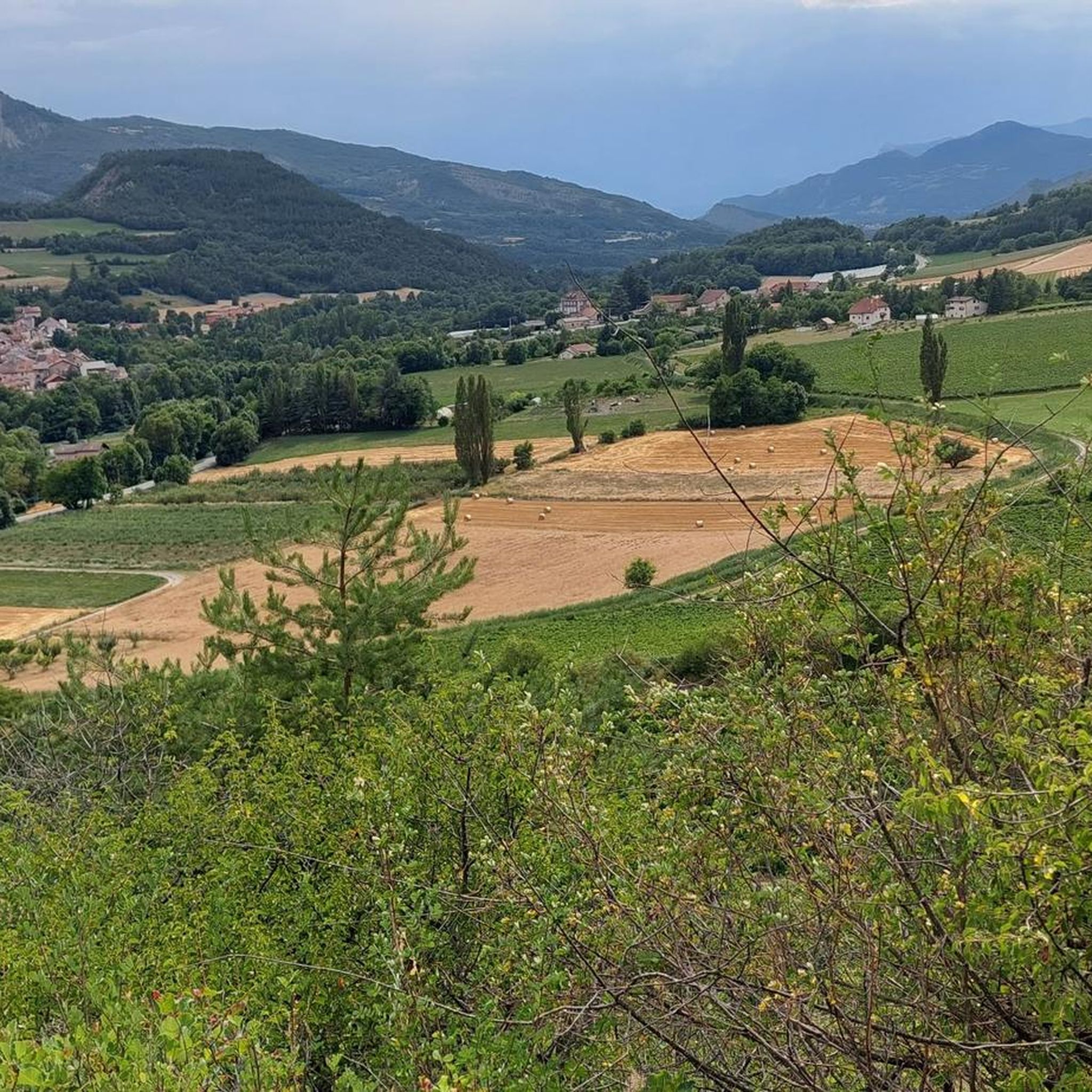
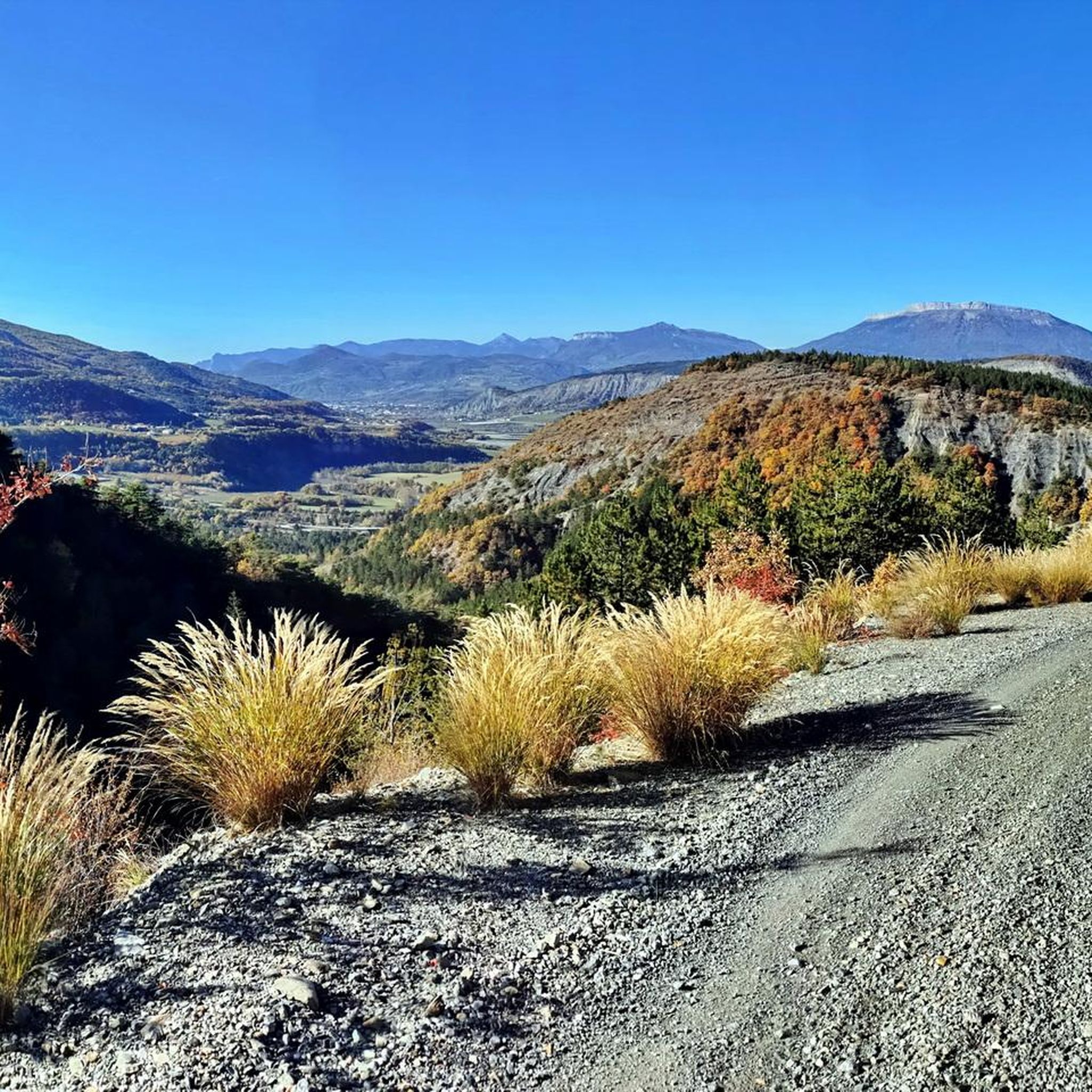
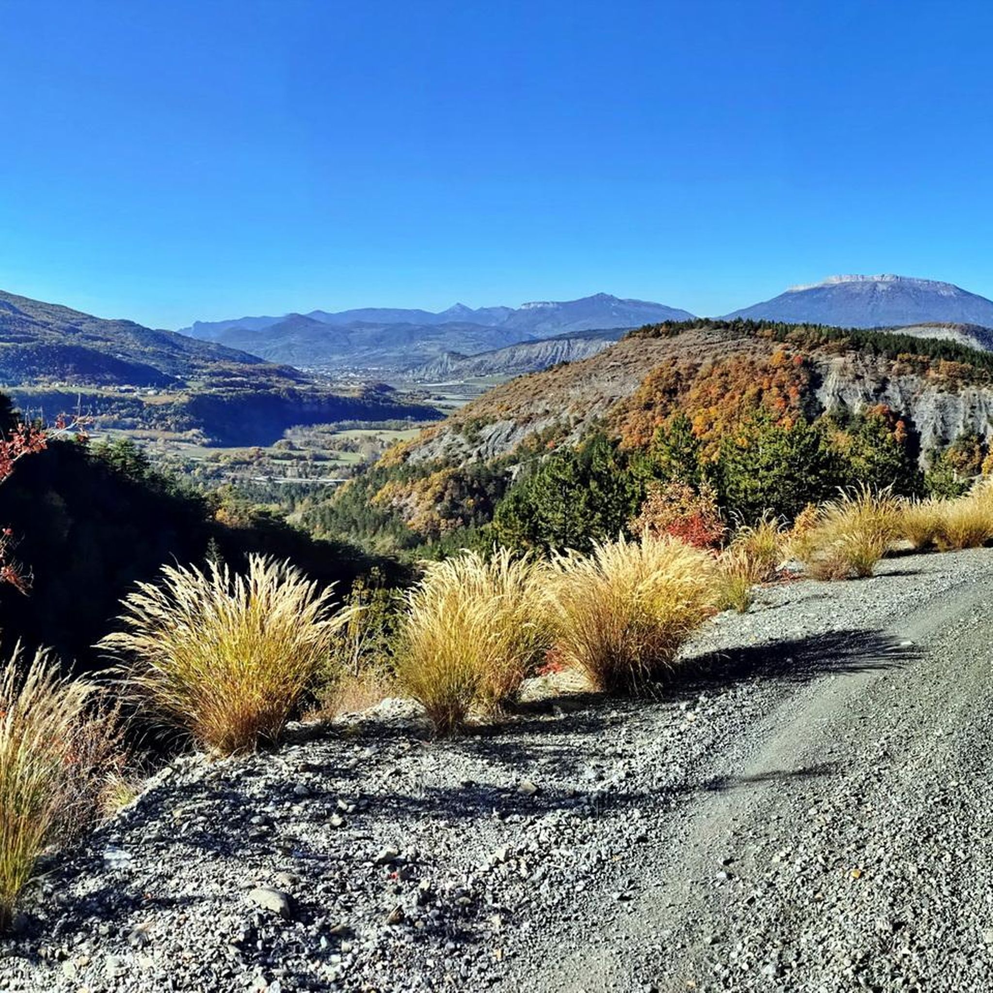
Road cycling routes around Valserres are situated in the Hautes-Alpes department, offering diverse terrain for cyclists. The region features extensive flat plains, rolling hills, and prominent mountain ranges, including the Saint-Maurice mountain, which reaches 1410m. Cyclists encounter varied landscapes within the Gapençais region, characterized by meadows, forests, and high mountain pastures, alongside the Durance river and Lake Serre-Ponçon. This area provides a mix of paved surfaces with significant elevation gains, suitable for various road cycling experiences.
Best road cycling routes…
Last updated: July 13, 2026
4.0
(2)
158
riders
81.0km
04:17
1,450m
1,450m
Hard road ride. Very good fitness required. Mostly well-paved surfaces and easy to ride.
4.3
(6)
111
riders
25.8km
01:15
360m
370m
Moderate road ride. Good fitness required. Mostly well-paved surfaces and easy to ride.

Sign up for free
5.0
(1)
124
riders
47.3km
02:20
750m
750m
Moderate road ride. Good fitness required. Some segments of this route may be unpaved and difficult to ride.
4.0
(1)
60
riders
73.5km
03:32
1,020m
1,020m
Hard road ride. Very good fitness required. Mostly well-paved surfaces and easy to ride.
5.0
(1)
47
riders
44.9km
02:07
550m
550m
Moderate road ride. Good fitness required. Mostly well-paved surfaces and easy to ride.
Get access to more routes and recommendations from other explorers.
Sign up for free
Already have an account?
Our route recommendations are based on thousands of hikes, rides, and runs completed by other people on komoot.
Start today with a free account
Your next adventure awaits.
Login or Signup
Tips from the Community

The Castle of Tallard is one of the most important medieval monuments in the French Hautes-Alpes. It stands in the village of Tallard, about 20 km from Gap, in a dominant position over the Durance valley.
3
0
Old wooden cart adorned with flowers.
2
0
Tallard is a French commune with 1,996 inhabitants located in the Hautes-Alpes department in the Provence-Alpes-Côte d'Azur region. 570-1,121 m above sea level.
10
0

Col de Pontis is a climb located in the Serre Ponçon region. This climb is 5.2 kilometers long, with a positive elevation gain of 507 meters. Col de Pontis has an average gradient of 9.7%. With this gradient, the climb has 521 difficulty points. The highest point is at an altitude of 1,299 meters.
0
0


Beautiful place to stop and enjoy the view of the lake
1
0

visit is of course subject to a fee
1
0

Coming from La Motte-du-Caire, it's only a short climb, which makes the long, beautiful descent on smooth asphalt all the more surprising.
0
0
Frequently Asked Questions
How many road cycling routes are available around Valserres?
There are over 150 road cycling routes in the Valserres area, offering a wide range of options for different skill levels and preferences. You'll find everything from moderate rides to challenging routes with substantial climbs.
What kind of terrain and difficulty can I expect on road cycling routes near Valserres?
The Valserres region, nestled in the Hautes-Alpes, offers diverse terrain. You can expect routes ranging from extensive flat plains to challenging mountainous sections with significant elevation gains. There are 8 easy routes, 87 moderate routes, and 59 difficult routes, ensuring options for all fitness levels.
When is the best time of year for road cycling in Valserres?
Valserres benefits from a mild climate, making it suitable for road cycling for much of the year. Spring and autumn generally offer pleasant temperatures and beautiful scenery. Summer is also popular, though some higher mountain passes might be warmer.
Are there family-friendly road cycling routes around Valserres?
Yes, the area offers routes suitable for all fitness levels, including 8 easy routes that are generally more suitable for families. These routes often feature less elevation gain and can be a great way to explore the scenic landscapes together.
What notable landmarks or natural features can I see along the road cycling routes?
Many routes offer stunning views of the Gapençais region, characterized by flower-filled meadows, dense forests, and high mountain pastures. You can also encounter the Durance river and the impressive Serre-Ponçon Dam, part of one of Europe's largest artificial lakes. Other natural sites include Pelleautier Lake and the distinctive "Demoiselles coiffées" (fairy chimneys).
Are there any circular road cycling routes starting near Valserres?
Yes, many routes in the region are designed as loops. For example, the Col de Jarjayes – Sentinel Pass loop from Remollon is a popular moderate option, and the Sentinel Pass – Col de Jarjayes loop from Jarjayes offers a more challenging circular ride.
What do other road cyclists enjoy the most about road cycling in Valserres?
The road cycling routes around Valserres are highly rated by the komoot community, with an average score of 4.5 stars from over 260 reviews. Cyclists often praise the varied terrain, from rolling hills to challenging mountain passes, and the beautiful scenery of the Hautes-Alpes, including views of Lake Serre-Ponçon.
Are there any routes that offer views of Lake Serre-Ponçon?
Absolutely. The Col de Pontis – Lake Serre-Ponçon loop from Valserres is a difficult route that provides significant elevation changes and panoramic views of Lake Serre-Ponçon. You can also find viewpoints like View of Lac de Serre-Ponçon from Mont Colombis.
Can I find routes that include passes like Sentinel Pass or Col de Jarjayes?
Yes, several routes incorporate these notable passes. The Col de Jarjayes – Sentinel Pass loop from Remollon and the Sentinel Pass – Gap loop from Saint-Étienne-le-Laus are examples that navigate through these areas, offering varied terrain and ascents.
Are there options for less crowded road cycling routes in Valserres?
The Hautes-Alpes region is known for its scenic "balcony roads" and hairpin bends, often found away from main thoroughfares. Exploring some of the less-trafficked routes can provide a more immersive experience of the local flora, fauna, and serene landscapes.
What are some challenging road cycling routes for experienced riders?
For experienced riders seeking a challenge, the region offers 59 difficult routes. A prime example is the Col de Pontis – Lake Serre-Ponçon loop from Valserres, which covers over 80 km with significant elevation changes, providing a demanding yet rewarding experience.
Are there any routes that pass through the town of Gap?
Yes, some routes connect to or pass near the town of Gap. For instance, the Sentinel Pass – Gap loop from Saint-Étienne-le-Laus leads through the Sentinel Pass area towards Gap, offering a ride that combines natural beauty with access to a larger settlement.
Most popular attractions around Valserres

Get inspired with the komoot mobile app


Explore more
Browse the best Road cycling routes in other regions.
