Saint-Bonnet-En-Champsaur
Saint-Bonnet-En-Champsaur
The best road cycling routes around Saint-Bonnet-En-Champsaur
4.7
(142)
3,956
riders
19
rides
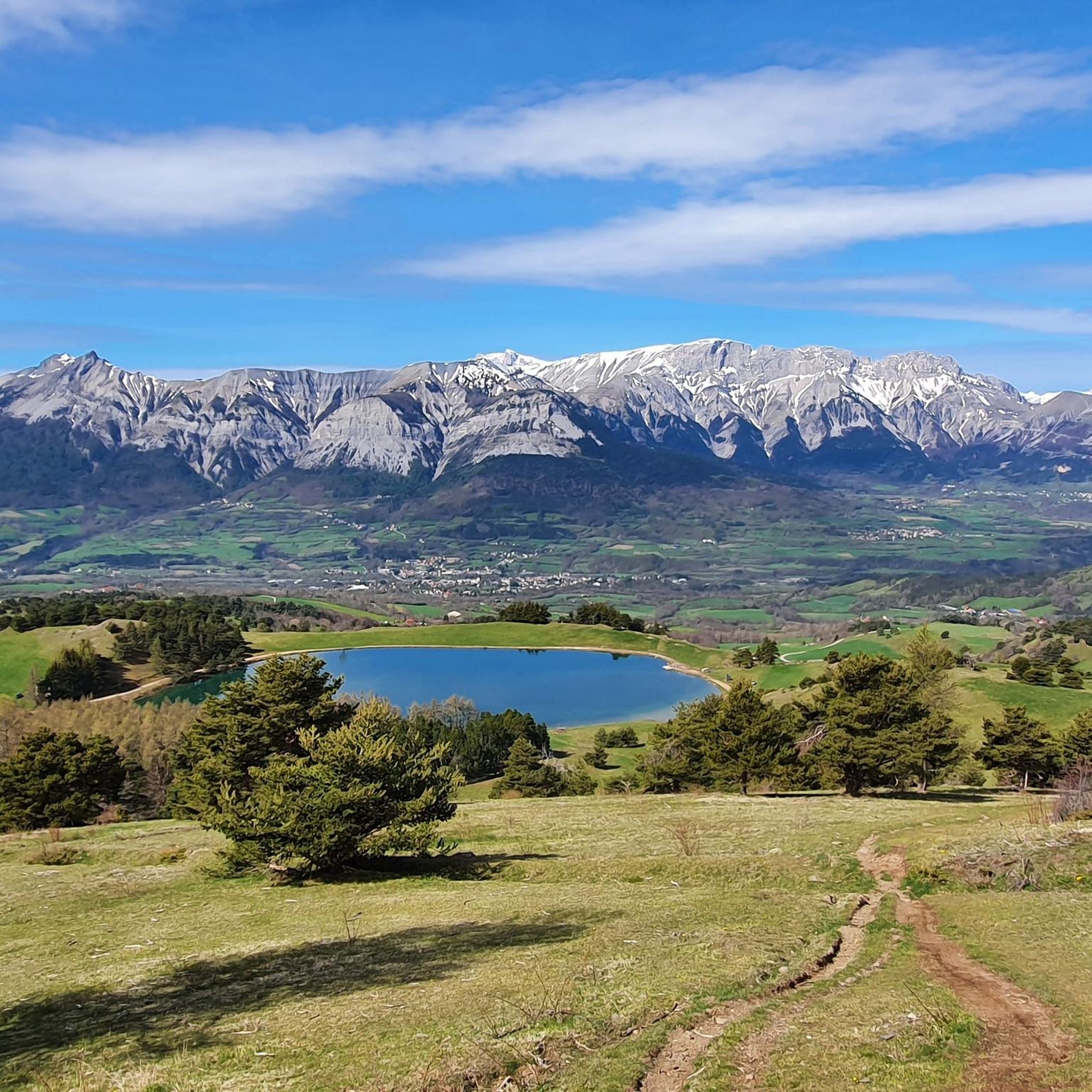
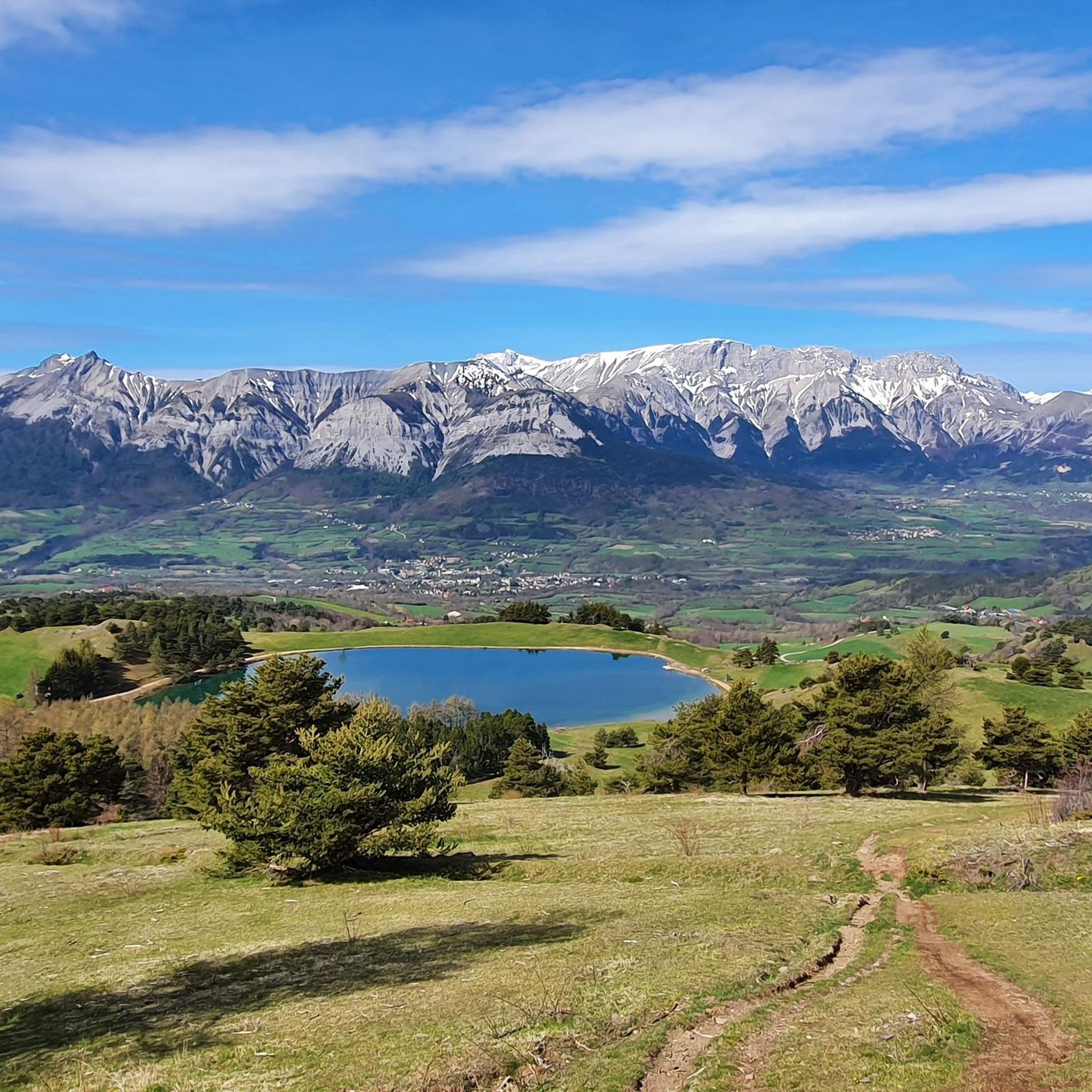
Road cycling routes around Saint-Bonnet-En-Champsaur are situated in the Hautes-Alpes department of southeastern France, characterized by diverse landscapes. The region features wide valleys with fields and pastures, hedged farmland, and forests, typical of the Champsaur Valley. It also serves as a gateway to Écrins National Park, providing varied alpine scenery including mountain pastures and glaciers, with the Drac river traversing the valley. This area offers challenging mountain passes and scenic roads for road cyclists.
Best road cycling routes around Saint-Bonnet-En-Champsaur
…Last updated: August 25, 2026
3.0
(1)
25
riders
32.8km
01:47
610m
610m
Moderate road ride. Good fitness required. Mostly well-paved surfaces and easy to ride.
4.5
(4)
85
riders
43.0km
01:52
390m
390m
Moderate road ride. Good fitness required. Mostly well-paved surfaces and easy to ride.

Sign up for free
10
riders
18.9km
01:03
380m
370m
Moderate road ride. Good fitness required. Mostly well-paved surfaces and easy to ride.
4.5
(2)
11
riders
Moderate road ride. Good fitness required. Mostly well-paved surfaces and easy to ride.
4.0
(2)
10
riders
56.9km
02:51
940m
940m
Hard road ride. Very good fitness required. Mostly well-paved surfaces and easy to ride.
Get access to more routes and recommendations from other explorers.
Sign up for free
Already have an account?
Our route recommendations are based on thousands of hikes, rides, and runs completed by other people on komoot.
Start today with a free account
Your next adventure awaits.
Login or Signup
Popular around Saint-Bonnet-En-Champsaur

Tips from the Community

A bit of freshness on the edge of the bike path in the full climb. It feels good 🍼
0
0

Convenient parking (water point) and starting point for visiting Corps or taking some walks.
0
0
coffee, tea, pastries, cakes, ice cream, toilets, water and a warm welcome
0
0


A valley with very little traffic surrounded by pine forests.
26
0
Village Isere, on the Route Napoleon, Corps takes place in the heart of the Dauphiné, eighty kilometers from Grenoble. This ancient medieval town is located on the border of the Hautes-Alpes, in the southern Alps, about 40 km from Gap and close to Saint-Firmin, Aspres-lès-Corps and Ambel.
28
0
The river is formed by the confluence of the Drac Noir and Drac Blanc streams which originate in the western part of the Massif des Écrins.
30
0
Frequently Asked Questions
How many road cycling routes are available around Saint-Bonnet-en-Champsaur?
There are over 20 road cycling routes documented on komoot around Saint-Bonnet-en-Champsaur, with the wider region offering more than 120 cycle routes. These range from moderate to difficult, catering to various fitness levels.
Are there any easy road cycling routes suitable for beginners or families in Saint-Bonnet-en-Champsaur?
Yes, for those seeking a less strenuous ride, the region offers some moderate options. For example, the View of the Champsaur bocage loop from Saint-Bonnet-en-Champsaur is a moderate 20.7 km trail that takes you through the picturesque bocage of Champsaur.
What are some challenging road cycling routes for experienced riders?
The region is renowned for its challenging mountain passes. A demanding option is the Chaillol 1600 – Champoleon valley loop from Bénévent-et-Charbillac, a difficult 84 km route with over 2,200 meters of elevation gain. Another significant challenge is the Parquetout Pass – Parquetout Pass loop from Saint-Bonnet-en-Champsaur, covering over 130 km with substantial climbing.
What kind of scenery can I expect on road cycling routes in the Champsaur Valley?
The Champsaur Valley, often called an 'alpine garden,' offers diverse scenery. You'll cycle through wide valleys with fields and pastures, hedged farmland, and forests. The routes also provide views of the majestic Vieux Chaillol and serve as a gateway to the stunning alpine landscapes of Écrins National Park.
Are there any circular road cycling routes available?
Yes, many routes in the area are designed as loops. Examples include the View of the Champsaur bocage loop from Saint-Bonnet-en-Champsaur and the more challenging Chaillol 1600 – Champoleon valley loop from Bénévent-et-Charbillac, allowing you to start and finish in the same location.
What natural attractions can I see along the road cycling routes?
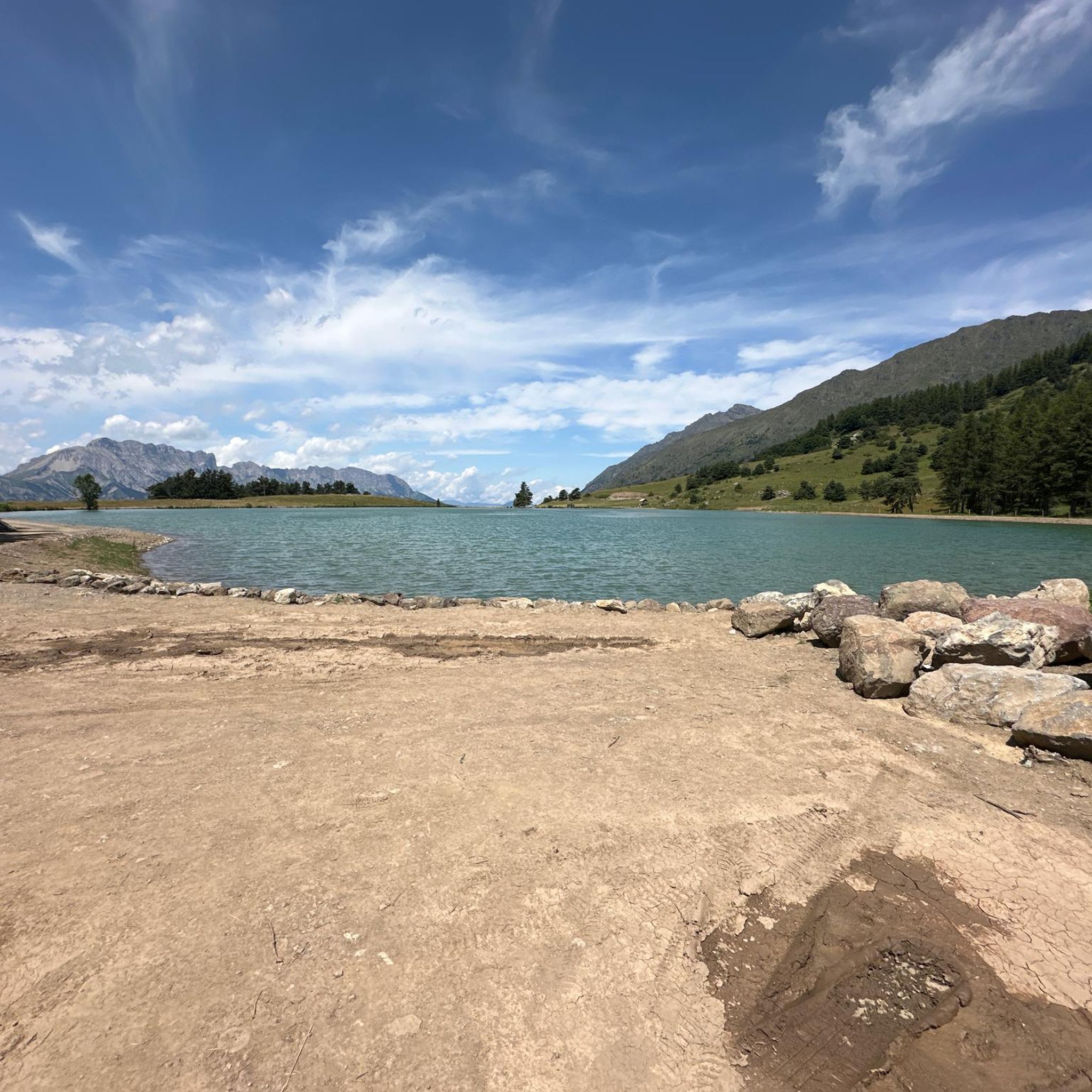
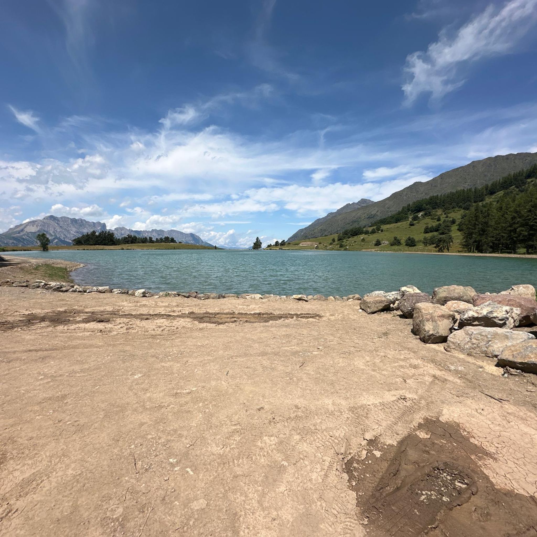
The region is rich in natural beauty. Cyclists can encounter stunning lakes like Lacs de Pétarel and Plateau de Libouze, or enjoy views of Lake Jaussauds. The Cascade de la Pisse waterfall is another notable natural monument in the vicinity.
What do other road cyclists enjoy most about road cycling in Saint-Bonnet-en-Champsaur?
The routes in Saint-Bonnet-en-Champsaur are highly rated by the komoot community, with an average score of 4.6 stars. Cyclists often praise the diverse landscapes, from wide valleys to challenging mountain passes, and the stunning views of the Écrins National Park.
Are there any famous mountain passes accessible by road bike in this region?
Absolutely. The Hautes-Alpes are famous for legendary passes. While many routes feature local climbs, the region is a gateway to iconic passes like Col du Noyer, Izoard, Granon, Galibier, Agnel, Lautaret, and Vars, offering epic cycling experiences.
What is the best time of year for road cycling in Saint-Bonnet-en-Champsaur?
The region benefits from a blend of alpine and Mediterranean climates. Spring and autumn offer pleasant conditions, while summer is ideal for tackling the higher mountain passes. Always check local weather patterns and road conditions, especially for higher elevations.
Are there any specific viewpoints or scenic spots along the routes?
Many routes offer magnificent panoramas. The Col du Noyer, for instance, provides indescribably beautiful views from its summit. Additionally, the Champoleon valley – View of the Écrins Mountains loop from La Fare-en-Champsaur is specifically designed to showcase the stunning vistas of the Écrins Mountains.
Can I find routes that feature a significant descent?
Yes, some routes are known for their exhilarating descents. The Saint-Bonnet-en-Champsaur – Insane descent loop from La Fare-en-Champsaur is a moderate 32.2 km path specifically highlighted for its notable descent and views of the surrounding valleys.
What is the typical elevation gain on road cycling routes here?
Elevation gain varies significantly depending on the route's difficulty. Easier routes might have a few hundred meters of ascent, while difficult routes like the Chaillol 1600 – Champoleon valley loop from Bénévent-et-Charbillac can feature over 2,200 meters of climbing, challenging even experienced cyclists.
Most popular routes around Saint-Bonnet-En-Champsaur
Most popular attractions around Saint-Bonnet-En-Champsaur

Get inspired with the komoot mobile app


Explore more
Browse the best Road cycling routes in other regions.
