La Fare-En-Champsaur
La Fare-En-Champsaur
The best walks and hikes around La Fare-En-Champsaur
4.5
(739)
7,838
hikers
212
hikes
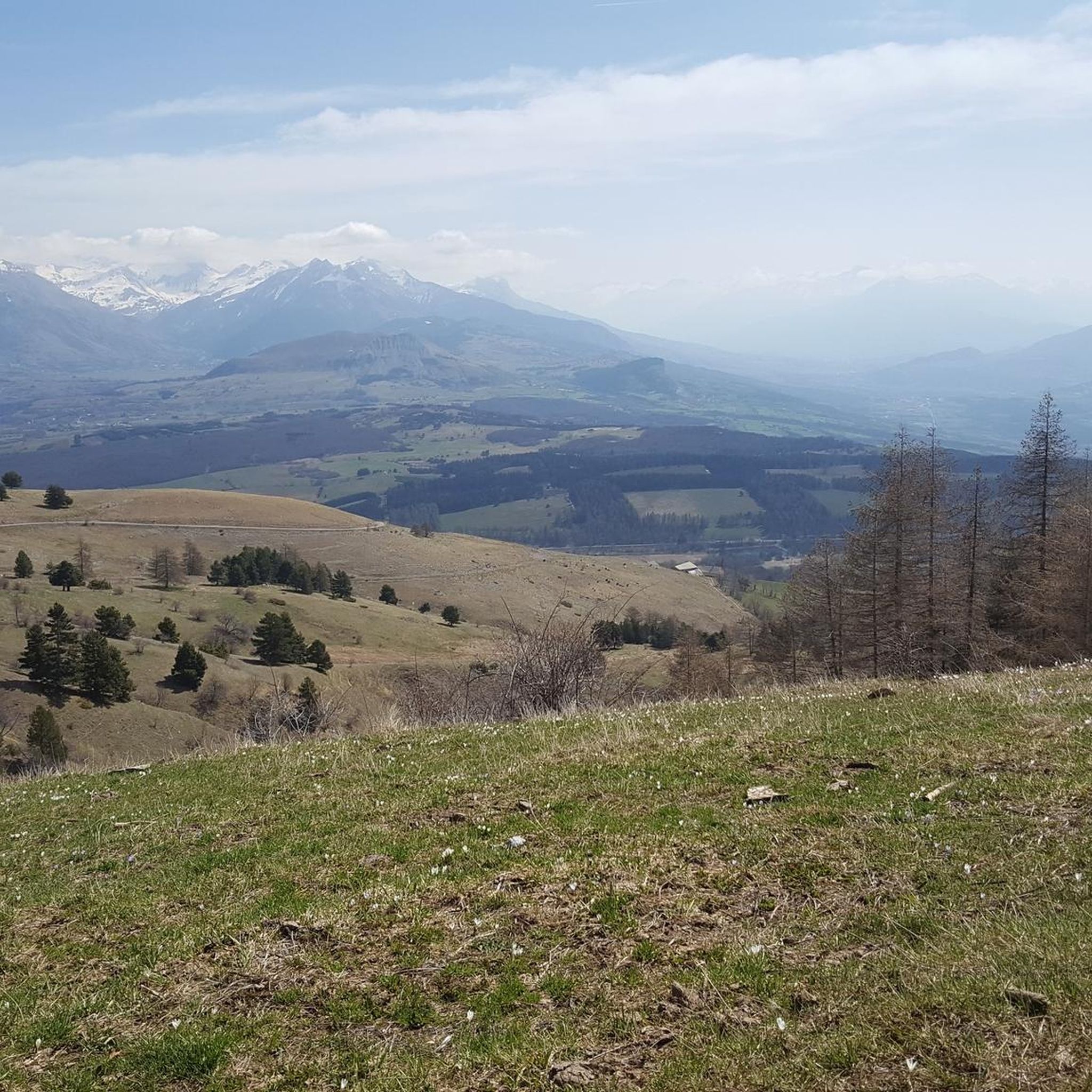
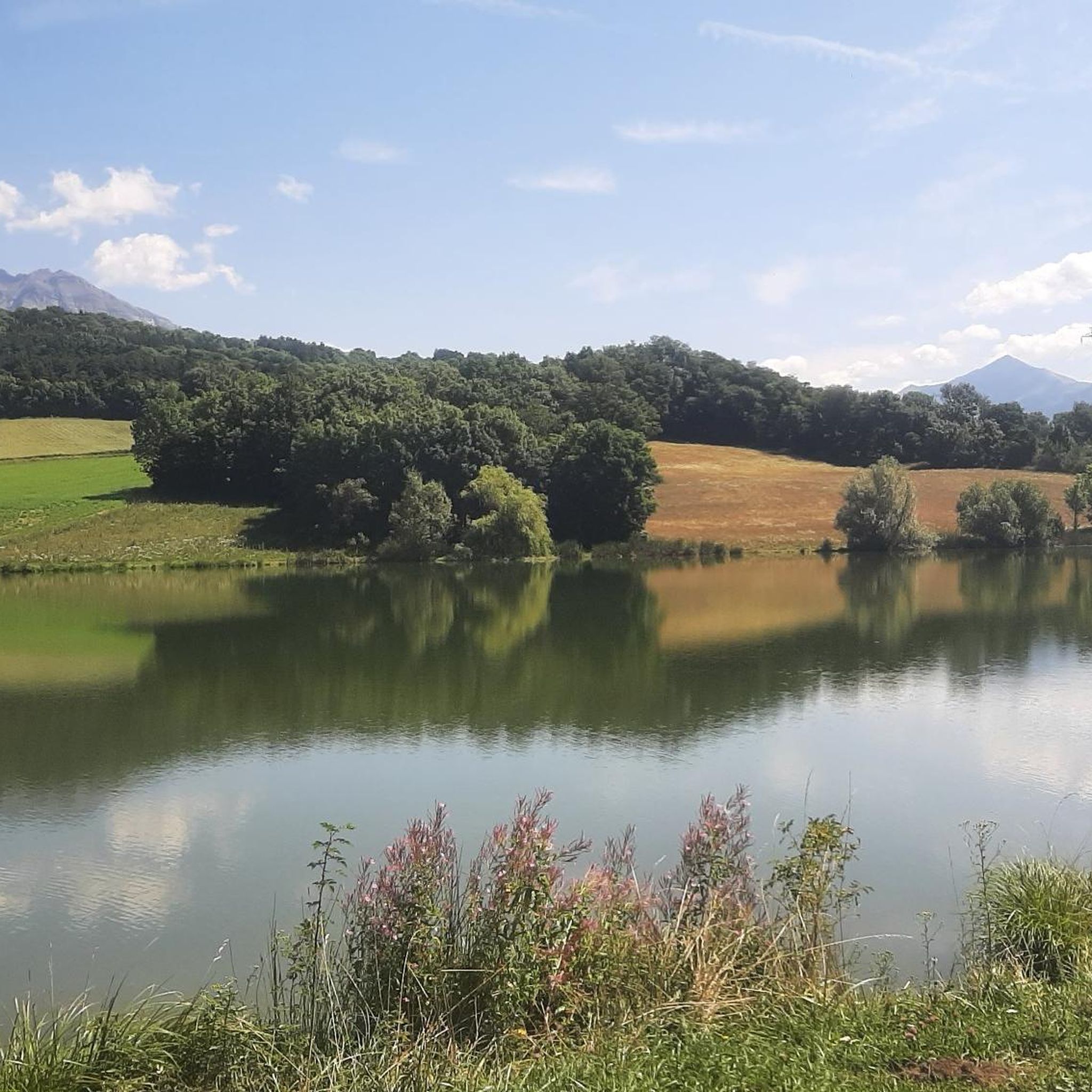
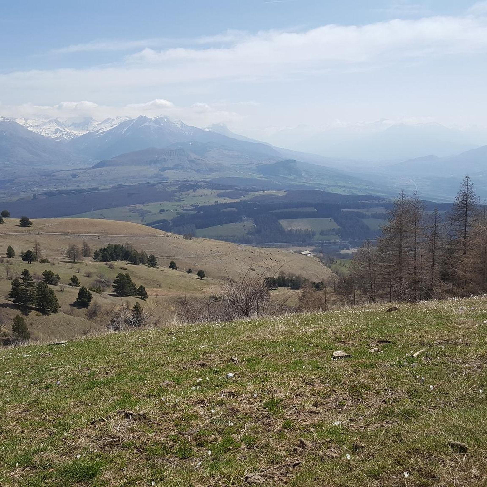
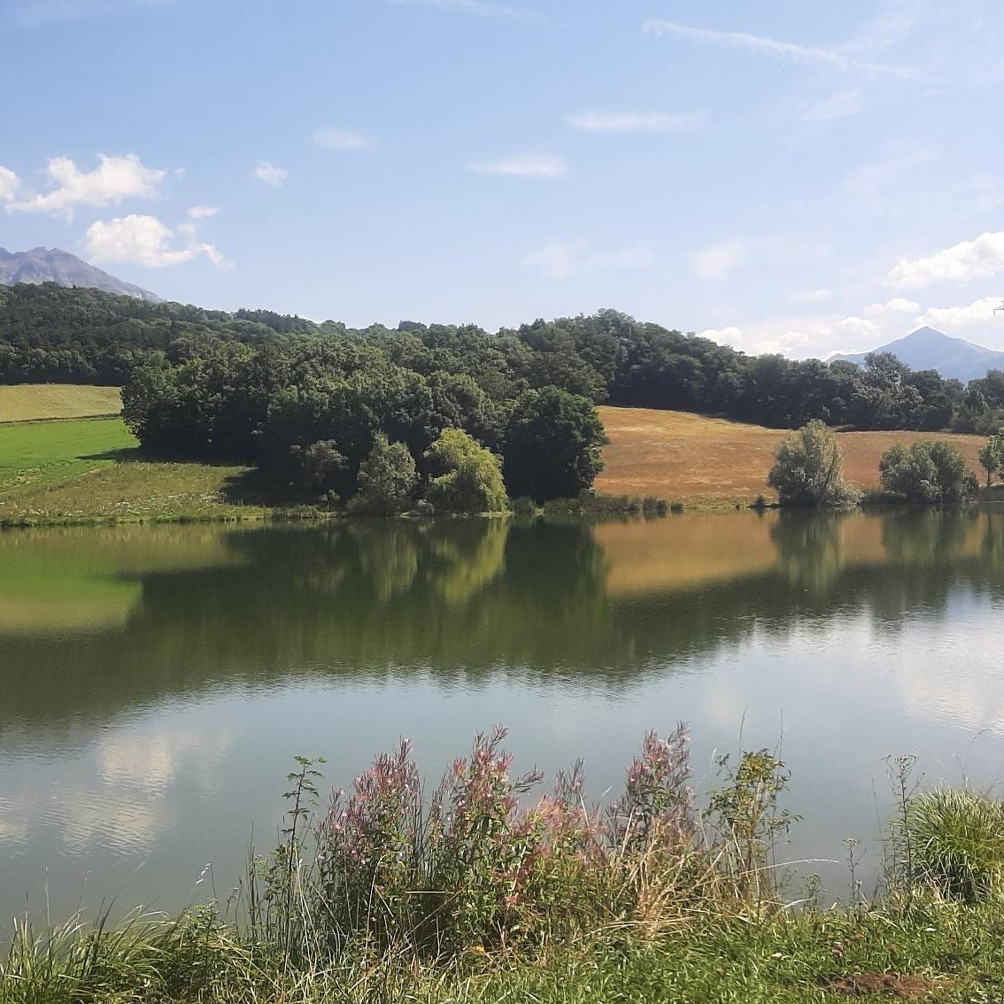
Hiking around La Fare-En-Champsaur offers access to the diverse landscapes of the Champsaur Valley in the Hautes-Alpes department. The region features a mix of fields, forests, serene valleys, and high-altitude peaks, often described as an "alpine garden." It borders the Écrins National Park, providing extensive wilderness, and is characterized by the Drac River and numerous mountain lakes. The terrain includes fir and larch forests, alpine meadows, and rocky areas at higher elevations.
Best hiking trails around La Fare-En-Champsaur
- The most…
Last updated: July 1, 2026
4.3
(3)
72
hikers
8.56km
02:15
70m
70m
Moderate hike. Good fitness required. Easily-accessible paths. Suitable for all skill levels.
5.0
(5)
59
hikers
9.49km
04:40
810m
800m
Hard hike. Good fitness required. Sure-footedness, sturdy shoes and alpine experience required.

Sign up for free
4.0
(1)
21
hikers
Hard hike. Very good fitness required. Mostly accessible paths. Sure-footedness required.
5.0
(2)
13
hikers
14.2km
04:20
500m
500m
Moderate hike. Good fitness required. Easily-accessible paths. Suitable for all skill levels.
4.7
(6)
14
hikers
Moderate hike. Good fitness required. Easily-accessible paths. Suitable for all skill levels.
Get access to more routes and recommendations from other explorers.
Sign up for free
Already have an account?
Our route recommendations are based on thousands of hikes, rides, and runs completed by other people on komoot.
Start today with a free account
Your next adventure awaits.
Login or Signup

Tips from the Community

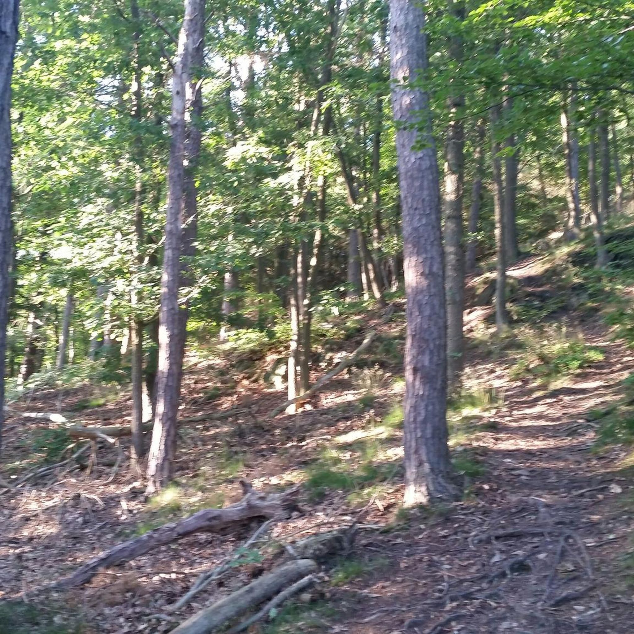
Very pretty chapel in the middle of the forest
0
0

Saint-Bonnet-en-Champsaur, a charming village in the Hautes-Alpes, overlooks the Drac. It offers a peaceful setting with its varied accommodation, such as campsites and B&Bs, as well as several restaurants. Perfect for nature lovers, it is an ideal starting point for exploring the Écrins National Park.
0
0

Nice little place above the Drac. Everything is available: campsite, guest houses, restaurants. Nice location. More information: https://de.wikipedia.org/wiki/Saint-Bonnet-en-Champsaur
1
0
Frequently Asked Questions
How many hiking trails are available around La Fare-en-Champsaur?
There are 12 hiking trails around La Fare-en-Champsaur, offering a variety of experiences from easy strolls to more challenging treks. The region is known for its diverse landscapes within the Champsaur Valley.
Are there easy or family-friendly hiking options in La Fare-en-Champsaur?
Yes, La Fare-en-Champsaur offers several easy and family-friendly routes. For instance, the Hiking loop from La Fare-en-Champsaur is an easy option. The region's varied terrain, including fir and larch forests and alpine meadows, provides accessible paths suitable for families. The Malcros Canal walk from Chaillol is also noted as a great family walk.
What kind of terrain and difficulty can I expect on hikes in La Fare-en-Champsaur?
The hiking terrain around La Fare-en-Champsaur is quite varied, ranging from verdant valleys and lush forests to accessible high-altitude peaks. You'll find paths through fields, alongside the Drac River, and up to scenic cols. The trails cater to all levels, with 3 easy, 6 moderate, and 3 difficult routes available. Some routes, like the Notre-Dame de Bois Vert loop from La Fare-en-Champsaur, feature challenging ascents, while others, such as the Beautiful lake loop from La Fare-en-Champsaur, offer gentle gradients.
Are there any circular hiking routes available in La Fare-en-Champsaur?
Yes, many of the trails around La Fare-en-Champsaur are circular, allowing you to start and end in the same location. Examples include the Notre-Dame de Bois Vert loop from La Fare-en-Champsaur, the Beautiful lake loop from La Fare-en-Champsaur, and the Hiking loop from La Fare-en-Champsaur. These loops provide diverse scenery without retracing your steps.
What natural features or landmarks can I see along the hiking trails?
The region is rich in natural beauty. You can discover numerous mountain lakes, such as Lac de Vallonpierre, Lake Barbeyroux, and the lakes near Orcières (Lac des Estaris, Lac Profond). The Drac River winds through the valley, and you'll encounter beautiful fir and larch forests. For stunning panoramic views, consider trails leading to summits and cols like Le Piolit or Le Cuchon. The nearby Valgaudemar Valley also features the dramatic Cascade du Voile de la Mariée (Bride's Veil waterfall) and the Saut du Laire waterfall.
What do other hikers enjoy most about hiking in La Fare-en-Champsaur?
The area is highly rated by the komoot community, with an average score of 4.5 stars from over 600 reviews. Hikers often praise the diverse landscapes, from verdant valleys to high-altitude peaks, and the well-maintained network of trails. The accessibility of the mountains and the stunning natural features like mountain lakes and forests are frequently highlighted.
What is the best time of year for hiking in La Fare-en-Champsaur?
La Fare-en-Champsaur benefits from over 300 days of sunshine annually, making it suitable for outdoor pursuits for much of the year. Spring and autumn offer pleasant temperatures and vibrant colors, while summer is ideal for higher-altitude treks. Even in winter, the region transforms into a paradise for snowshoeing and ski touring, though specific hiking trails might be covered in snow.
Are there any notable viewpoints or mountain passes accessible from La Fare-en-Champsaur?
Yes, the region offers several impressive viewpoints and mountain passes. You can find trails leading to panoramic vistas across the Champsaur, Dévoluy, and Gap country, such as from Croix Saint-Philippe. Nearby mountain passes include Col du Noyer (1664 m) and Col de Gleize (1691 m), which offer breathtaking scenery.
Can I spot any wildlife while hiking in the Champsaur Valley?
The Champsaur Valley, especially with its proximity to the Écrins National Park, offers excellent opportunities for wildlife spotting. Hikers may encounter marmots, ibex, and chamois. There's also a possibility of seeing wolves during your excursions, particularly in more remote areas.
Are there any cultural or historical attractions near the hiking routes?
Beyond the natural beauty, the region offers cultural enrichment. You can visit historic villages like Saint-Bonnet-en-Champsaur, which is the capital of the valley, or explore the medieval Château de Saint-Jean. These sites provide insights into traditional Alpine farming practices and local heritage. The town of Gap is also within reach.
Where can I find parking for hiking trailheads in La Fare-en-Champsaur?
La Fare-en-Champsaur serves as an excellent starting point for numerous trails, and parking is generally available near the main trailheads or within the village itself. For specific routes, it's advisable to check the route details on komoot, as many tours starting directly from La Fare-en-Champsaur or nearby hamlets will have designated parking areas.
Most popular routes around La Fare-En-Champsaur
Most popular attractions around La Fare-En-Champsaur

Get inspired with the komoot mobile app


Explore more
Browse the best Hikes in other regions.
