The best road cycling routes around Balje
4.7
(131)
1,956
riders
134
rides
Road cycling routes around Balje are characterized by the flat, expansive landscapes of Lower Saxony, Germany. The region is defined by its proximity to the Elbe River and extensive dike systems, which provide natural, level cycling paths. This area, part of the Elbe-Weser Triangle, features marsh and moorland, offering predominantly flat terrain with minimal elevation gain, making it suitable for road cyclists of all levels.
Best road cycling routes around Balje
- The most popular road cycling route is Hadelner Canal – Medem River Estuary and Lock loop from Neuhaus (Oste), a 16.5 miles (26.6 km) trail that takes 1 hour 1 minute to complete. This easy route follows waterways through the flat northern German landscape.
- Another top favourite among local road cyclists is Elbe Dike Cycle Path – Gut Hörne Café · Bistro · Shop loop from Balje, Hörne-West, a moderate 31.1 miles (50.0 km) path. This route offers views along the Elbe Dike, passing local points of interest.
- Local road cyclists also love the Elbe Dike Cycle Path – Gut Hörne Café · Bistro · Shop loop from Krummendeich, Wechtern 37, a 18.1 miles (29.2 km) trail leading through the Elbe Dike landscape, often completed in about 1 hour 16 minutes.
- Road cycling around Balje is defined by the Elbe River, extensive dike systems, and flat marsh and moorland. The network offers options for different ability levels, from easy, relaxed rides to moderate distances.
- The routes in Balje are highly rated by the komoot community with an average score of 4.7 stars from over 140 reviews. More than 2,000 road cyclists have used komoot to explore Balje's varied terrain.
Last updated: July 10, 2026
5.0
(3)
33
riders
Easy road ride. Great for any fitness level. Mostly well-paved surfaces and easy to ride.
10
riders
Moderate road ride. Good fitness required. Mostly well-paved surfaces and easy to ride.

Sign up for free
6
riders
Easy road ride. Great for any fitness level. Mostly well-paved surfaces and easy to ride.
5.0
(1)
7
riders
Easy road ride. Great for any fitness level. Mostly well-paved surfaces and easy to ride.
5.0
(3)
7
riders
48.8km
01:59
40m
40m
Moderate road ride. Great for any fitness level. Some segments of this route may be unpaved and difficult to ride.
Get access to more routes and recommendations from other explorers.
Sign up for free
Already have an account?
Our route recommendations are based on thousands of hikes, rides, and runs completed by other people on komoot.
Start today with a free account
Your next adventure awaits.
Login or Signup
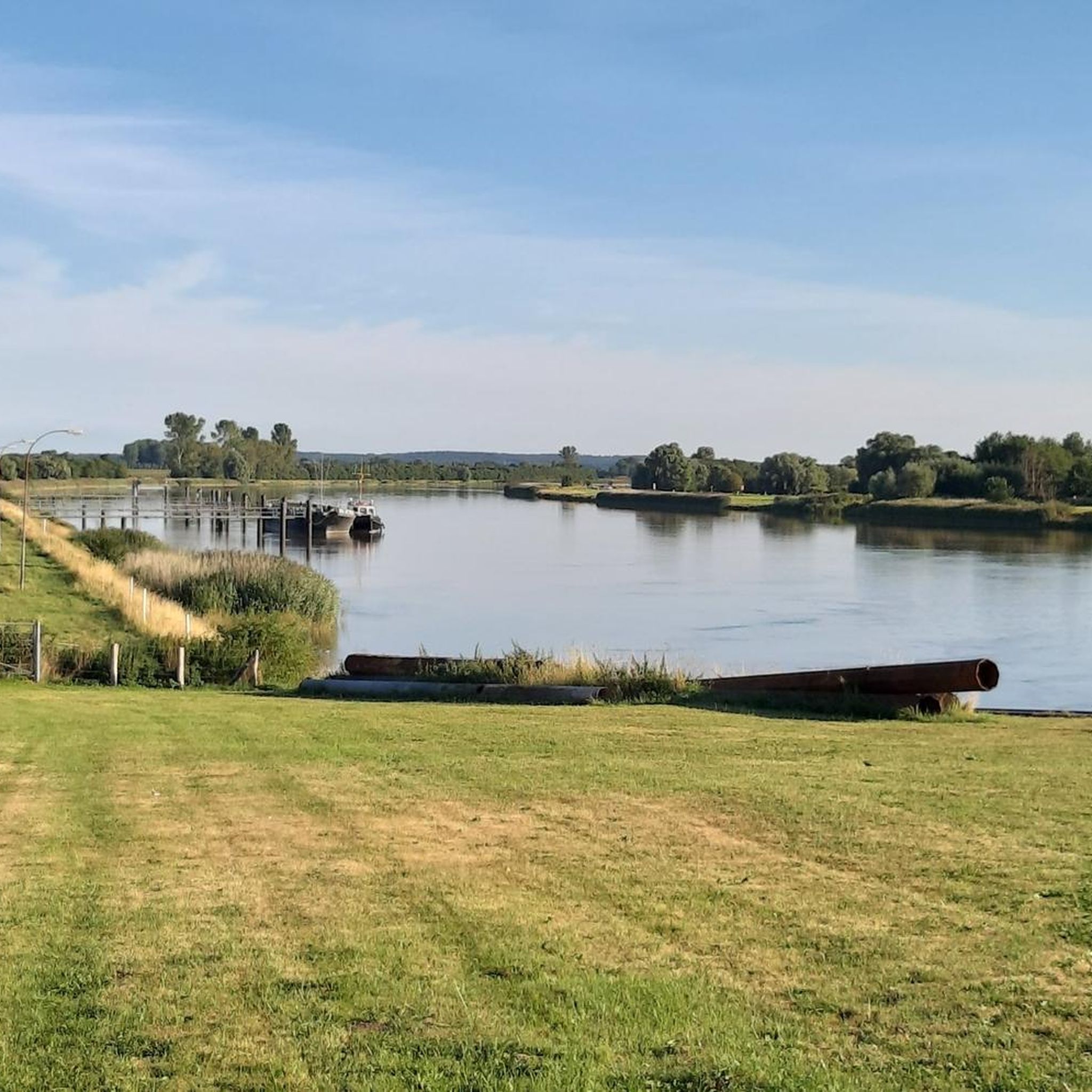
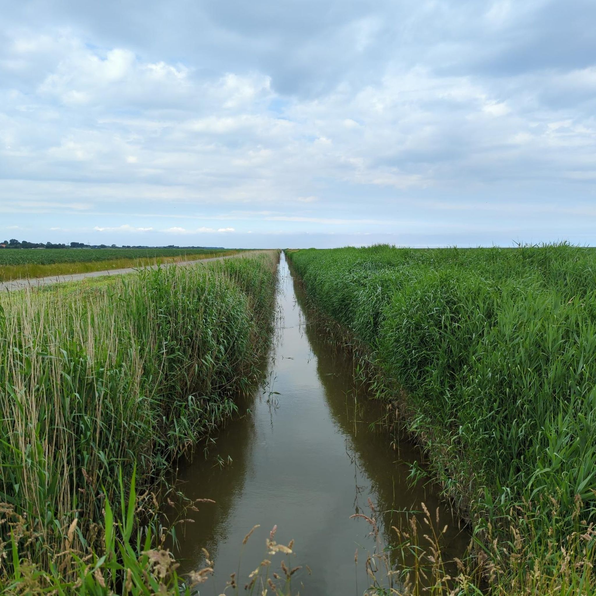
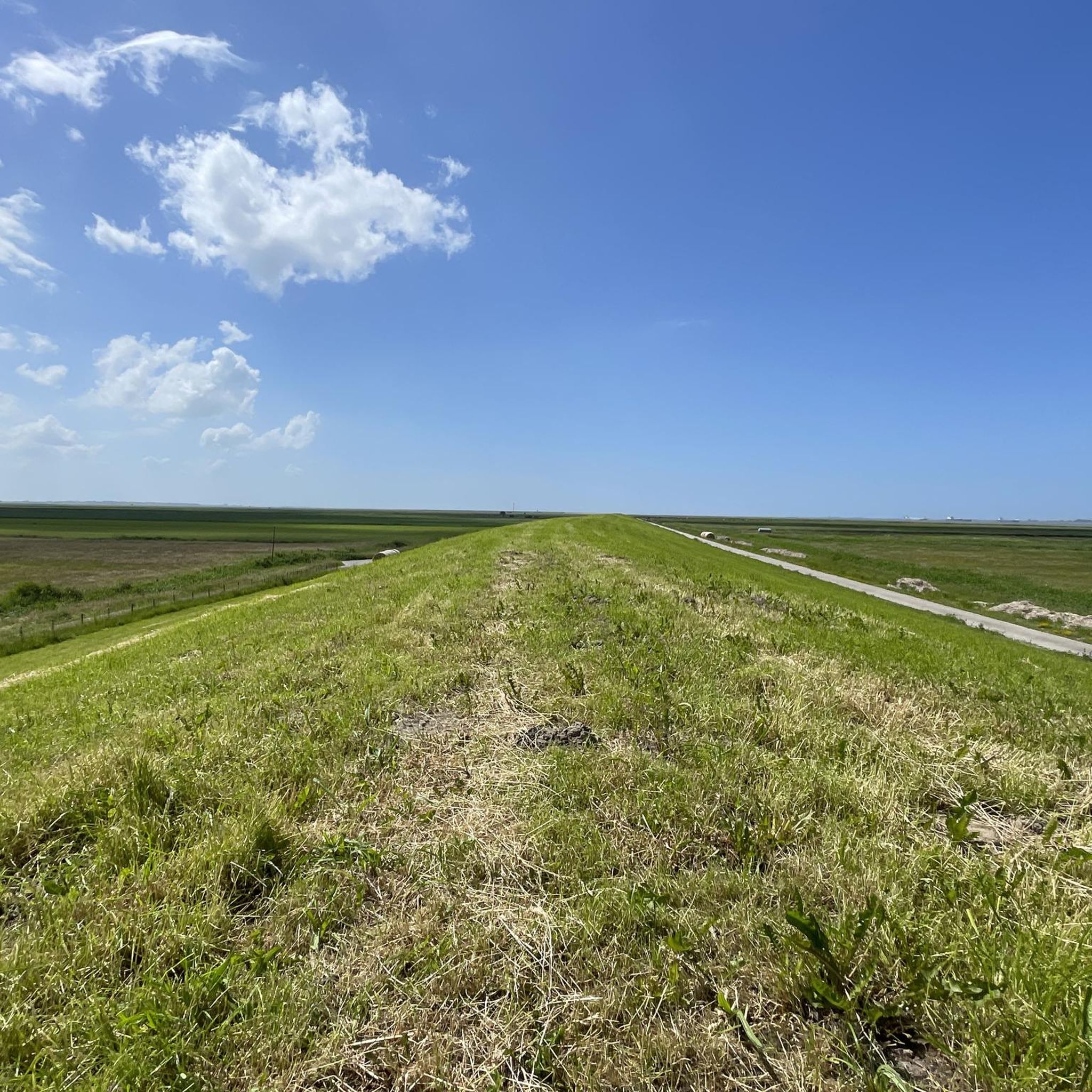
Tips from the Community

Beautiful cycling route suitable for every type of bike.
0
0

A great bike and hiking trail leads here amidst beautiful nature, highly recommended and interesting at the same time 👍🏼.
4
0
A beautiful small harbor, it is recommended to take a break. A great cycling and hiking route runs along here.
3
0
A great cycling and hiking route runs along here amidst beautiful nature, always along the dike of the Oste. Highly recommended.
1
0
A great bascule bridge with a great view of the Oste. A super bike and hiking trail runs along here amidst beautiful nature 💚.
7
0
The Evangelical Lutheran St. Wulphardi Church, a listed historical monument, stands in Freiburg im Elbe. It is located in the Stade district of Lower Saxony. The parishioners of Freiburg belong to the Stade church district, which is part of the Stade region of the Evangelical Lutheran State Church of Hanover. https://www.kirchenkreis-stade.de/
6
0
A fantastic cycling and hiking trail runs along here, amidst beautiful scenery. We hiked along this route in February, surrounded by stunning nature, and it was wonderful. Highly recommended.
1
0
A fantastic cycling route and hiking trails wind through beautiful natural surroundings. A visit is highly recommended and very interesting 👍🏼.
0
0
Frequently Asked Questions
How many road cycling routes are available in Balje?
Balje offers a wide selection of road cycling routes, with over 130 different tours available. These routes cater to various preferences, from easy, relaxed rides to more moderate distances, all within the flat landscapes of Lower Saxony.
What is the typical terrain like for road cycling in Balje?
The terrain in Balje is predominantly flat, characterized by its proximity to the Elbe River and extensive dike systems. You'll find mostly paved surfaces, making for smooth rides with minimal elevation gain. Many routes follow dedicated cycle paths along dikes, offering scenic views of the river and surrounding marsh and moorland.
Are there any long-distance road cycling routes in the Balje area?
Yes, Balje is strategically located along the Elbe Cycle Route (Elberadweg), one of Europe's most renowned long-distance cycling paths. This route offers extensive stretches of flat, paved cycling, ideal for longer rides. Locally, you can find routes like the Elbe Dike Cycling Route – Otterndorf Old Town loop, which spans 110 kilometers.
What natural features or landmarks can I expect to see while cycling?
While cycling in Balje, you'll encounter the expansive Elbe River and its dike systems, offering views of river traffic. The region is part of the Elbe-Weser Triangle, featuring marsh and moorland. You can also explore the unique wetland ecosystem of the nearby Wadden Sea, a UNESCO World Heritage site, and the rich biodiversity of the Oste Estuary. Notable landmarks include the Historic Town Center of Otterndorf and various lighthouses.
Are there family-friendly road cycling options in Balje?
Absolutely. The predominantly flat terrain and dedicated cycle paths make Balje an excellent destination for family-friendly road cycling. Routes like the Hadelner Canal – Medem River Estuary and Lock loop from Neuhaus (Oste) are easy and follow waterways, perfect for a relaxed family outing.
Can I find circular road cycling routes around Balje?
Yes, many road cycling routes in Balje are designed as loops, allowing you to start and end at the same point. Examples include the Elbe Dike Cycle Path – Gut Hörne Café · Bistro · Shop loop from Balje, Hörne-West and the Ostebogen near Geversdorf – St. George's Church Oberndorf loop from Balje, Hörne-West, offering convenient circular tours.
What is the best time of year for road cycling in Balje?
The best time for road cycling in Balje is generally from spring through early autumn (April to October). During these months, the weather is typically milder and more stable, with less wind and rain, making for more enjoyable rides along the open dikes and flat landscapes.
Where can cyclists find places to eat or stay near the routes?
The Balje region, including nearby towns, offers various options for cyclists. You'll find cafes, pubs, and restaurants in local villages, often integrated into popular cycling routes. For example, the Elbe Dike Cycle Path – Gut Hörne Café · Bistro · Shop loop from Balje, Hörne-West passes by Gut Hörne Café, Bistro & Shop. Accommodation ranges from guesthouses to holiday rentals, particularly in areas popular with tourists.
How can I get to the road cycling routes in Balje, and is parking available?
Balje is accessible by car, and parking is generally available in the villages and at designated starting points for cycling routes. Public transport options might be more limited, but some regional buses can connect you to the area. It's advisable to check local transport schedules if you plan to use public transport with your bike.
What makes road cycling in Balje unique compared to other regions?
Road cycling in Balje is unique due to its distinct northern German landscape. The combination of the vast Elbe River, extensive dike systems, and the flat marsh and moorland creates a serene and open cycling experience. You'll ride through the maritime flair of the Kehdingen region, passing traditional thatched-roof houses and enjoying views of the Wadden Sea, a UNESCO World Heritage site, all on predominantly flat, well-maintained paths.
Are there routes suitable for beginners or those looking for an easy ride?
Yes, Balje is very welcoming for beginners and those seeking easy rides. The region's flat terrain means minimal elevation gain, making it less physically demanding. Routes like the Hadelner Canal – Medem River Estuary and Lock loop from Neuhaus (Oste) are classified as easy and are perfect for a relaxed cycling experience.
What do other cyclists say about the road cycling experience in Balje?
The road cycling routes in Balje are highly rated by the komoot community, with an average score of 4.7 stars from over 140 reviews. Cyclists often praise the quiet, well-maintained paths along the dikes, the scenic views of the Elbe River, and the overall accessibility of the flat terrain for all skill levels.
Are there any specific lighthouses I can cycle to or see?
Yes, lighthouses are prominent landmarks in the Balje region and are often integrated into cycling tours. You can cycle to or see the historic Old Balje Lighthouse and the distinctive Dicke Berta Lighthouse, both offering picturesque photo opportunities and serving as interesting points along your route.
Most popular attractions around Balje

Get inspired with the komoot mobile app


Explore more
Browse the best Road cycling routes in other regions.
