The best walks and hikes around Calorguen
4.5
(850)
5,718
hikers
151
hikes
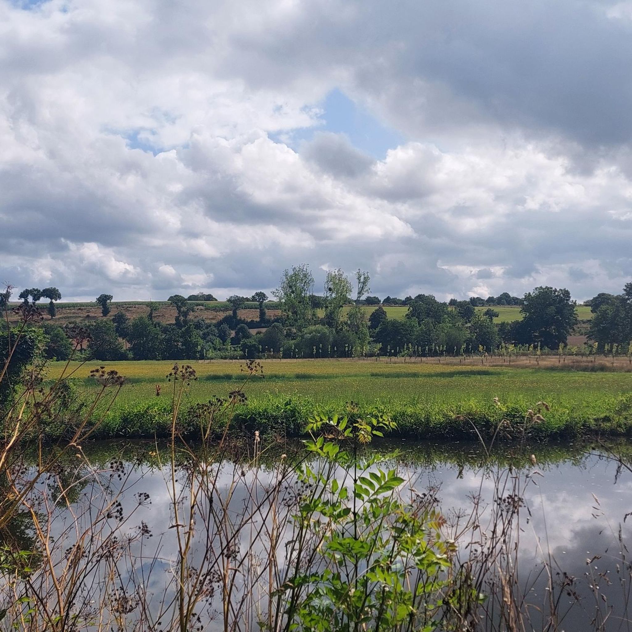
Hiking around Calorguen offers routes through a landscape characterized by gentle river valleys, tranquil ponds, and historic villages. The terrain is generally flat to gently rolling, with minimal elevation changes, making it accessible for various activity levels. This region provides opportunities to explore both natural waterways and the cultural heritage of the area.
Best hiking trails around Calorguen
- The most popular hiking route is Bétineuc Pond Loop, an easy 2.7 miles (4.3 km) trail that takes about 1 hour…
Last updated: October 7, 2026
4.3
(16)
137
hikers
4.26km
01:04
10m
10m
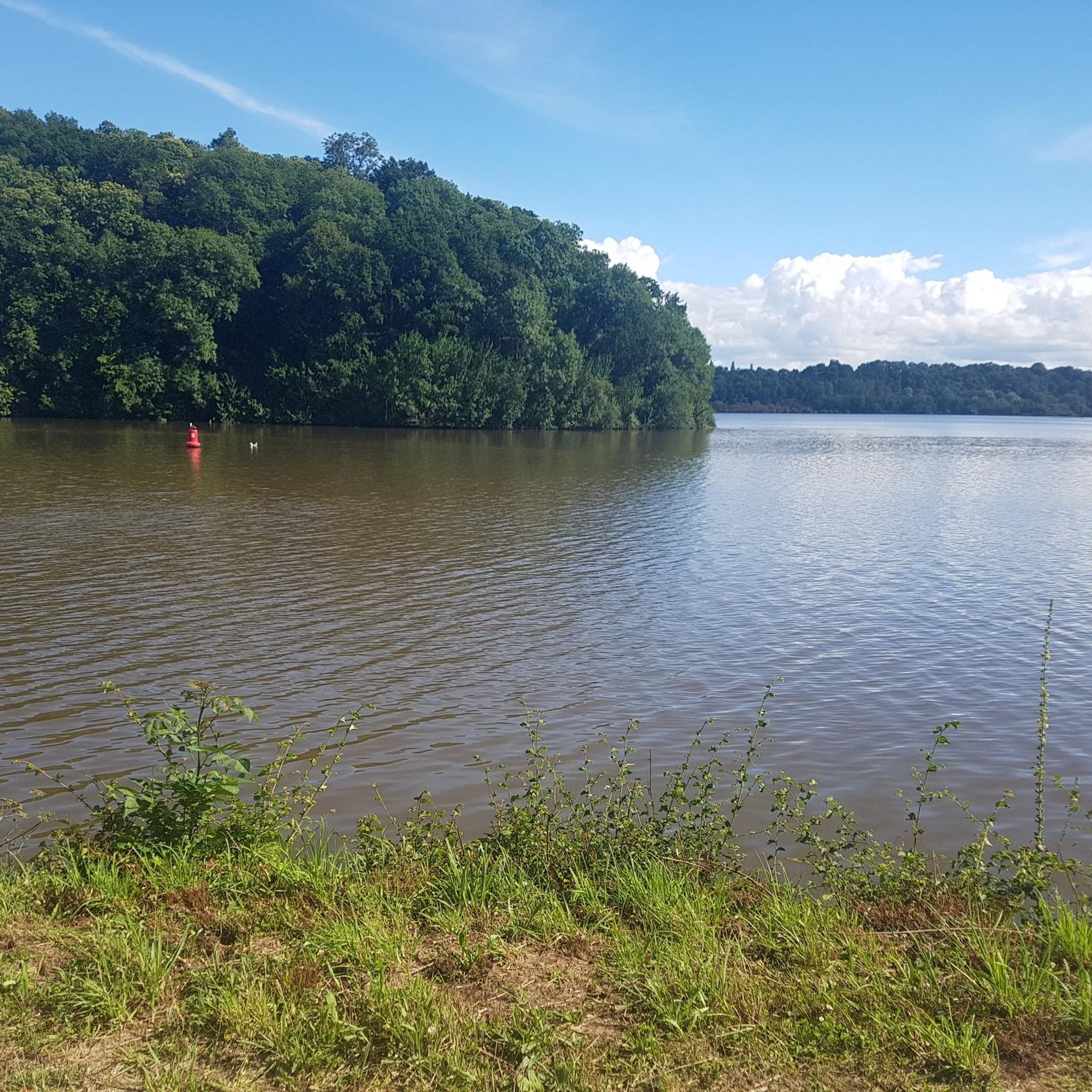
Enjoy an easy 2.6-mile hike around Etang de Bétineuc, offering pleasant lake views and family-friendly amenities near Saint-André-des-Eaux.
4.6
(81)
427
hikers
7.57km
02:05
130m
130m
Moderate hike. Good fitness required. Easily-accessible paths. Suitable for all skill levels.

4.7
(33)
270
hikers
4.76km
01:16
50m
50m
Easy hike. Great for any fitness level. Easily-accessible paths. Suitable for all skill levels.
4.8
(8)
31
hikers
15.1km
04:04
190m
190m
Moderate hike. Good fitness required. Easily-accessible paths. Suitable for all skill levels.
5.0
(3)
28
hikers
15.1km
04:03
170m
170m
Moderate hike. Good fitness required. Easily-accessible paths. Suitable for all skill levels.
Get access to more routes and recommendations from other explorers.
Already have an account?
Our route recommendations are based on thousands of hikes, rides, and runs completed by other people on komoot.
Start today with a free account
Your next adventure awaits.

Tips from the Community

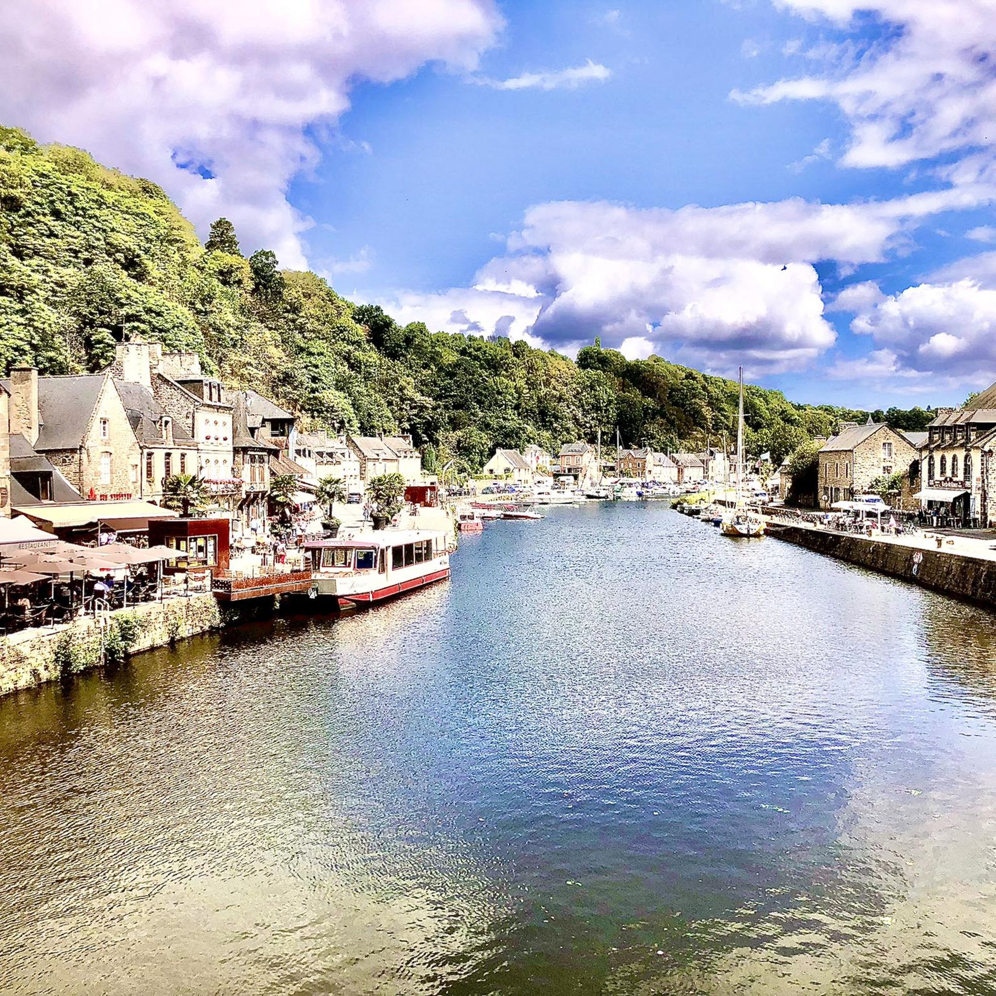
The harbor had been an important trading post for the city since the Middle Ages. Goods such as grain, wood, and salt were mainly transported via the waterway, contributing to Dinan's economic rise.
21
0
Dinan's Old Bridge (Vieux Pont) spans the Rance and connects the harbor with the historic old town. It was built in the Middle Ages and was the most important access to the city for centuries. After several renovations and partial destruction in World War II, it was restored.
15
0

Small harbor on the river, with views of the viaduct and many restaurants. Simply beautiful.
1
0
Very nice bridge, right on the harbor. You should definitely go.
0
0
Very beautiful church. I especially liked the windows.
1
0

I was particularly impressed by the church windows.
1
0
The harbor with the old bridge is one of the most beautiful corners of Dinan.
1
0
Dinan was founded in the 11th century at a strategic location on the Rance River. It developed into a fortified trading and market town during the Middle Ages. In the 14th century, Dinan played an important role in the Hundred Years' War and was repeatedly contested. The town is known for its well-preserved medieval old town with half-timbered houses, city walls, and the Saint-Sauveur Basilica.
15
0
Frequently Asked Questions
How many hiking trails are available around Calorguen?
There are over 150 hiking routes in the Calorguen area, catering to various skill levels. You'll find a diverse network of paths through river valleys, around tranquil ponds, and connecting historic villages.
Are there easy hikes suitable for beginners or families in Calorguen?
Yes, Calorguen is well-suited for beginners and families, with 76 easy routes. The terrain is generally flat to gently rolling. A great option is the Bétineuc Pond Loop, which is an easy 2.7-mile (4.3 km) path offering scenic views.
Can I find circular hiking routes in the Calorguen region?
Yes, circular routes are a common feature of hiking in Calorguen. Many trails are designed as loops, allowing you to start and finish at the same point. For instance, the Etang de Bétineuc loop from Saint-André-des-Eaux is a pleasant circular walk.
What kind of natural attractions can I see along the hiking trails?
The region's trails often lead past beautiful natural features. You can explore several tranquil lakes such as Etang de Bétineuc, Pont Ruffier Reservoir, and Lac de Rophemel. Some routes also feature the charming Néal Waterfall.
Are there any historic sites or cultural landmarks to explore while hiking?
Absolutely. Many trails connect to or pass by historic towns and sites. You can discover the medieval charm of Dinan Old Town, visit the impressive Saint-Sauveur Basilica, or walk along the historic Chemin de Halage Along the Rance. The The Rance – Léhon loop from Dinan is a great example of a route combining nature and history.
What do other hikers enjoy most about the trails around Calorguen?
The trails around Calorguen are highly rated by the komoot community, with an average score of 4.4 stars from over 500 reviews. Hikers frequently praise the peaceful atmosphere, the well-maintained paths, and the beautiful blend of natural landscapes and historic architecture, especially along the Rance river.
Are there any longer or more challenging hikes for experienced hikers?
While the region is known for its gentle terrain, there are a few longer routes for those seeking more of a challenge. For example, the The Port of Dinan – Abbaye Saint-Magloire de Léhon loop from Léhon is a difficult 13-mile (20.9 km) trail that offers a longer exploration of the area.
Is Calorguen a good destination for wildlife spotting during a hike?
The tranquil ponds and river valleys around Calorguen provide habitats for various local wildlife. While specific spotting opportunities depend on the season and time of day, you might encounter waterfowl, small mammals, and diverse bird species, particularly around areas like Etang de Bétineuc and along the Rance river.
What is the best time of year to go hiking in Calorguen?
The best time for hiking in Calorguen is generally from spring to autumn (April to October) when the weather is mild and the natural scenery is at its most vibrant. The gentle terrain also makes it suitable for pleasant walks during cooler, drier winter days, though some paths might be muddier.
Are there options for public transport to reach hiking trailheads near Calorguen?
While Calorguen itself is a smaller commune, the nearby town of Dinan serves as a regional hub with public transport connections. Many popular trails, such as the Dinan – Dinan Harbour loop from Dinan, are accessible from Dinan, which can be reached by bus or train from larger cities.
Where can I find parking for hiking trails in the Calorguen area?
Parking is typically available near popular trailheads and points of interest. For routes around ponds like Bétineuc, you'll often find designated parking areas. When starting from towns like Dinan, public parking lots are usually available, though they may require a fee.
Most popular routes around Calorguen
Most popular attractions around Calorguen

Get inspired with the komoot mobile app


Explore more
Browse the best Hikes in other regions.
