The best walks and hikes around Montaren-Et-Saint-Médiers
4.5
(1180)
6,206
hikers
224
hikes
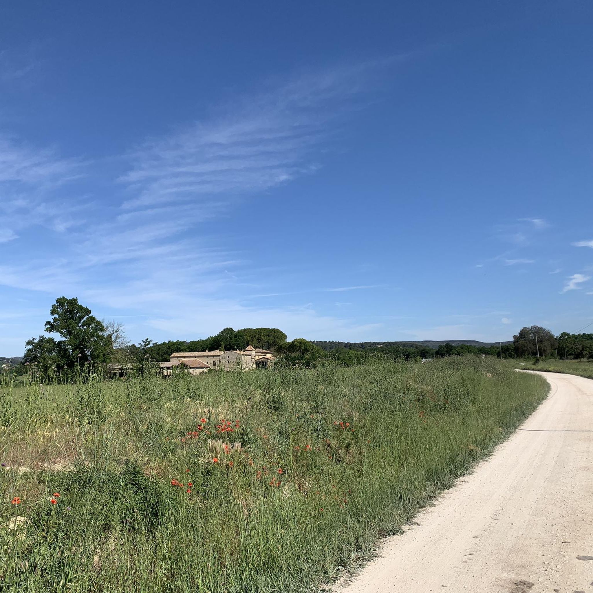
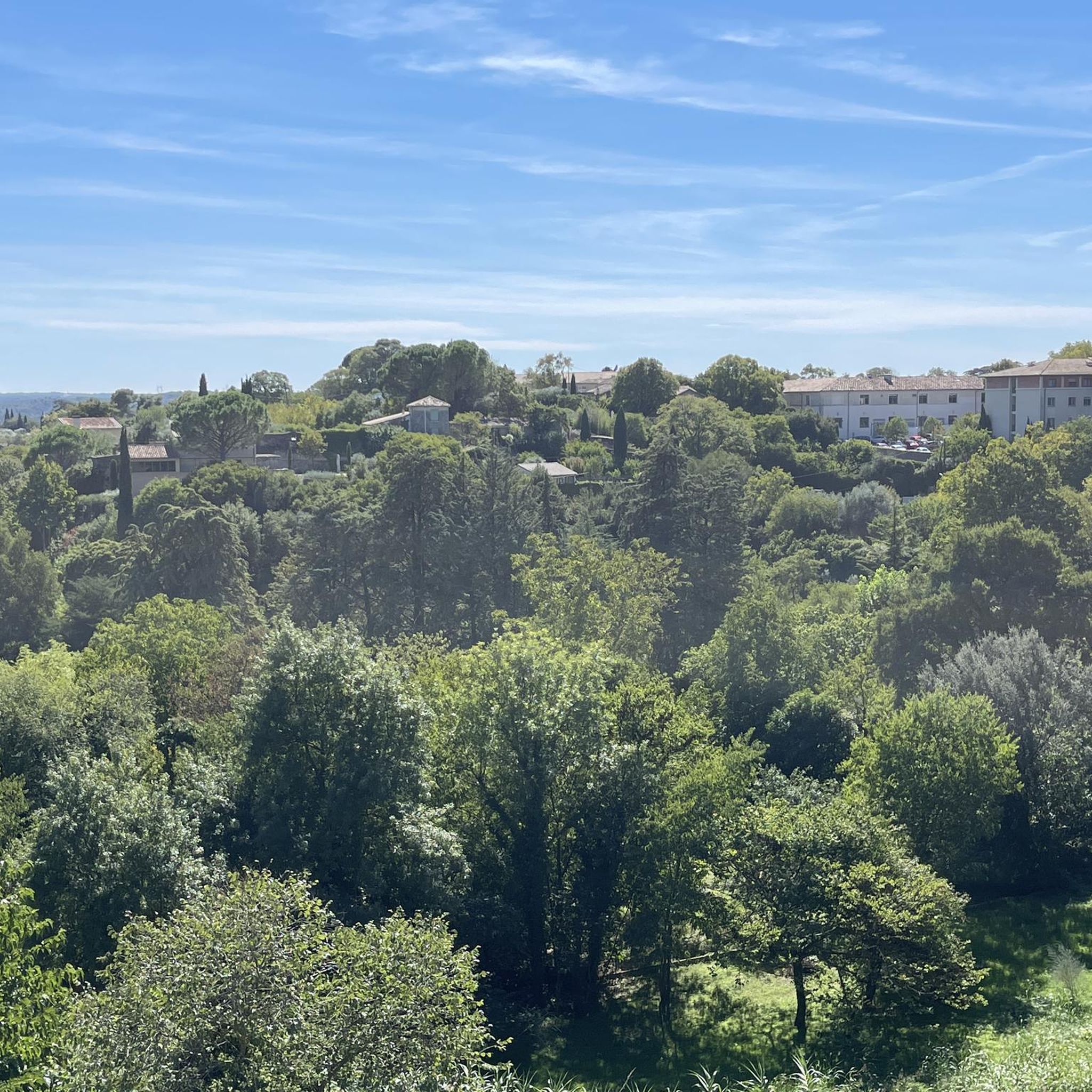
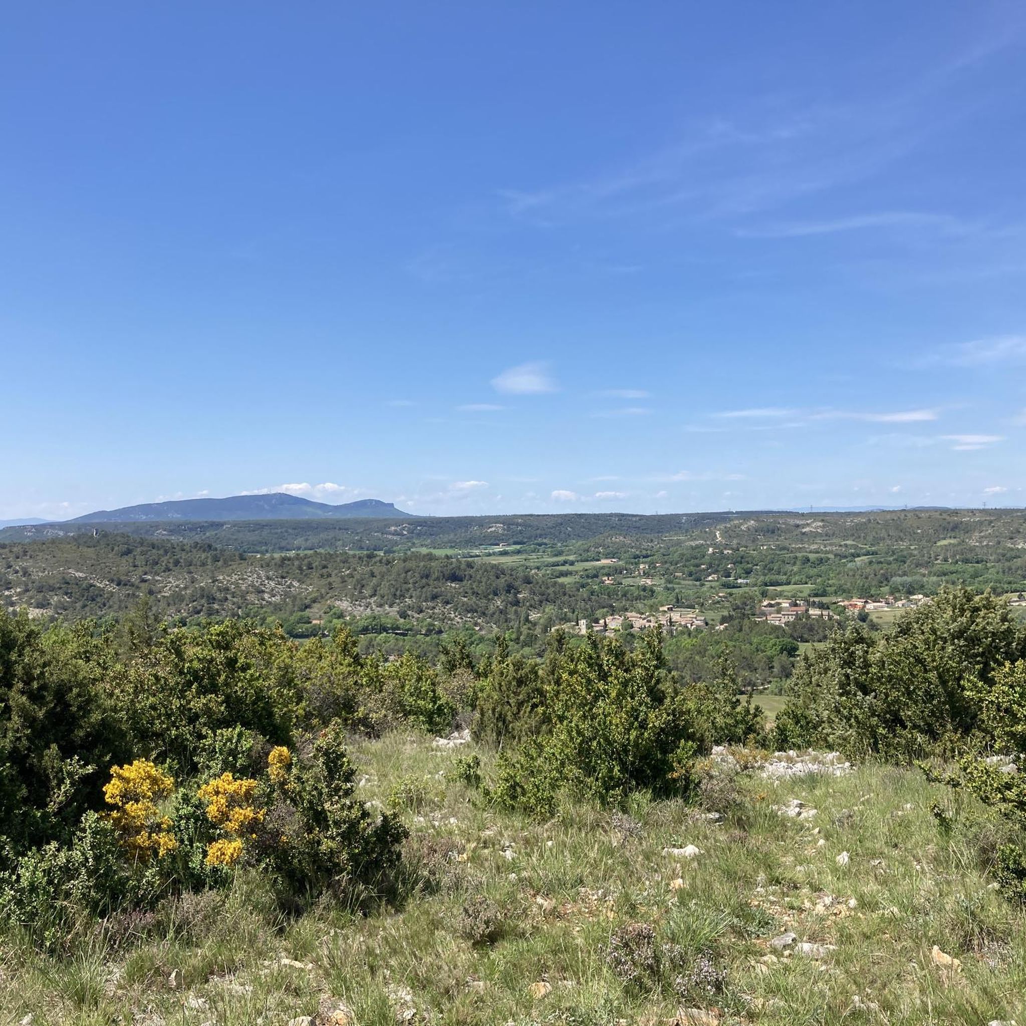
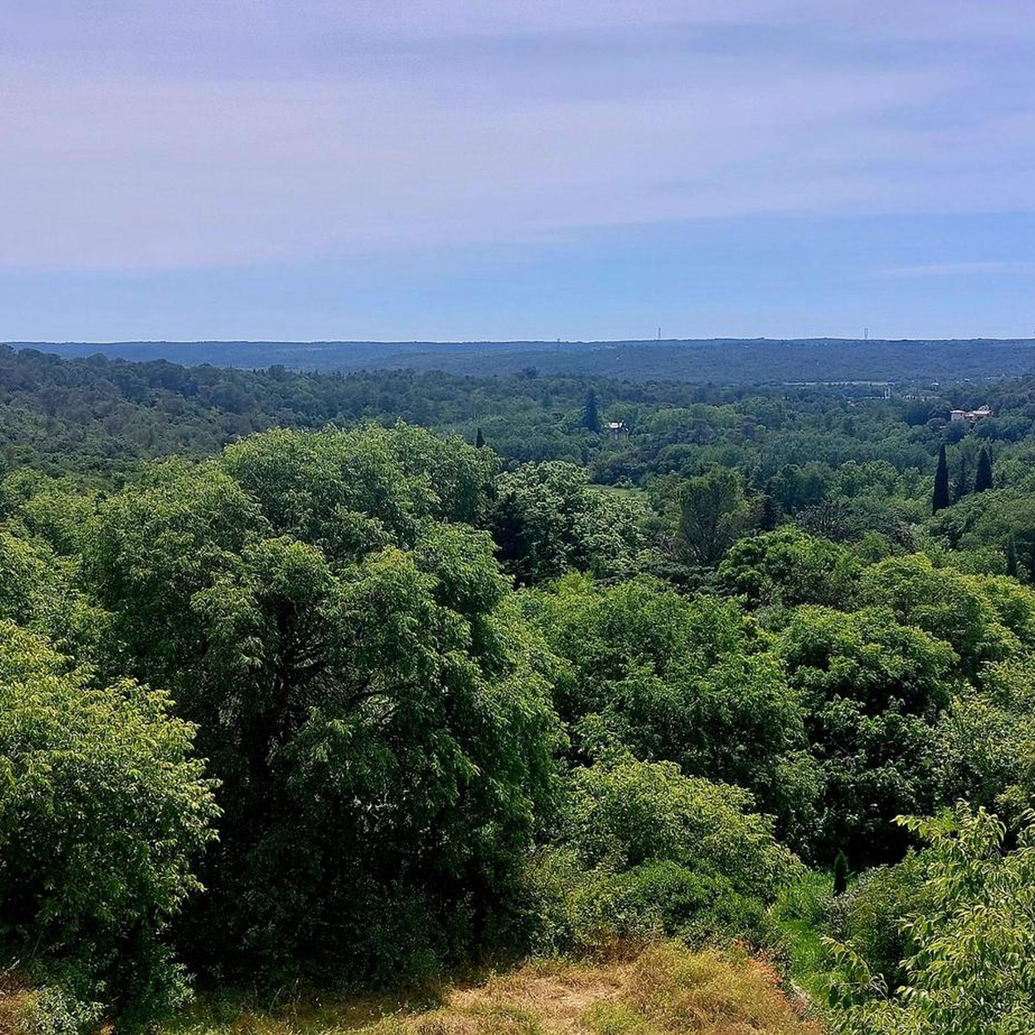
Hiking around Montaren-Et-Saint-Médiers offers routes through a landscape characterized by garrigue, riverbanks, and historic towns. The region features gentle elevation changes, with trails often following waterways like the Alzon River. Paths frequently pass by ancient walls and through local villages, providing a mix of natural and cultural scenery. The terrain is generally accessible, with options ranging from short, flat walks to longer routes with moderate ascents.
Best hiking trails around Montaren-Et-Saint-Médiers
- The most popular hiking route is Belvédère des Garrigues…
Last updated: July 8, 2026
4.4
(16)
140
hikers
15.3km
04:20
330m
330m
Moderate hike. Good fitness required. Easily-accessible paths. Suitable for all skill levels.
4.3
(6)
32
hikers
4.44km
01:15
90m
90m
Easy hike. Great for any fitness level. Easily-accessible paths. Suitable for all skill levels.

Sign up for free
4.5
(4)
21
hikers
Moderate hike. Good fitness required. Easily-accessible paths. Suitable for all skill levels.
3.5
(2)
30
hikers
2.83km
00:45
30m
30m
Easy hike. Great for any fitness level. Easily-accessible paths. Suitable for all skill levels.
4.3
(8)
31
hikers
Moderate hike. Good fitness required. Easily-accessible paths. Suitable for all skill levels.
Get access to more routes and recommendations from other explorers.
Sign up for free
Already have an account?
Our route recommendations are based on thousands of hikes, rides, and runs completed by other people on komoot.
Start today with a free account
Your next adventure awaits.
Login or Signup

Tips from the Community

In the 1st century AD, the Romans harnessed the abundant water supply of the Alzon River, the source of the Eure River, located in a small valley at the foot of the city. It is here that the water begins its long journey (over 50 km) to Nîmes via an aqueduct, the most spectacular part of which remains the Pont du Gard, a UNESCO World Heritage Site, spanning the Gardon River. The Eure Valley is a must-see destination for walks for both the residents of Uzès and tourists.
0
0
The true starting point of the aqueduct, this masonry structure, measuring approximately ten square meters and located a few hundred meters downstream from the water intake in the Eure Valley, was discovered in 1991 by a team of amateur archaeologists. It served to regulate the amount of water delivered to Nîmes using sluice gates that diverted excess water back into the Alzon River. At the other end of the structure, 50 kilometers away, the Castellum (still visible on Rue de la Lampèze, it is the best-preserved Roman aqueduct) distributed water to the various districts of the city.
0
0

A square surrounded by arcades. Beautiful cafés, shops, and restaurants are located beneath the plane trees. There's a market here and throughout most of the town on Wednesdays and Saturdays.
0
0

According to a map from the tourist information office, the somewhat steep Rue St-Théodorit is one of the most picturesque streets in Uzès. Of course, there are many other very pretty streets 😃.
0
0

Remains of an old railway bridge
0
0
This building was roofed in 1889 and walled on three sides, with a gable roof of mechanical tiles, supported by the walls and four limestone pillars to the south. The wooden frame, restored several times, rests on the open side on a wooden wall plate. This washhouse is fed by a spring located about 1 km northeast of the village, whose flow varies depending on the weather. It enters a vaulted reservoir, accessible through a rectangular opening in the west wall. On the north wall, three windows and a small vaulted bay on the west wall provide ventilation for the building. Seventeen stone steps provide access to the two rectangular basins, each 9 meters long. As in most washhouses of the period, one basin is used for washing, the one on the right because it is warmer, the second, closer to the spring, and therefore cooler, for rinsing, with limestone tables. A channeled overflow, with hammerstones, no longer very watertight, and a stone outlet, feeds a stream to the east of the building.
0
0

Beautiful hike, our region hides some nice surprises 😉
0
0

Old bridge built of stone and to withstand heavy flooding.
0
0
Frequently Asked Questions
How many hiking trails are there in Montaren-Et-Saint-Médiers?
There are over 220 hiking routes available around Montaren-Et-Saint-Médiers, offering a wide range of options for different skill levels and preferences. These trails explore the local garrigue, riverbanks, and historic towns.
Are there easy hiking trails suitable for beginners or families?
Yes, Montaren-Et-Saint-Médiers offers over 100 easy hiking trails. A great option for families or beginners is the Old walls – Place aux Herbes loop from Uzès, which is just 1.9 miles (3.1 km) and takes less than an hour to complete, passing through historic town features.
What kind of terrain can I expect on the hiking trails?
The terrain around Montaren-Et-Saint-Médiers is generally accessible, characterized by garrigue landscapes, riverbank paths, and routes through historic towns. You'll find gentle elevation changes, with trails often following waterways like the Alzon River and passing by ancient walls.
Are there any circular walks available?
Many of the trails in the region are circular, allowing you to start and end at the same point. For example, the Alzon Riverbank – Old walls loop from Uzès is an easy 3.7 miles (5.9 km) circular path that follows the Alzon river and passes historic town walls.
What can I see along the hiking trails in terms of landmarks or attractions?
Hiking trails often pass by significant local landmarks. You might encounter historic sites like the Saint Vérédème Chapel or the La Baume Saint-Vérédème Cave and Chapel. Many routes also lead through charming towns like Uzès, where you can explore places like the Place aux Herbes.
Is Montaren-Et-Saint-Médiers suitable for dog-friendly hiking?
Yes, many trails in Montaren-Et-Saint-Médiers are suitable for hiking with dogs. The varied terrain, including riverbanks and open garrigue, provides interesting environments for pets. Always ensure your dog is on a leash where required and respect local wildlife and other hikers.
What is the best time of year to go hiking in Montaren-Et-Saint-Médiers?
The best times to hike in Montaren-Et-Saint-Médiers are typically spring and autumn. During these seasons, the weather is mild, and the natural landscapes are vibrant. Summer can be quite hot, so early morning or late afternoon hikes are recommended, while winter offers cooler, often pleasant conditions for walking.
Are there any trails that offer views or natural monuments?
Absolutely. The region features several viewpoints and natural monuments. You can find trails leading to places like Le Castellas – View over the Gardon or the Source of the Eure, offering scenic vistas and natural beauty.
What do other hikers enjoy most about hiking in Montaren-Et-Saint-Médiers?
The area is highly rated by the komoot community, with an average score of 4.6 stars from over 900 reviews. Hikers often praise the diverse scenery, which combines historic towns with natural riverbanks and garrigue, as well as the accessibility of the trails for various skill levels.
Are there any longer, more challenging routes for experienced hikers?
While many trails are easy to moderate, there are options for longer hikes. The Belvédère des Garrigues – Alzon Riverbank loop from Uzès is a moderate 9.5 miles (15.3 km) trail with steady climbs, offering a more extended experience and views over the garrigue.
Is public transport available to reach trailheads?
While specific public transport details for every trailhead are not provided, many routes start from towns like Uzès, which typically have local bus services. It's advisable to check local transport schedules if you plan to rely on public transport to reach your starting point.
Are there places to eat or drink along the trails or in nearby villages?
Many hiking routes pass through or near local villages and historic towns like Uzès. These areas often have cafes, restaurants, and shops where you can find refreshments or a meal. It's a good idea to carry water and snacks, especially on longer routes, as services might not be directly on the trail.
Most popular routes around Montaren-Et-Saint-Médiers
Most popular attractions around Montaren-Et-Saint-Médiers

Get inspired with the komoot mobile app


Explore more
Browse the best Hikes in other regions.
