The best MTB trails around Niedersteinbrunn
4.5
(632)
2,432
riders
336
rides
Mountain bike trails around Niedersteinbrunn are situated at the intersection of the Palatinate Forest in Germany and the Vosges Mountains in France. This region features extensive networks of trails, characterized by hilly landscapes, dense forests, and unique red sandstone rock formations. The terrain offers a mix of technically challenging singletrack and wider paths, with constant changes in elevation. Riders can expect diverse natural features and historical attractions throughout the area.
Best mountain bike trails around Niedersteinbrunn
- The most popular mountain…
Last updated: October 18, 2026
3.8
(6)
23
riders
35.0km
02:49
420m
410m
Moderate mountain bike ride. Good fitness required. Advanced riding skills necessary.
5.0
(4)
22
riders
47.6km
02:38
130m
130m
Moderate mountain bike ride. Good fitness required. Suitable for all skill levels.

4.7
(9)
13
riders
24.8km
02:05
370m
370m
Moderate mountain bike ride. Good fitness required. Advanced riding skills necessary.
4.8
(4)
9
riders
24.1km
01:58
250m
240m
Easy mountain bike ride. Great for any fitness level. Suitable for all skill levels.
4.7
(3)
10
riders
34.7km
02:51
420m
420m
Moderate mountain bike ride. Good fitness required. Suitable for all skill levels.
Get access to more routes and recommendations from other explorers.
Already have an account?
Our route recommendations are based on thousands of hikes, rides, and runs completed by other people on komoot.
Start today with a free account
Your next adventure awaits.

Tips from the Community

unfortunately overgrown due to water traffic
0
0
magnificent bridge over the Rhine
0
0

Beautiful bridge and great views.
1
0

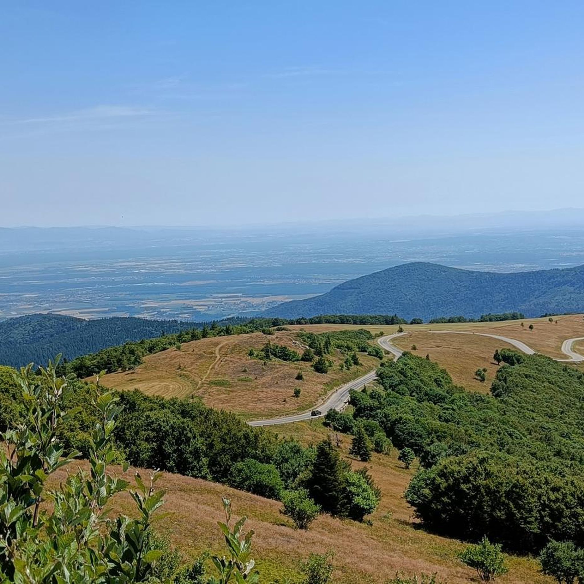
A 360° view of all the surrounding massifs. A viewpoint renowned, as evidenced by the sign referring to Frédéric Guillaume de Hohenzollern.
0
0

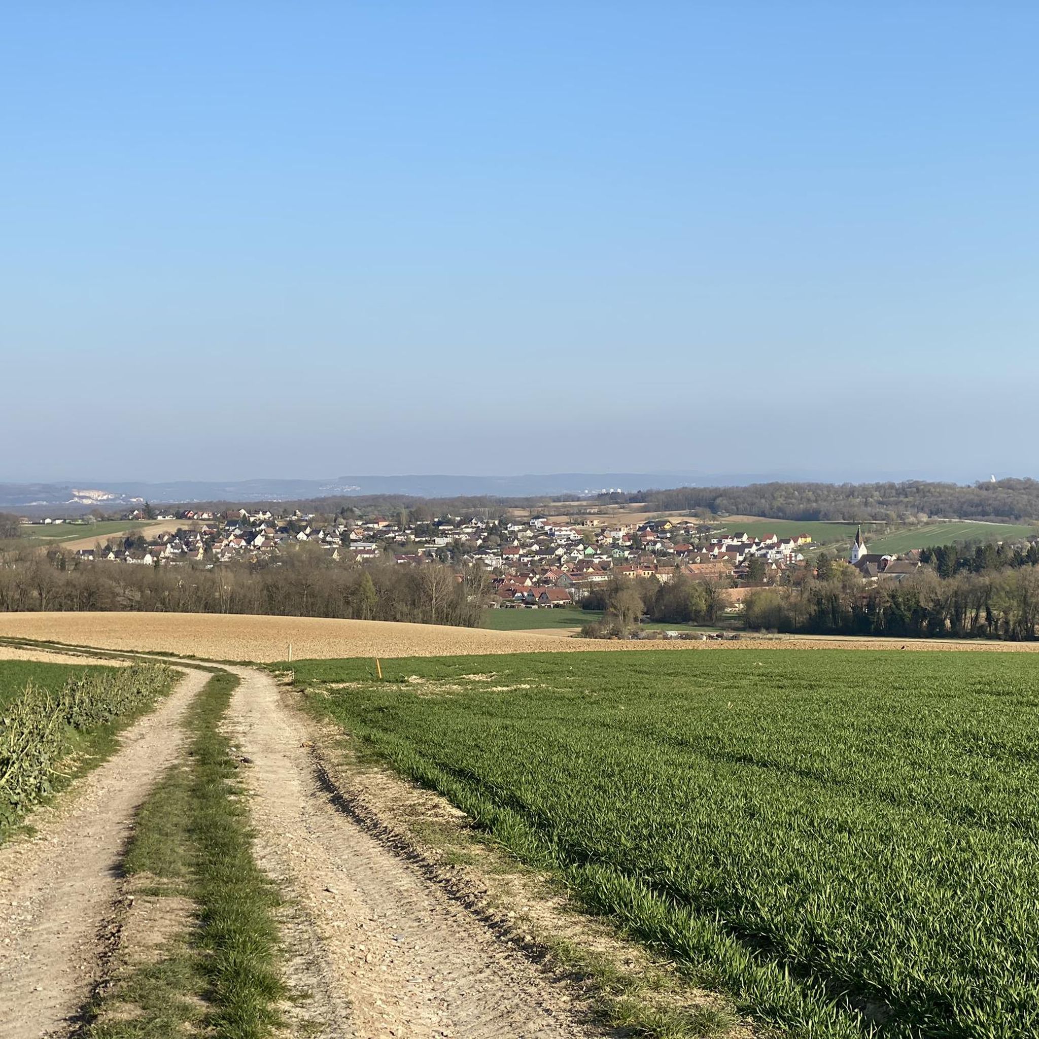
A pleasant cycle path linking Eschentzwiller to Dietwiller through the fields
0
0
A very pleasant and well-equipped place, ideally located along a cycle path.
0
0

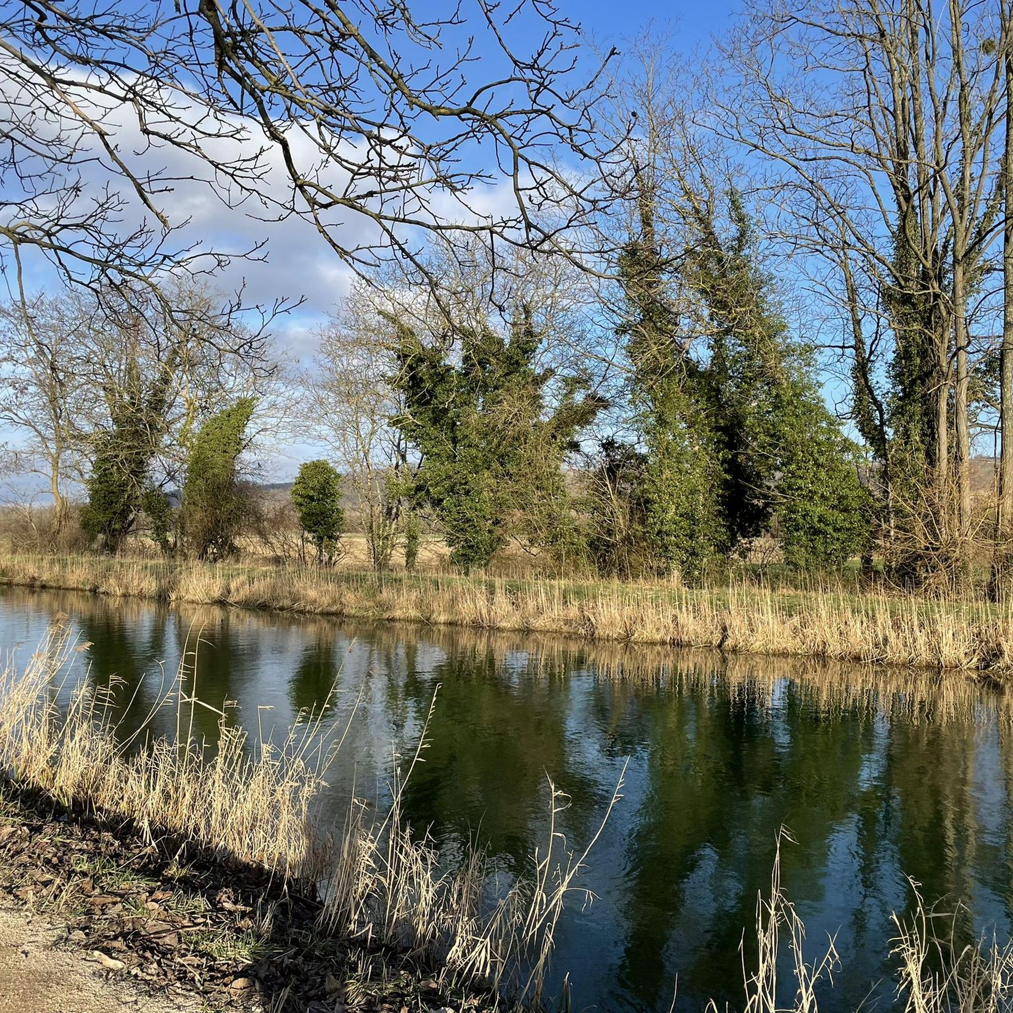
Short MTB / BMX type track in the woods next to the cannel path.
0
0

The Obere Au Observatory, nestled in the heart of the Petite Camargue Alsacienne, is a true haven for nature lovers and birdwatchers. Located in a protected area, this observatory offers an exceptional view of the many birds that inhabit this reserve. Visitors can observe storks, herons, and other iconic species in their natural habitat, while enjoying the peace and serenity of the surrounding landscape. An ideal destination for a total immersion in Alsatian biodiversity.
0
0
Frequently Asked Questions
How many mountain bike trails are available around Niedersteinbrunn?
There are over 380 mountain bike trails around Niedersteinbrunn, offering a wide range of options for all skill levels. This includes more than 100 easy routes, over 260 moderate trails, and 10 difficult routes for experienced riders.
What kind of terrain can I expect on mountain bike trails near Niedersteinbrunn?
The terrain around Niedersteinbrunn is characterized by hilly landscapes, dense forests, and unique red sandstone rock formations, as it sits at the intersection of the Palatinate Forest and the Vosges Mountains. You'll find a mix of technically challenging singletrack and wider paths, with constant changes in elevation, providing a dynamic riding experience.
Are there mountain bike trails suitable for beginners in Niedersteinbrunn?
Yes, Niedersteinbrunn offers over 100 easy mountain bike routes. An example of a suitable trail for beginners is the Grand Chêne loop from Mulhouse, which is 14.5 miles (23.3 km) long and leads through dense woodlands and rolling hills with moderate elevation changes.
Are there challenging mountain bike routes for experienced riders?
Absolutely. The region provides 10 difficult routes for experienced mountain bikers, along with over 260 moderate trails that can offer a good challenge. The Palatinate Forest and Vosges Mountains are known for their extensive networks, including technical singletrack sections with roots, rocks, and hairpin bends.
What natural features or landmarks can I see while mountain biking around Niedersteinbrunn?
You can encounter diverse natural features and historical landmarks. The region is known for its picturesque forests, unique red sandstone rocks, and rolling hills. Notable natural monuments include the Steinbach Square and The Great Oak. You might also pass by the Huningue Canal or the Petite Camargue Alsacienne Nature Reserve.
Are there any historical sites along the mountain bike trails?
Yes, the region is rich in history. You can find numerous historical castle ruins, such as Wegelnburg Castle and Loewenstein Castle, which often offer panoramic views. The Motte Castrale de Willer is another historical site you might encounter. The Tumulus, Celtic tomb – View of the Alps loop from Mulhouse specifically passes historical points of interest.
Are the mountain bike trails around Niedersteinbrunn family-friendly?
Many of the over 100 easy routes are suitable for families, especially those with wider, flatter paths through the forests. The Vosges Mountains, adjacent to Niedersteinbrunn, also specifically offer itineraries designed for families. Always check the route difficulty and length to ensure it matches your family's skill level.
Can I bring my dog on the mountain bike trails?
Generally, dogs are welcome on many trails in the Palatinate Forest and Vosges Mountains, provided they are kept on a leash and you adhere to local regulations, especially in nature reserves. It's always best to check specific trail rules or local signage before heading out with your dog.
What do other mountain bikers enjoy most about mountain biking in Niedersteinbrunn?
The area is highly rated by the komoot community, with an average score of 4.5 stars from over 500 reviews. Reviewers often praise the diverse terrain, the extensive network of trails suitable for various skill levels, and the beautiful natural scenery, including dense forests and unique rock formations.
Are there circular mountain bike routes available?
Yes, many routes around Niedersteinbrunn are designed as loops, allowing you to start and end at the same point. Examples include the Small lake with island – Memorial Bench in the Forest loop from Mulhouse and the Grand Chêne – Memorial Bench in the Forest loop from Landser, which offer varied distances and elevations.
What is the best time of year to go mountain biking in Niedersteinbrunn?
The spring, summer, and autumn months generally offer the best conditions for mountain biking in Niedersteinbrunn. During these seasons, the weather is typically mild, and the trails are dry. While some trails may be accessible in winter, conditions can be challenging due to snow or ice, especially at higher elevations.
Are there mountain bike trails with cafe stops or places to rest?
While specific cafe stops are not always directly on every trail, the region's proximity to towns like Mulhouse and smaller villages means you can often find amenities nearby. Many routes pass through or near areas where you can find cafes, pubs, or restaurants to refuel. Planning your route with komoot allows you to identify potential stops along the way.
Is public transport available to access mountain bike trails in Niedersteinbrunn?
Access to trails via public transport can vary. While major towns like Mulhouse have good public transport links, reaching specific trailheads in more rural areas might require a combination of public transport and a short ride or walk. It's advisable to check local bus or train schedules and bike transport policies for your chosen starting point.
Most popular routes around Niedersteinbrunn
Most popular attractions around Niedersteinbrunn

Get inspired with the komoot mobile app


Explore more
Browse the best MTB trails in other regions.
